
On June 8, the National Center for Hydro-Meteorological Forecasting issued a bulletin at 4 p.m. stating that the low pressure area in the northern part of the Gulf of Tonkin has barely moved in the past 6 hours.
In the next 24 hours, this low pressure area will continue to move slowly and is likely to strengthen into a tropical depression.
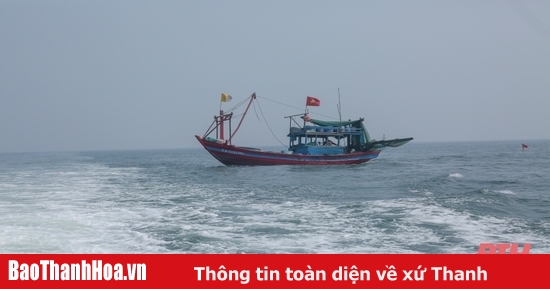
The Meteorological Agency warns that due to the influence of the low pressure area, there will be strong thunderstorms in the Gulf of Tonkin. During the thunderstorms, there is a possibility of tornadoes and strong gusts of wind of level 6-7, affecting ships operating in the Gulf of Tonkin area.
At the same time, moderate rain, heavy rain and strong thunderstorms are likely to occur in the coastal provinces of the Northeast. The rain may be accompanied by phenomena such as tornadoes, lightning, hail and strong gusts of wind.

Regarding the heavy rains "pouring" on the North and Thanh Hoa, the meteorological agency said that last night and today (June 8), in many places in the North, there was heavy to very heavy rain. The rainfall from 7:00 p.m. on June 7 to 3:00 p.m. on June 8 was over 90mm in some places such as: Ta Van (Lao Cai) 101.0mm, La Hien (Thai Nguyen) 92.6mm, Minh Quang (Vinh Phuc) 205.2mm, ...
According to the meteorological agency, from this evening until June 10, the North and Thanh Hoa will experience widespread heavy rain with rainfall from 60-120mm, in some places over 150mm.
In the Central region this evening and tonight, there will be scattered showers and thunderstorms, locally heavy rain with rainfall of 10-30mm, in some places over 50mm.
The meteorological agency warned that from the night of June 10-13, heavy rain will continue in the North and Thanh Hoa with rainfall ranging from 70-150mm, with some places over 200mm.
In addition, due to the influence of the tropical convergence zone with the southwest monsoon of medium to strong intensity, tonight (June 8) and tomorrow, in the sea area from Binh Thuan to Ca Mau, Ca Mau to Kien Giang, the Gulf of Thailand and the East Sea (including the sea area of Hoang Sa and Truong Sa archipelagos) there will be showers and strong thunderstorms. During the thunderstorms, there is a possibility of tornadoes and strong gusts of wind of level 6-7.
Tonight and tomorrow, in the sea area from Binh Thuan to Ca Mau, there will be strong southwest winds of level 5, sometimes level 6, gusting to level 7; waves 2-3m high; rough seas.
Due to the influence of the southwest monsoon, the Central Highlands and the South will continue to have rain, this afternoon and evening, rainfall of 10-30mm, some places over 50mm. From June 9-12, this area will have rain of 40-80mm, some places over 120mm. Rain will be concentrated in the afternoon and evening.
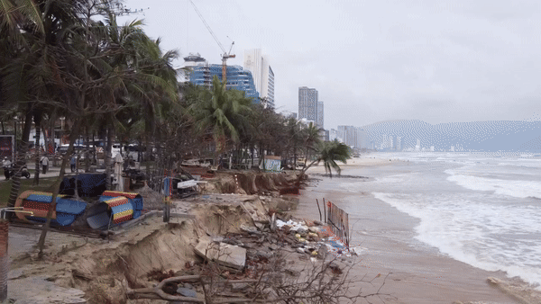
Due to the impact of heavy rain, people need to be on guard against the risk of flash floods, landslides in mountainous areas and flooding in low-lying areas. During thunderstorms, there is a possibility of tornadoes, lightning, hail and strong gusts of wind.
Proactively respond to natural disasters
On June 8, the Standing Office of the National Steering Committee for Natural Disaster Prevention and Control issued an official dispatch on proactively responding to low pressure areas that could strengthen into tropical depressions.
Accordingly, the Office requested the Border Guard Command, the Steering Committee for Natural Disaster Prevention and Search and Rescue of coastal provinces and cities from Quang Ninh to Quang Binh and relevant agencies and units to closely monitor information and developments of this low pressure area.
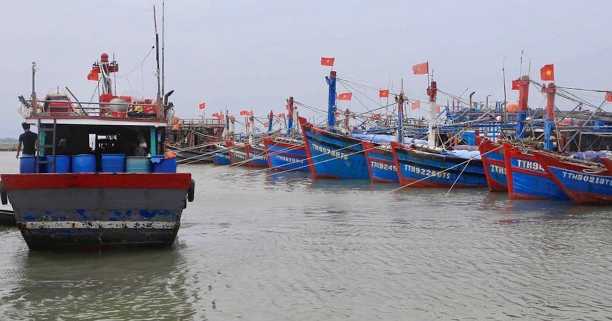
Organize the counting of vessels operating in the Gulf of Tonkin, strictly manage the means of going out to sea, notify the owners of the vessels, captains of the vessels and boats operating at sea of the location, direction of movement and developments of the low pressure area to proactively prevent and adjust production plans accordingly. Prepare forces and means to deploy rescue work when there is a situation.
Source


Comment (0)