Storm Tra Mi has increased to level 11, gusting to level 14 and is entering our country's waters.
Báo Dân trí•26/10/2024
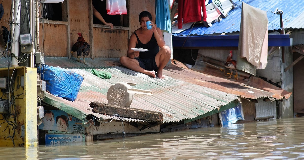
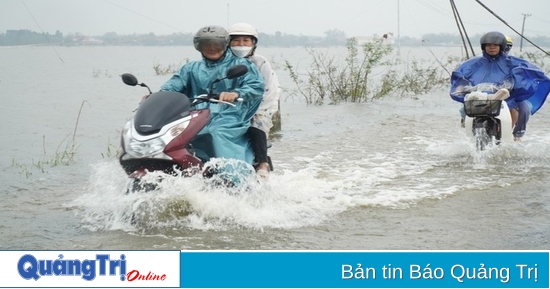
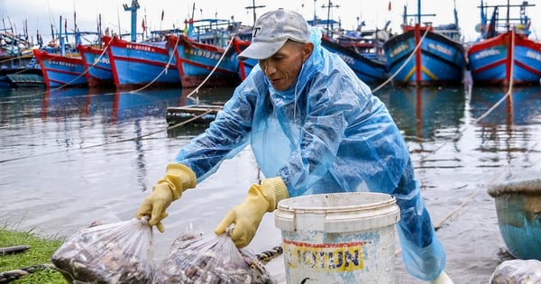
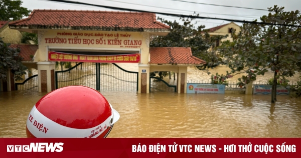
(Dan Tri) - The development of storm Tra Mi is still very complicated and may change. The storm has now strengthened and is heading towards the sea areas of the Central provinces.
According to the National Center for Hydro-Meteorological Forecasting, at 6:00 a.m. on October 26, the center of storm Tra Mi (storm No. 6) was about 170 km from Hoang Sa archipelago. The strongest wind was level 11 (103-117 km/h), gusting to level 14. In the next 3 hours, the storm is forecast to move west, at a speed of about 20-25 km/h. According to the hydro-meteorological agency, in the next 24 hours, storm Tra Mi will move quickly in a west-southwest direction at a speed of about 20 km/h. At 4:00 a.m. on October 27, the center of the storm was in the sea off the Central Central Coast, about 200 km east-northeast of Quang Tri - Quang Nam. The strongest wind near the center of the storm was level 11, gusting to level 14.
Storm Tra Mi has strengthened and is approaching the Hoang Sa archipelago (Photo: Disaster monitoring system).
In the next 24 to 48 hours, the storm will move in a West-Southwest direction towards the coastal waters of the Central Central provinces, then change direction to move in an East-Southeast direction. At 4:00 a.m. on October 28, the storm center will be over the coastal waters of the Central Central provinces, with a storm intensity of level 9, gusting to level 11. In the next 48 to 72 hours, the storm will move mainly in an East direction (towards the sea) and its intensity will continue to weaken. At 4:00 a.m. on October 29, the storm center will be over the coastal waters of the Central Central provinces, with the strongest winds near the storm center at level 8, gusting to level 10. The storm will then move mainly in an East direction, traveling about 10km per hour, with its intensity continuing to weaken. Due to the impact of the storm, the North East Sea will have strong winds of level 8-9, near the eye of the storm will have winds of level 10-11 (89-117km/h), gusts of level 14, waves of 5-7m high, near the eye of the storm will have waves of 7-9m high, and the sea will be very rough. From the night of October 26, the sea areas of the provinces from Quang Binh to Quang Ngai (including Con Co, Cu Lao Cham, and Ly Son islands) will have winds of level 6-7, then increase to level 8-9, near the eye of the storm will have winds of level 10-11, gusts of level 14, waves of 3-5m high; near the eye of the storm will have waves of 5-7m high, and the sea will be very rough. From the morning of October 27, the coastal areas of the provinces from Quang Tri to Quang Nam are likely to have storm surges of 0.4-0.6m high. Ships/boats operating in the above-mentioned dangerous areas (especially in the Hoang Sa island district), coastal areas from Quang Binh to Quang Ngai are likely to be affected by storms, whirlwinds, strong winds, and big waves. There is a high risk of landslides of sea dykes and embankments along the coast of the provinces from Quang Tri to Quang Nam due to the impact of big waves and storm surges. On land from the morning of October 27, the coast from Quang Binh to Quang Ngai will have winds gradually increasing to level 6-7, near the storm center level 8-9, gusting to level 11. From the evening and night of October 26, the area from Quang Tri to Quang Ngai will have heavy to very heavy rain with total rainfall of 300-500mm, locally over 700mm. Warning of the risk of localized heavy rain over 100mm in 3 hours. Ha Tinh - Quang Binh, Binh Dinh and the Northern Central Highlands will have heavy rain, locally very heavy rain with total rainfall of 100-200mm, some places over 300mm. The forecast for the development of storm Tra Mi is still very complicated and subject to change.


![[Photo] Prime Minister Pham Minh Chinh meets with King Philippe of Belgium](https://vstatic.vietnam.vn/vietnam/resource/IMAGE/2025/4/1/be2f9ad3b17843b9b8f8dee6f2d227e7)
![[Photo] General Secretary To Lam receives King Philippe of Belgium](https://vstatic.vietnam.vn/vietnam/resource/IMAGE/2025/4/1/e5963137a0c9428dabb93bdb34b86d7c)
![[Photo] Close-up of Vietnam's sniffer dog team searching for earthquake victims in Myanmar](https://vstatic.vietnam.vn/vietnam/resource/IMAGE/2025/4/1/d4949a0510ba40af93a15359b5450df2)
![[Photo] President Luong Cuong and King Philippe of Belgium visit Thang Long Imperial Citadel](https://vstatic.vietnam.vn/vietnam/resource/IMAGE/2025/4/1/cb080a6652f84a1291edc3d2ee50f631)


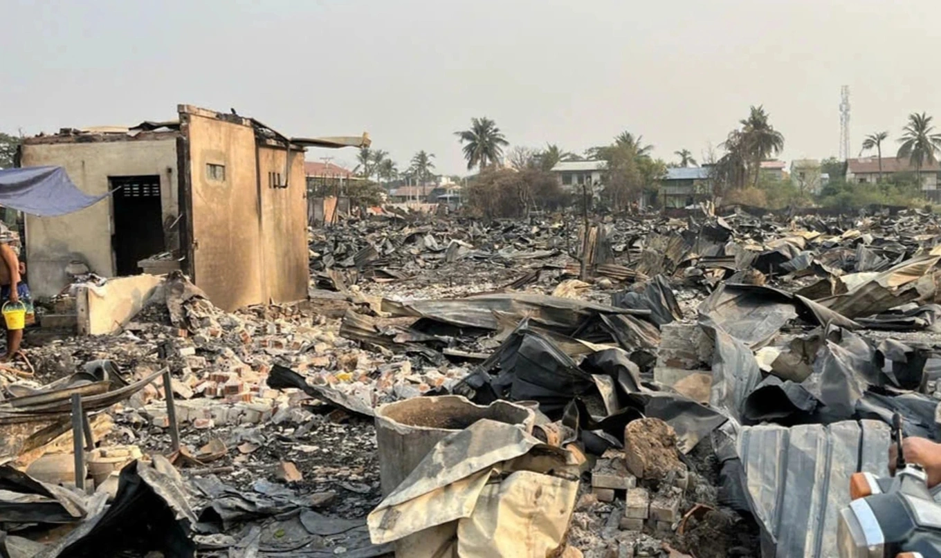


![[Photo] Myanmar's capital in disarray after the great earthquake](https://vstatic.vietnam.vn/vietnam/resource/IMAGE/2025/4/1/7719e43b61ba40f3ac17f5c3c1f03720)


Comment (0)