
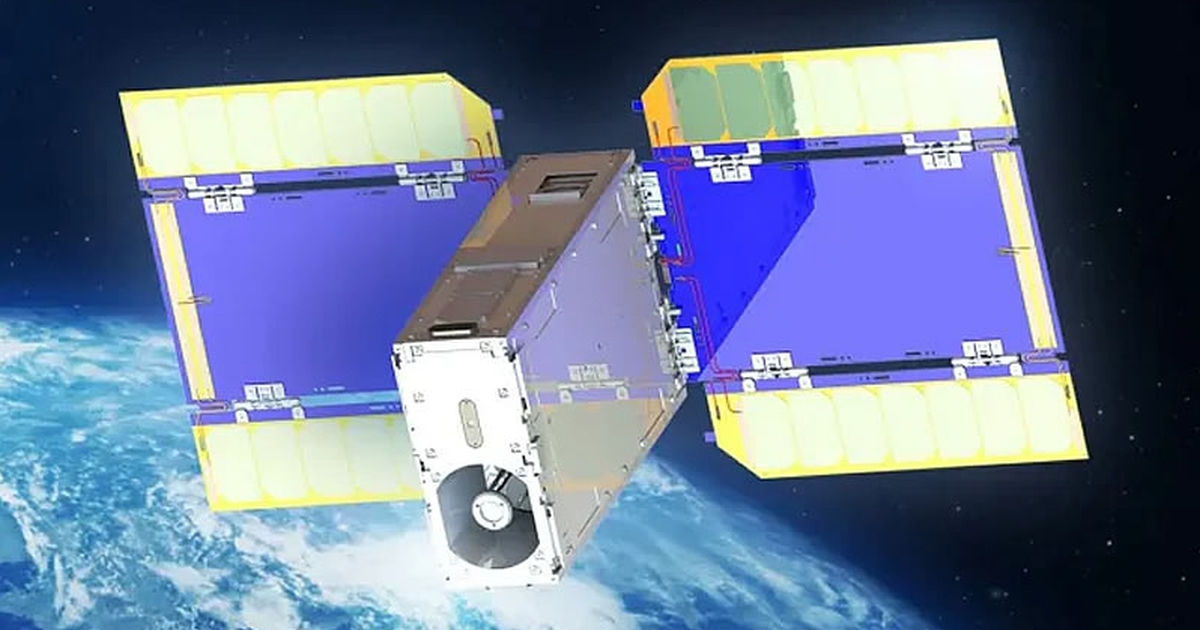
ArkEdge Space’s ONGLAISAT satellite, co-developed with Taiwan’s TASA space agency, took the images from an altitude of 410 kilometers above the Earth’s surface. The satellite is equipped with TASA’s Korsch off-axis optical system, along with a TDI CMOS image sensor and image compression hardware. All of this is packed into a 6U package, about the size of a desktop or suitcase.

ArkEdge Space's ONGLAISAT satellite
ArkEdge Space has released zoomed-in black-and-white images showing highly detailed buildings and streets near Seattle and in the Patagonian region of Argentina. The company claims it has achieved the “world’s highest ground resolution” in the CubeSat category, with a resolution of 2.5 to 3 meters.
Purpose of ONGLAISAT satellite
ONGLAISAT 's mission is scheduled to end next March before its optical technology is applied to future missions. "The images are as clear as aerial photographs, despite being taken by such a small satellite," said ArkEdge Space CEO Takayoshi Fukuyo.

Black and white photo taken from ONGLAISAT satellite
The main objectives of the ONGLAISAT mission were to test the optical system in space conditions, verify the altitude control system developed by the University of Tokyo (Japan), and validate the TDI technology and image processing procedures. All the objectives were successfully achieved.
It is known that the ONGLAISAT satellite was delivered to the International Space Station (ISS) in November 2024 and deployed from the Japanese experimental module "Kibo" on December 10, 2024.
Source: https://thanhnien.vn/ve-tinh-nhat-ban-chi-bang-vali-chup-anh-trai-dat-do-phan-giai-25-met-185250209065057626.htm


Comment (0)