
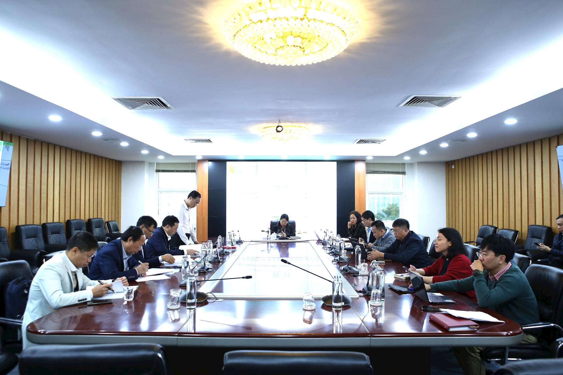
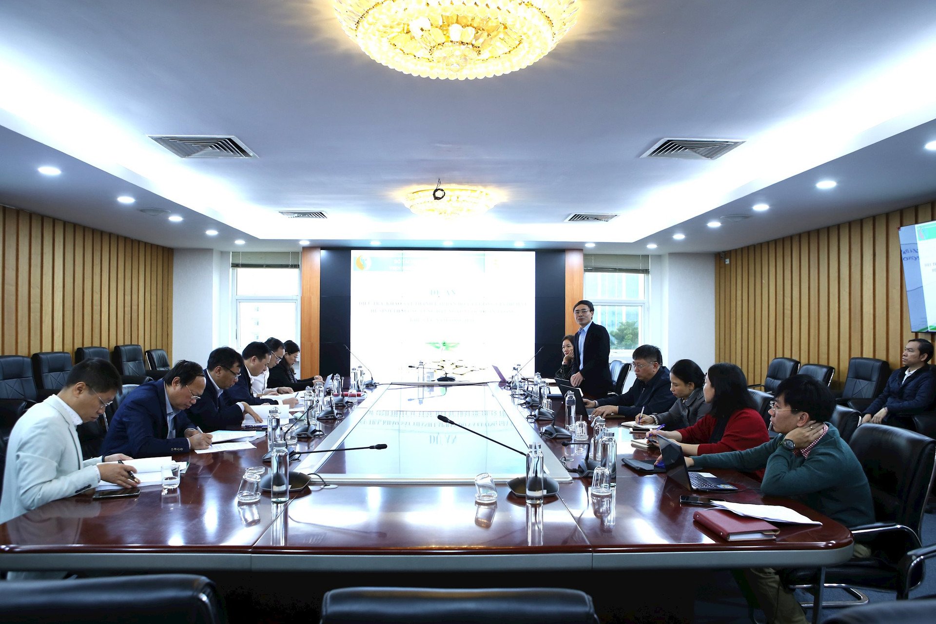
Attending the meeting were leaders of the Institute of Geodesy and Cartography, representatives of the Department of Nature Conservation and Biodiversity; Council members are experts, scientists, and managers in the field of geodesy and cartography and biodiversity.
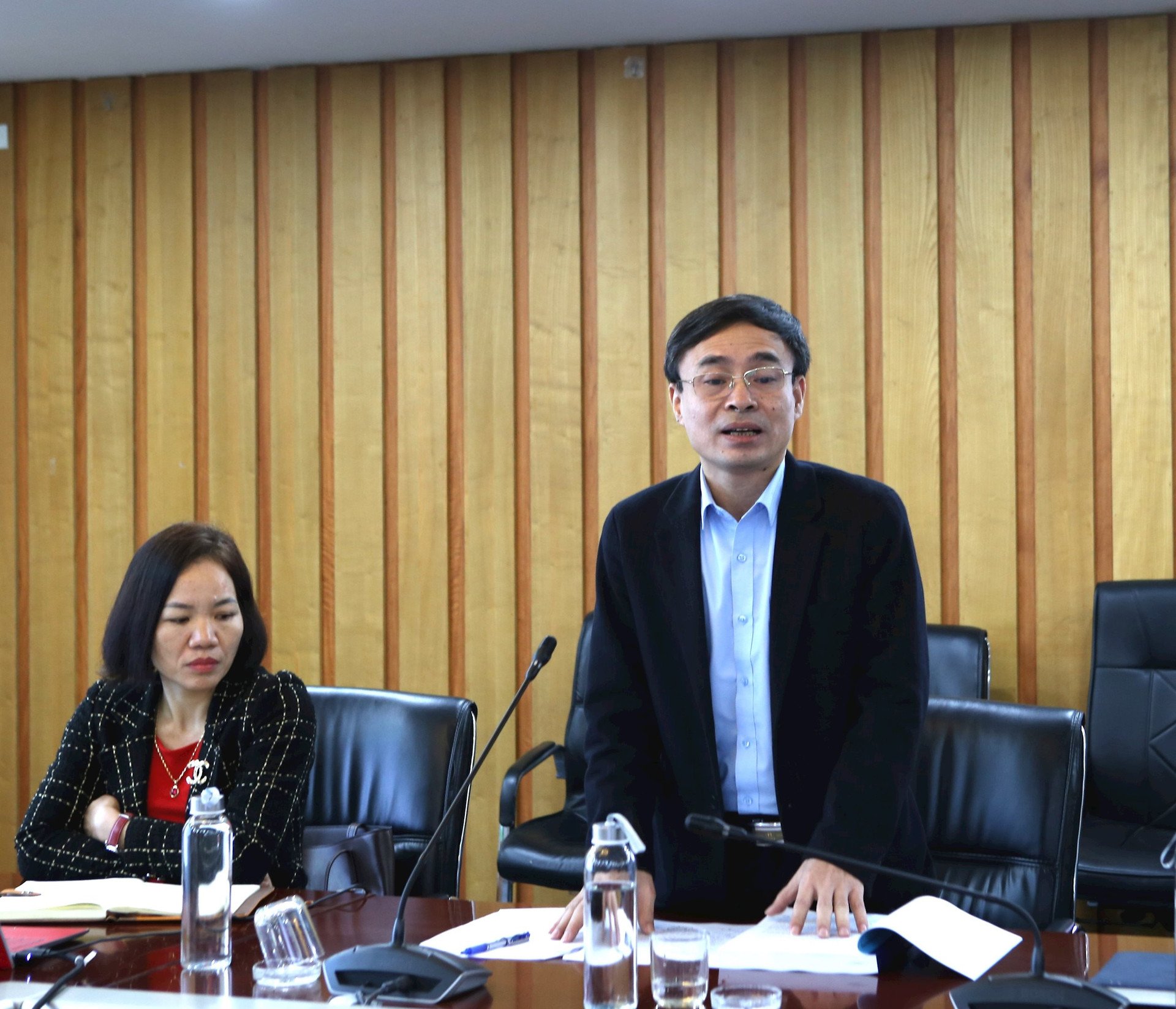
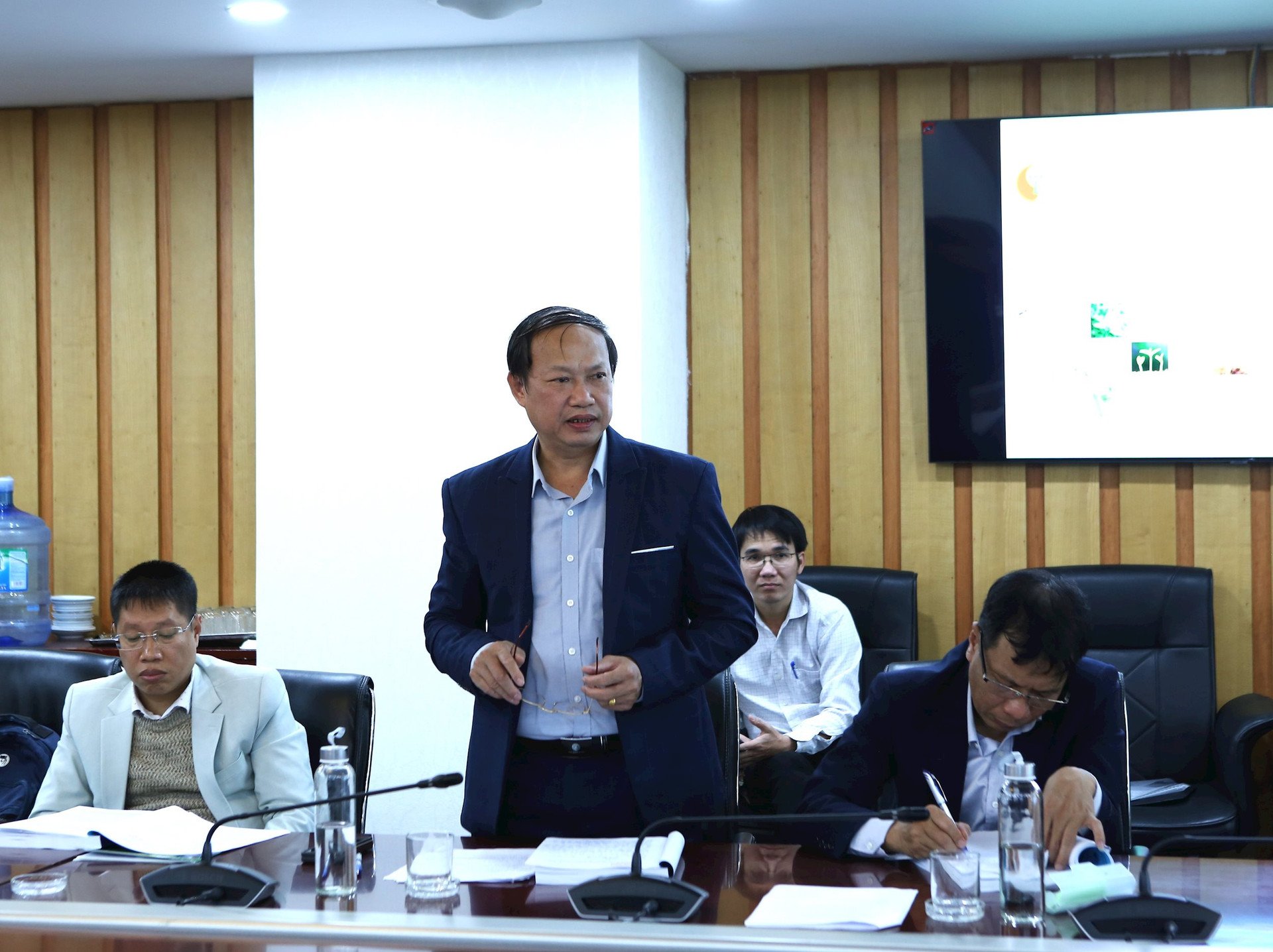
Reporting at the meeting, Mr. Nguyen Phi Son, Director of the Institute of Geodesy and Cartography, said that, based on the practical need to conserve, exploit and rationally use wetland resources to contribute to meeting the goal of rapid and sustainable development of the country, the Institute of Geodesy and Cartography and the Department of Nature Conservation and Biodiversity coordinated to implement the project "Investigation, survey, establishment of maps and valuation of ecosystem services of important wetlands in the South Hau River region". The project is expected to contribute to the synchronous and unified management of methods, techniques and processes in the investigation, assessment and valuation of ecosystem services in important wetlands in the South Hau River region in particular and in the whole country in general, through the use of survey and mapping data.
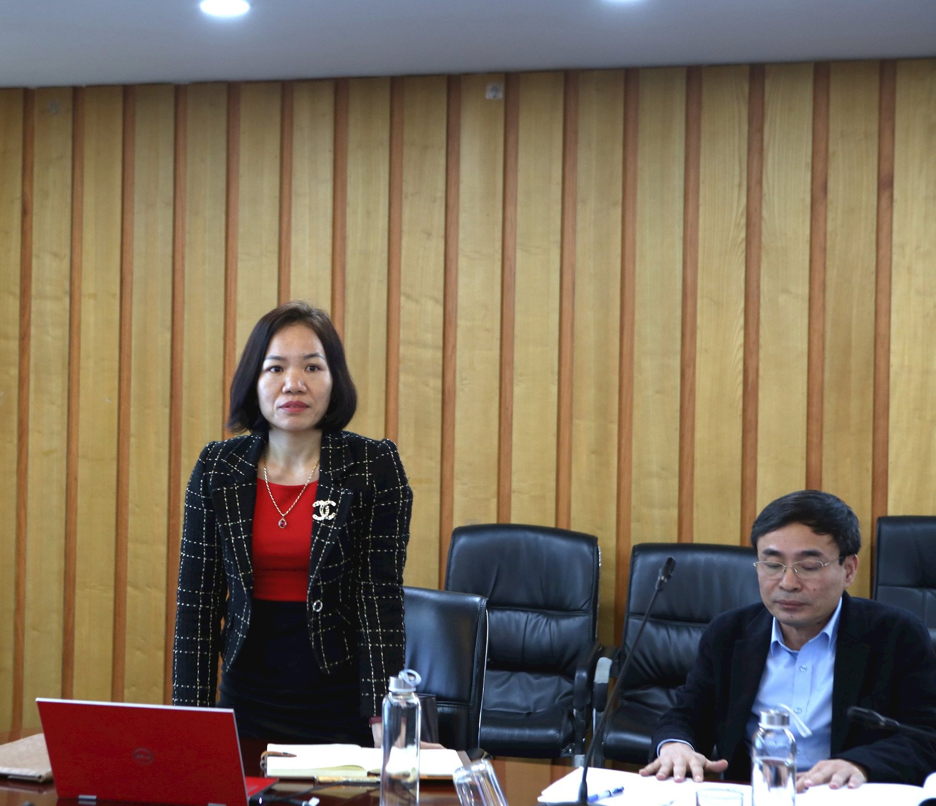
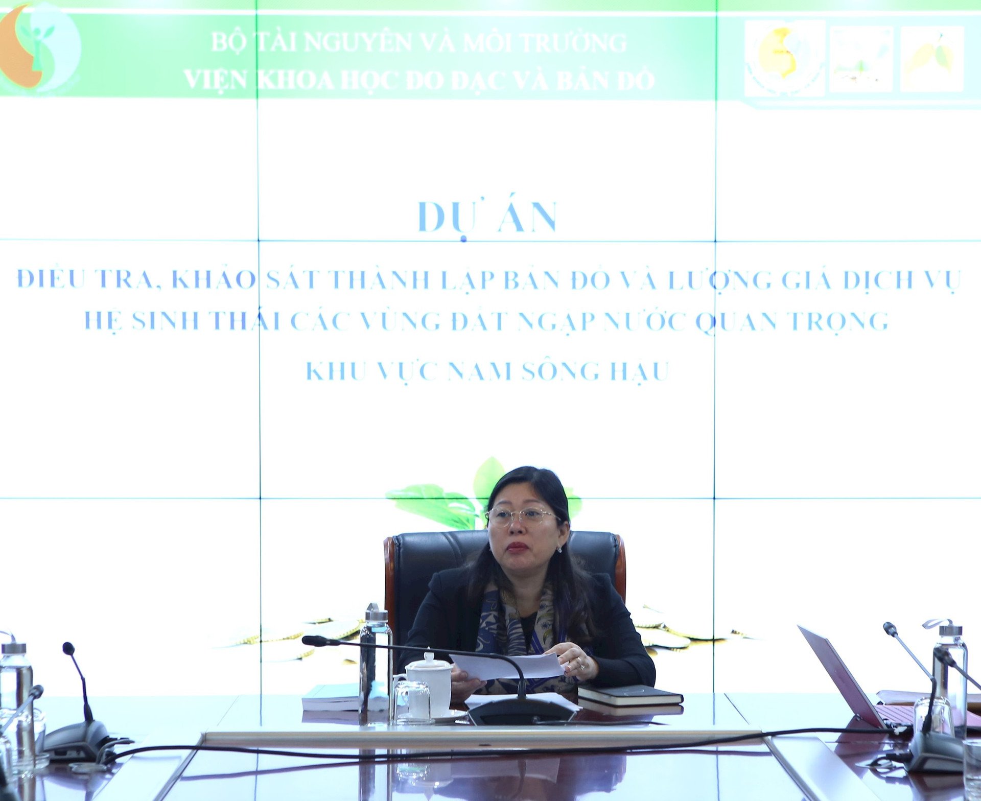
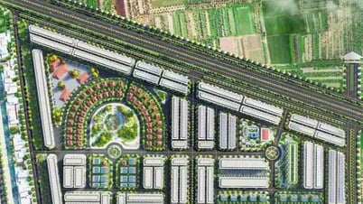
Introducing the main tasks of the Project, Ms. Nguyen Thi Hoai, Director of the Center for Implementation of Surveying and Mapping Technology, Institute of Surveying and Mapping Science, said that the Project "Investigation, survey, mapping and valuation of ecosystem services of important wetlands in the South Hau River area" is carried out in the South Hau River area in the Southwest of the Mekong Delta, including the provinces of Soc Trang, Hau Giang, Bac Lieu, Ca Mau, Kien Giang and An Giang from January 2024 to the end of 2026.
The project includes 8 main contents: Determining the scope of the area to conduct the assessment of the value of important wetland ecosystem services; Determining the ecosystem services of wetlands; Selecting methods, processes and indicators for assessing the value, investigating and surveying, collecting data sources and figures on ecosystems, biodiversity, natural conditions, socio -economics , environment, and establishing thematic maps showing the value of natural ecosystem services of important areas of the country.
Adjust the database model design, integrate wetland ecosystem service valuation information into the national biodiversity database and develop VOWES software - supporting the management of wetland ecosystem service valuation information; Calculate the value of wetland ecosystem services for 10 important wetland areas.
Develop technical guidelines for assessing the value of natural ecosystem services in important wetlands, propose application to the South Hau River region and nationwide; develop draft economic and technical norms for investigation, survey, data collection and processing, calculation of the value of important wetland ecosystem services and develop a project summary report.
At the meeting, members emphasized the urgency of implementing the project and said that the project's content and solutions provided a full legal basis as well as scientific and practical methodology, which has been successfully applied in many developed countries; ...
In addition, members of the Appraisal Council contributed their opinions to improve the content and products of the project. The focus was on selecting the most appropriate mapping technology solutions to serve the investigation, construction, and analysis of data to evaluate wetland ecosystem services; assess the impact of development policies on the current state of the ecosystem and human welfare; develop a data set on biodiversity, natural resources, socio-economics and environment to maintain and periodically update the model for evaluating the value of ecosystem services in important wetlands;…. The Council also unanimously approved the project after the implementing unit received and edited the comments of the Council members before submitting it for approval.
Concluding the meeting, Deputy Minister Nguyen Thi Phuong Hoa, Chairwoman of the Council, highly appreciated the enthusiastic and practical contributions of the Council members, and requested the Institute of Geodesy and Cartography - the unit in charge of implementing the project to coordinate with the Department of Nature Conservation and Biodiversity to absorb the comments at the meeting, proactively discuss to agree on the contents that need to be edited and supplemented to complete the Project on schedule, ensuring the best quality.
The Deputy Minister also requested that the project implementing unit review the objectives, contents and solutions of the Project in addition to ensuring the "real" cost-effectiveness of a project; supplement the content, research, consider and complete legal documents, national technical regulations, and related technical and economic norms to ensure compliance with the development of science and technology, tools and methods of creating and using data...
Source


![[Photo] Prime Minister Pham Minh Chinh and Prime Minister of the Kingdom of Thailand Paetongtarn Shinawatra attend the Vietnam-Thailand Business Forum 2025](https://vphoto.vietnam.vn/thumb/1200x675/vietnam/resource/IMAGE/2025/5/16/1cdfce54d25c48a68ae6fb9204f2171a)


![[Photo] President Luong Cuong receives Prime Minister of the Kingdom of Thailand Paetongtarn Shinawatra](https://vphoto.vietnam.vn/thumb/1200x675/vietnam/resource/IMAGE/2025/5/16/52c73b27198a4e12bd6a903d1c218846)


Comment (0)