
La Nina is active and is likely to last for the next 3 months. Weather phenomena such as cold air, hot weather, storms, etc. in 2025 are forecasted to have many unpredictable developments.
Dr. Hoang Phuc Lam, Deputy Director of the National Center for Hydro-Meteorological Forecasting, has just made comments on climate trends from January to December 2025 nationwide.
Accordingly, currently, the ENSO phenomenon is in La Nina conditions, with the sea surface temperature standard deviation in the central equatorial Pacific Ocean at -0.7 degrees lower than the multi-year average (TBNN) in the first week of January 2025.
It is forecasted that La Nina conditions will remain in place for the next 3 months (February-April 2025) with a probability of around 55-65%. After that, ENSO is likely to gradually return to neutral conditions with a probability of 55-65% from the 3-month moving average period (March-May 2025) and will likely remain neutral for the remaining months of 2025.
Given the above trend, extreme weather events are likely to occur with many unpredictable developments.
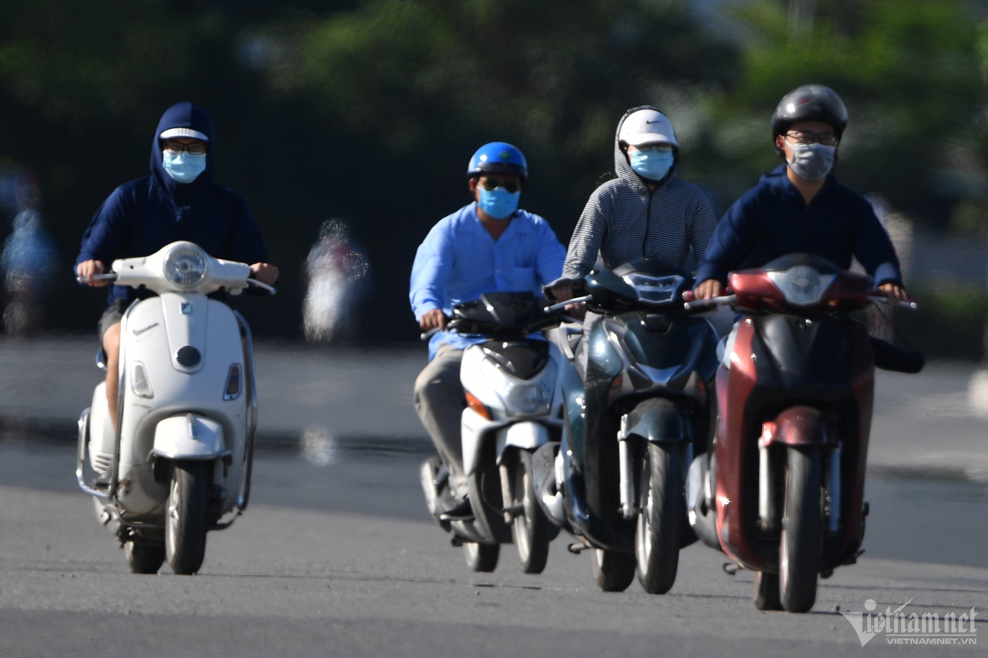
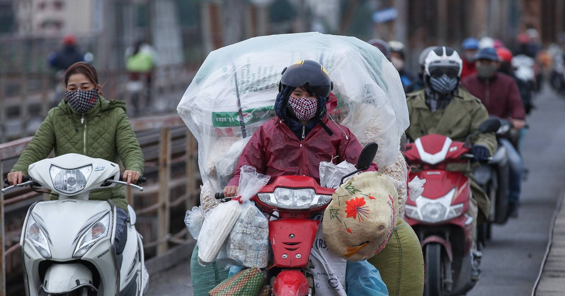
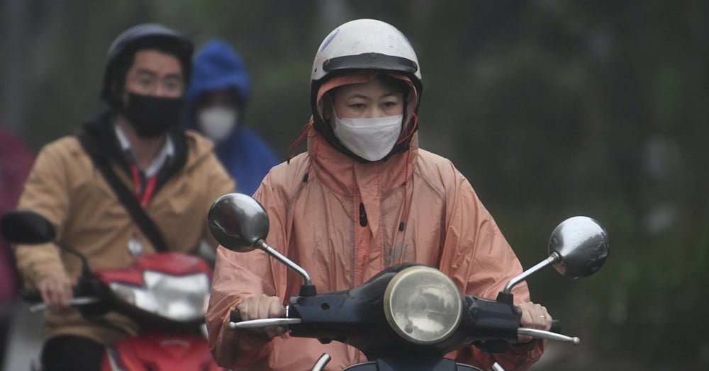
In particular, from January to June 2025, cold air (CAF) continues to be active in January and February, causing severe cold. It is necessary to be on guard against the possibility of frost and frost in high mountainous areas; from March, the intensity of CAF gradually weakens.

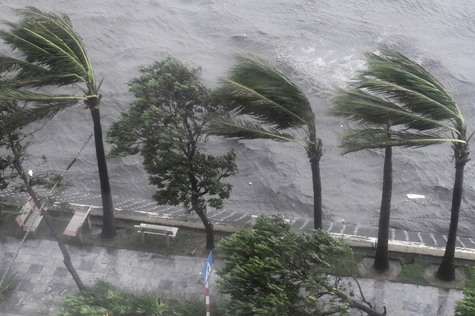
Regarding storms/tropical depressions, from January to April, there is little possibility of activity in the East Sea and affecting our country (at a level approximately equal to the average: in the East Sea: 0.4 storms, making landfall: 0 storms).
From May to June, this pattern is also at the same level as the average (average in the East Sea: 1.6 storms, making landfall: 0.3 storms).
Hotter than usual
Regarding heat waves, from February to April, the possibility of occurrence across the country is approximately average (concentrated in the Northwest, Central and Southern regions).
Mr. Lam commented that during this period, the heat wave intensity is likely to be less severe and less prolonged than in 2024.
However, in May and June, the heat wave in the North will gradually spread to the East, and the Central region is likely to maintain many hot days during this period. The heat wave and severe heat wave in 2025 across the country is likely to be higher than the average, so be prepared for severe heat waves and especially severe heat waves in the Northern and Central provinces.
In the Southern and Central Highlands regions, in May, heat waves continue to occur (gradually decreasing from the second half of May) and are likely to end in June.
During this 6-month period, the average temperature is also forecast to be approximately the same as the average temperature for the same period; in April, the Northern and North Central regions will be 0.5-1 degree higher.
In a further forecast (July-December 2025), Mr. Hoang Phuc Lam said that the number of storms/tropical depressions operating in the East Sea and affecting the mainland is likely to be approximately the same as the average (concentrated in the second half of the rainy and stormy season). In particular, from July to September, storms/tropical depressions mainly affect the northern provinces and from September to December, storms/tropical depressions mainly affect the central provinces and the southern region.
From July to September, heat waves continue to occur in the Northern and Central regions, with heat waves more likely to occur than the average for the same period.
The meteorological agency warns that in the second half of 2025, beware of strong winds and large waves at sea due to the impact of storms/tropical low pressure and the southwest monsoon in the Central and Southern East Sea, and KKL from October to December in the East Sea. In addition, thunderstorms, tornadoes, lightning, and hail have a negative impact on agricultural production and people's lives in affected areas.
Previously, in his 2024 climate assessment, Mr. Lam said that the East Sea will see 10 storms and 1 tropical depression. Of which, storm No. 3 Yagi is considered the strongest in the past 30 years, causing heavy damage to people and property. At the same time, many extreme weather patterns such as heat waves and cold air have broken temperature records.
SEE MORE :
Source: https://vietnamnet.vn/dien-bien-nhung-hinh-thai-thoi-tiet-dang-luu-y-tren-ca-nuoc-nam-2025-2363885.html


Comment (0)