
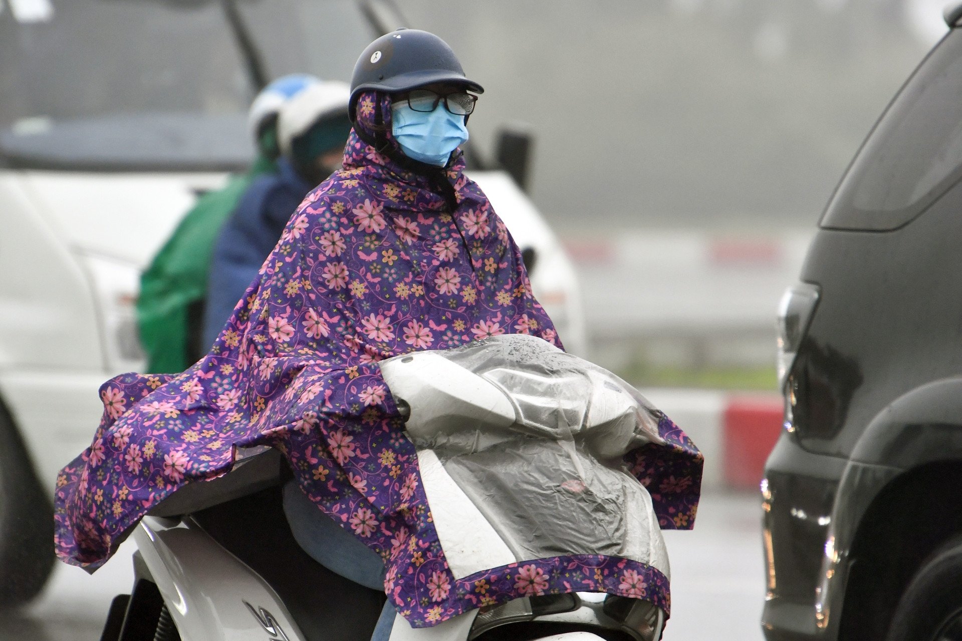
Since early morning on February 23, cold air has begun to flow in, causing the North to turn very cold, with the lowest temperature dropping to 11 degrees Celsius, and in some places below 7 degrees Celsius. It is forecasted that from now until the end of the month, many places across the country will have rain.
According to the National Center for Hydro-Meteorological Forecasting, currently (February 21), a cold air mass is moving south from the North.
Around the morning of February 23, this cold air mass will affect the Northeast region, then the North Central region, the Northwest region and the Central Central region. The Northeast wind inland is strong at level 3-4, coastal areas at level 4-5, with gusts of level 6 in some places.
In the North from the night of February 23, the weather will be very cold, with some mountainous areas experiencing severe cold; in the North Central region, the weather will be very cold, with some northern areas experiencing severe cold. The lowest temperature during this cold spell in the North will generally be between 11-14 degrees Celsius, with some mountainous areas experiencing below 7 degrees Celsius; in the North Central region, 13-17 degrees Celsius; and in the Central Central region, 17-20 degrees Celsius.

Hanoi area from the night of February 23rd has been very cold. The lowest temperature in this cold air mass is commonly 12-14 degrees.
Due to the influence of cold air strengthening from the East combined with strong currents in the upper westerly wind zone on February 23-24, the Northern and North Central regions will have rain, light rain.
Before the cold air arrives, from tonight to tomorrow (February 22), the Northern region and Thanh Hoa will continue to have light rain, drizzle and fog, and humidity. From February 23, the cold air will return, causing rain and light rain in the area, and the humidity will gradually decrease.
In the Northwest region, from tonight to February 23, there will be scattered showers and thunderstorms in some places. Lai Chau and Dien Bien will have scattered showers and thunderstorms at night. It will be cold, with some mountainous areas experiencing severe cold.
From Nghe An to Khanh Hoa, there will be scattered showers tonight and tomorrow; from February 22, in the South, there will be some places with moderate to heavy rain. In the North, it will be cold.
On the night of February 22-23, the above areas will have rain and showers; from Da Nang to Khanh Hoa, there will be moderate rain, locally heavy rain and thunderstorms.
Areas from Ninh Thuan to the South and Central Highlands these days have scattered showers and thunderstorms, sunny days, but the South Central Highlands and the South have scattered showers and thunderstorms, locally with moderate to heavy rain.
Further assessment, the meteorological agency said the weather from the night of February 23 to March 3. Specifically, the North from the night of February 23-24 will have scattered rain and light rain; from the night of February 24 to the morning of February 26, there will be scattered showers and thunderstorms, locally heavy rain; later there will be rain in some places, early morning there will be scattered fog and light fog, from around February 28, the afternoon will be sunny; cold weather.
Notably, from around the night of February 23-25, the North is likely to experience severe cold, with some mountainous areas experiencing severe cold; from around February 27, the night and early morning will be cold.
From the night of February 23-24, the North Central region will have scattered rain; from February 25-26, there will be scattered showers and thunderstorms; then there will be rain in some places, early morning there will be scattered fog and light fog, sunny in the afternoon. From around the night of February 23-25, it will be cold, with some places in the North being very cold; after the night, it will be cold.
The Central and South Central regions from the night of February 23-25 will have moderate rain, locally heavy rain and thunderstorms.
The Central Highlands and the South will have scattered showers and thunderstorms, with scattered showers and thunderstorms in the South on the night of February 23. Thunderstorms may include tornadoes, lightning, hail, and strong gusts of wind.
Weather at sea From February 23, in the Gulf of Tonkin, the Northeast wind gradually increased to level 6, sometimes level 7, gusting to level 8-9, rough seas, waves 2-3.5m high; in the North East Sea (including the waters of Hoang Sa archipelago), the Northeast wind gradually increased to level 6, sometimes level 7, gusting to level 8-9, from early morning of February 24, gradually increased to level 7, gusting to level 9, rough seas, waves 4-6m high. From the night of February 23, the sea area from Quang Tri to Khanh Hoa has strong northeast winds of level 6, gusting to level 7-8; waves are 3-5m high, especially from Binh Dinh to Khanh Hoa 2-3.5m. |
Weather forecast for the next 10 days: Welcoming strong cold air, the North will have severe cold

Continuous drizzle in the North, possibility of strong cold air at the weekend
Source: https://vietnamnet.vn/khong-khi-lanh-manh-lai-tran-ve-mien-bac-ret-dam-kem-mua-lien-tiep-2373700.html


![[Photo] Prime Minister Pham Minh Chinh and Prime Minister of the Kingdom of Thailand Paetongtarn Shinawatra attend the Vietnam-Thailand Business Forum 2025](https://vphoto.vietnam.vn/thumb/1200x675/vietnam/resource/IMAGE/2025/5/16/1cdfce54d25c48a68ae6fb9204f2171a)
![[Photo] General Secretary To Lam receives Prime Minister of the Kingdom of Thailand Paetongtarn Shinawatra](https://vphoto.vietnam.vn/thumb/1200x675/vietnam/resource/IMAGE/2025/5/16/7f6a2a37f9324e61b3088c464cbc7b16)
![[Photo] President Luong Cuong receives Prime Minister of the Kingdom of Thailand Paetongtarn Shinawatra](https://vphoto.vietnam.vn/thumb/1200x675/vietnam/resource/IMAGE/2025/5/16/52c73b27198a4e12bd6a903d1c218846)


![[Photo] The Prime Ministers of Vietnam and Thailand witnessed the signing ceremony of cooperation and exchange of documents.](https://vphoto.vietnam.vn/thumb/1200x675/vietnam/resource/IMAGE/2025/5/16/935407e225f640f9ac97b85d3359c1a5)


Comment (0)