

Harvesting rice in the fields of Xom Ruong, Tri Binh.
Rice, everyone has seen, when driving on the old inter-provincial road 13, now DT781 from Ben Soi bridge across Xom Ruong to Chau Thanh town. Except for the last few months of the year, when the flood waters flood the fields; at any other time of the year, the scent of rice is overwhelming. And the color of the fields, sometimes the tender green of young leaves, sometimes the endless golden color of prosperity.
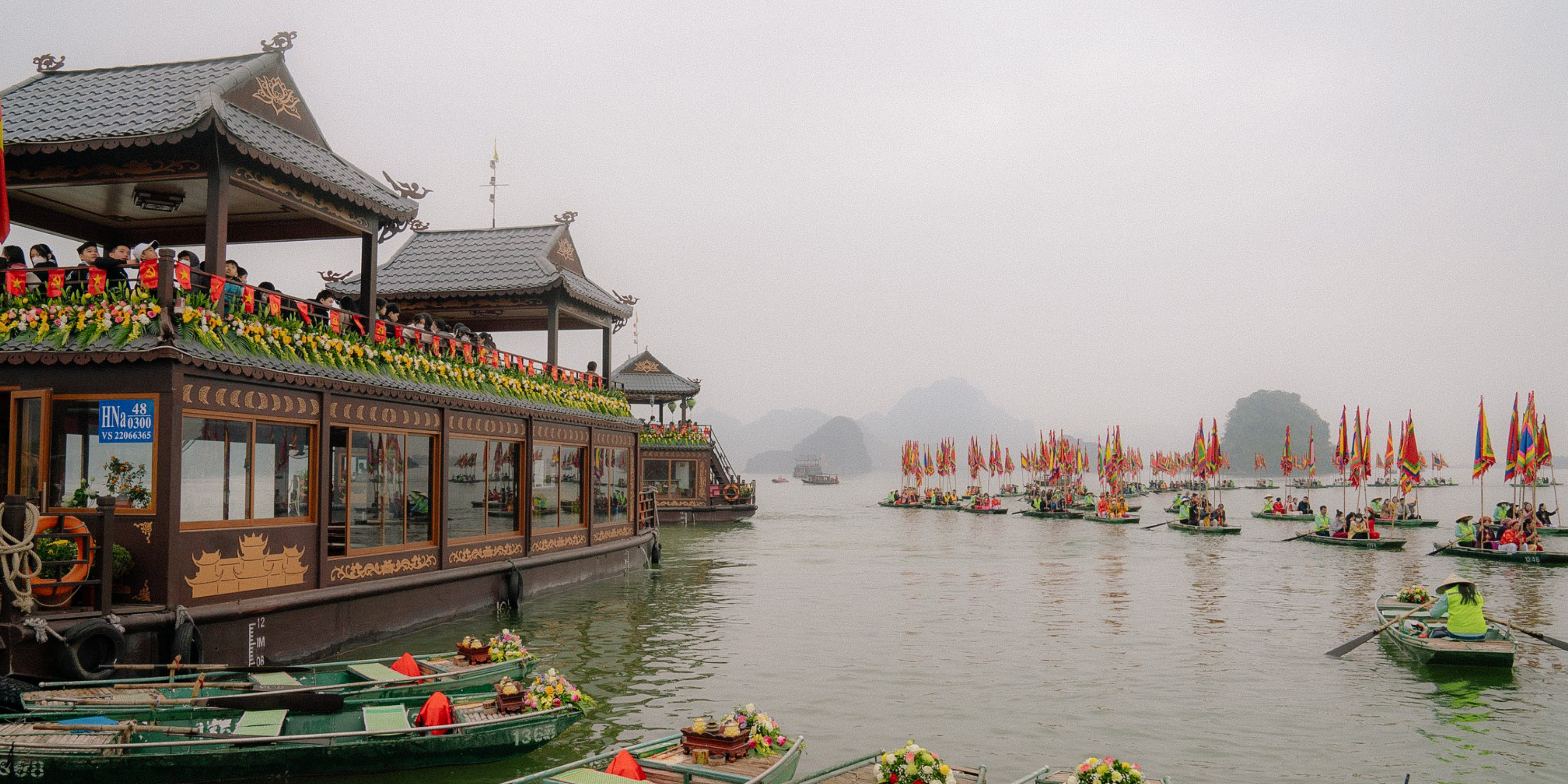
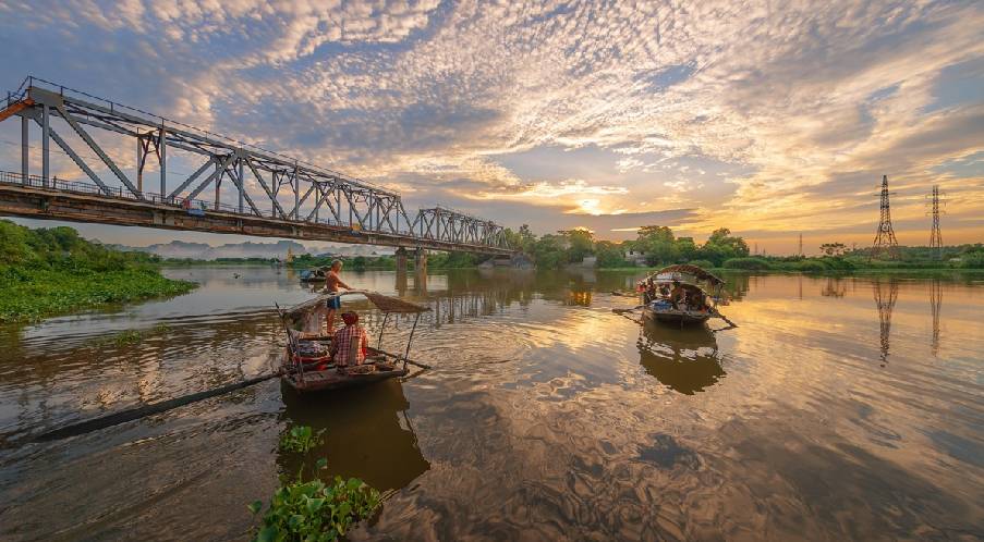
What about “floating”? You will feel this feeling right away when standing on Ben Soi bridge. The reason is that the water of the Dong Vam Co river has two periods of time when the water flows in opposite directions. Morning: - usually high tide, the water flows upstream. Afternoon, the water flows downstream, also known as low tide. So every time you stand on the bridge across the river, you will feel like standing on the deck of a ship cutting through the water, a feeling of floating under your feet. Looking down from above can sometimes make you dizzy.
Whatever, the section of the Vam Co Dong River through Ben Soi - Tam Long must have something special. That's why this area became the center of Hoa Ninh commune since the reign of King Minh Mang. The book "Dictionary of Southern Administrative Place Names" by Nguyen Dinh Tu (National Political Publishing House, 2008) wrote: "The commune belonged to Tan Ninh district, Tay Ninh ward, Gia Dinh province since the 17th year of Minh Mang... From 1930, it belonged to Thai Binh district. From 1942, it was changed to Chau Thanh district. On April 10, 1943, Long Thanh was separated and changed to belong to Ham Ninh Thuong commune of the same district.
On May 24, 1955, Ninh Dien village was merged and separated from Giai Hoa district... So from 1955 until now, basically, the old Hoa Ninh commune is still the main part of Chau Thanh district today. On the right bank of the river are Hoa Hoi and Thanh Long (formerly belonging to Ninh Dien).
On the left bank is Tri Binh commune. This commune also has historical twists. It was once a village established right from the establishment of the district under Tay Ninh prefecture (1836). But during the French colonial period, in 1891, it was dissolved (together with Manh Hoa merged into Hao Duoc).
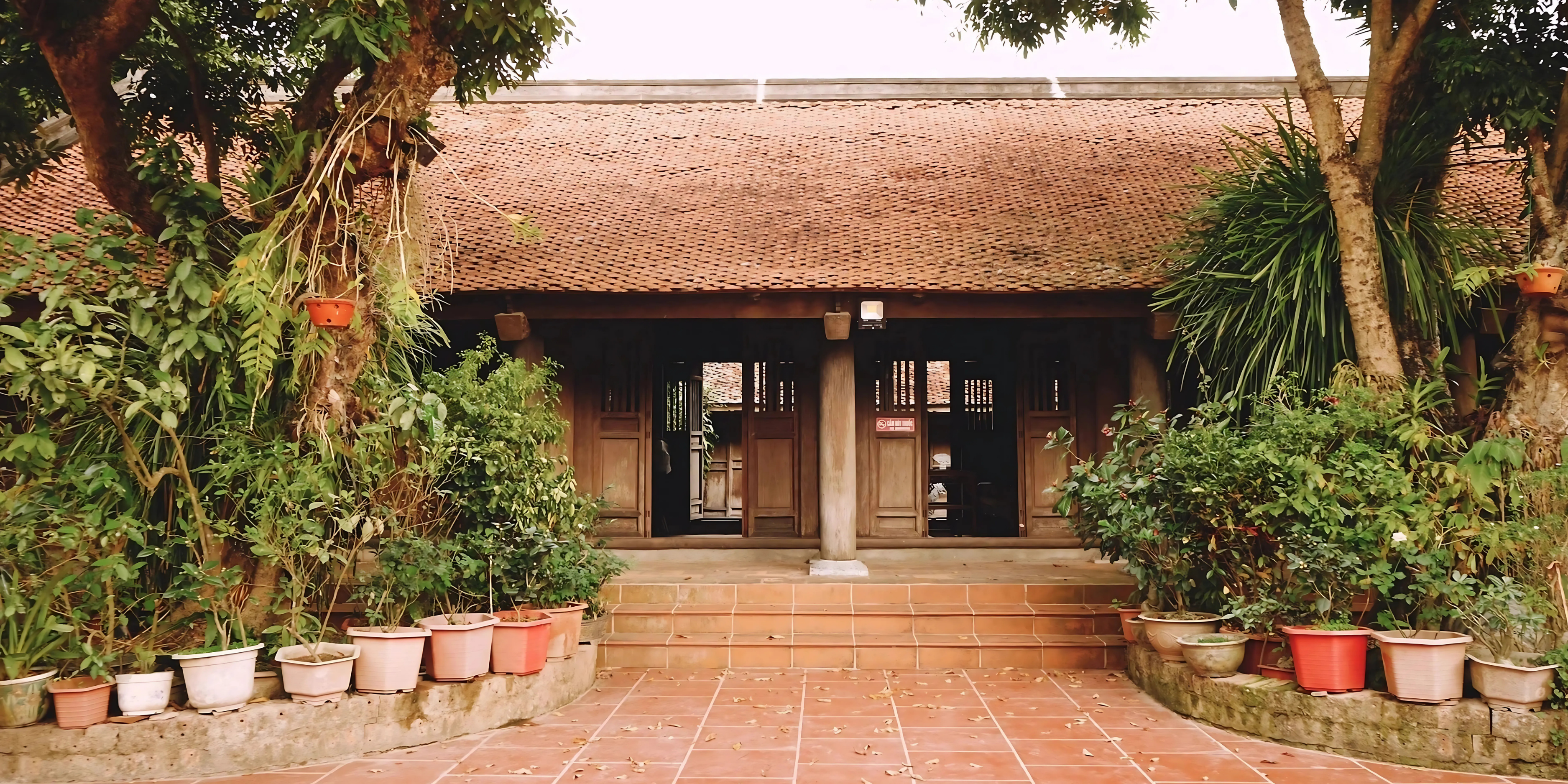
It was not until January 1, 1919 that it was separated again, returning to Tri Binh commune, stretching along the banks of the Vam Co Dong River. Was it because of this twist and turn that the village officials, right after regaining the land and the village name, immediately built Tri Binh communal house, as an affirmation. That from now on, our village: "The land has a god, the river has a river god"!
In fact, the immigrants who came to reclaim and develop villages in Tay Ninh came very early, long before 1836, the year the administrative units were established. Especially in the villages of Hoa Ninh commune and especially the villages along the Vam Co Dong river.
The evidence is that the stories about Tra Vong Mandarin Huynh Cong Gian all record that he and his younger brother Huynh Cong Nghe came to Tay Ninh in 1749, when Huynh Cong Gian was 27 years old (he was born in 1722). His biography states: "Coming to Tra Vong, later part of Thai Binh commune, they established 3 hamlets: Tan Lap, Tan Hoi and Tan Hiep...".
The Nguyen Lords, in the process of expanding and ruling the Southern land, also paid great attention to the Quang Hoa forest area, belonging to Quang Phong Dao, which was established in 1779. Quang Phong Dao is the land of Tay Ninh today, the Dao headquarters is located in Cam Giang village.
Here, the Minh Mang dynasty built a citadel in the 5th year of Minh Mang (1824) and named it Quang Hoa citadel. Therefore, people sometimes called Quang Phong Dao after the name of the citadel, Quang Hoa, and the river flowing in front of the citadel was called Quang Hoa River (today's Dong Co River), according to the book Dai Nam Nhat Thong Chi (National History Institute of the Nguyen Dynasty).
Regarding the interest of the Nguyen Dynasty kings in Quang Hoa forest, Trinh Hoai Duc described in the book Gia Dinh Thanh Thong Chi: "In the west of Quang Hoa district, the hills are overlapping, the forests are continuous, the trees are tall and reach the sky, dense for hundreds of miles, lumberjacks and carpenters set up tents to camp to cut wood or collect otter oil, resin, rattan, water rattan, and also hunt wild animals, the benefits are very large".
This book, in 1820, was presented to King Minh Mang by the mandarin Trinh Hoai Duc. There was a bustling exploitation scene in the Quang Hoa forest, which according to the author's description was "hundreds of miles" long and wide, mainly on the right bank of the Vam Co Dong River.
Author Duong Cong Duc in the book “Tay Ninh by the Southern History” has a section 1 of chapter 5, which collects the events of the Lord and King Nguyen exploiting Quang Hoa forest. Accordingly: “Right from the first years when Lord Nguyen fled to the South, knowing that Quang Hoa land was rich in precious wood for building boats, the Lord sent his officers and soldiers to establish a base for exploitation.
The book Dai Nam Thuc Luc Tien Bien recorded: "In 1778, the captain Tran Van Phuc was sent to Tan Chau district, and Nguyen Duc Huy to Quang Hoa district to build warships for seafaring...". This work, to Lord Nguyen Anh, was probably very important, so he once "ordered Do Thanh Nhon, at that time appointed as Phu Quoc Thuong Tuong Quan, with the title of Phuong Quan Cong, to bring soldiers to Tay Ninh to continue expanding the exploitation of Sao wood and building warships...".
Where to build boats? The book does not say clearly. But perhaps it is best to open construction sites right on the riverside. At this point, we also need to make a hypothesis: - Is the place name Ben Truong a "military training school" according to the previous concept? Or is it a boat building site of Lord Nguyen?
Duong Cong Duc also recorded a very remarkable detail. That is the passage recorded in Dai Nam Thuc Luc Tien Bien. That: "In August, 1800, Gia Dinh had a good harvest and was peaceful. Crown Prince Canh submitted a memorial and said: "Now that the season is off, please capture 10,000 laborers and plantation workers, take three-tenths and entrust them to the Ministry of Public Works Tran Van Thai to take to Quang Hoa to get wood and planks to bring back, build 50 more warships to go to sea, and keep them ready for the army to use. The King thinks it is right...".
The number of people mobilized was very large, compared to the population at that time (in the early 19th century, the population of the South from Binh Thuan to Ca Mau was only under 1 million people - Duong Cong Duc, op. cit.). There is also a detail: "Every time a boat was built, the Moc Dinh team was sent to find and submit it, going up and down the stream was very difficult for human strength. The King ordered buffaloes to be used instead, and issued 3,000 quan of money to buy 300 buffaloes to pull (wood). The people praised it as convenient...".
Now, on the right bank of the river, from Tam Long through Ben Soi to Thanh Dien, there are still places called Rong Trau and Rong Tuong - the paths that buffaloes and elephants used to walk on, sunken into canals, floating with the rising and falling water. And also floating is the story of the ferryman, telling about his 6 hectares of rice on the bank of Xom Ruong in this winter-spring crop, the rice yield is higher than 7 tons per hectare.
Tran Vu
Source link


Comment (0)