
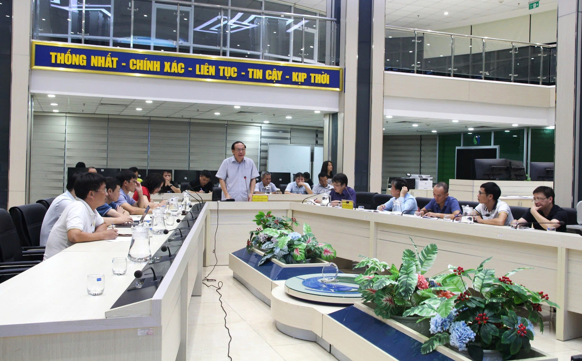
Attending the meeting were Mr. La Duc Dung - Deputy Director General of the General Department of Hydrometeorology; Ms. Pham Thi Thanh Nga - Director of the Institute of Hydrometeorology and Climate Change, leaders of units under the General Department of Hydrometeorology. The meeting was connected online to the regional Hydrometeorological Stations and the provincial Hydrometeorological Stations forecast to be affected by storm No. 3.
Reporting on the development of storm No. 1, Mr. Nguyen Van Huong - Head of Weather Forecast Department (National Center for Hydro-Meteorological Forecasting) said: At 7:00 p.m. on September 3, the center of the storm was at about 18.7 degrees North latitude; 118.5 degrees East longitude, in the eastern sea area of the North East Sea. The strongest wind near the center of the storm is level 10 (89-102 km/h), gusting to level 12, moving in the West Northwest direction, about 10 km/h. Thus, the storm has increased by 2 levels compared to the morning when entering the East Sea. The storm is forecast to reach its peak at level 14, gusting to level 17 in the northern East Sea area.
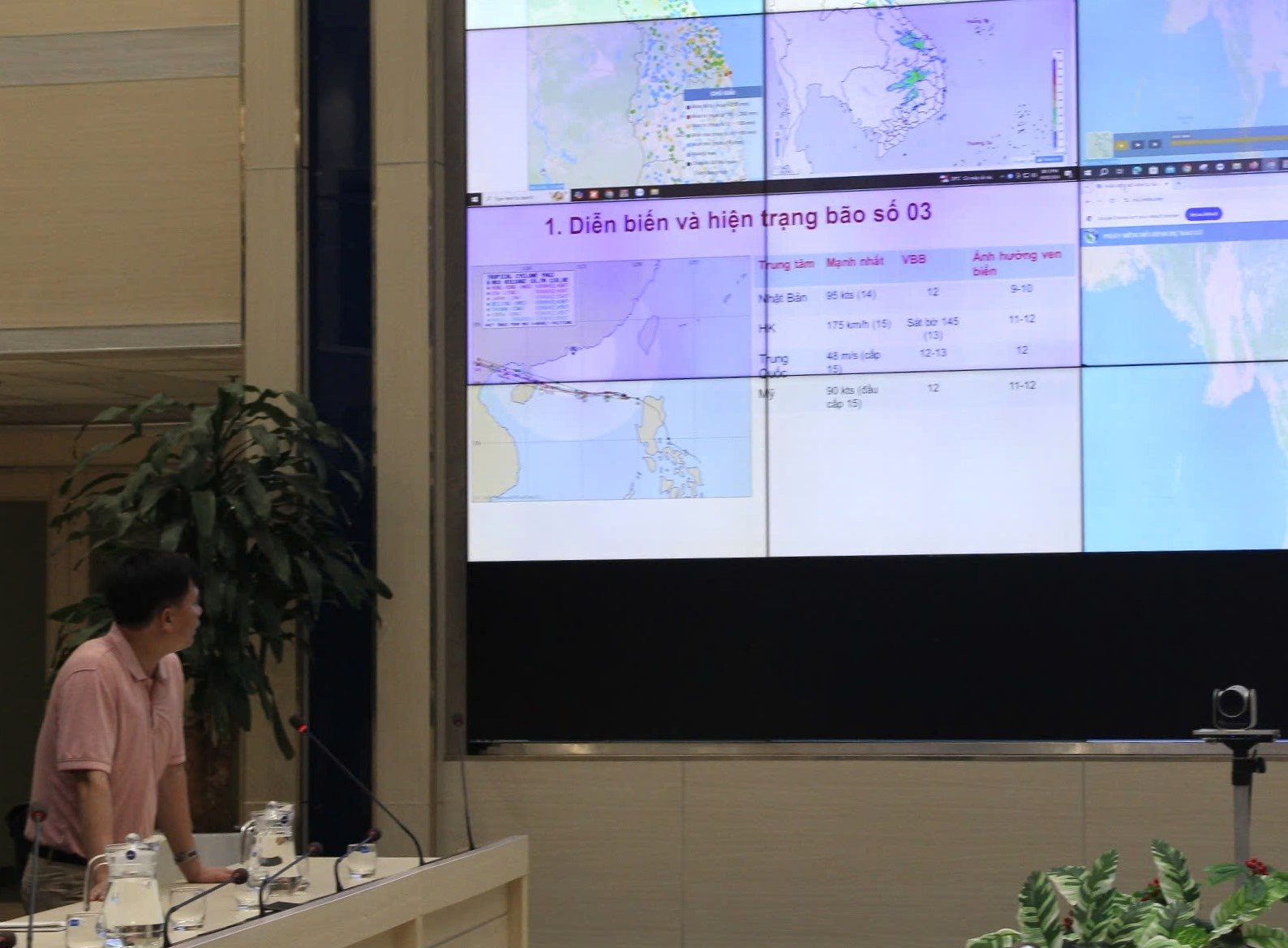
From now until September 6, storm No. 3 will move steadily westward at an average speed of about 10 - 15 km/hour. The eastern sea area of the North East Sea will have strong winds of level 8-9, the area near the storm's center will have winds of level 10-11, gusting to level 13. The sea will be rough, with waves 2 - 4m high, and the area near the storm's center will have waves 3 - 5m high.
From September 5 to 6, storm No. 3 may reach very strong storm level in the northern sea area of the North East Sea, strong winds may reach level 14, gusting to level 17 near the storm center. Wave heights will gradually increase to 7-9m, with rough seas. Ships operating in the above-mentioned dangerous areas are likely to be affected by strong winds and large waves.
International forecasting centers agree that storm number 3 may make landfall in Vietnam, with the eye of the storm likely to hit the provinces from Quang Ninh to Thai Binh.
At the meeting, delegates assessed that atmospheric conditions and sea temperature in the East Sea are favorable for storm No. 3 to continue to strengthen. This is a very strong storm, with high waves directly affecting ships operating at sea. The storm's circulation is quite wide and evenly distributed, affecting almost the entire Gulf of Tonkin and causing thunderstorms and strong gusts of wind at sea.
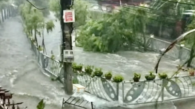
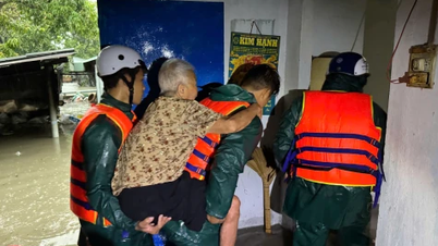
When it makes landfall, heavy rains could affect the northern and north central provinces, and even extend further depending on the storm’s trajectory. Heavy rains could cause flash floods, landslides, and urban flooding.
Currently, the network of hydrometeorological monitoring stations is operating stably and transmitting data in real time. The national hydrometeorological forecasting system and regional hydrometeorological stations, provincial hydrometeorological stations focus on reviewing and collecting a list of areas identified as at risk of heavy rain, landslides, flash floods to focus on forecasting and warning for the area. The work of capturing objects affected by storms and storm circulation is being implemented.
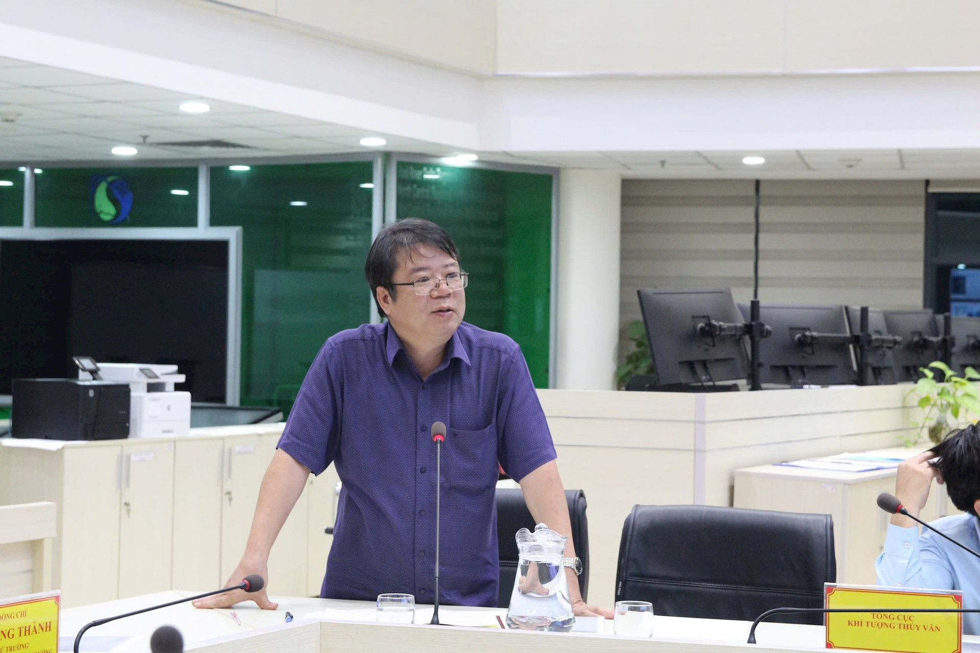
In response to the forecast of a storm with great destructive power and heavy rain in the North, Deputy Director General of the General Department of Hydrometeorology La Duc Dung requested the National Center for Hydrometeorological Forecasting to focus all human resources, closely monitor developments and factors that may affect the storm's development, thereby providing the most accurate and timely forecast information. The Center and 3 regional stations in the storm area: North Central, Northern Delta, Northern Mountainous Region focus on forecasting heavy rain, flash floods, and landslides. The Network Management Department coordinates with the National Network Center and 3 regional stations to organize enhanced monitoring according to the request of the National Center for Hydrometeorological Forecasting; evaluate, synthesize, and report after this enhanced monitoring period. The units also ensure smooth communication lines and prepare backup plans in case of incidents.
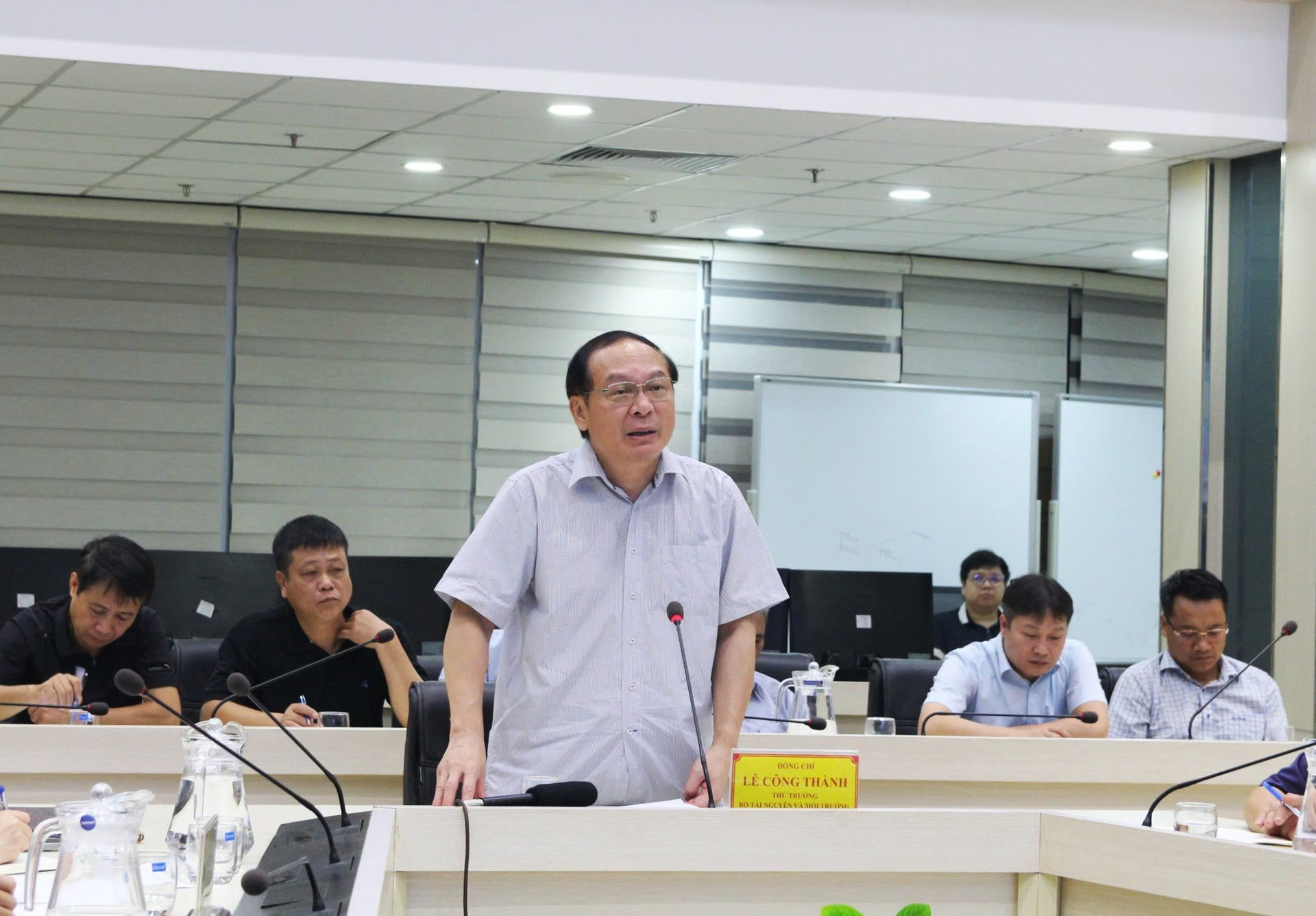
Speaking at the meeting, Deputy Minister Le Cong Thanh stated that the storms have now entered a period of complicated developments. Therefore, the General Department of Hydrometeorology needs to be cautious, vigilant, ensure that the technical system operates continuously and stably, information is provided smoothly, and on-call and forecasting work is carried out closely and systematically.
Regarding storm No. 3, in the situation where the command agencies for natural disaster prevention and search and rescue at the central and local levels are not yet complete, Deputy Minister Le Cong Thanh suggested that the Ministry's Office contact the Government Office; the General Department directs regional hydrometeorological stations to contact focal points for natural disaster prevention and search and rescue from the central to local levels. Hydrometeorological stations need to learn about each province, even work directly to be able to promptly provide forecasts and warnings during the storm.
In addition, the Deputy Minister requested the General Department to closely monitor the storm's developments and provide information on dangerous areas within 24-36 hours. Storm No. 3 is likely to change direction and accelerate faster, so the forecasting agency needs to proactively inform the border guards in a timely manner to warn and call on ships to leave the dangerous area.
The Deputy Minister noted that the General Department needs to closely monitor small-scale dangerous weather phenomena that may occur before the storm hits the shore and causes damage. In addition, it is necessary to carefully forecast rainfall and pay attention to reservoir operations. “Although the storm is still far away, it is forecasted to have complicated developments. The period from now until the end of the year is also forecasted to have many natural disasters and complicated weather. The General Department needs to make efforts to closely monitor the situation to forecast and minimize it to the lowest level,” Deputy Minister Le Cong Thanh emphasized.
Source: https://baotainguyenmoitruong.vn/thu-truong-le-cong-thanh-yeu-cau-theo-doi-sat-dien-bien-bao-so-3-va-thong-tin-cac-vung-nguy-hiem-trong-24-36-gio-379238.html


![[Photo] Ho Chi Minh City: Many people release flower lanterns to celebrate Buddha's Birthday](https://vphoto.vietnam.vn/thumb/1200x675/vietnam/resource/IMAGE/2025/5/10/5d57dc648c0f46ffa3b22a3e6e3eac3e)
![[Photo] General Secretary To Lam meets with Chairman of the Federation Council, Parliament of the Russian Federation](https://vphoto.vietnam.vn/thumb/1200x675/vietnam/resource/IMAGE/2025/5/10/2c37f1980bdc48c4a04ca24b5f544b33)


Comment (0)