
Bu Gia Map National Park has an area of over 25,600 hectares, located in the Northeast of Binh Phuoc province, bordering Dak Nong province and Cambodia, about 240km from Ho Chi Minh City.
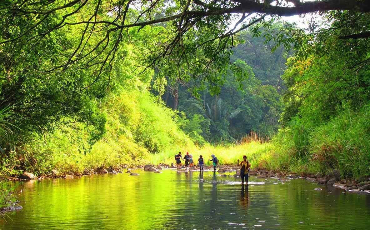
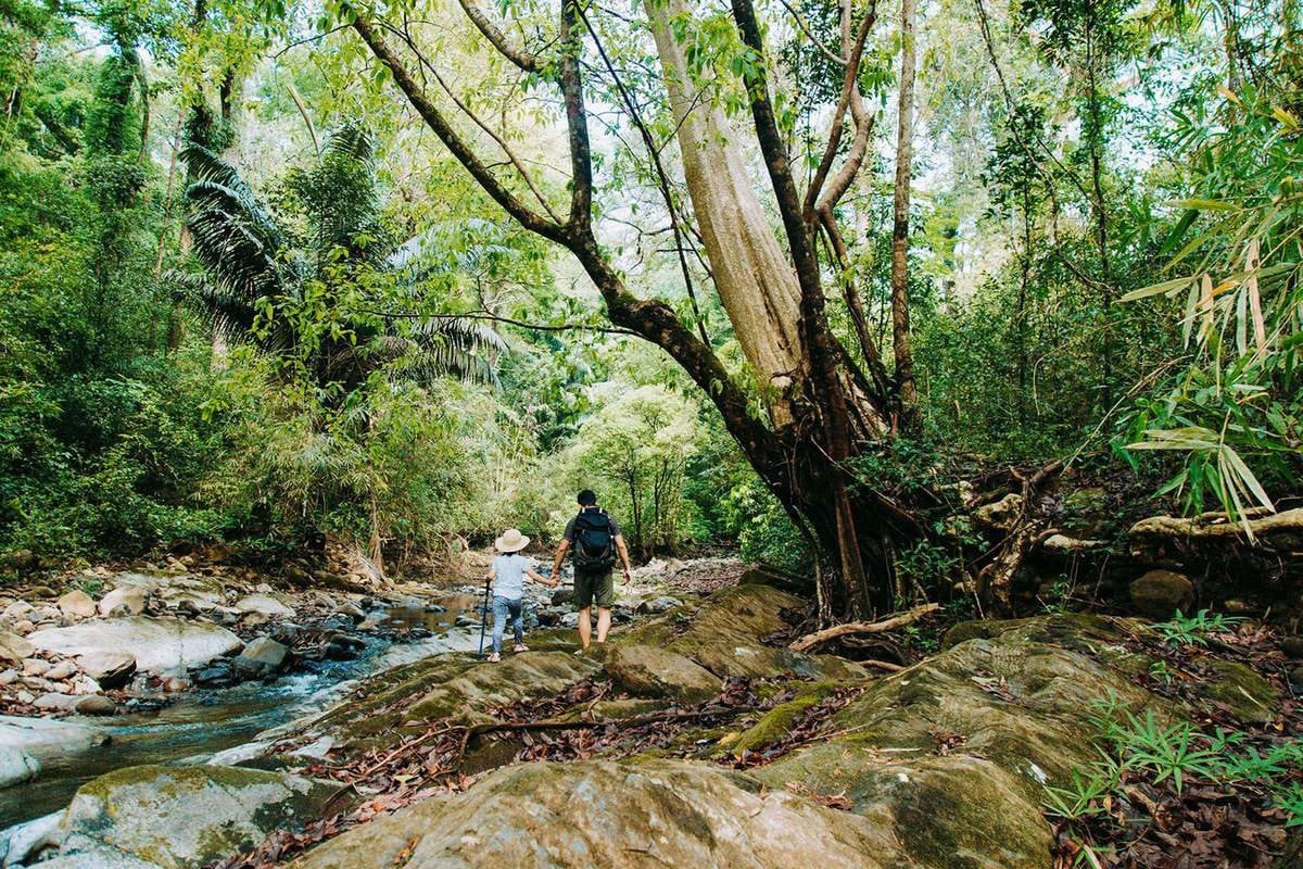
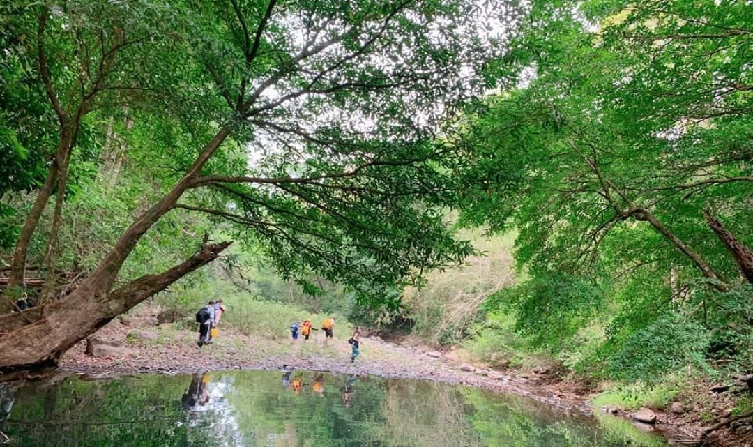
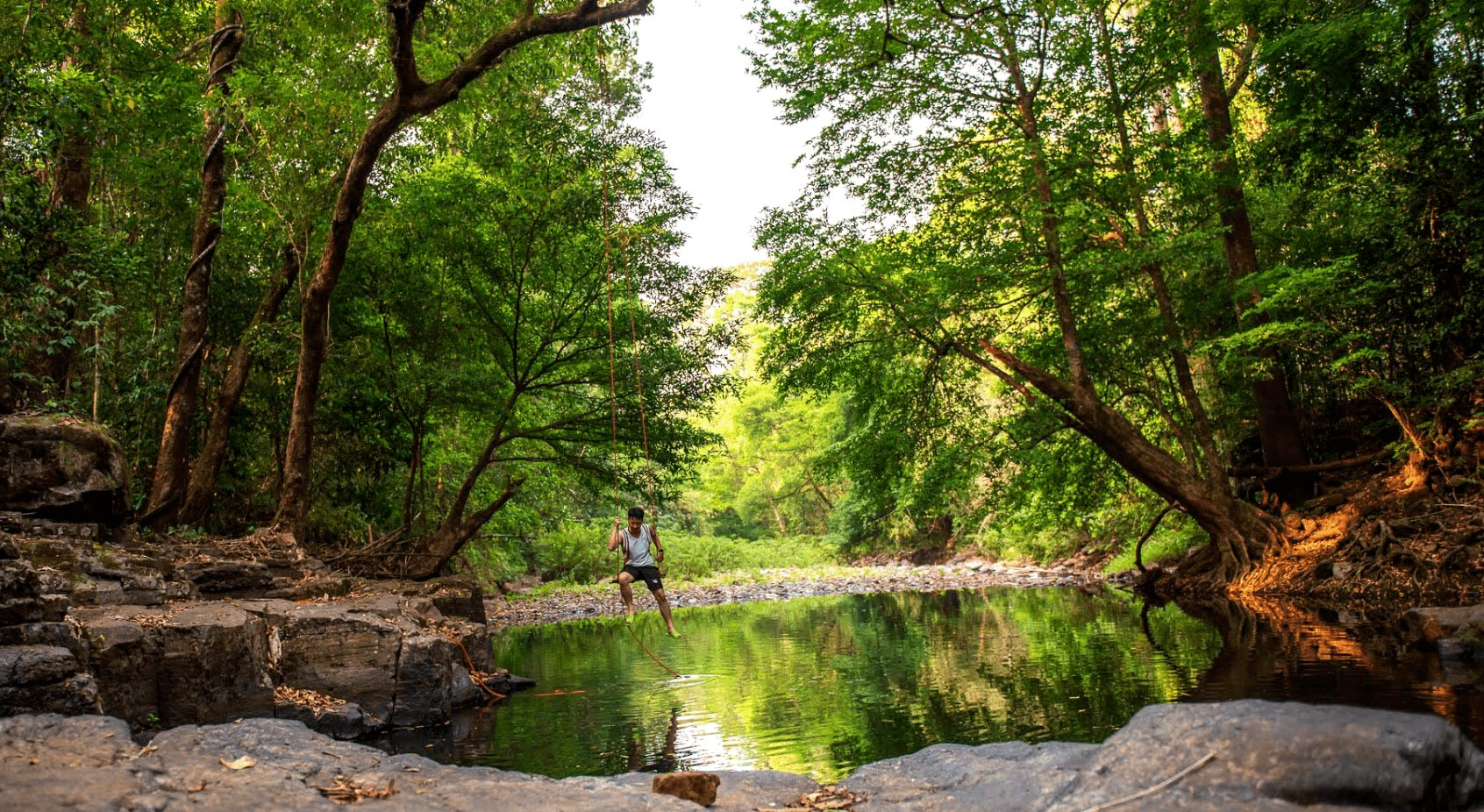
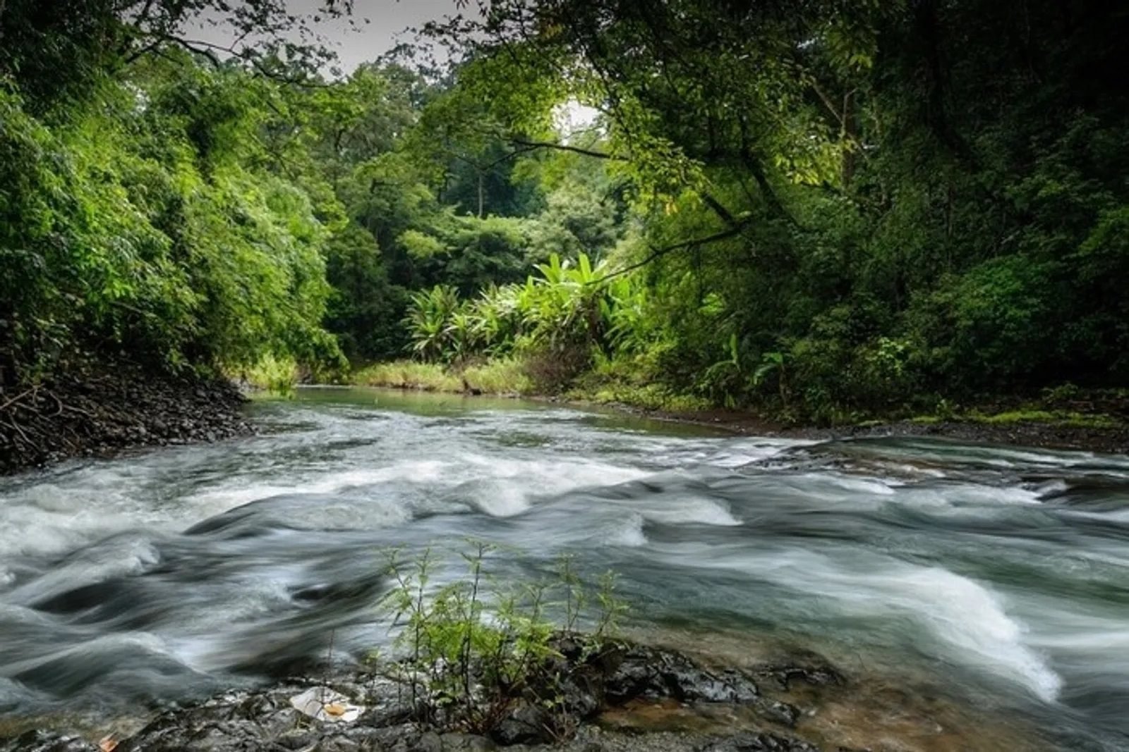
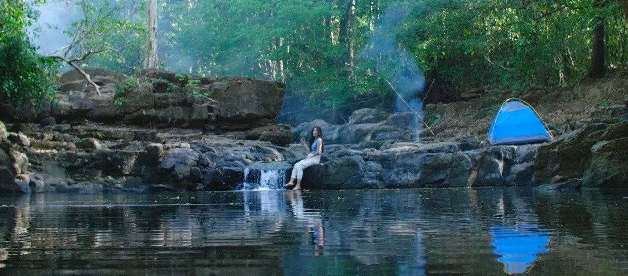
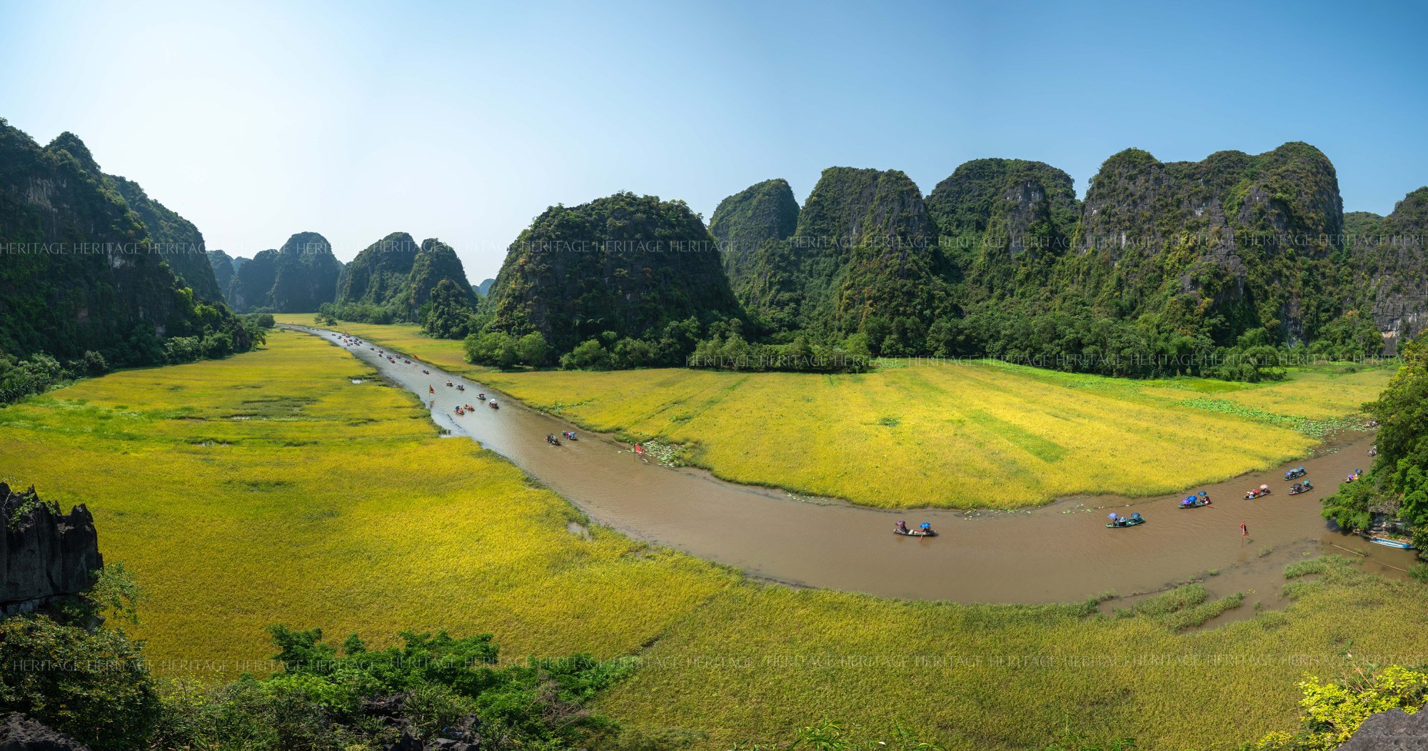
This is the transition area from the Central Highlands to the Southern Delta. Along with that, the park has many rivers and streams originating from Dak Nong province, so there are many beautiful, majestic and very wild waterfalls. This is also a suitable place for "forest bathing" - Immersing yourself in the nature of the tropical forest.
The garden is divided into many conservation areas for many rare plants. In particular, the forest coverage here reaches 90%, creating a habitat for many animals, becoming a place to conserve the ecosystem of wild animals and plants and rare medicinal herbs.
Besides, it is also a protective forest upstream for the Thac Mo and Can Don Hydroelectric Reservoirs... Notably, Bu Gia Map is also a place to maintain rare animal and plant gene sources of the Southeast region.
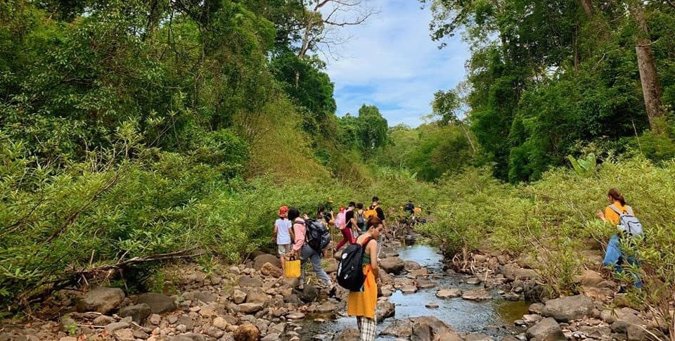
Each period of time, Bu Gia Map has its own beauty. According to the experience of backpackers, during the rainy season (from May to November every year), visitors can see many wild animals, but the road is quite difficult.

However, from late April to August is the time when wild fruits begin to ripen. A series of extremely delicious tropical fruits such as wild lychee, wild rambutan, wild mango, sim, coc, choi moi, tram, sau do, truong... are ready for visitors to enjoy. Along with that, many waterfalls pour white water in the middle of the green forest, creating a fascinating landscape.
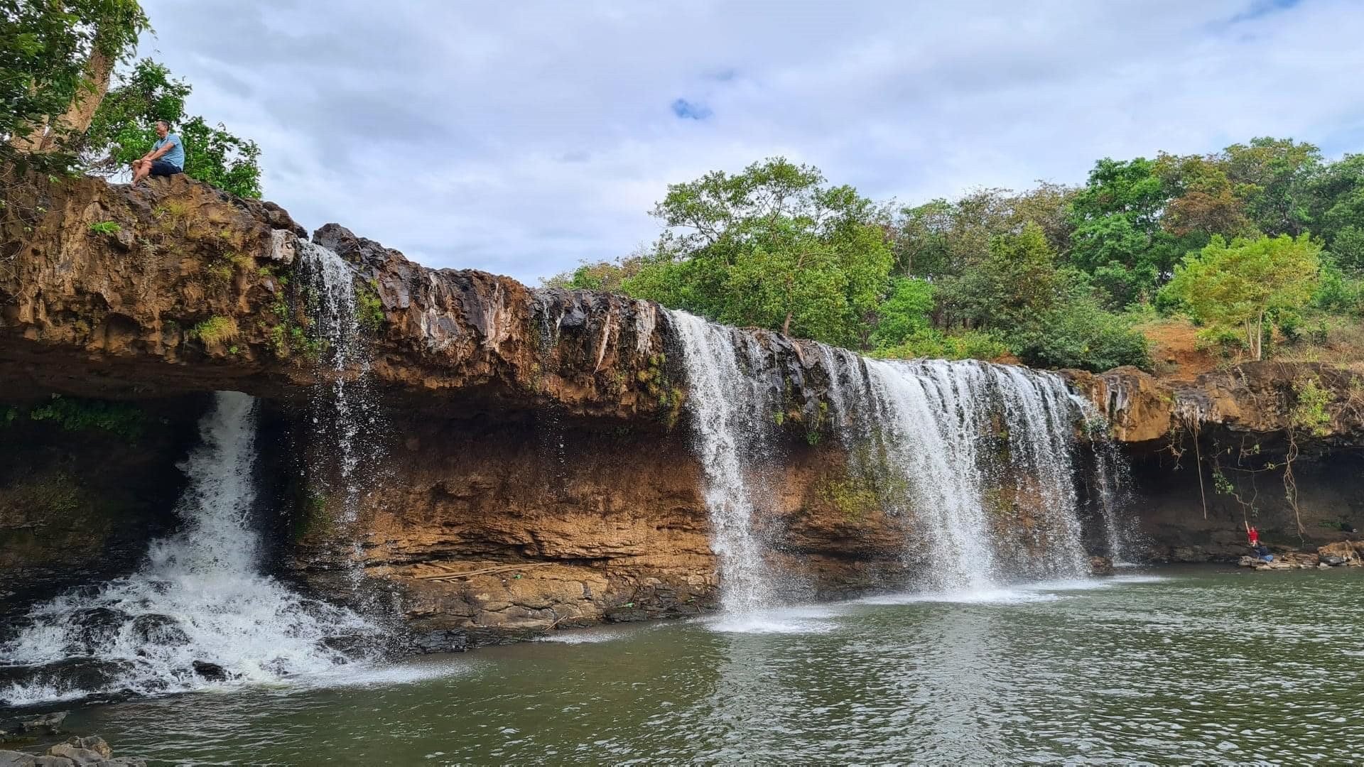
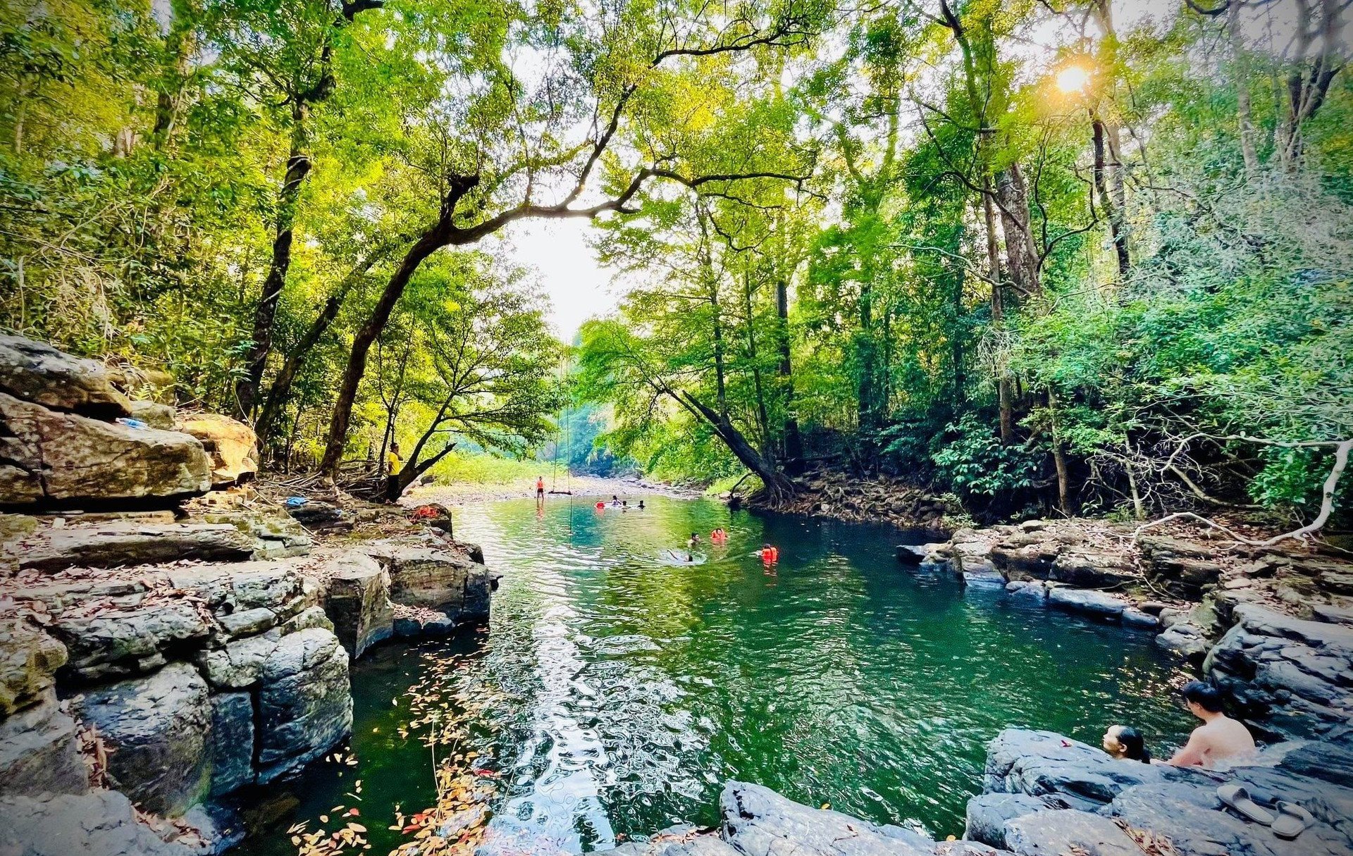
One of the most prominent waterfalls is Dak Mai waterfall. The waterfall is about 15m wide, about 10m high, and has a surface area of about 300m2, making it an ideal “swimming pool” for tourists.
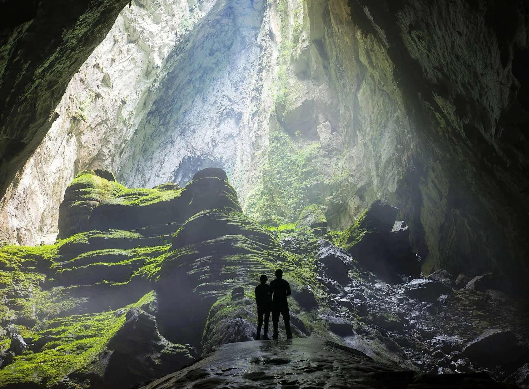
In particular, there are two caves on both sides of the waterfall; in the middle of the two caves there is a beautiful whirlpool flowing down, a memorable check-in spot for visitors. This was also the place where the Security Department of Zone 10 (the predecessor of the present-day Binh Phuoc Provincial Police) set up its base of operations in late 1966.
In the dry season (from December to April), Bu Gia Map has mild sunshine, easy roads, and visitors can comfortably participate in outdoor activities. However, it is hot and many streams and waterfalls are dry.
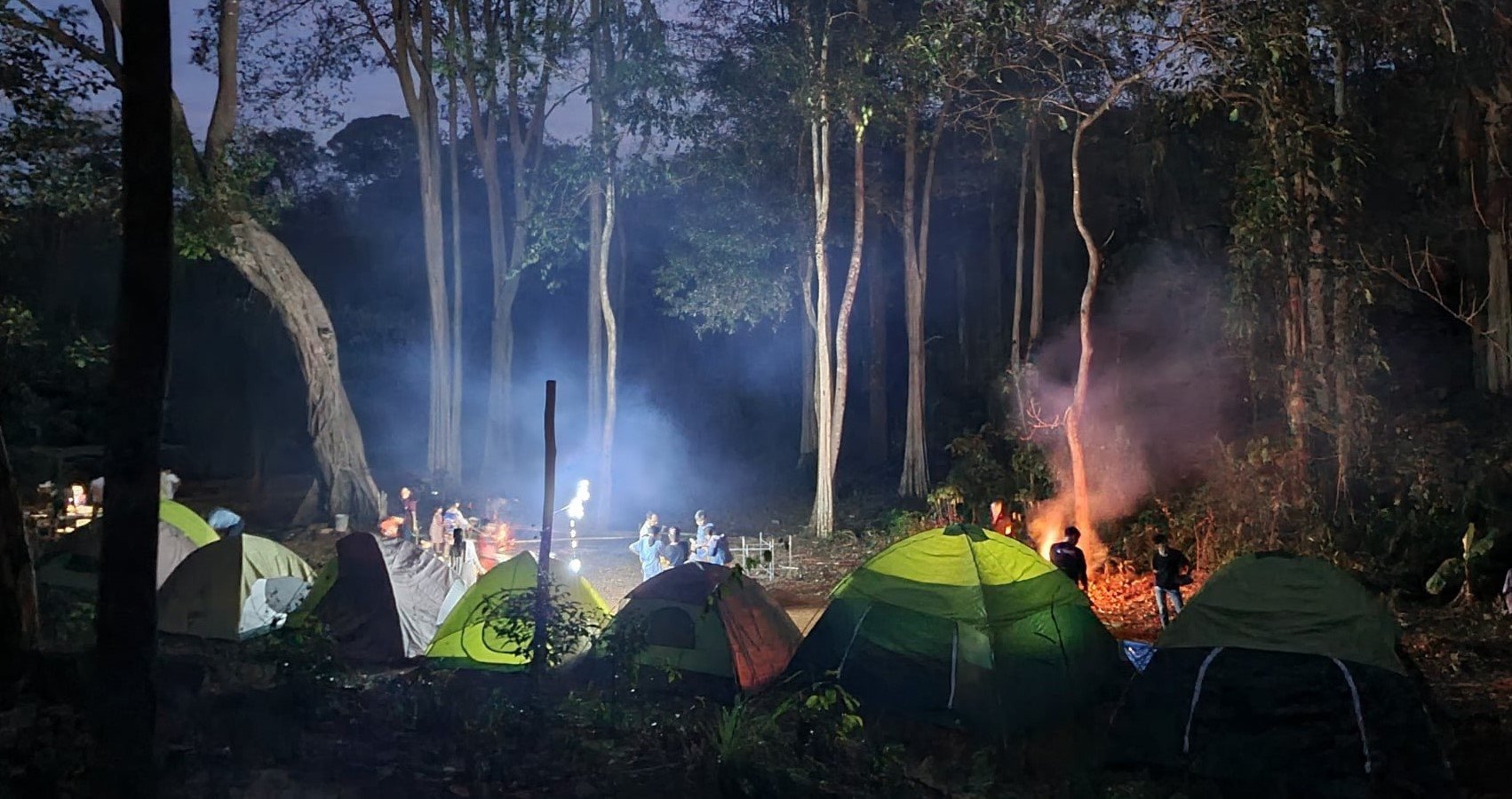
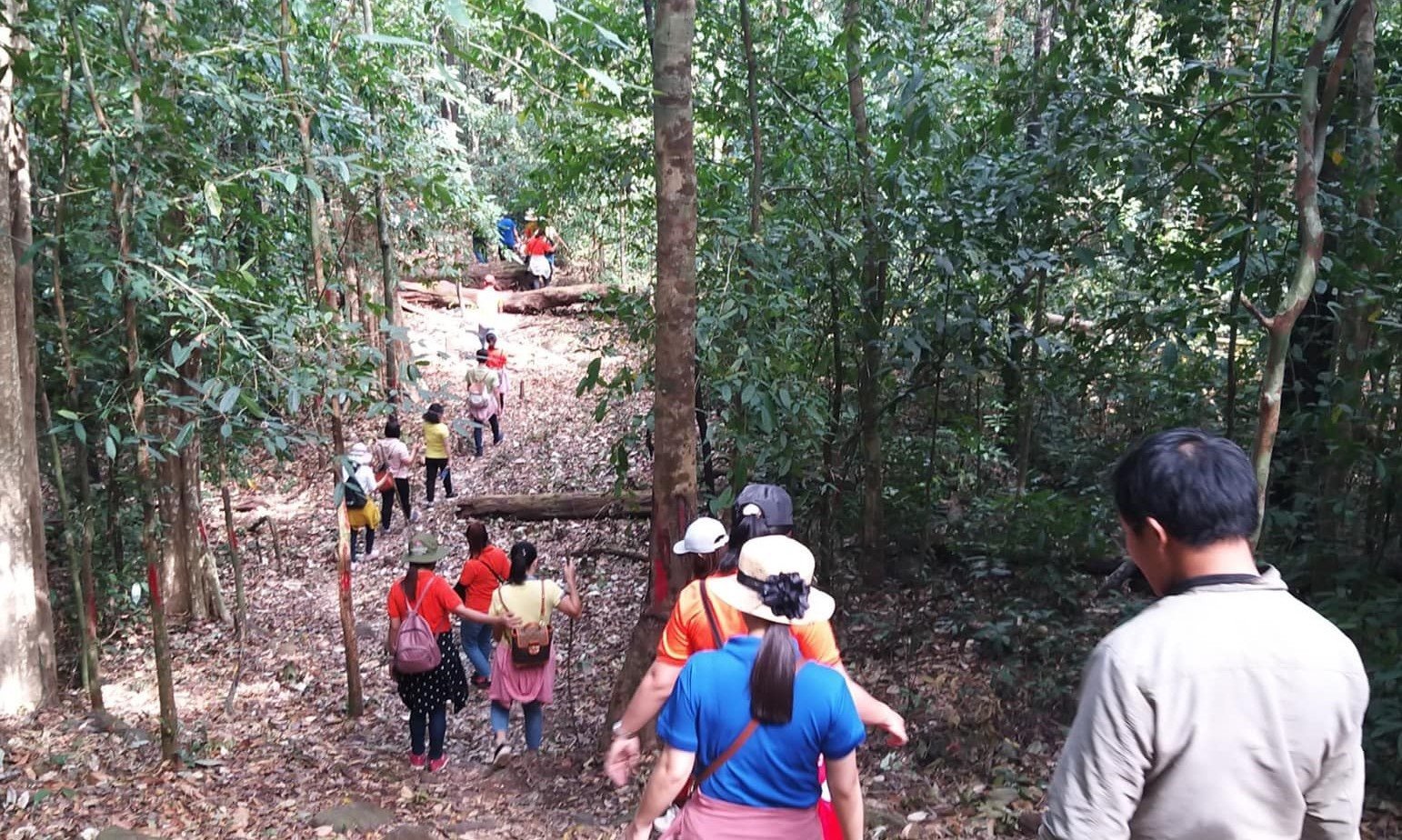
Visitors to Bu Gia Map National Park will be able to see the natural scenery close-up, admire the green beauty and discover many precious species of flora and fauna, and participate in interesting activities.
This place not only has beautiful landscapes, diverse and rich flora and fauna, but also has a fresh and cool climate, helping visitors to dispel fatigue, worries and sadness in the hustle and bustle of the city to balance their lives.
Source


Comment (0)