
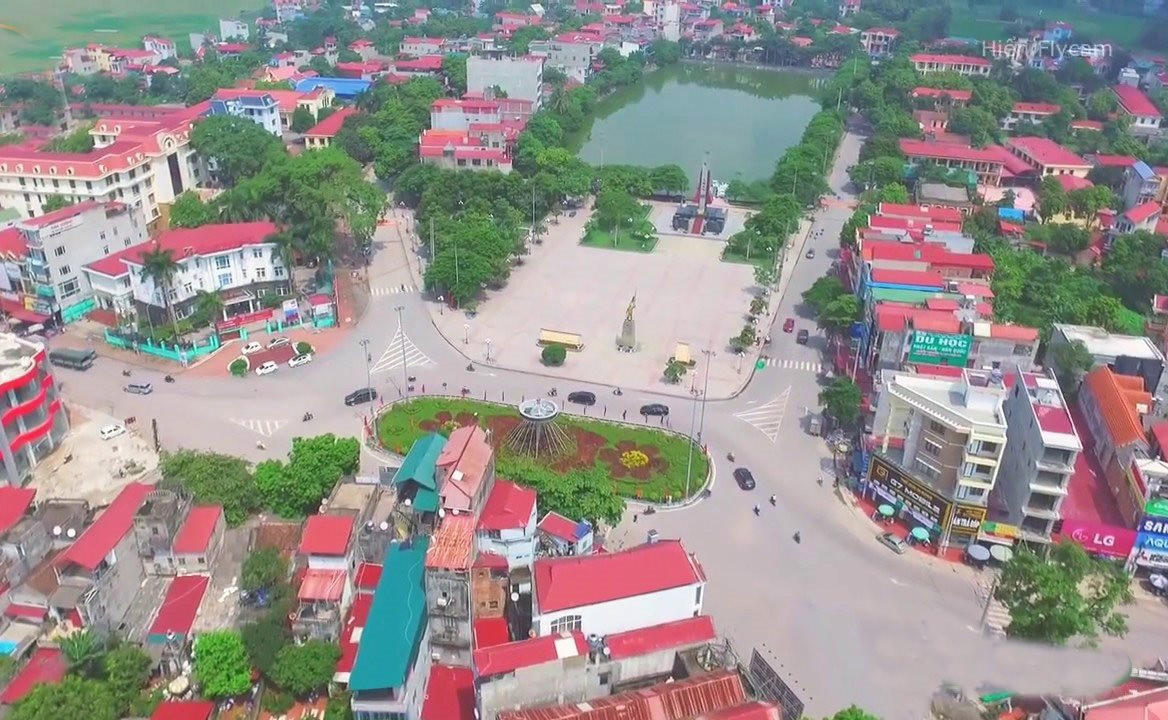
Specifically, the adjusted location is in Doan Bai and Danh Thang communes, Hiep Hoa district with an adjusted area of about 77.3 hectares. In terms of land use planning, about 75 hectares will be adjusted (including about 73.8 hectares of agricultural land and about 1.2 hectares of traffic land) to industrial land; about 2.3 hectares will be adjusted from agricultural land to cemetery land.
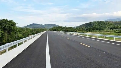
In addition, regarding traffic planning adjustment, the route connecting VD2 road with N1 road to Bai Thuong village, Doan Bai commune will be adjusted to move to the Northeast with the largest displacement point at the intersection with N1 road about 90m.
Other contents according to Decision No. 846/QD-UBND dated December 26, 2018 of the People's Committee of Bac Giang province on approving the Master plan for Hiep Hoa urban area, Bac Giang province to 2035 (scale 1/10,000).
The Department of Construction and the People's Committee of Hiep Hoa district are responsible for the accuracy of information, reported data, and appraisal contents according to regulations, and are responsible for organizing implementation in accordance with current regulations of the State.
Source


Comment (0)