
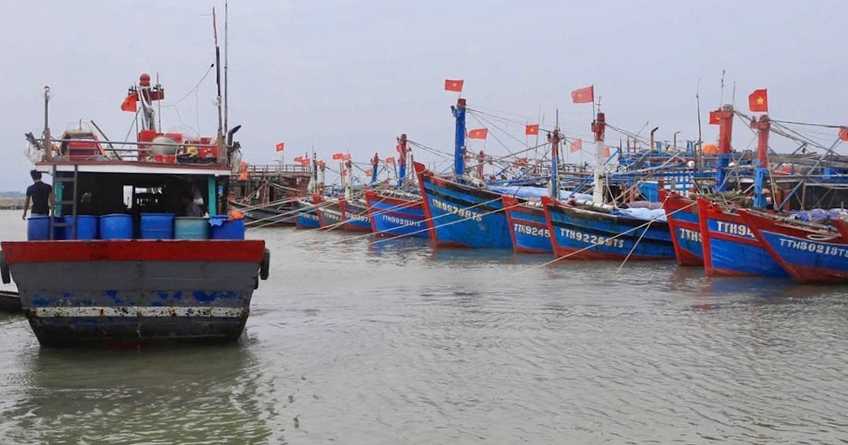
Latest news on tropical depression about to strengthen into storm number 4
According to the latest bulletin from the National Center for Hydro-Meteorological Forecasting, at 1:00 a.m. on September 17, the center of the tropical depression was located at about 17.0 degrees North latitude; 122.0 degrees East longitude, on the mainland east of Luzon Island (Philippines). The strongest wind near the center of the tropical depression was level 7 (50-61 km/h), gusting to level 9 ; moving mainly west at about 15 km/h.
Forecast of tropical depression ( in the next 24 to 48 hours)
Forecast time | Direction, speed | Location | Intensity | Danger zone | Disaster Risk Level (Affected Area) |
01h/18/9 | West Southwest, about 25km/h, moving into the East Sea, strengthening into a storm | 16.6 N-116.4E; in the North East Sea area, about 420km east of Hoang Sa archipelago | Level 8, level 10 jerk | 15.0N-19.0N; East of longitude 115.0E | Level 3: East of the North East Sea area |
01h/19/9 | West Southwest 15-20km/h | 16.3N-112.2E; in the Paracel Islands area | Level 9, level 10 jerk | 15.0N-19.0N; 110.5E-118.0E | Level 3: North East Sea area (including Hoang Sa archipelago area) |
Storm warning ( from next 48 to 72 hours): In the next 48 to 72 hours, the storm is likely to change direction, moving in the West Northwest direction, traveling 10-15km per hour.
Warning of the impact of storm No. 4
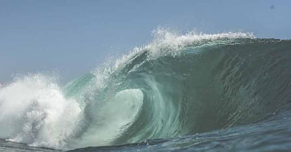
At sea : The eastern sea area of the North East Sea has strong winds of level 6-7, the area near the storm center has winds of level 8 (62-74km/h), gusts of level 10 (89-102km/h), rough seas.
The eastern sea area of the North East Sea has waves 2.0-4.0m high, increasing to 3.0-5.0m from the afternoon of September 17. Ships operating in the above-mentioned dangerous areas are likely to be affected by strong winds and large waves.
Source: https://danviet.vn/nong-ap-thap-nhiet-doi-sap-di-vao-bien-dong-manh-len-thanh-bao-so-4-20240917063539341.htm
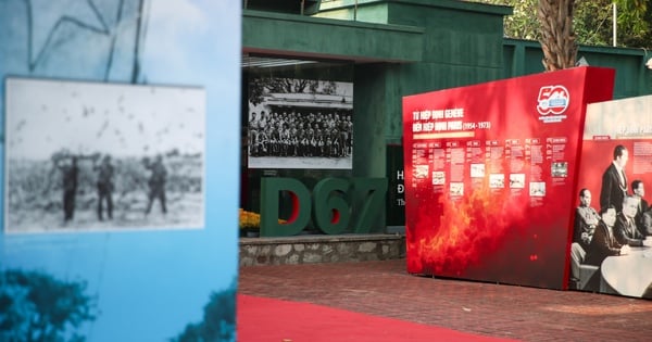
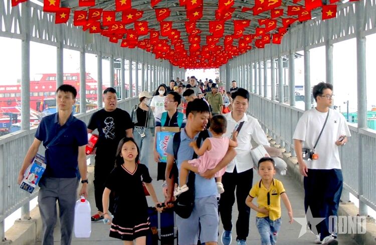
![[Photo] "Lovely" moments on the 30/4 holiday](https://vstatic.vietnam.vn/vietnam/resource/IMAGE/2025/5/1/26d5d698f36b498287397db9e2f9d16c)
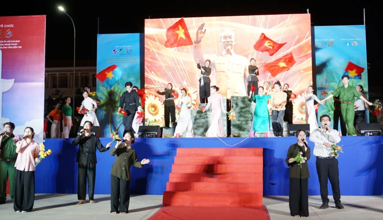
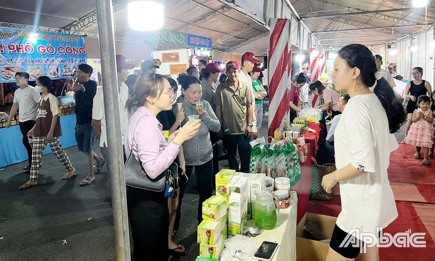
![[Photo] Binh Thuan organizes many special festivals on the occasion of April 30 and May 1](https://vstatic.vietnam.vn/vietnam/resource/IMAGE/2025/5/1/5180af1d979642468ef6a3a9755d8d51)
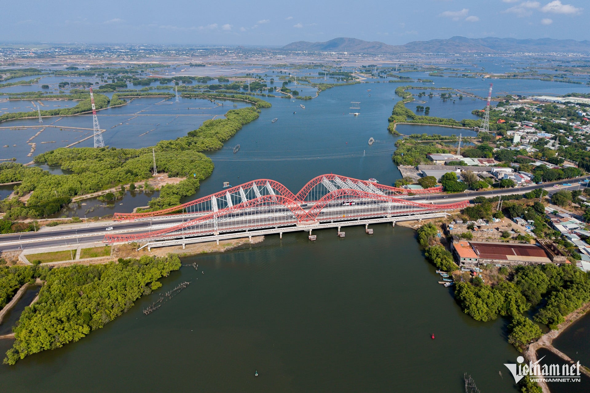
![[Photo] Ha Giang: Many key projects under construction during the holiday season](https://vstatic.vietnam.vn/vietnam/resource/IMAGE/2025/5/1/8b8d87a9bd9b4d279bf5c1f71c030dec)


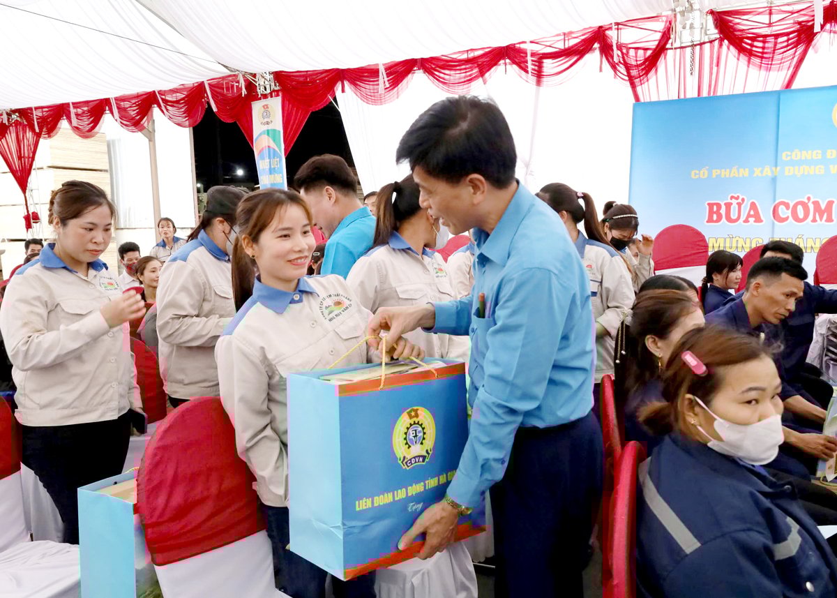
![[Photo] Soldiers and workers help people build houses](https://vstatic.vietnam.vn/vietnam/resource/IMAGE/2025/5/1/3a705ca5655e44f3a6d0554f0bf0563d)


Comment (0)