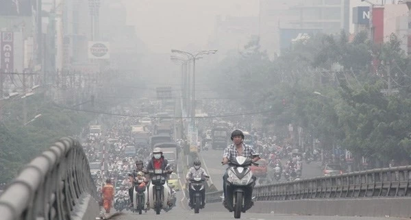
Latest news on storm number 4: 190km from Quang Binh – Quang Tri
According to the National Center for Hydro-Meteorological Forecasting, at 7:00 a.m. on September 19, the center of storm No. 4 was at about 17.5 degrees North latitude; 108.7 degrees East longitude, about 190km east of Quang Binh-Quang Tri. The strongest wind near the center of the storm was level 8 (62-74km/h), gusting to level 10; moving mainly west at a speed of about 20km/h.
At Con Co (Quang Tri), there were strong winds of level 6, gusting to level 8; at Hoanh Son (Ha Tinh), there were strong winds of level 6, gusting to level 8; at Dong Hoi (Quang Binh), there were strong winds of level 7.
From last night to this morning, in the North and Central Central regions, there has been moderate rain, heavy rain, and in some places very heavy rain: Hoa Bac (Da Nang) 152mm; Bach Ma (Thua Thien Hue) 270mm, Huong Phu (Thua Thien Hue) 249mm; Drakrong (Quang Tri) 112mm...
On the morning of September 19, the western sea area of the North East Sea (including the Hoang Sa archipelago) had strong winds of level 6-7 (39-61km/h), gusts of level 9 (75-88km/h), waves 2.0-4.0m high, and rough seas.

Direction and affected area of storm No. 4 at 7:00 a.m. September 19. Source: National Center for Hydro-Meteorological Forecasting.
The sea area from Nghe An to Quang Ngai (including Ly Son island district, Cu Lao Cham, Con Co, Hon Ngu) has strong winds of level 6-7 (39-61km/h), waves 2.0-4.0m high, the area near the storm center has winds of level 8 (62-74km/h), gusts of level 10 (89-102km/h), waves 3.0-5.0m high, rough seas.
In addition, due to the influence of the strong southwest monsoon, in the sea area from Binh Dinh to Ca Mau, the South of the Central East Sea area and the South East Sea area (including the sea area of Truong Sa archipelago), there is strong southwest wind level 6, sometimes level 7, gusting to level 8-9, waves from 3.0-5.0m high, rough sea. The area north of Bac Bo Gulf has strong wind level 5, sometimes level 6, gusting to level 7-8. Waves from 2-3.5m high. Rough sea.
Coastal provinces from Ha Tinh to Da Nang need to be on guard against storm surges of 0.3-0.5m high, combined with high tides and big waves causing landslides of sea dykes and embankments, and flooding in low-lying areas in the evening of September 19.
Vessels operating in the above-mentioned dangerous areas are susceptible to the effects of storms, whirlwinds, strong winds, large waves, high tides and storm surges.
From September 19 to September 20, in the North Central and Central Central regions, there will be heavy to very heavy rain with common rainfall from 100-300mm, locally over 500mm. Beware of heavy rain (>150mm/6 hours) in the area from Quang Tri to Da Nang on September 19.
The Central Highlands and the South have moderate rain, heavy rain and thunderstorms, locally very heavy rain with common rainfall from 20-40mm, some places over 70mm.
Due to the impact of storm No. 4, the Civil Aviation Authority of Vietnam has decided to temporarily suspend flights at Dong Hoi Airport (Quang Binh) from 3:00 p.m. to 10:00 p.m. on September 19. Da Nang will allow students to stay home from school from the afternoon of September 18 until the end of today, while Quang Nam students from kindergarten to grade 12 will have a day off today.
On the night of September 18, the Prime Minister issued a second dispatch requesting the coastal provinces of Thanh Hoa - Binh Dinh to closely monitor the development of the tropical depression that could strengthen into a storm; deploy plans to respond to flooding and landslides while limiting damage to houses, warehouses, and schools; and proactively mobilize vehicles and supplies in areas expected to be directly affected by the storm.
Forecast of storm number 4
| Forecast time | Direction, speed | Location | Intensity | Danger zone | Disaster Risk Level (Affected Area) |
|---|---|---|---|---|---|
13h/19/9 | West, about 20-25km/h | 17.3 N-107.4E; on coastal waters from Quang Binh to Thua Thien Hue | Level 8, level 10 jerk | 15.0N-19.5N; West of longitude 112.0E | Level 3: Western sea area of the North East Sea (including Hoang Sa archipelago); sea area from Nghe An to Quang Ngai (including Ly Son island, Cu Lao Cham, Con Co, Hon Ngu); coastal mainland area from Ha Tinh to Quang Nam |
19h/19/9 | West, 20km/h | 17.5 N-106.3E; on land in the area from Quang Binh to Quang Tri | Level 6, level 10 jerk | 15.5N-19.5N; West of longitude 110.0E | Level 3: sea area from Nghe An to Quang Nam (including Cu Lao Cham, Con Co, Hon Ngu islands); mainland area from Ha Tinh to Quang Nam |
07:00/20/9 | West Northwest, about 15-20km/h, gradually weakening into a low pressure area. | 18.0 N-104.4E; over central Laos | 15.0N-19.5N; West of longitude 110.0E | Level 3: sea area from Nghe An to Da Nang (including Con Co and Hon Ngu islands); mainland area from Ha Tinh to Da Nang |
 ") // // .removeAttr("style"); el.find(".first").show(); el.find("a.second").html(""); el.find("a.second").removeAttr("data-out"); $('.comment-account').html(`
 ") // // .removeAttr("style"); el.find(".first").show(); el.find("a.second").html(""); el.find("a.second").attr("data-out", "0"); $('.comment-account').html(` ") // .removeAttr("style"); //el.find("a.second").html(""); }); }; fnPopupBindAction(); //login Facebook var otherLogin = { init: function() { var me = this; //gapi.load('auth2', function () { // gapi.auth2.init({ // client_id: '678720187862-08lendtdt5h3nr4j2he534p15b13aieg.apps.googleusercontent.com', // scope: 'email profile', // fetch_basic_profile: true // }); //}); $("#cmt-account-social button[data-type]").on('click', function() { me[$(this).attr("data-type")](function(response) { $("#cmt-account-header .tabs .close, #cmt-account .tabs .close") .click(); }); }); try { fbClient.appId = '1304555827613749'; //'211029740744825'; fbClient.version = "v14.0"; fbClient.init(); setTimeout(FB.AppEvents.logPageView, 5000); } catch (e) { // ignore } }, loginFacebook: function(cb) { var me = this; function reloginFacebook(callback) { FB.api('/me', { fields: 'id, name, email' }, function(profile) { //console.debug(profile); if (typeof callback === "function") callback(profile); }); }; FB.login(function(response) { if (response.authResponse) { reloginFacebook(function(info) { console.log(info); info.social = "facebook"; info.accessToken = response.authResponse.accessToken; var user = { email: info.email, name: info.name, } let now = new Date(); lgSetCookie('my_dv',JSON.stringify(user), new Date(now.getTime() + (30 * 12 * 60000))); authLogin(user.name, true); }); } else { $("#cmt_alert").html( "You have denied access to your Facebook account"); } }, { scope: 'public_profile,email' }); }, loginGoogle: function(callback) { var me = this; function callSocialApi(data, cb) { data.social = "google"; var user = { email: data.email, name: data.name, } let now = new Date(); lgSetCookie('my_dv',JSON.stringify(user), new Date(now.getTime() + (30 * 12 * 60000))); authLogin(user.name, true); } // API call for Google login if (gapi.auth2.getAuthInstance().isSignedIn.get()) { //console.debug('[VCC] GAPI Process'); var profile = gapi.auth2.getAuthInstance().currentUser.get().getBasicProfile(); //var id_token = gapi.auth2.getAuthInstance().currentUser.get().getAuthResponse().id_token; var access_token = gapi.auth2.getAuthInstance().currentUser.get().getAuthResponse() .access_token; var params = { id: profile.getId(), name: profile.getName(), email: profile.getEmail(), accessToken: access_token } //console.log('params: ', params); callSocialApi(params, callback); } else { //console.debug('[VCC] GAPI Login'); gapi.auth2.getAuthInstance().signIn().then( function(success) { var profile = gapi.auth2.getAuthInstance().currentUser.get() .getBasicProfile(); //var id_token = gapi.auth2.getAuthInstance().currentUser.get().getAuthResponse().id_token; var access_token = gapi.auth2.getAuthInstance().currentUser.get() .getAuthResponse().access_token; var params = { id: profile.getId(), name: profile.getName(), email: profile.getEmail(), accessToken: access_token } //console.log('params: ', params); callSocialApi(params, callback); }, function(error) { $("#cmt_alert").html( "You have declined the grant permission for Dan Viet Newspaper to access Google account" ); } ); } } } otherLogin.init(); });
Source: https://danviet.vn/nong-bao-so-4-dang-sam-sap-tien-vao-quang-binh-quang-tri-toan-mien-trung-mua-to-20240919084130133.htm


![[Photo] Bustling construction at key national traffic construction sites](https://vstatic.vietnam.vn/vietnam/resource/IMAGE/2025/5/2/a99d56a8d6774aeab19bfccd372dc3e9)


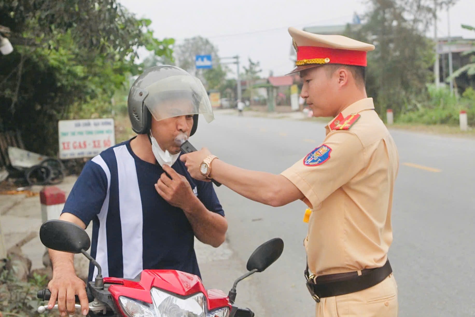
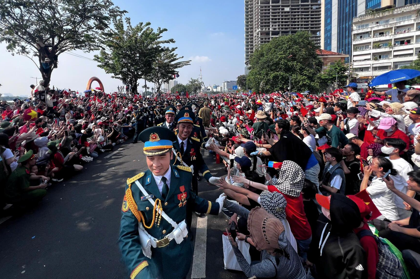


![[Photo] "Lovely" moments on the 30/4 holiday](https://vstatic.vietnam.vn/vietnam/resource/IMAGE/2025/5/1/26d5d698f36b498287397db9e2f9d16c)
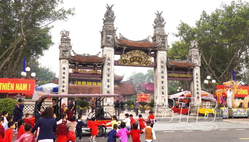
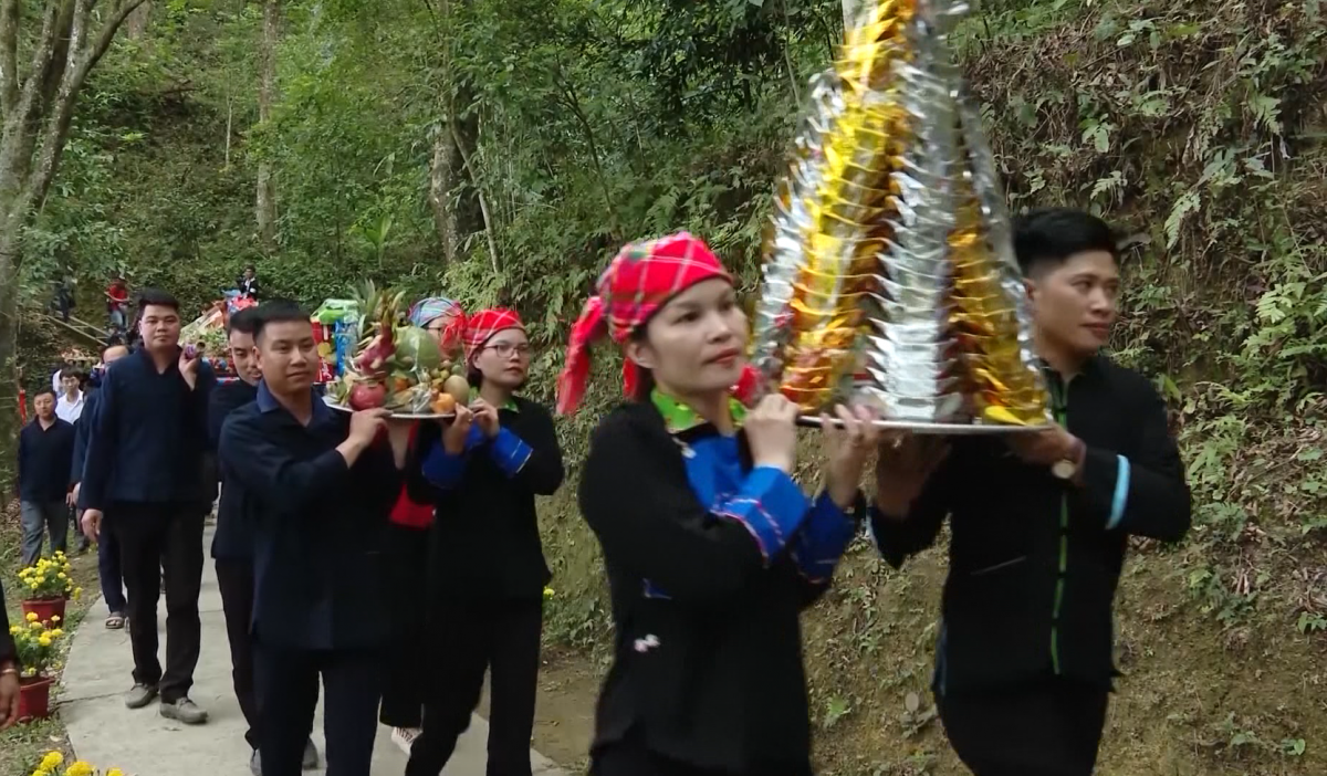
![[Photo] Binh Thuan organizes many special festivals on the occasion of April 30 and May 1](https://vstatic.vietnam.vn/vietnam/resource/IMAGE/2025/5/1/5180af1d979642468ef6a3a9755d8d51)