
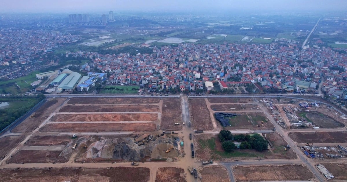
Accordingly, the research area for urban subdivision planning in the West of Ring Road 4 - segment 2 (from the South of the Red River to Thang Long Avenue) is the area oriented for expansion to the West of the urban area in the South of the Red River in the area of Dan Phuong and Hoai Duc districts, Hanoi.
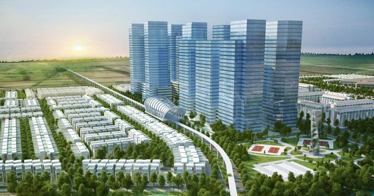
The development orientation is new urban development, some compact urban areas, TOD model optimizing high-rise buildings, establishing modern high-density residential areas, increasing the scale of green space, public spaces, gradually restructuring urban areas, old residential areas, to improve the living environment, promote the efficiency of urban land use; increase public utilities, traffic, technical infrastructure, social infrastructure...
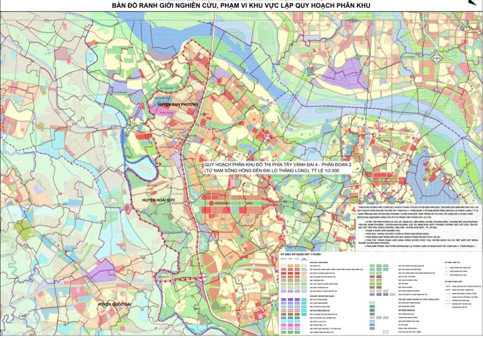
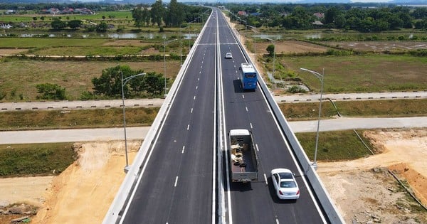
This is the western gateway area of the central urban area in the direction from Thang Long Avenue, West Lake - Ba Vi axis and West Thang Long road, combined with the urban subdivisions of West Ring Road 4, section 3, section 4 to form the urban chain west of Ring Road 4 belonging to the urban area south of the Red River.
The planning aims to concretize the Adjustment of the General Planning of Hanoi Capital to 2045, with a vision to 2065, approved by the Prime Minister in Decision No. 1668/QD-TTg dated December 27, 2024.
At the same time, expand the urban space to the West and South of the West Ring Road 4 area, connecting with radial axes such as Thang Long Avenue, Ho Tay - Ba Vi axis and Tay Thang Long road. Develop modern urban areas with additional infrastructure, economic and social functions. Orientate urban space development according to the TOD model, compressed in the main traffic hub area, urban railway station. Form high-quality medical complexes, commercial centers, develop logistics, and parking lots.
Research on the formation of buffer zones to protect and control urban development and increase density in existing villages. Prioritize the development of public spaces, create urban-scale service and commercial centers that both meet the needs of people in the central urban area and attract and supply the needs of suburban residential areas.
The scale of the planned land area is about 3,086ha. The scale of the measured area (50m wider than the planning research boundary) is about 3,304ha.
The total population of the study area by 2045 is forecasted to be about 200,000 ÷ 250,000 people (preliminary population taken from Submission No. 199 -TTr/BCSĐ dated June 28, 2024 of the Party Committee of the City People's Committee on organizing research to establish the Urban Subdivision Plan on both sides of Ring Road 4, and to establish and adjust the Urban Subdivision Plans on the East side of Ring Road 4 - the section passing through Hanoi City.
Time for listing and collecting comments from now until April 17, 2025.
Source: https://kinhtedothi.vn/dan-phuong-lay-y-kien-quy-hoach-phan-khu-do-thi-phia-tay-vanh-dai-4.html


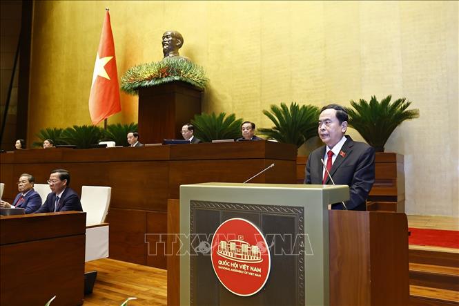
![[Photo] Solemn opening of the 9th Session, 15th National Assembly](https://vstatic.vietnam.vn/vietnam/resource/IMAGE/2025/5/5/ad3b9de4debc46efb4a0e04db0295ad8)
![[Photo] President Luong Cuong presided over the welcoming ceremony and held talks with Sri Lankan President Anura Kumara Dissanayaka](https://vstatic.vietnam.vn/vietnam/resource/IMAGE/2025/5/5/bbb34e48c0194f2e81f59748df3f21c7)


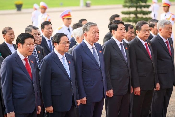
![[Photo] National Assembly delegates visit President Ho Chi Minh's Mausoleum](https://vstatic.vietnam.vn/vietnam/resource/IMAGE/2025/5/5/9c1b8b0a0c264b84a43b60d30df48f75)


Comment (0)