
On October 11, the Southern Hydrometeorological Station issued weather forecasts and warnings for the middle week of October in Ho Chi Minh City (October 11-20).
Accordingly, assessing the general situation, the Meteorological Station said that the continental cold high pressure has weakened in intensity, and will be re-strengthened around October 13 and 19-20. The equatorial low pressure trough with an axis of 6-9 degrees North latitude will weaken and fade, and around October 15-16, the low trough located at 7-10 degrees North latitude is likely to re-establish. The high-altitude East wind disturbance continues to operate well and affect the weather in the Southern region.
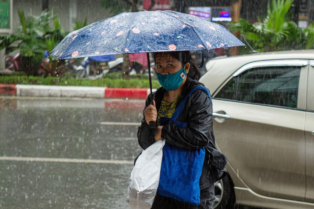
Therefore, the weather in Ho Chi Minh City is cloudy most days of the week, with scattered showers in many places with light to moderate rain; a few days with heavy rain in the early morning or late afternoon.

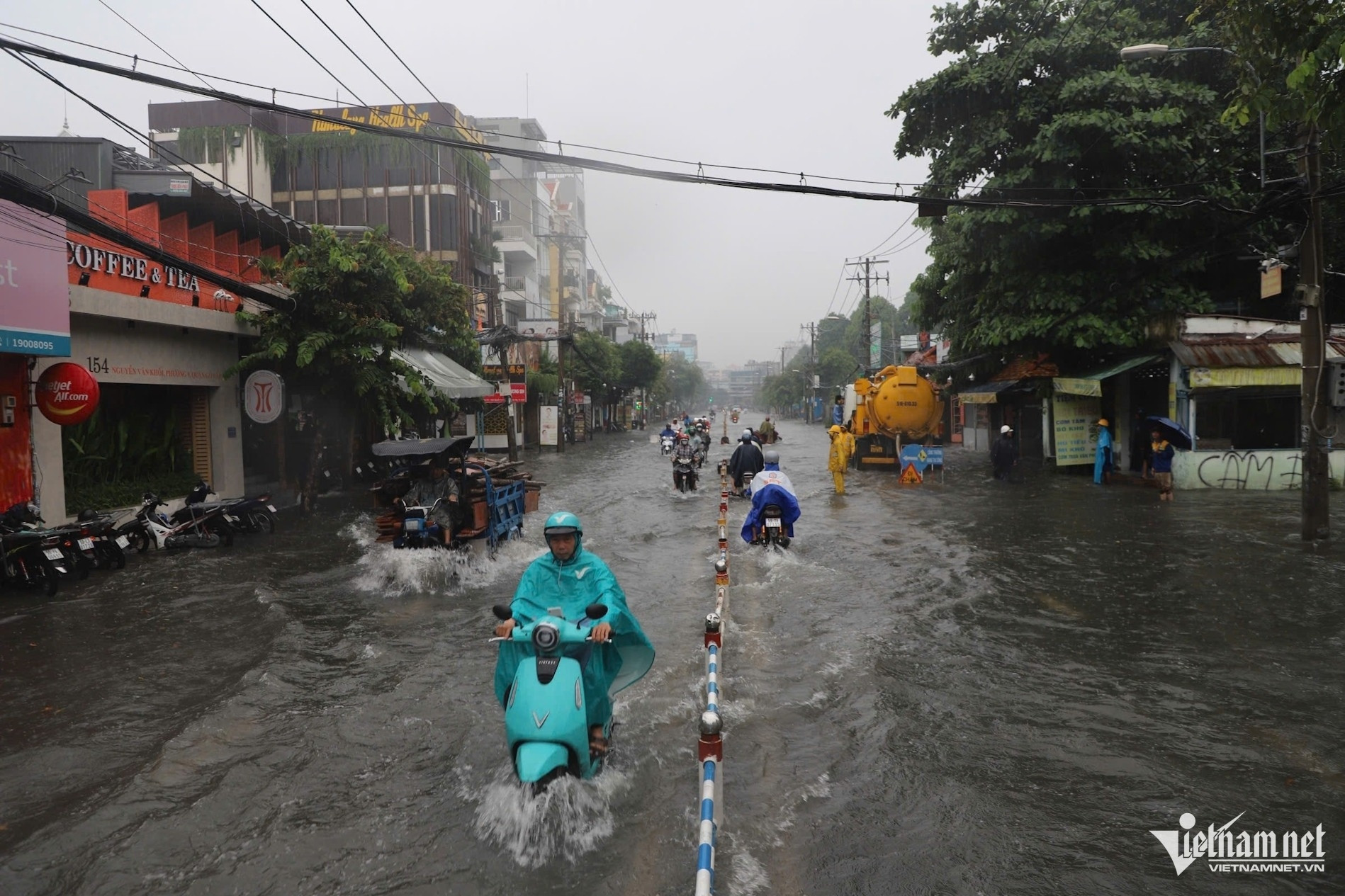
The Meteorological Station noted that there is a possibility of widespread rain in the early morning from October 15-18; beware of tornadoes and gusts of wind during thunderstorms.
Specific forecast for the coming days, October 11-14 and October 19-20: Cloudy, sunny during the day, showers in many places in the evening and scattered thunderstorms. Northeast wind level 3-4 on October 11-12, then change direction to weak intensity. Highest temperature 32-34 degrees; lowest 25-27 degrees.
From October 15-18: Cloudy, widespread rain with the possibility of rain in the early morning due to the impact of low-level easterly wind disturbances combined with the equatorial low pressure trough. Wind changes direction with weak to moderate intensity. Temperatures will slightly decrease, highest 31-33 degrees; lowest 24-26 degrees.
During the forecast period, the average temperature is lower than or equal to the average of many years in the same period, ranging from 27-28 degrees; in which the lowest temperature is 24-26 degrees; the highest is 32-34 degrees.
Total weekly rainfall is approximately close to or higher than the average, with a range of 80-130mm.
The meteorological station warns that it is necessary to be on guard against the possibility of heavy rain in the late afternoon, which could cause localized flooding on some roads in the city center from mid to late week, and the risk of tornadoes, lightning, and strong gusts of wind.
In addition, the National Center for Hydro-Meteorological Forecasting said that this afternoon and evening (October 11), the Southern region will have scattered showers and thunderstorms, with some places experiencing heavy rain with rainfall ranging from 15-30mm, and some places experiencing over 80mm. Tomorrow (October 12), the region will continue to have rain, moderate rain and thunderstorms, with some places experiencing heavy to very heavy rain.
Why were many areas in Ho Chi Minh City flooded after a 5-hour rain?
Weather forecast for the next 10 days: Northern region has showers, cold air strengthens

Flash flood after rain in Thu Duc City, swept away motorbike
Source: https://vietnamnet.vn/tphcm-kha-nang-co-dot-mua-giong-manh-lien-tiep-vao-sang-som-2330958.html


![[Photo] President Luong Cuong meets with Lao Prime Minister Sonexay Siphandone](https://vstatic.vietnam.vn/vietnam/resource/IMAGE/2025/4/25/3d70fe28a71c4031b03cd141cb1ed3b1)


![[Photo] Liberation of Truong Sa archipelago - A strategic feat in liberating the South and unifying the country](https://vstatic.vietnam.vn/vietnam/resource/IMAGE/2025/4/25/d5d3f0607a6a4156807161f0f7f92362)

![[Photo] Ho Chi Minh City welcomes a sudden increase in tourists](https://vstatic.vietnam.vn/vietnam/resource/IMAGE/2025/4/25/dd8c289579e64fccb12c1a50b1f59971)


Comment (0)