
According to the National Center for Hydro-Meteorological Forecasting, entering the rainy and storm season, the tropical convergence zone continues to be active and is likely to form tropical depressions and storms in the East Sea in August.
Commenting on the weather trend in August 2023, Deputy Head of the Climate Forecast Department, National Center for Hydro-Meteorological Forecasting Nguyen Duc Hoa said that during this period, there is a possibility of 2-3 storms and tropical depressions appearing in the East Sea, affecting the Northern and North Central regions.
In addition, the average temperature in August 2023 in the North and Central regions is 0.5-1 degree Celsius higher than the average of many years, higher in some places; the Central Highlands and the South are about 0.5 degree Celsius higher than the average of many years in the same period.
In the Northern region, heat waves continue to appear interspersed with rains. Heat waves are likely to last in the first half of the month, including some extremely hot days.
In the second half of the month, the heat tends to decrease compared to the first half of the month in the Central region.
Rainfall in the North is generally 10-25% lower than the average of many years, especially in the Lai Chau-Dien Bien region, at approximately the average of many years; in the Central region, it is generally 15-30% lower; in the Central Highlands and the South, it is generally approximately the average of many years in the same period.
"The southwest monsoon in the South is likely to cause many days of showers and thunderstorms in the Central Highlands and the South, with some days of strong thunderstorms accompanied by heavy rain, with heavy rain concentrated in the late afternoon. Rain, thunderstorms, and lightning, possibly accompanied by hail, will continue to occur nationwide," Mr. Nguyen Duc Hoa noted.
Mr. Nguyen Duc Hoa also warned that due to the impact of the heat wave concentrated in the Northern and Central regions, people need to be on guard against the risk of fire and explosion in residential and production areas due to the high demand for electricity and the high risk of forest fires, especially in the Central region.
On the other hand, entering the rainy and stormy season, the tropical convergence zone continues to be active and is likely to form tropical depressions and storms in the East Sea. The tropical convergence zone combined with the strong southwest monsoon will cause strong winds and large waves in the southern seas.
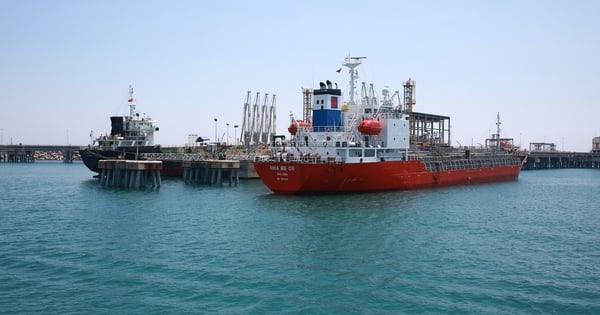
Therefore, in maritime and fishing activities, fishermen need to pay attention to prevent dangers to human life and property.
In addition, dangerous weather phenomena such as thunderstorms, tornadoes, lightning, and hail continue to appear nationwide, which can greatly affect production and people's activities./.
Thang Trung (VietnamPlus)
Source link


![[Photo] Feast your eyes on images of parades and marching groups seen from above](https://vstatic.vietnam.vn/vietnam/resource/IMAGE/2025/4/30/3525302266124e69819126aa93c41092)
![[Photo] Fireworks light up the sky of Ho Chi Minh City 50 years after Liberation Day](https://vstatic.vietnam.vn/vietnam/resource/IMAGE/2025/4/30/8efd6e5cb4e147b4897305b65eb00c6f)


Comment (0)