
TPO - The highest tide peak this time in Ho Chi Minh City may appear on November 16-17 (ie October 16-17 of the lunar calendar), appearing from 4-6am and 4-6pm.
TPO - The highest tide peak this time in Ho Chi Minh City may appear on November 16-17 (ie October 16-17 of the lunar calendar), appearing from 4-6am and 4-6pm.
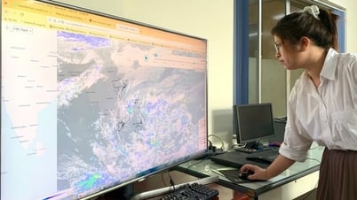
According to the Southern Hydrometeorological Station, water levels at most stations in the downstream of the Saigon - Dong Nai river system are rising rapidly and at high levels in the past 24 hours. As of 7:00 a.m. this morning (November 14), the highest water level measured at Phu An station (Saigon river) was 1.64m (about 0.04m above Alert Level III); at Nha Be station (Dong Dien canal) was 1.66m (about 0.06m above Alert Level III).
Water levels at most stations in the downstream of the Saigon - Dong Nai River are forecast to continue to rise in the next 2-3 days following the high tide of the 15th day of the 10th lunar month.
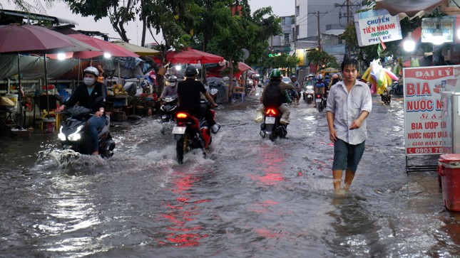 |
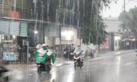
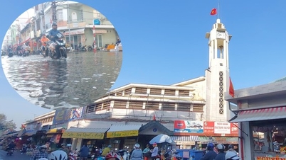
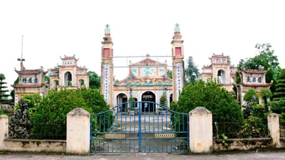
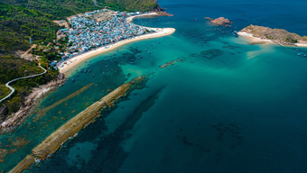
Tran Xuan Soan Street, District 7 (HCMC) was flooded during the high tide in early November. Photo: Huu Huy |
The highest tide during this period may appear on November 16 - 17 (ie October 16 - 17 of the lunar calendar) and at the following levels:
Phu An and Nha Be stations are at about 1.70 - 1.75m, 0.10-0.15m higher than Alarm Level III. Peak tides occur from 4-6am and 4-6pm.
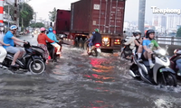
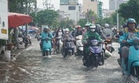
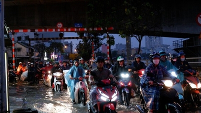
It is forecasted that some roads in low-lying areas, along rivers and canals in Ho Chi Minh City may be flooded such as: Huynh Tan Phat, Tran Xuan Soan (District 7), Le Van Luong, Dao Su Tich, Pham Huu Lau (Nha Be District), National Highway 50 (Binh Chanh District), ...
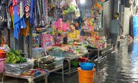
“This is a high tide period, which can cause flooding in low-lying areas and along rivers, affecting traffic and socio-economic activities in the Ho Chi Minh City area. The level of natural disaster risk in the downstream area of the Saigon - Dong Nai River is at level 2” - the Southern Hydrometeorological Station informed.
Source: https://tienphong.vn/trieu-cuong-ram-thang-10-tai-tphcm-co-the-dat-dinh-post1691395.tpo


![[Photo] Prime Minister Pham Minh Chinh talks on the phone with Singaporean Prime Minister Lawrence Wong](https://vphoto.vietnam.vn/thumb/1200x675/vietnam/resource/IMAGE/2025/5/8/e2eab082d9bc4fc4a360b28fa0ab94de)


![[Video] Closing Ceremony of the United Nations Vesak Festival 2025](https://vphoto.vietnam.vn/thumb/402x226/vietnam/resource/IMAGE/2025/5/8/b09558ae3d594e07a6a0ac93eed6edd9)


![[Photo] Prime Minister Pham Minh Chinh receives delegation from the US-China Economic and Security Review Commission of the US Congress](https://vphoto.vietnam.vn/thumb/1200x675/vietnam/resource/IMAGE/2025/5/7/ff6eff0ccbbd4b1796724cb05110feb0)


Comment (0)