
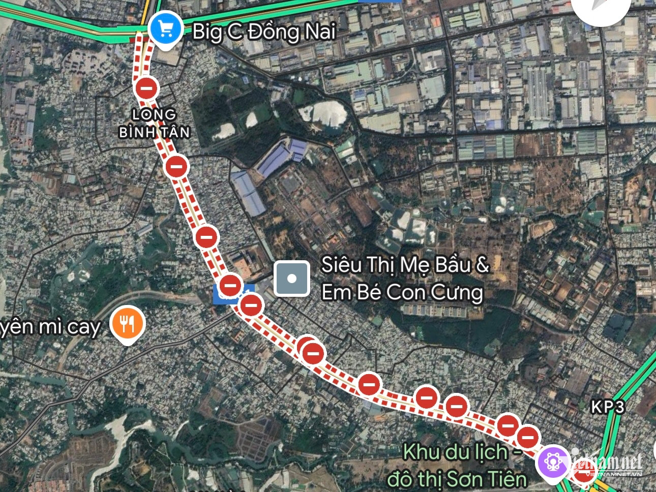
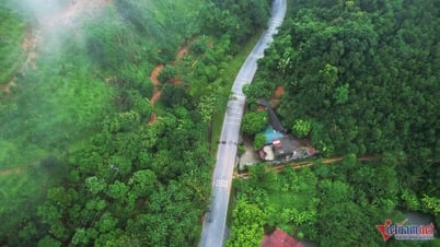
Google Maps application displays incorrect traffic conditions on Highway 51 (Bien Hoa City, Dong Nai), causing many drivers to take detours, wasting time and money.
Today (February 14), many people reported that Google Maps displayed incorrect information about traffic conditions on National Highway 51, from Gate 11 to Vung Tau intersection (Bien Hoa City, Dong Nai).
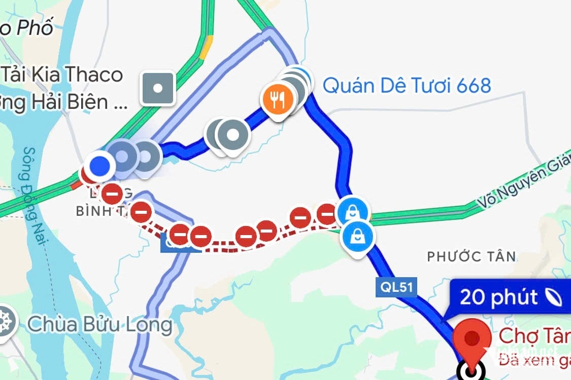
The app reports that the road is blocked in both directions, while in reality the route is still open to traffic.
Truck driver Nguyen Van Hung said he relies on Google Maps to schedule deliveries.
When he saw the road closure notice, he was forced to take a detour, which increased his travel time and fuel costs. "When I arrived, I found out that Highway 51 was still open," Hung shared.
Many bus drivers and residents also encounter similar situations when Google Maps continuously gives detour instructions, causing waste of time and money.
Mr. Tran Minh Hung, a bus driver on the Vung Tau - Ho Chi Minh City route, said that the route reporting application was blocked, so he changed his route.
However, when he arrived, he discovered that the road was still running normally, affecting the passenger pick-up and drop-off schedule.
A representative of Dong Nai Department of Transport confirmed that there is no ban on Highway 51 and recommended that people consult information from official sources instead of relying solely on map applications.
Previously, on February 13, a heavy rain caused some sections of Highway 51 to be deeply flooded, forcing many vehicles to stop. However, traffic on this route has now returned to normal.
Source: https://vietnamnet.vn/tai-xe-gap-kho-vi-google-maps-bao-nham-quoc-lo-51-bi-cam-luu-thong-2371319.html


![[Photo] General Secretary To Lam meets and expresses gratitude to Vietnam's Belarusian friends](https://vphoto.vietnam.vn/thumb/1200x675/vietnam/resource/IMAGE/2025/5/11/c515ee2054c54a87aa8a7cb520f2fa6e)


![[Photo] General Secretary To Lam concludes visit to Russia, departs for Belarus](https://vphoto.vietnam.vn/thumb/1200x675/vietnam/resource/IMAGE/2025/5/11/0acf1081a95e4b1d9886c67fdafd95ed)
![[Photo] General Secretary To Lam arrives in Minsk, begins state visit to Belarus](https://vphoto.vietnam.vn/thumb/1200x675/vietnam/resource/IMAGE/2025/5/11/76602f587468437f8b5b7104495f444d)


Comment (0)