
On June 21, Mr. Nguyen Van Huong, Head of Weather Forecast Department, National Center for Hydro-Meteorological Forecasting, said that the North and Central East Sea areas are forming a low pressure trough with a Northwest - Southeast axis.
According to meteorological experts, around June 23-24, this low-pressure trough is likely to form, with a 65-75% probability of strengthening into a tropical depression.
"With the development of climate laws during this period, when the low pressure area strengthens into a tropical depression, there will be two directions of movement, one is the possibility of entering mainland China, the other is entering the Gulf of Tonkin and affecting mainland Vietnam," said Mr. Huong.
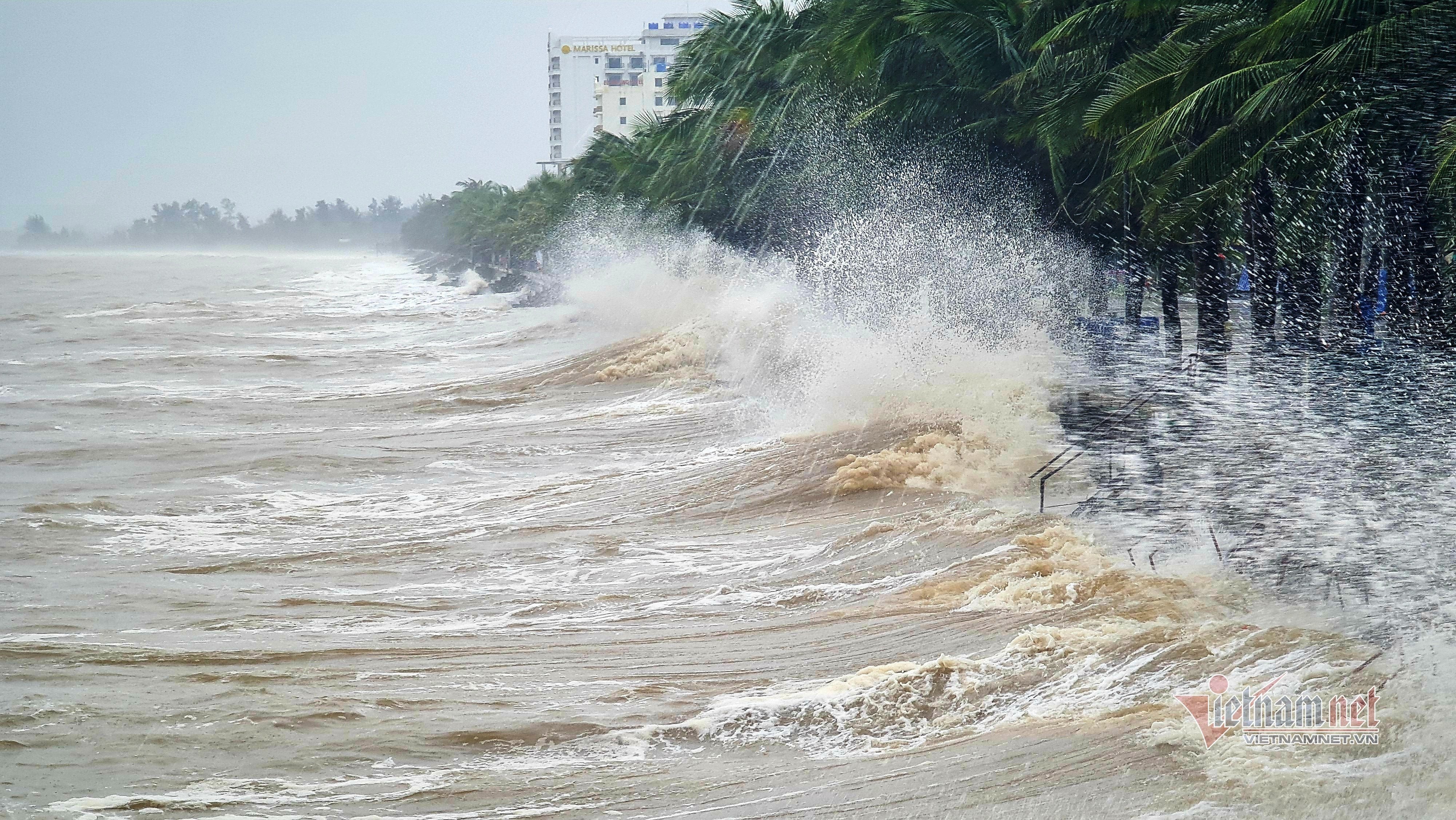
Mr. Huong commented that due to the impact of the low pressure area that is likely to strengthen into a tropical depression, the southern area of the East Sea, the sea area from Binh Thuan to Ca Mau is experiencing strong southwest winds and the trend is to continue to strengthen in the coming time, causing bad weather in the southern area of the East Sea, the Binh Thuan - Ca Mau area with waves 2-3m high, and heavy rain and thunderstorms.
In addition, the low pressure area strengthening into a tropical depression will cause bad weather in the North and Central East Sea in the coming time.
Regarding the heat wave in the North and Central regions, Mr. Huong said that the appearance of the Northwest - Southeast low pressure trough has caused changes in the weather in the Northern provinces.
Specifically, the Southeast wind has caused the low pressure area in the West to weaken. Therefore, in the coming time, the heat in the North and Central regions will tend to decrease.
Experts say that from June 22 onwards, the heat will gradually ease. From June 23, the heat in the North will end, and in the Central region it will ease significantly.
Today, from Thanh Hoa to Thua Thien Hue, there will be hot and extremely hot weather, some places will be especially extremely hot with the highest temperature from 36-39 degrees, some places over 39 degrees; the lowest relative humidity is commonly 40-45%.
The midlands and deltas of the North, Hoa Binh and from Da Nang to Quang Ngai are hot, with some places experiencing severe heat with the highest temperature commonly ranging from 35-37 degrees, some places above 37 degrees; the lowest relative humidity commonly ranges from 50-55%.
Tomorrow (June 22), the heat in the North will gradually decrease. From Thanh Hoa to Thua Thien Hue, there will be heat, some places will be extremely hot with the highest temperature from 35-37 degrees, some places will be over 37 degrees; the lowest relative humidity is 50-55%.
In addition, from June 21-22, in the Central Highlands and the South, there will be moderate rain, heavy rain and thunderstorms, locally very heavy rain with common rainfall from 40-80mm, some places over 150mm; moderate rain and heavy rain will mainly be concentrated in the afternoon and at night.
This evening and tonight, the Northern region will also experience scattered showers and thunderstorms, locally heavy rain with rainfall from 15-30mm, some places over 70mm.
During the day and night of June 21, the area from Quang Ngai to Binh Thuan will have showers and thunderstorms, locally heavy to very heavy rain with rainfall from 20-50mm, in some places over 80mm.
Source: https://vietnamnet.vn/ranh-ap-thap-dang-hinh-thanh-tren-bien-dong-nang-nong-o-mien-bac-sap-ket-thuc-2293833.html


![[Photo] Prime Minister Pham Minh Chinh chairs a special Government meeting on the arrangement of administrative units at all levels.](https://vphoto.vietnam.vn/thumb/1200x675/vietnam/resource/IMAGE/2025/5/9/6a22e6a997424870abfb39817bb9bb6c)
![[Photo] Magical moment of double five-colored clouds on Ba Den mountain on the day of the Buddha's relic procession](https://vphoto.vietnam.vn/thumb/1200x675/vietnam/resource/IMAGE/2025/5/9/7a710556965c413397f9e38ac9708d2f)


Comment (0)