
The National Center for Hydro-Meteorological Forecasting has just issued a seasonal hydro-meteorological forecast and warning nationwide, from the second half of February to August 2024.
Accordingly, Dr. Hoang Phuc Lam, Deputy Director of the Center, said that El Nino conditions will continue to last from now until March; from April to May, El Nino tends to weaken rapidly and gradually move to a neutral state.
Specifically regarding climate change, Mr. Lam said that from March to May, there is little possibility of storms/tropical depressions appearing in the East Sea.
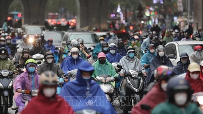
At the same time, cold air (KKL) is weaker than the average of many years (TBNN) in the same period. In the second half of February and March, severe cold only appeared locally in the northern mountainous areas.
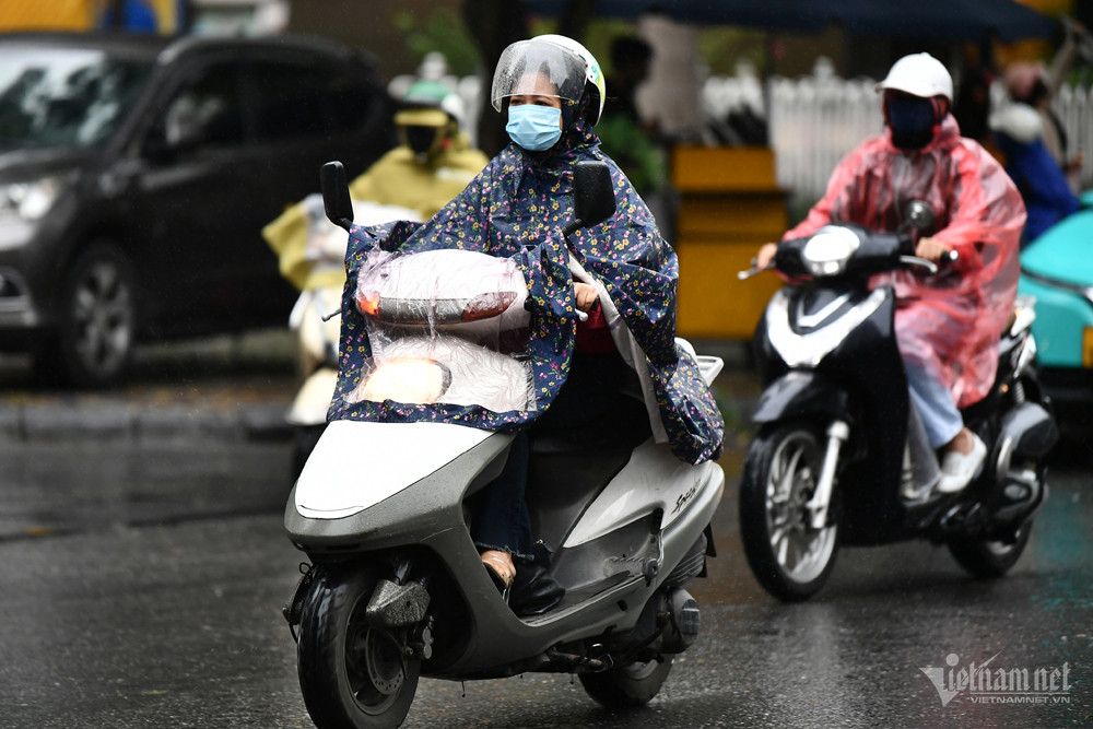
But at the same time, light rain and drizzle in the Northern region continued to appear more frequently than average.
At the same time, Mr. Lam noted the possibility of thunderstorms, tornadoes, lightning, hail and strong gusts of wind, especially during storms affecting our country during the transitional season (April and May).
Heat waves appear earlier and more frequently.
Commenting on this year's hot season, Dr. Hoang Phuc Lam predicted that in the Southern region, it will appear in the East from the second half of February and gradually expand to the West in March, April to the first half of May. In the Northwestern region, the North and Central regions, the hot season is likely to come earlier and appear more frequently than the average.
In addition, the drought in the Central Highlands and the South will continue from March to April.
Mr. Lam also said that the average temperature from March to May nationwide is generally about 0.5-1.5 degrees higher than the average.
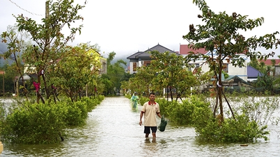
Regarding total rainfall, the meteorological agency assessed that in March and April, most areas across the country were 5-15mm below the average for the same period; in particular, the provinces from Da Nang to Binh Thuan were 20-40mm below average. In May, total rainfall in the Central, Central Highlands and South regions was 15-30% below average for the same period.
July likely storms in the East Sea
Regarding the weather forecast further, Mr. Hoang Phuc Lam said that from June to August 2024, ENSO is forecast to be likely to shift to a neutral state. From July, storms/tropical depressions are likely to appear in the East Sea and may affect the northern provinces of our country.
Also during this period, in the Northern and Central regions, heat waves and severe heat waves are likely to appear more often than the average year, so be on guard for especially severe heat waves.
At the same time, the rainy season in the North, Central Highlands and South appears in accordance with the climate law. In June - August, the Southwest monsoon tends to be stronger than average.
However, tropical storms/low pressure and southwest monsoon are likely to cause strong winds and large waves affecting activities in the East Sea; heavy rain, whirlwinds, lightning and severe heat waves can negatively affect production activities and public health.
During this period, Mr. Lam also predicted that the average temperature trend across the country would be about 0.5-1.5 degrees higher than the average.
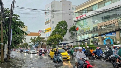
In addition, if in the previous period, rainfall was lacking in most regions across the country, from June to August, the North and Central regions were generally at levels approximately equal to the average; in particular, in July, the South Central region was about 15-30% higher, and in August, the Central Central region was 10-20% higher than the average for the same period.
In the Central Highlands and the South, rainfall in July was also about 5-15% higher.

The North is about to welcome strong cold air, the South will have continuous sunshine
Source


Comment (0)