
The National Center for Hydro-Meteorological Forecasting said that currently, in the North, a cold air mass is moving south.
Around the afternoon and night of November 17, this cold air mass will affect the Northeast, then the North Central, some places in the Northwest and the Central Central. The northeast wind inland will strengthen to level 3, coastal areas level 4.
From November 18, the Northeast and Thanh Hoa will have cold nights and early mornings. From November 20, the North and North Central regions will have cold nights and early mornings. The lowest temperature during this cold air mass in the North and North Central regions is generally 18-20 degrees Celsius, in mountainous areas it is below 15 degrees Celsius.
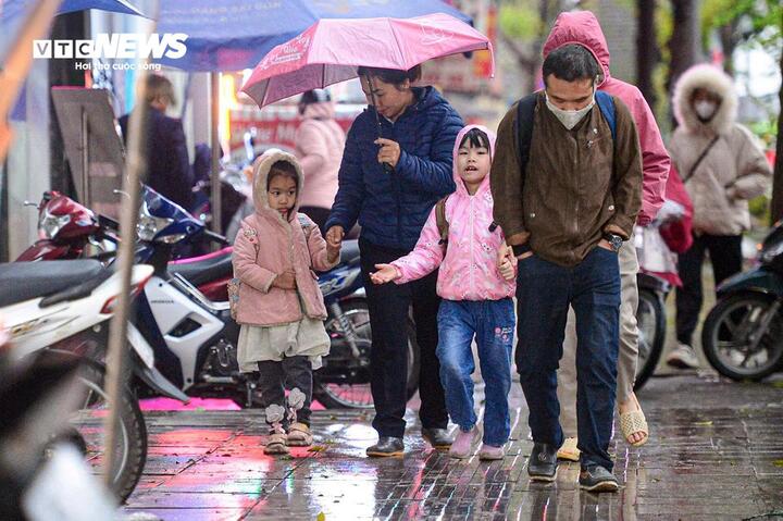
The North is about to welcome cold air, with some places having temperatures below 15 degrees Celsius. (Illustration: Vien Minh)
Due to the influence of disturbances in the upper easterly wind zone combined with cold air, from November 18-19, the North and Central Central regions will have scattered showers and thunderstorms, with some places having heavy rain.
During thunderstorms there is a possibility of tornadoes, lightning and strong gusts of wind.
Mr. Nguyen Van Huong - Head of Weather Forecast Department, National Center for Hydro-Meteorological Forecasting said that currently, storm Man-yi has strengthened to level 16, gusting over level 17, super typhoon level. Location of super typhoon Man-yi at 7:00 am in the sea east of the central Philippines. The strongest wind near the center of the super typhoon is level 16 (184-201km/h), gusting over level 17, the storm is moving in the West Northwest direction, speed 20-25km/h.
It is forecasted that in the next 24 hours, super typhoon Man-yi will move mainly northwest at a speed of about 20-25km/h and maintain a level 16 intensity. Around the afternoon of November 17, super typhoon Man-yi will make landfall in the Luzon Island area (Philippines) and gradually weaken. Around November 18, typhoon Man-yi will move into the East Sea.
"It is worth noting that the time when storm Man-yi moves into the East Sea is also the time when the East Sea is affected by a strong cold air mass. The interaction of cold air and storm Man-yi will cause many changes in the intensity and direction of storm Man-yi.
However, the most important thing to note right now is that the interaction of cold air and storm Man-yi will make the weather in the East Sea region very bad in the coming days, with strong winds, high waves and rough seas. The development of this storm is still changing, so we need to monitor closely," said Mr. Huong.
In addition to Typhoon Man-yi, there is also Typhoon Usagi active in the eastern part of the northeastern sea of the South China Sea. It is forecasted that today, November 16, Typhoon USAGI will make landfall in Taiwan (China), then weaken into a tropical depression and dissipate.
The National Center for Hydro-Meteorological Forecasting said that cold air may become active in December 2024 - February 2025 and cause severe cold spells. People need to be on guard against the possibility of prolonged severe cold spells, especially in the northern mountainous areas, accompanied by frost and ice during this time.
Severe cold spells in the North may appear widely from the second half of December (equivalent to the average of many years).
Source: https://vtcnews.vn/khong-khi-lanh-sap-tran-ve-mien-bac-co-noi-duoi-15-do-c-ar907758.html


![[Photo] Ha Giang: Many key projects under construction during the holiday season](https://vstatic.vietnam.vn/vietnam/resource/IMAGE/2025/5/1/8b8d87a9bd9b4d279bf5c1f71c030dec)


![[Photo] Binh Thuan organizes many special festivals on the occasion of April 30 and May 1](https://vstatic.vietnam.vn/vietnam/resource/IMAGE/2025/5/1/5180af1d979642468ef6a3a9755d8d51)


![[Photo] Feast your eyes on images of parades and marching groups seen from above](https://vstatic.vietnam.vn/vietnam/resource/IMAGE/2025/4/30/3525302266124e69819126aa93c41092)


Comment (0)