Warning of saline intrusion in the Mekong Delta at level 2 natural disaster
The National Center for Hydro-Meteorological Forecasting predicts that from May 1 to 10, the Southwest region will generally have little rain; hot days, with some places experiencing severe heat. Although there will not be much rain, it is important to note that there may be localized thunderstorms in the late afternoon, which may be accompanied by dangerous tornadoes, lightning, and strong gusts of wind.
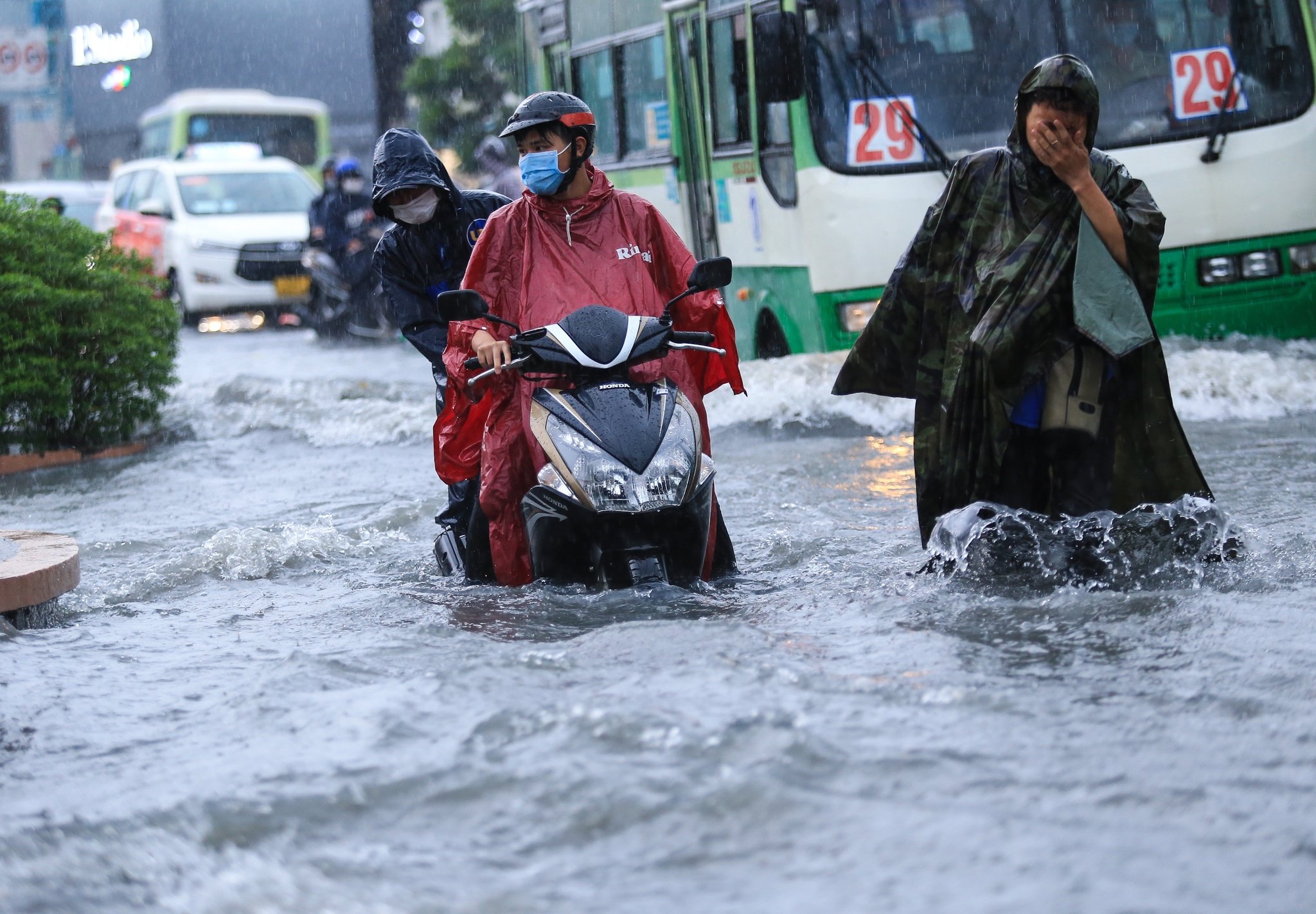
Southwest continues to have little rain in early May
The highest temperature in the Southwest region is generally from 34 - 37 degrees Celsius, higher in some places. Water levels on the Tien and Hau rivers change slowly according to the tide. The highest water level of the week in Tan Chau is 1.1 m, in Chau Doc 1.3 m, at the same level and about 0.05 m higher than the average of many years (TBNN) for the same period.
The tidal water level at Vung Tau station from May 1 to 10 fluctuated at an average level, the peak tide during this period fluctuated between 3.8 - 4.0 m, the peak tide time mainly occurred between 0 - 3 am and 13 - 16 pm the following day. From May 9 to 10, the water level at Vung Tau station tended to decrease gradually, fluctuating between 3.7 - 3.9 m.
The tidal water level of the Southwest coastal region (Rach Gia station) fluctuates at an average level, the peak tide during this period fluctuates between 0.6 - 0.9 m, appearing time is between 0 - 6 am and 16 - 22 pm every day, from May 8 - 10, the water level of Rach Gia station tends to increase gradually, fluctuating between 0.8 - 0.9 m.
Saline intrusion in the Mekong Delta tends to increase gradually at the end of the week. The highest salinity at the stations is higher than the highest salinity in May 2023. Specifically, in major rivers such as the Dong Vam Co and Tay Vam Co rivers, the salinity intrusion range is 90 - 120 km; Cua Tieu and Cua Dai rivers 40 - 50 km; Ham Luong river 50 - 53 km; Co Chien river 40 - 45 km; Hau river 40 - 50 km; Cai Lon river, the salinity intrusion range is 45 - 55 km.
Saline intrusion in the Mekong Delta is higher than the average, but not as severe as in the dry season of 2015 - 2016 and 2019 - 2020. In early May, saline intrusion in the Mekong Delta estuaries tended to decrease gradually, but remained at a high level; in particular, on the Vam Co, Cai Lon, and Cai Be rivers, saline intrusion remained high until mid-May, then gradually decreased at the end of the month.
Warning level 2 of natural disaster risk due to saline intrusion in the Mekong Delta.
6 provinces in the Central and Central Highlands regions are warned of drought at level 2.
The meteorological agency added that in the first 10 days of May, the total rainfall in the Central and Central Highlands regions was generally from 10 - 30 mm, higher in some places. The flow on the rivers continued to change slowly. The total flow on most rivers was 45 - 88% deficient; only the Tra Khuc River (Quang Ngai) was about 10% higher than the average.
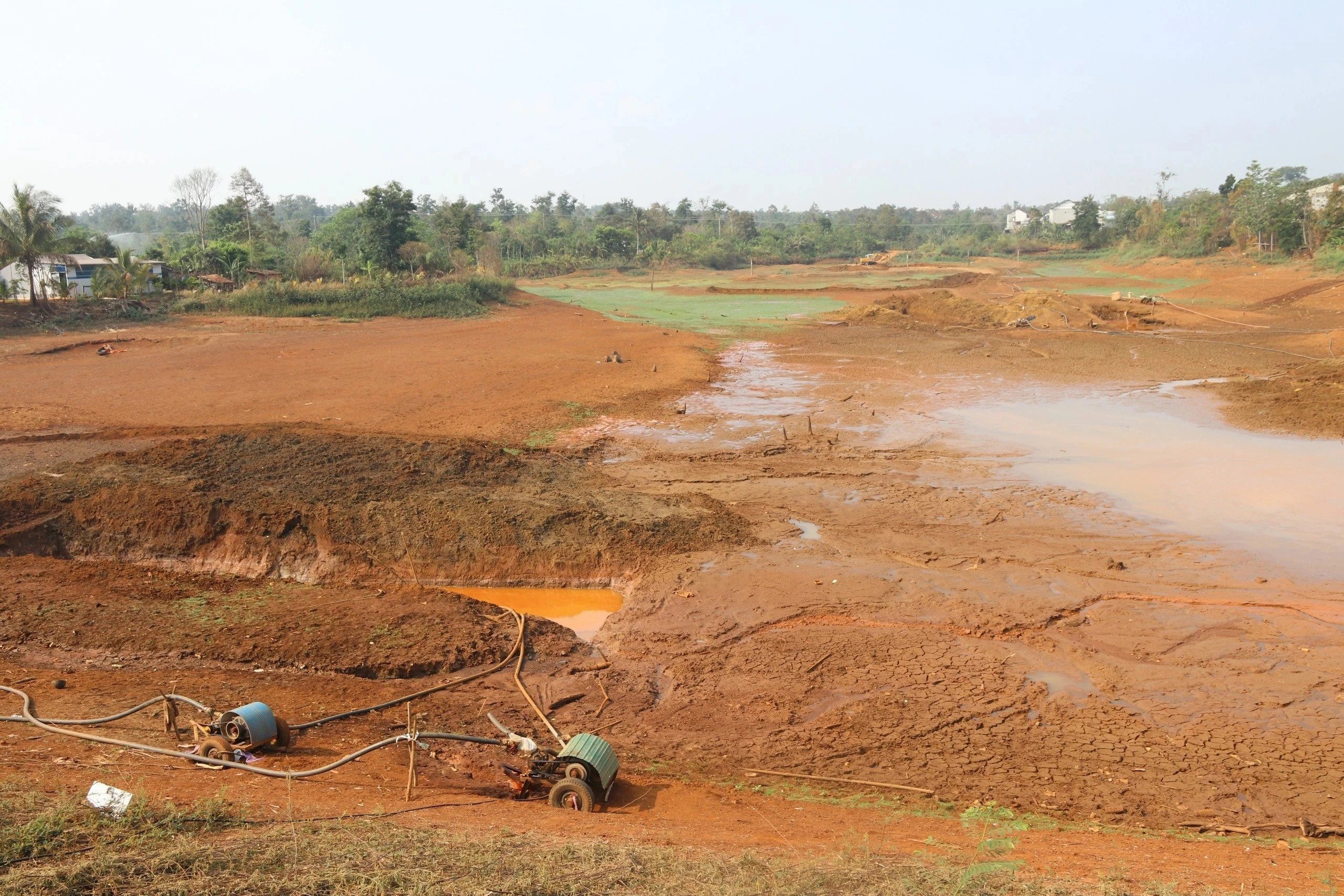
6 provinces in the Central and Central Highlands regions are warned of drought at level 2.
In the South Central region, the flow of rivers in the region continues to change slowly. The flow is generally 22 - 87% lower than the average for the same period; in An Hoa, An Khe (Gia Lai) and Song Hinh hydropower plant (Phu Yen), the flow is 12 - 29% higher than the average, and Vinh Son hydropower plant is approximately at the average level.
In the Central Highlands, river flows change slowly according to the regulation of hydroelectric plants. The total flow of rivers is generally 23 - 82% lower than the average for the same period.
Warning level of natural disaster risk due to drought in the Central Central region, Quang Tri province and northern Quang Nam is level 2, other provinces are level 1; South Central region of Binh Thuan, Ninh Thuan, Phu Yen provinces is level 2, other provinces are level 1. Central Highlands region of Gia Lai province is level 2, other provinces are level 1.
Source link


![[Photo] Special supplement of Nhan Dan Newspaper spreads to readers nationwide](https://vstatic.vietnam.vn/vietnam/resource/IMAGE/2025/4/28/0d87e85f00bc48c1b2172e568c679017)
![[Photo] Readers in Dong Nai are excited about the special supplement of Nhan Dan Newspaper](https://vstatic.vietnam.vn/vietnam/resource/IMAGE/2025/4/28/82cdcb4471c7488aae5dbc55eb5e9224)
![[Photo] Signing ceremony of cooperation and document exchange between Vietnam and Japan](https://vstatic.vietnam.vn/vietnam/resource/IMAGE/2025/4/28/e069929395524fa081768b99bac43467)
![[Photo] National Assembly Chairman Tran Thanh Man meets with Japanese Prime Minister Ishiba Shigeru](https://vstatic.vietnam.vn/vietnam/resource/IMAGE/2025/4/28/2517da8f7b414614b8ed22cd6c49c3f6)
![[Photo] People lined up in the rain, eagerly receiving the special supplement of Nhan Dan Newspaper](https://vstatic.vietnam.vn/vietnam/resource/IMAGE/2025/4/28/ce2015509f6c468d9d38a86096987f23)
![[Photo] A long line of young people in front of Nhan Dan Newspaper, recalling memories of the day the country was reunified](https://vstatic.vietnam.vn/vietnam/resource/IMAGE/2025/4/28/4709cea2becb4f13aaa0b2abb476bcea)























Comment (0)