
After a period of implementation, the agricultural development project and the digital agricultural map system of An Duong district have been completed and applied.
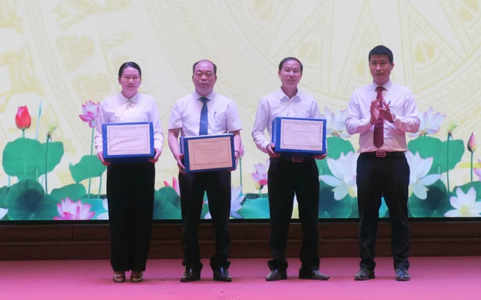
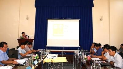
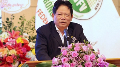
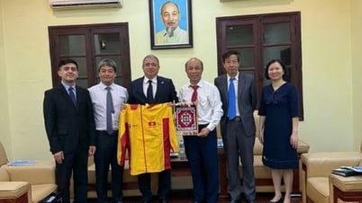
Dr. Hoang Hiep (far right), Director of the Green Growth Research Institute (Vietnam National Academy of Agriculture) hands over the project to a representative of An Duong district. Photo: Dinh Muoi.
The project was implemented by An Duong district ( Hai Phong city) in coordination with the Green Growth Research Institute ( Vietnam National Academy of Agriculture), including 3 thematic reports and 7 specialized maps, carried out in 6 months (from August 2023 to January 2024). An Duong district is the first locality in Hai Phong to implement and complete this project.
The project focuses on building a database on the current status, land quality and land use potential; building an online management system for land resource data and agricultural planning in An Duong district; planning for the development of ecological urban agriculture associated with tourism development in the area until 2030, with a vision to 2045.
During the project implementation process, sectors, localities and units have closely coordinated and organized the completion of many contents, with a large amount of work such as: Organizing the collection of information and documents; investigating, monitoring, taking water and air samples, etc.
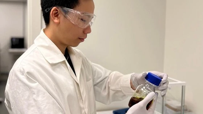
The specialized units have collected nearly 500 agricultural soil samples, assessing the quality of water and air. After collection, the samples were analyzed for quality indicators according to standards.
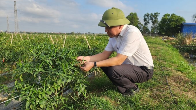
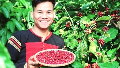
Chili growing model in An Hoa commune, An Duong district. Photo: Dinh Muoi.
In addition, the survey and assessment of the current status of agricultural land use, assessment of chain linkages, product lines, current status of infrastructure serving agricultural production, current status of application of science and technology and digital transformation in agricultural production, and results of implementing the new rural construction program in 16 communes and towns in An Duong district were also conducted.
Through environmental sampling and analysis activities, the Green Growth Research Institute has conducted internal processing, analysis, assessment of land potential, suitability, analysis, forecasting of development trends, and construction of a system of maps to serve the planning and development orientation of agricultural production areas effectively and sustainably.
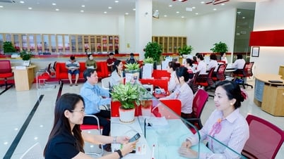
According to the People's Committee of An Duong district, the project was developed systematically and scientifically, in accordance with the local planning and the general development planning of Hai Phong city. The highlight of the project is that all data, figures and maps have been digitized, creating an online data system connected to the district's online DSS system, allowing convenient and easy access and exploitation of information to serve the management agency in making decisions on selecting production areas and suitable agricultural production plans.
Mr. Le Van Cuong - Vice Chairman of An Duong District People's Committee said that in recent years, along with the task of building district administrative units and urban development, the district has prioritized land planning for agricultural development and preserving traditional craft villages.
On the other hand, the locality has coordinated with departments and branches of Hai Phong city to restore and propagate Dong Du oranges, Hai Duong flowers in Dang Cuong commune, develop gladiolus flowers in Dong Thai commune..., and at the same time implement the conversion of crop structure with a series of effective agricultural production models.
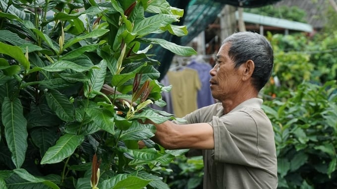
Developing the cultivation of camellias in Dang Cuong commune (An Duong district) is one of the models that will be piloted under the project. Photo: Dinh Muoi.
However, in response to the requirements of urban development, the agricultural land area in An Duong district is gradually shrinking, agricultural production is still lacking in linkages, fragmented, backward, and low economic efficiency. Currently, agricultural products in the area have few regional characteristics and production is affected by changes in weather, climate, epidemics, environmental pollution, etc., so assessing the entire current status of the agricultural sector to orient the planning for agricultural development is extremely important and urgent.
In the immediate future, the project will pilot a number of agricultural production models based on the results of analysis and assessment of the current status and potential of land such as: High-quality flower production model combined with eco-tourism in Tan Tien commune; high-quality rice cultivation model in Bac Son commune; mushroom production model in Hong Phong commune; model of growing vegetables and fruits in greenhouses according to VietGAP standards in An Hoa commune; model of producing new potato varieties with high yield and quality in Tan Tien, An Hong, Dai Ban communes...
“With the widely published digital map system, people and businesses can easily grasp land potential and planning information, thereby attracting organizations, individuals and businesses to invest in agricultural production effectively and sustainably,” said Mr. Le Van Cuong, Vice Chairman of An Duong District People's Committee.
| An Duong district currently has nearly 5 thousand hectares of agricultural land with an average annual production value recently reaching over 1 trillion VND. With fertile land and abundant water resources, it is a favorable condition for An Duong district to develop a modern, advanced, high-quality agriculture. |
Dinh Muoi

![[Photo] Prime Minister Pham Minh Chinh holds talks with Prime Minister of the Kingdom of Thailand Paetongtarn Shinawatra](https://vphoto.vietnam.vn/thumb/1200x675/vietnam/resource/IMAGE/2025/5/16/23b5dd1e595d429491a54e3c1548fb79)
![[Photo] Welcoming ceremony for Prime Minister of the Kingdom of Thailand Paetongtarn Shinawatra on official visit to Vietnam](https://vphoto.vietnam.vn/thumb/1200x675/vietnam/resource/IMAGE/2025/5/16/cdd9e93739c54bb2858d76c3b203b437)

![[Photo] The Prime Ministers of Vietnam and Thailand witnessed the signing ceremony of cooperation and exchange of documents.](https://vphoto.vietnam.vn/thumb/1200x675/vietnam/resource/IMAGE/2025/5/16/935407e225f640f9ac97b85d3359c1a5)


Comment (0)