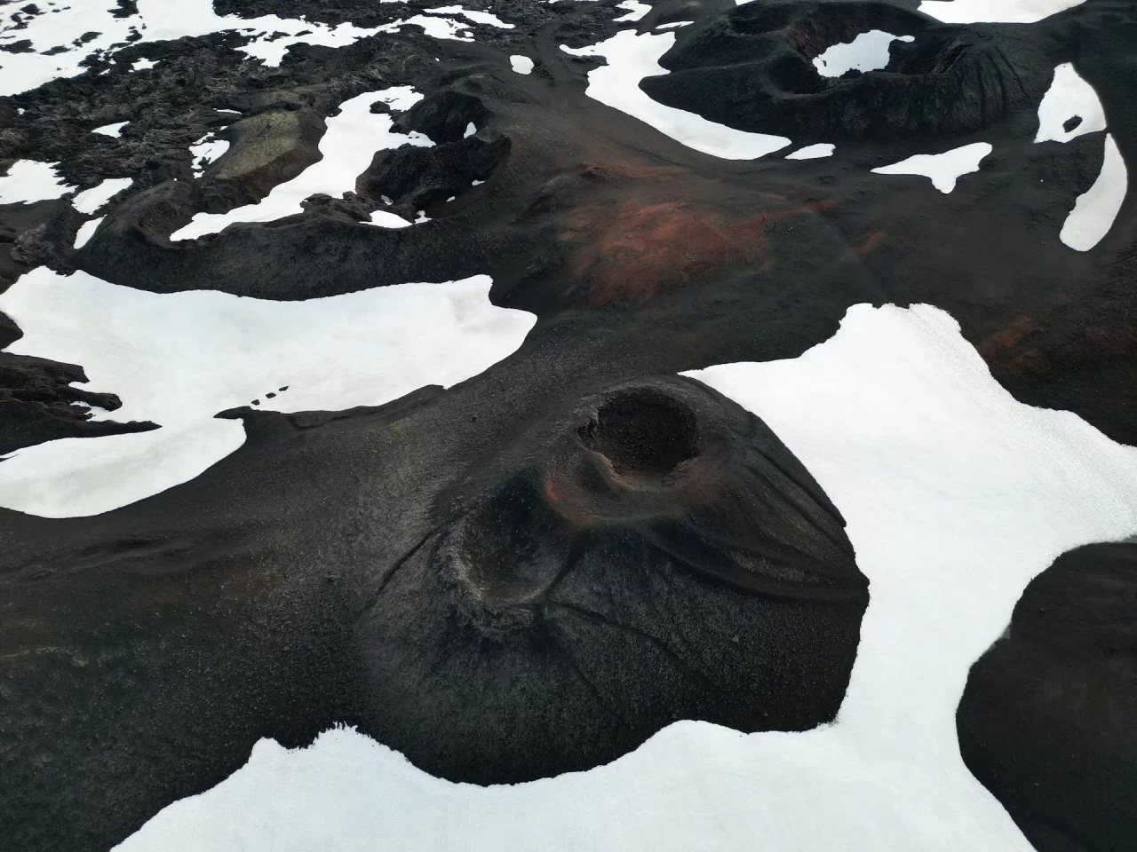
 Askja is a volcano located in the remote highlands of Iceland. Askja is located in the Odadahraun lava field, a vast desert-like wilderness that covers 5,000 square kilometers (2,000 square miles) of Vatnajokull National Park. Pictured: Craters from the 1961 eruption of Askja. (Source: Reuters)
The Republic of Iceland, also known as Iceland, is an island country in Europe, with an area of 103,000 km2 and a population of only about 337,000 (according to Worldometers).
Located in the middle of the Atlantic Ocean, bordering the Arctic Circle, Iceland has a very cold climate with many glaciers and ice mountains.
According to National Geographic , about 11% of Iceland's area is covered by permanent ice. The Vatnajökull glacier in this country is the largest in Europe and the third largest in the world (after glaciers in Antarctica and Greenland) with a surface area of about 8,100 km2.
Besides glaciers and icebergs, Iceland also has many volcanoes, hot springs and huge geothermal resources because it is located on the Atlantic volcanic belt. According to Reference , because of the glaciers and volcanoes together, Iceland is called the land of fire and ice.
Admire the unique beauty of Iceland in the frames posted by Reuters .
 The white landscape of Fjallsarlon, one of Iceland's two most famous glaciers, next to Jokulsarlon. (Source: Reuters)
 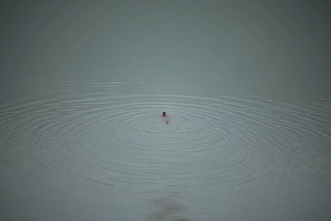 Lake Askja is Iceland's deepest lake, at over 200 metres (656 ft) deep. It was formed in 1875 when a powerful eruption occurred in the southern caldera of the same name. Pictured: Tourists swim in the lake formed in the Askja volcano's crater in Vatnajokull National Park, Iceland. (Source: Reuters)
 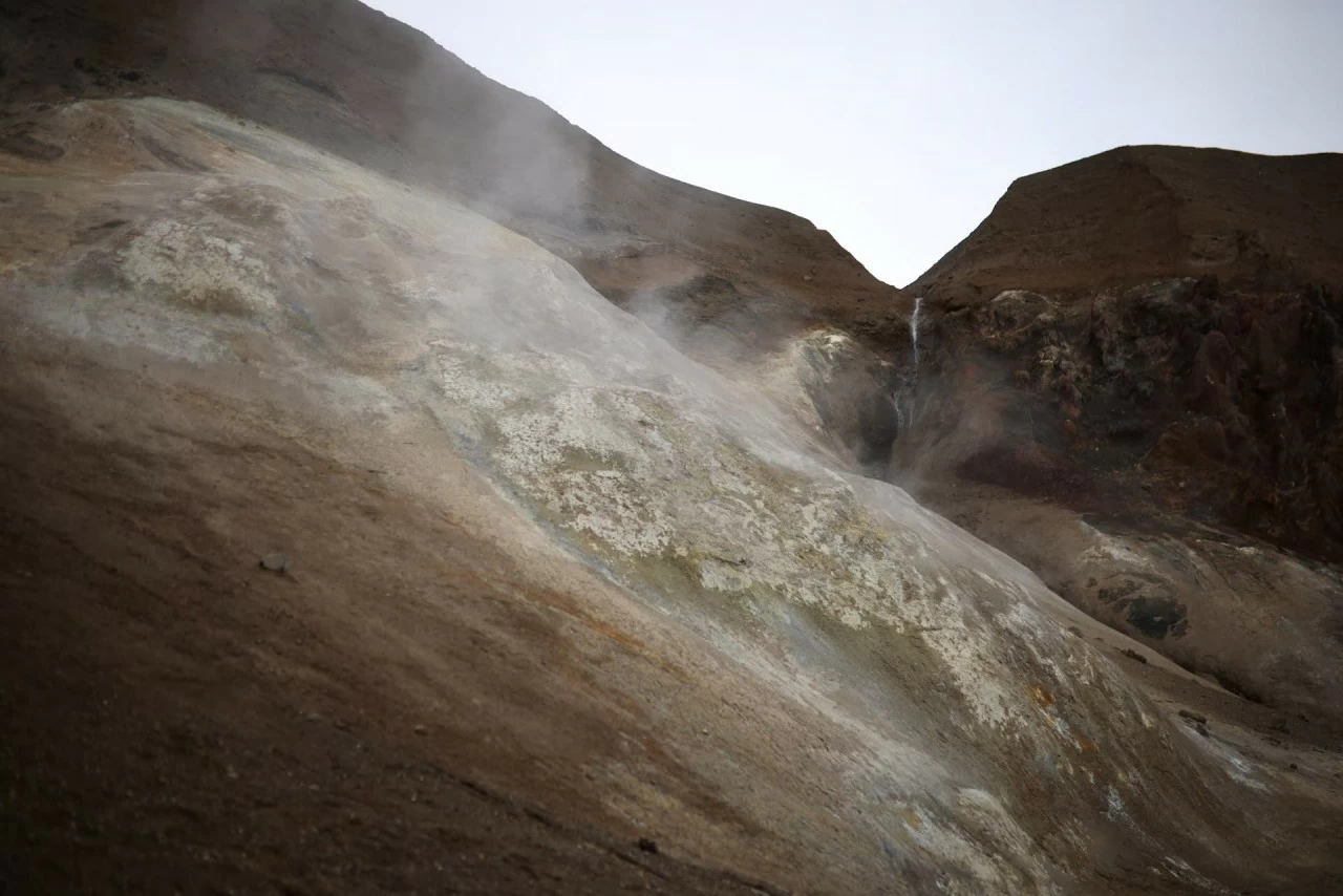 Volcanic gases escape from vents at a crater of the Askja volcano. (Source: Reuters)
  Gas bubbles rise from a heated pool of water at the Askja volcano. (Source: Reuters)
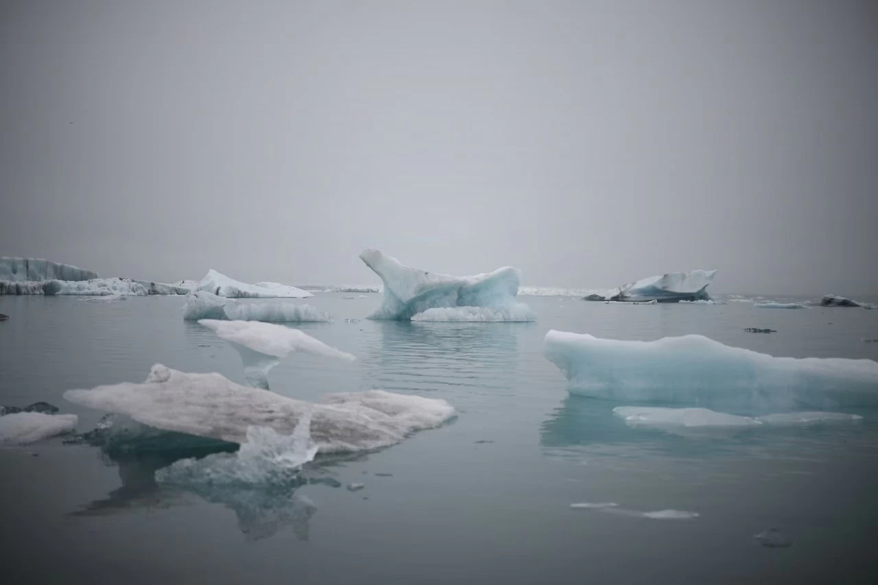
 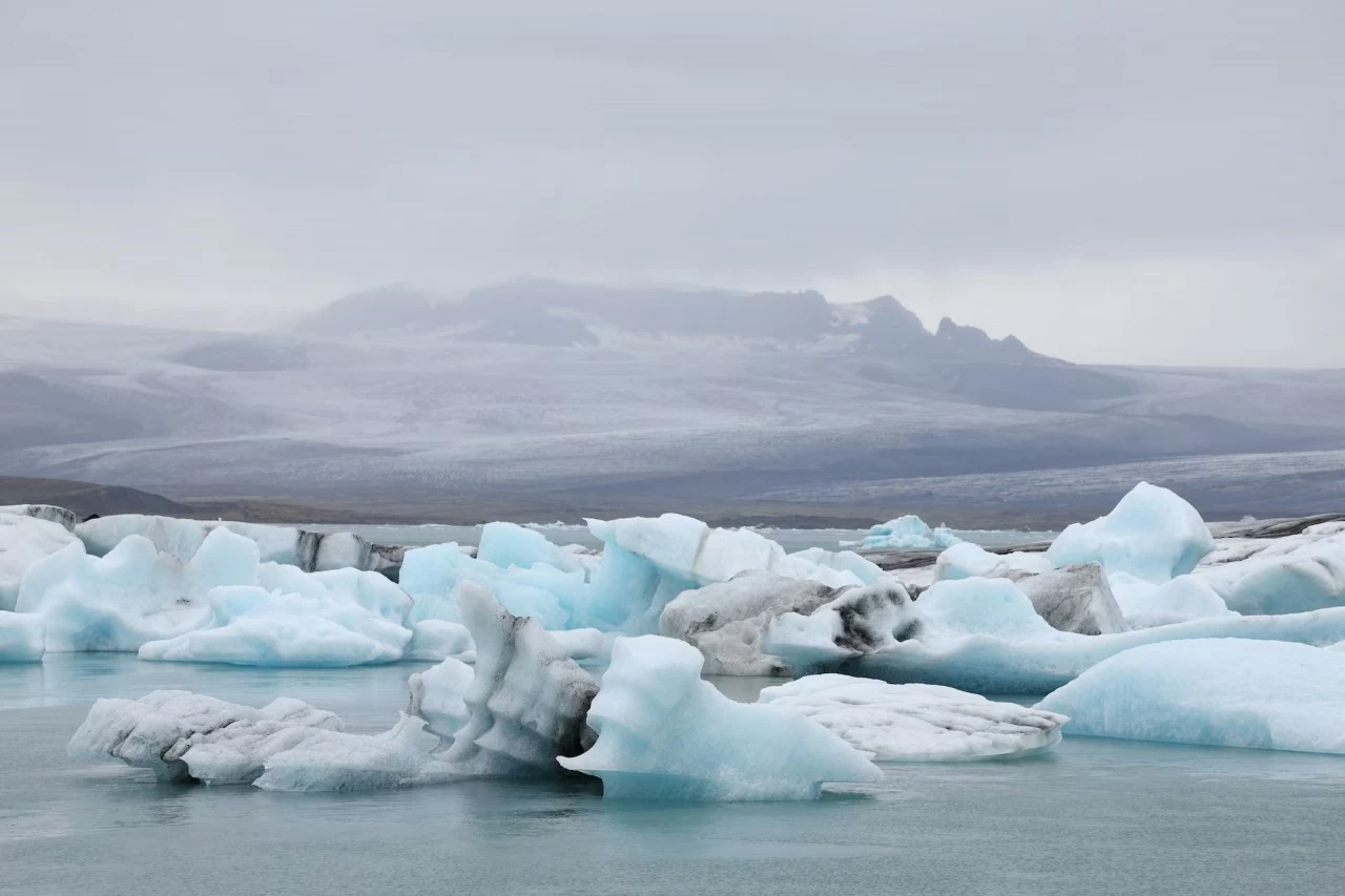 Strangely shaped icebergs on the Jokulsarlon glacier, southern Iceland. (Source: Reuters)
 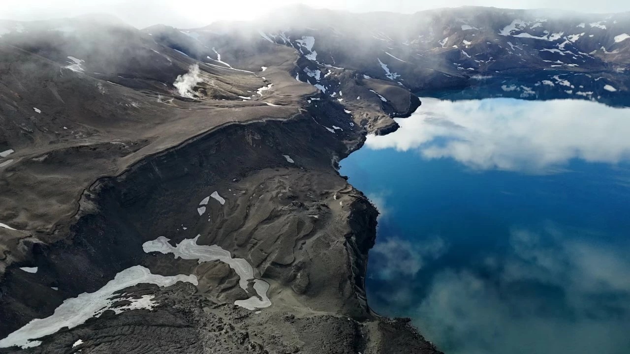 Lake Oskjuvatn was created during the 1875 eruption of the Askja volcano, in Vatnajokull National Park, Iceland. (Source: Reuters)
  Pieces of ice float on Fjallsarlon lake in the Fjallsjokull glacier, southern Iceland. (Source: Reuters)
  The landscape around Askja volcano looks like an alien planet, with its desert-like terrain covered in ash and lava. (Source: Reuters)
 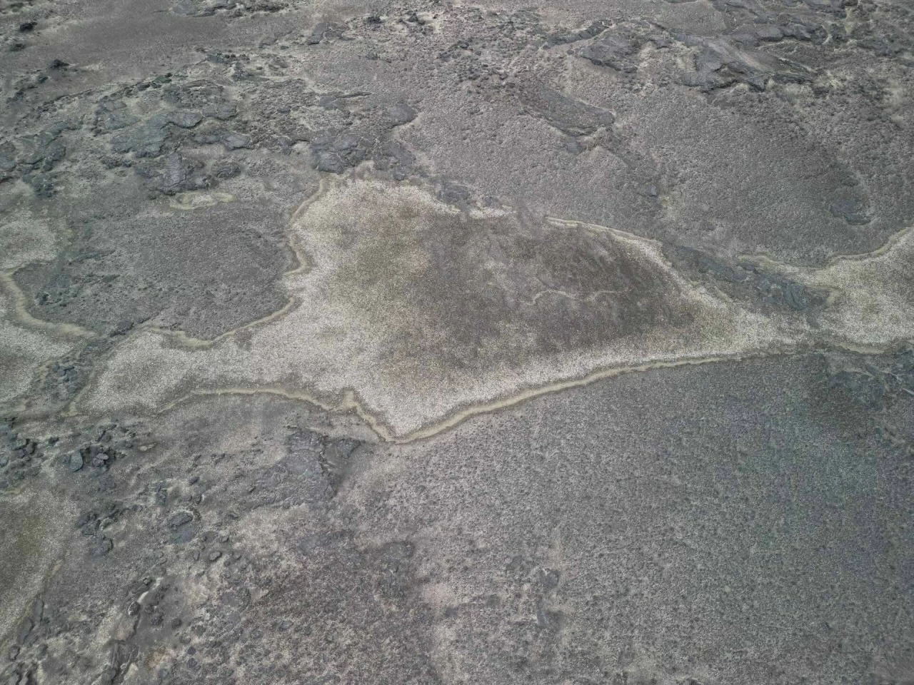 In fact, NASA's Apollo program used this area to prepare astronauts for their missions to the moon. (Source: Reuters)
 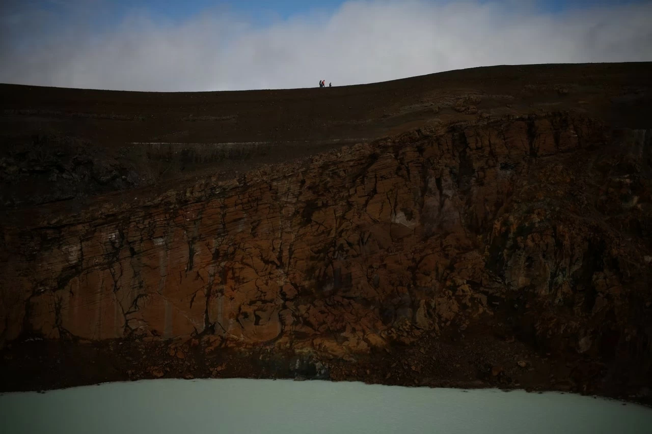 NASA believes the landscape and geology may be similar to the moon. In 2015, some of these astronauts returned to Askja. Pictured: Tourists walk along the edge of the Viti Crater of the Askja volcano. (Source: Reuters)
 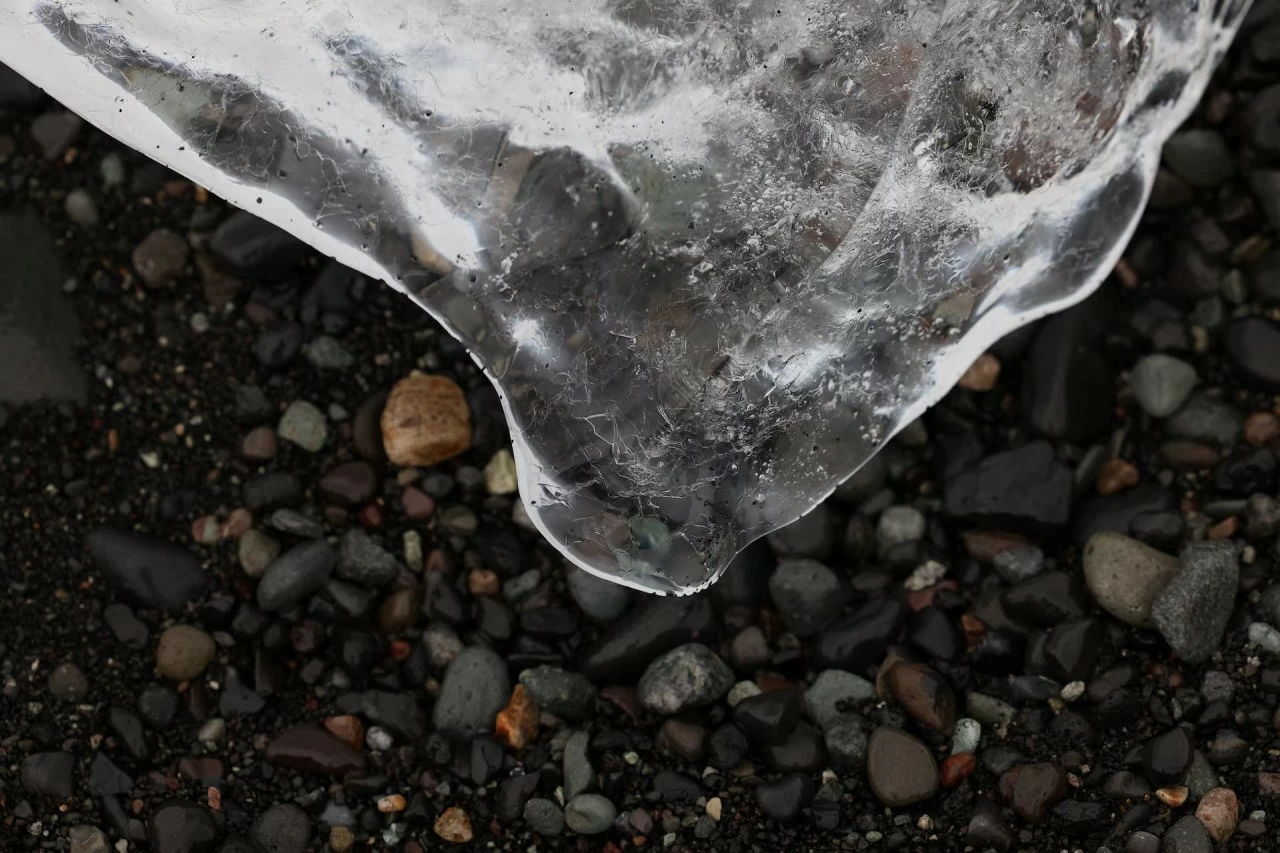 A melting iceberg at Diamond Beach, near the Jokulsarlon glacier in southern Iceland.
  Lake Viti was formed at the end of the Askja volcano eruption in 1875. The water temperature here varies, depending on the amount of meltwater from glaciers flowing into the crater. The average temperature is around 30°C. The deepest area in the center of the crater is more than 8 meters. (Source: Reuters)
 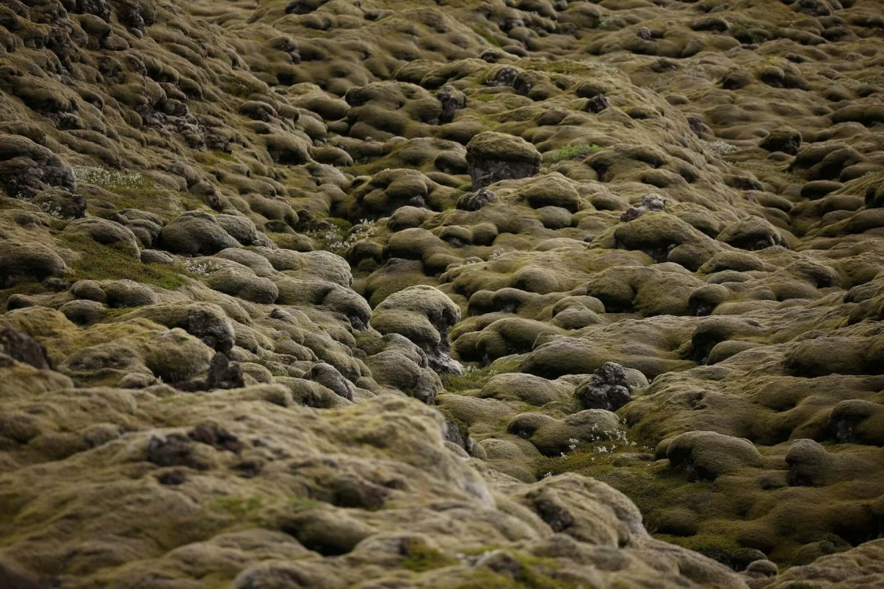 Once the training ground for the Apollo 11 crew, the spectacular Eldhraun moss carpet was formed between 1783 and 1784, following the most devastating volcanic eruption in Iceland's history. (Source: Reuters)
 Icebergs, chunks of ice that have broken off from a larger ice mass, float on the surface of the Jokulsarlon glacier in southern Iceland. (Source: Reuters)
 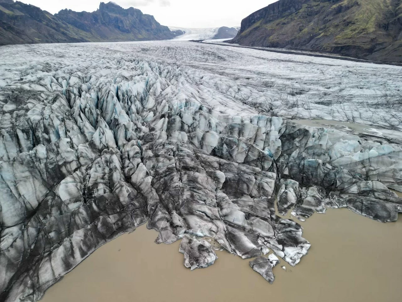 Skaftafellsjokull, a glacier that broke away from the Vatnajokull ice cap, in southern Iceland. (Source: Reuters)
Source: https://baoquocte.vn/du-lich-iceland-tram-tro-truoc-khung-canh-sieu-thuc-nhu-hanh-tinh-la-o-vung-dat-lua-va-bang-292190.html


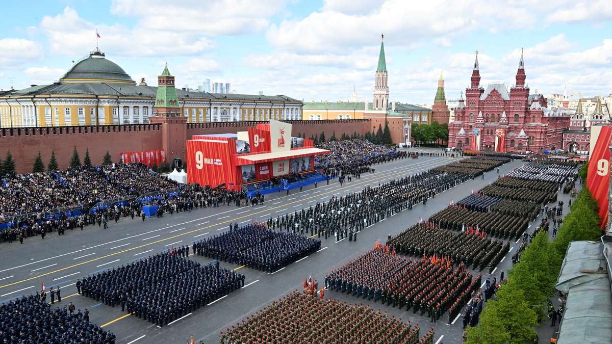
![[Photo] Russian military power on display at parade celebrating 80 years of victory over fascism](https://vphoto.vietnam.vn/thumb/1200x675/vietnam/resource/IMAGE/2025/5/9/ce054c3a71b74b1da3be310973aebcfd)
![[Photo] Magical moment of double five-colored clouds on Ba Den mountain on the day of the Buddha's relic procession](https://vphoto.vietnam.vn/thumb/1200x675/vietnam/resource/IMAGE/2025/5/9/7a710556965c413397f9e38ac9708d2f)
![[Photo] General Secretary To Lam and international leaders attend the parade celebrating the 80th anniversary of the victory over fascism in Russia](https://vphoto.vietnam.vn/thumb/1200x675/vietnam/resource/IMAGE/2025/5/9/4ec77ed7629a45c79d6e8aa952f20dd3)
![[Photo] Prime Minister Pham Minh Chinh chairs a special Government meeting on the arrangement of administrative units at all levels.](https://vphoto.vietnam.vn/thumb/1200x675/vietnam/resource/IMAGE/2025/5/9/6a22e6a997424870abfb39817bb9bb6c)


Comment (0)