
TPO - The Hanoi People's Committee has just issued decisions to adjust the planning of planning blocks in Thanh Xuan district, Long Bien district and Dan Phuong district.
Accordingly, the Hanoi People's Committee has issued a decision approving the local adjustment of the urban zoning plan H2-3, scale 1/2000 in part of the planning block C2-CQ2 in Khuong Dinh ward (Thanh Xuan district).
The area of local planning adjustment has the Northwest bordered by the People's Committee of Khuong Dinh Ward, the Military Art Troupe of Military Region 2 and the existing residential area; the remaining sides border the planning road. The total land area for planning adjustment study is about 1.26 ha.
Before being adjusted, the planned land plot had the function of land for Agencies, Research Institutes, and Training Schools. Now it has been adjusted to the function of land for schools.
 |
Urban zoning plan H2-3, scale 1/2000, belongs to Thanh Xuan, Hoang Mai, Ha Dong districts and Thanh Tri district. |
Previously, the Hanoi People's Committee issued a Decision approving the H2-3 urban zoning plan, scale 1/2000, in Thanh Xuan, Hoang Mai, Ha Dong districts and Thanh Tri district (Hanoi).
Urban subdivision H2-3 is located in the expanded inner city area, one of the four urban subdivisions in the West and South of Ring Road 2. Urban subdivision H2-3 plays the role of a high-quality city-level cultural, administrative, service and commercial center. At the same time, it is an area for developing new urban areas with modern architecture and an area to reduce the load on the historic inner city area.
The Hanoi People's Committee also issued a Decision approving the local adjustment of the urban subdivision planning S1, scale 1/5000 in part of the planning block coded A6 (land use and traffic planning part), in Tan Hoi commune (Dan Phuong district).
The area for local planning adjustment is located in the Northwest, adjacent to a 40m wide planned road, and in the Northeast, adjacent to a 24m wide planned road. The Southeast borders a 30m wide planned road, and in the Southwest, adjacent to a 20.5m wide planned road. The total land area for planning adjustment research is about 7.03 ha.
Accordingly, the city adjusted the land function of junior high schools, high schools, part of the land for newly built housing groups and traffic routes to the land function of general schools with many levels of advanced, modern, high-quality education.
Regarding traffic planning, locally move the traffic route section to the Northwest to expand the land area of the multi-level general school, the route direction and scale of the remaining traffic routes around the land remain the same according to the approved planning.
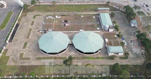
The Hanoi People's Committee also issued a decision approving the local adjustment of the planning of the land plot coded CX2 and the traffic route around the land plot in the Detailed Planning of Sai Dong New Urban Area, scale 1/500.
The location of the locally adjusted planning land plot is at land block HT in the administrative boundaries of Sai Dong and Phuc Dong wards, Long Bien district.
The land plot HT is determined to have the function of technical infrastructure land (Sai Dong water supply station). Now, the location, boundary scope, land use function, and architectural planning criteria of the land plot are kept unchanged according to the approved detailed planning. Propose to adjust the function of the project from a water supply station to a water booster pumping station; adjust the layout of the projects at the land plot marked HT to match the technological line of the water booster pumping station.
Source: https://tienphong.vn/ha-noi-dieu-chinh-quy-hoach-o-dat-o-cac-quan-huyen-post1638038.tpo
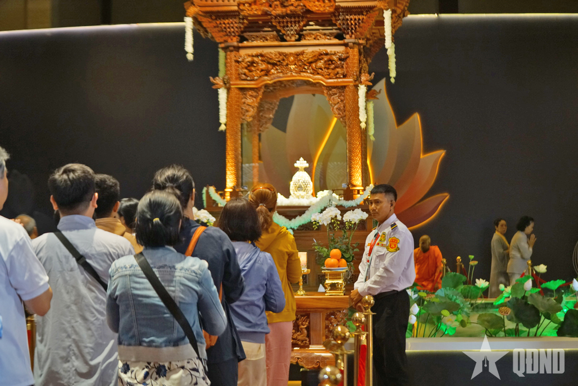
![[Photo] Thousands of Buddhists wait to worship Buddha's relics in Binh Chanh district](https://vstatic.vietnam.vn/vietnam/resource/IMAGE/2025/5/3/e25a3fc76a6b41a5ac5ddb93627f4a7a)


Comment (0)