
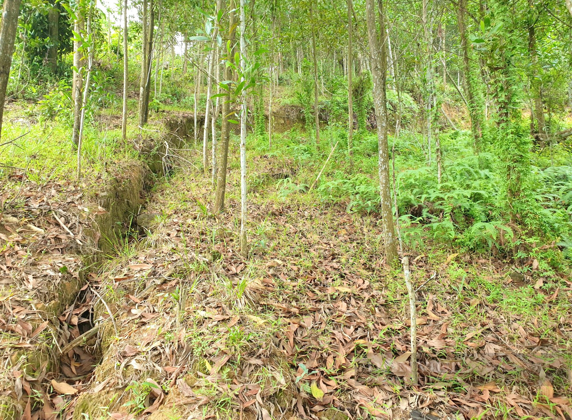
According to Dan Viet reporters, the Cay Suong hill area in Quy Dat town (Minh Hoa district, Quang Binh province) has very steep terrain, complex geology, the height from the natural ground of the houses to the top of the hill is about 65-70 m.
Clip: Close-up of Cay Suong hill area, where 40 households live in residential group 8, Quy Dat town (Minh Hoa district, Quang Binh province).
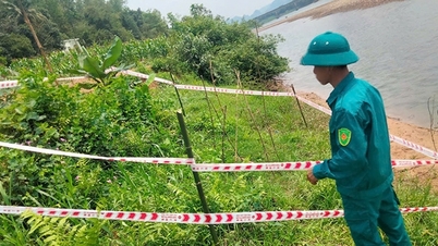
In the Cay Suong hill area, for many years, large, long cracks have appeared and the land below is increasingly collapsing, posing many potential dangers to people living nearby.
Cracks and landslides on Cay Suong hill in residential group 8, Quy Dat town (Minh Hoa district, Quang Binh province).
After storm No. 4, prolonged heavy rain caused this hill area to continue to experience landslides and cracks with a total length of about 200m; in some locations, rocks and soil showed signs of landslides close to people's houses.
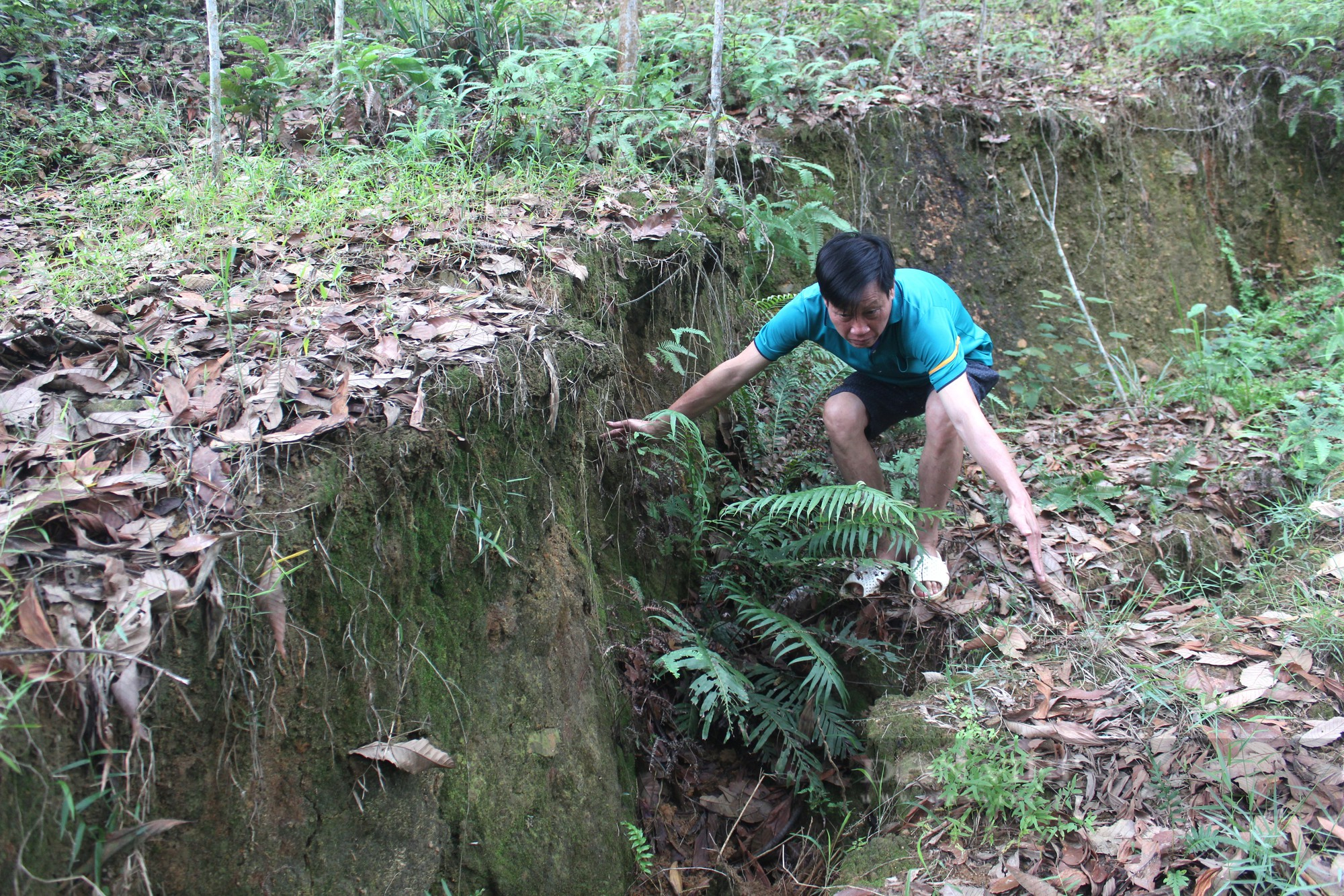
There is a crack and landslide nearly 2m high, posing many dangers to 40 households living under Cay Suong hill in residential group 8, Quy Dat town (Minh Hoa district, Quang Binh province).
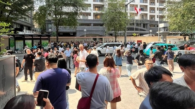
To ensure the safety of the people, the local government in Quang Binh had previously evacuated 40 households with about 200 people in residential group 8, Quy Dat town out of the dangerous area.
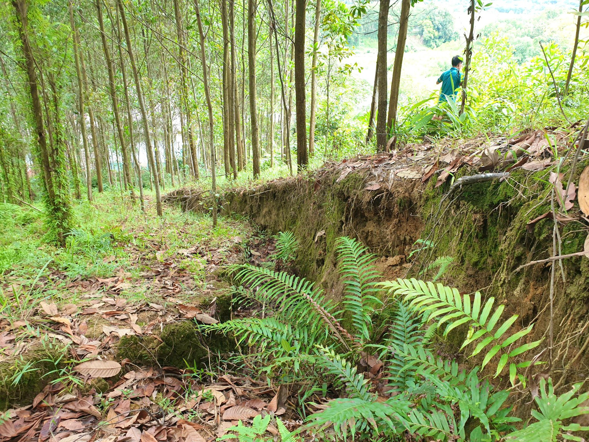
The landslide area in Cay Suong hill has a very large volume.
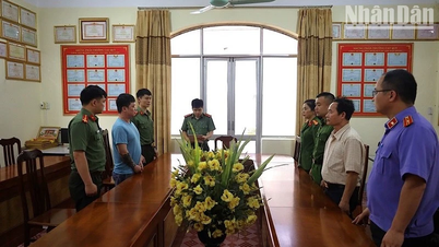
Regarding the landslide at Cay Suong hill, Vice Chairman of Minh Hoa District People's Committee Dinh Tien Dung said that Quang Binh province had previously approved the investment policy for the first phase of the anti-erosion embankment project with a total investment of 17.5 billion VND.
However, due to insufficient funding compared to the investment scale, it has not been implemented. Minh Hoa District has proposed to adjust the project investment policy to 50 billion VND in order to promptly implement the project.
Source: https://danviet.vn/can-canh-khu-vuc-doi-cay-suong-noi-tinh-quang-binh-vua-cong-bo-tinh-huong-khan-cap-ve-thien-tai-20240924222319602.htm
![[Photo] General Secretary To Lam begins official visit to Russia and attends the 80th Anniversary of Victory over Fascism](https://vphoto.vietnam.vn/thumb/1200x675/vietnam/resource/IMAGE/2025/5/8/5d2566d7f67d4a1e9b88bc677831ec9d)

![[Photo] President Luong Cuong presents the decision to appoint Deputy Head of the Office of the President](https://vphoto.vietnam.vn/thumb/1200x675/vietnam/resource/IMAGE/2025/5/8/501f8ee192f3476ab9f7579c57b423ad)
![[Photo] National Assembly Chairman Tran Thanh Man chairs the meeting of the Subcommittee on Documents of the First National Assembly Party Congress](https://vphoto.vietnam.vn/thumb/1200x675/vietnam/resource/IMAGE/2025/5/8/72b19a73d94a4affab411fd8c87f4f8d)
![[Photo] General Secretary concludes visit to Azerbaijan, departs for visit to Russian Federation](https://vphoto.vietnam.vn/thumb/1200x675/vietnam/resource/IMAGE/2025/5/8/7a135ad280314b66917ad278ce0e26fa)
![[Photo] Prime Minister Pham Minh Chinh meets with the Policy Advisory Council on Private Economic Development](https://vphoto.vietnam.vn/thumb/1200x675/vietnam/resource/IMAGE/2025/5/8/387da60b85cc489ab2aed8442fc3b14a)


![[Photo] Prime Minister Pham Minh Chinh talks on the phone with Singaporean Prime Minister Lawrence Wong](https://vphoto.vietnam.vn/thumb/402x226/vietnam/resource/IMAGE/2025/5/8/e2eab082d9bc4fc4a360b28fa0ab94de)


Comment (0)