
Ministry of Transport informs about the marking of the North-South high-speed railway
Voters in Hanoi City proposed to soon set up boundary markers for the North-South high-speed railway to publicize the protection area of railway works and the railway traffic safety corridor.
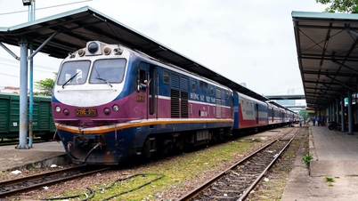
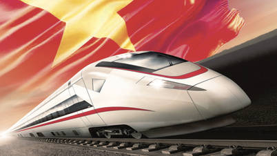
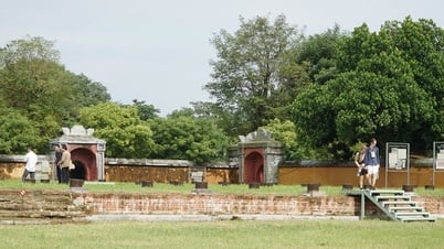
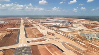
 |
| Illustration photo. |
The Ministry of Transport (MOT) has just sent an official dispatch to the National Assembly Delegation of Hanoi City regarding the implementation of the North-South high-speed railway project.
Previously, through the People's Petition Committee, voters of Hanoi City requested the Ministry of Transport to soon prepare a profile of the 1/500 scale route plan for the North-South high-speed railway project, and to deploy the installation of boundary markers of the high-speed railway traffic safety corridor to publicize the protection scope of the railway works and the railway traffic safety corridor so that people on both sides of the railway can feel secure in their production and business activities.
Regarding this issue, the Ministry of Transport said that according to the National Master Plan for the period 2021 - 2030, with a vision to 2050 and the Railway Network Plan for the period 2021 - 2030, with a vision to 2050, the high-speed railway line on the North - South axis is determined to have a double-track scale, 1,435 mm gauge with a length of about 1,545 km, with an investment roadmap before 2030.
Currently, the Ministry of Transport has completed the project's Pre-Feasibility Study Report and sent it to the State Appraisal Council for appraisal according to regulations as a basis for submitting to the National Assembly for consideration and approval of the investment policy at the 8th Session of the 15th National Assembly.
After the project is approved by the competent authority for investment policy, the Ministry of Transport will coordinate with the Hanoi People's Committee to deploy the marking of the project's protection area and the traffic safety corridor of the route and station according to regulations, as a basis for land fund management, so that people can feel secure in production and business as recommended by voters.
According to the proposal of the Ministry of Transport, the high-speed railway project on the North-South axis passes through 20 provinces and cities on the North-South economic corridor, starting at Ngoc Hoi station, Thanh Tri district, Hanoi; ending at Thu Thiem station, Thu Duc city, Ho Chi Minh city.
The route passes through 20 provinces/cities: Hanoi, Ha Nam, Nam Dinh, Ninh Binh, Thanh Hoa, Nghe An, Ha Tinh, Quang Binh, Quang Tri, Thua Thien Hue, Da Nang, Quang Nam, Quang Ngai, Binh Dinh, Phu Yen, Khanh Hoa, Ninh Thuan, Binh Thuan, Dong Nai and Ho Chi Minh City.
The project has a main line length of about 1,541 km, double track, 1,435 mm gauge, electrified; infrastructure designed for a speed of 350 km/h, axle load of 22.5 tons/axle; arrangement of 23 passenger stations (planning 3 potential passenger stations); 5 freight stations; 5 passenger train depots, 4 freight train depots; 40 infrastructure maintenance stations.
Upon completion, the high-speed railway on the North-South axis will have the capacity to accommodate approximately 133.5 million passengers/year (for North-South direct trains); approximately 106.8 million passengers/year (for regional passenger trains); and freight transport of approximately 21.5 million tons of goods/year (not including the capacity of 18.5 million tons/year of the existing railway).
The total land requirement of the Project is estimated at about 10,827 hectares, including 894 hectares of residential land; 6,309 hectares of agricultural land; 30 hectares of non-agricultural production land; 2,567 hectares of forest land; 1,027 hectares of other land (traffic, rivers, streams, unused land...).


Comment (0)