
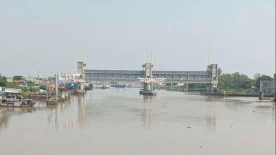
TPO - The water level in rivers and canals in Ho Chi Minh City rose during the high tide of the 15th day of the 8th lunar month, causing many roads to be deeply flooded, making traffic difficult for people.
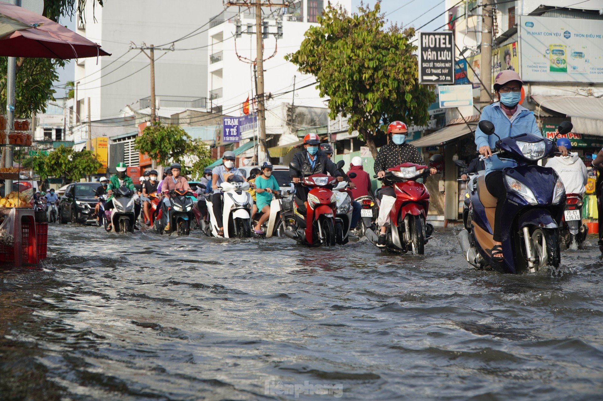 |
From around 5:00 p.m. on September 19, water levels in rivers, canals, and streams in Ho Chi Minh City rose rapidly following the high tide of the 15th day of the 8th lunar month. |
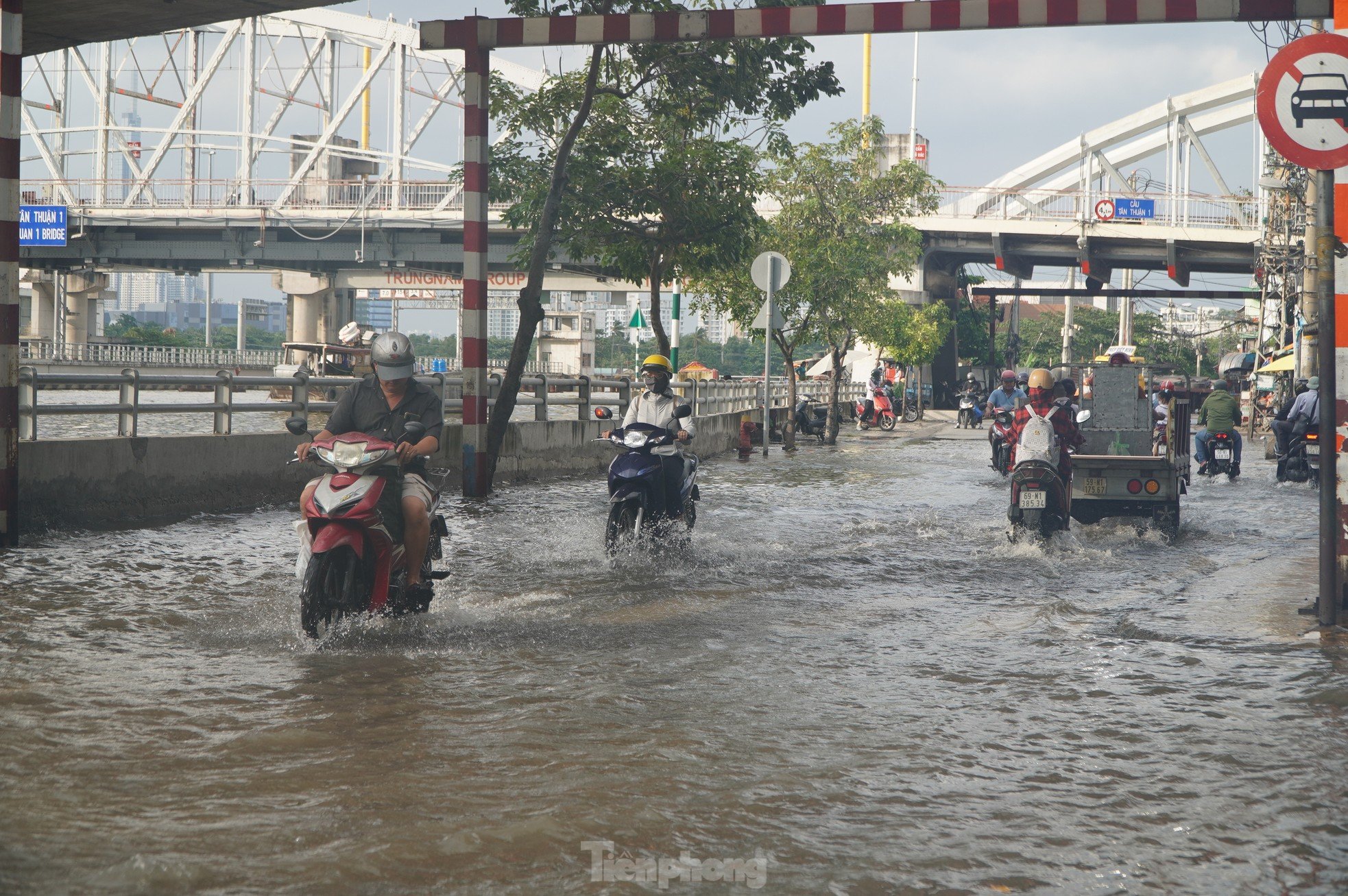 |
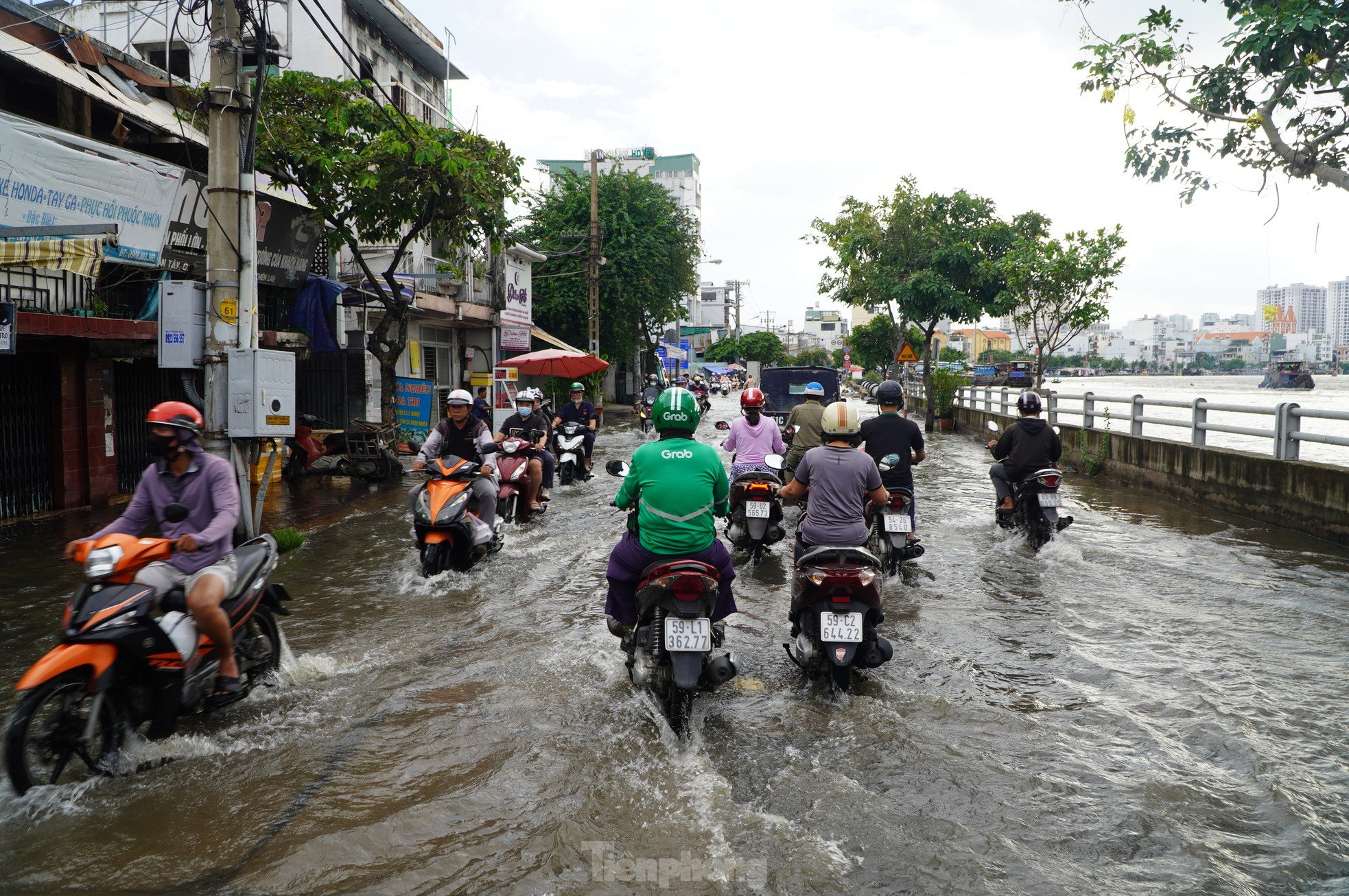
According to the reporter's records, some low-lying, riverside roads in Ho Chi Minh City such as Tran Xuan Soan, Huynh Tan Phat, Nguyen Thi Thap (District 7), Nguyen Ngoc Cung (District 8), National Highway 50 (Binh Chanh District), Le Van Luong, Nguyen Binh, Dao Su Tich (Nha Be) were flooded, making traffic through the area difficult. |
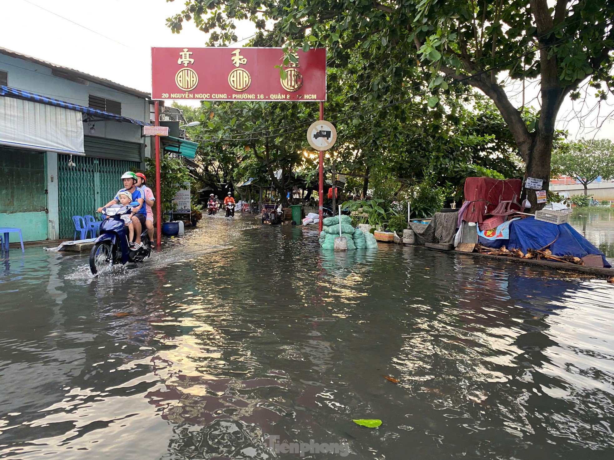 |
At Nguyen Ngoc Cung Street (Ward 16, District 8). |
 |
Although the embankment of Phu Dinh Street (District 8) has been built, water from Lo Gom Canal still overflows from the manhole onto the road surface, causing flooding in some low-lying areas. |
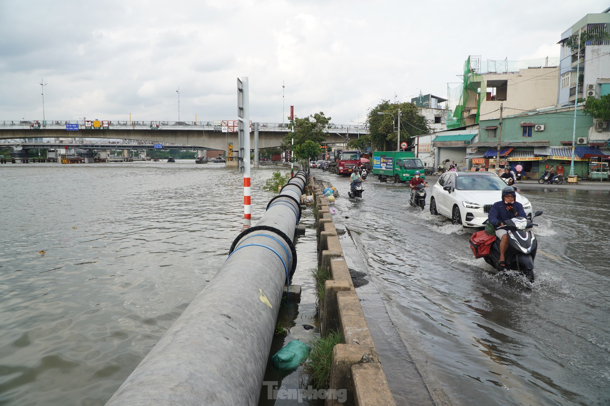 |
On Tran Xuan Soan Street (District 7), the water level of Te Canal rose higher than the road surface, causing a 1km long stretch of road to be deeply flooded. |
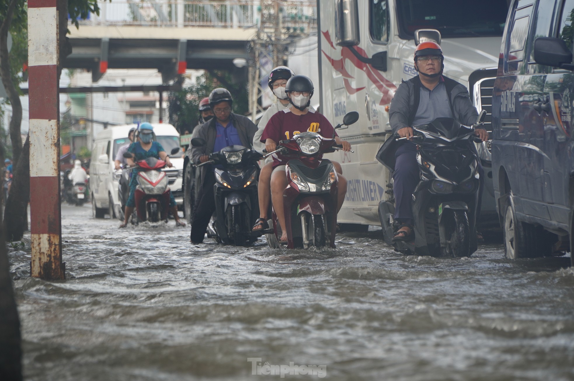 |
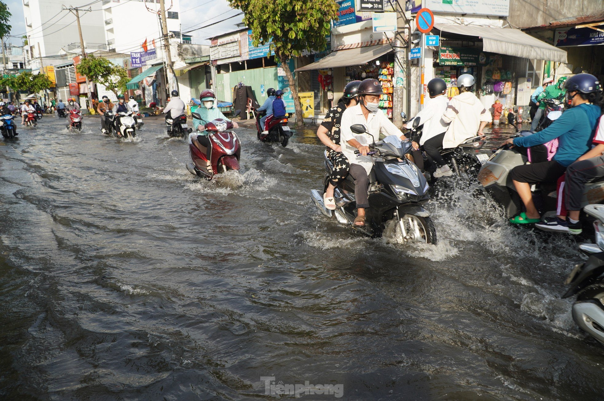
People's traffic is difficult during rush hour. |
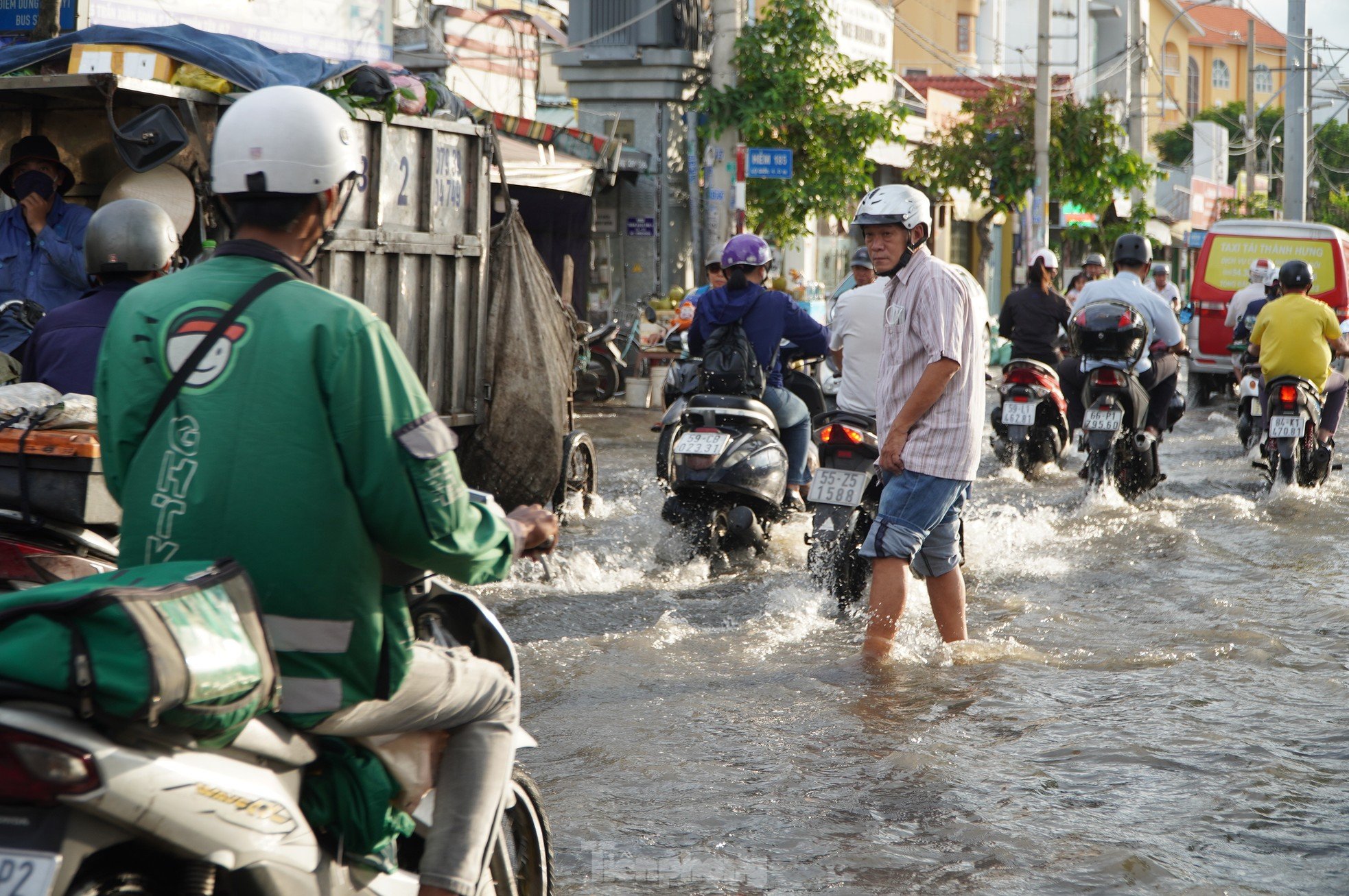 |
People wade through water on Tran Xuan Soan Street (District 7). |
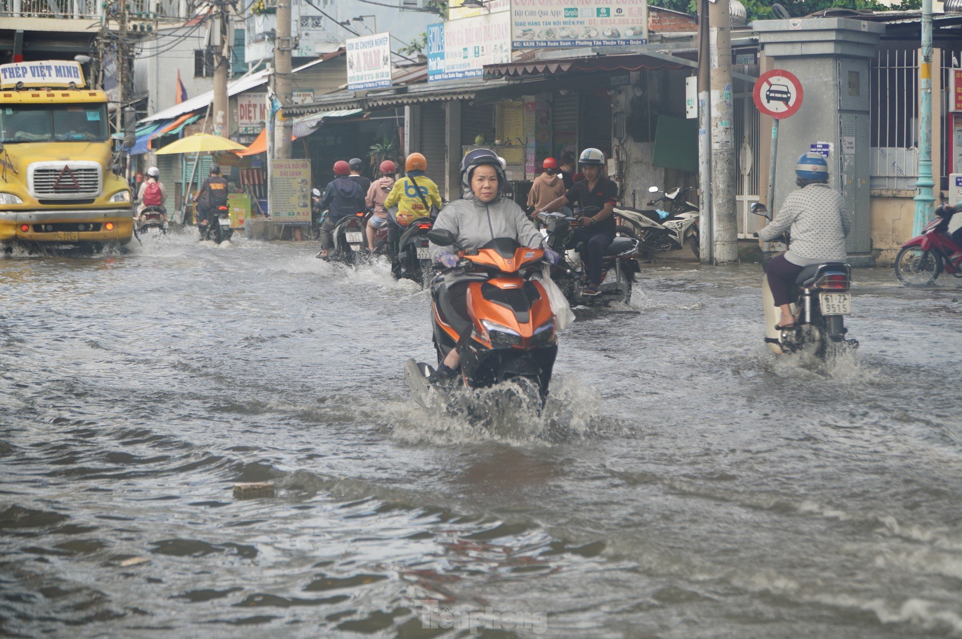 |
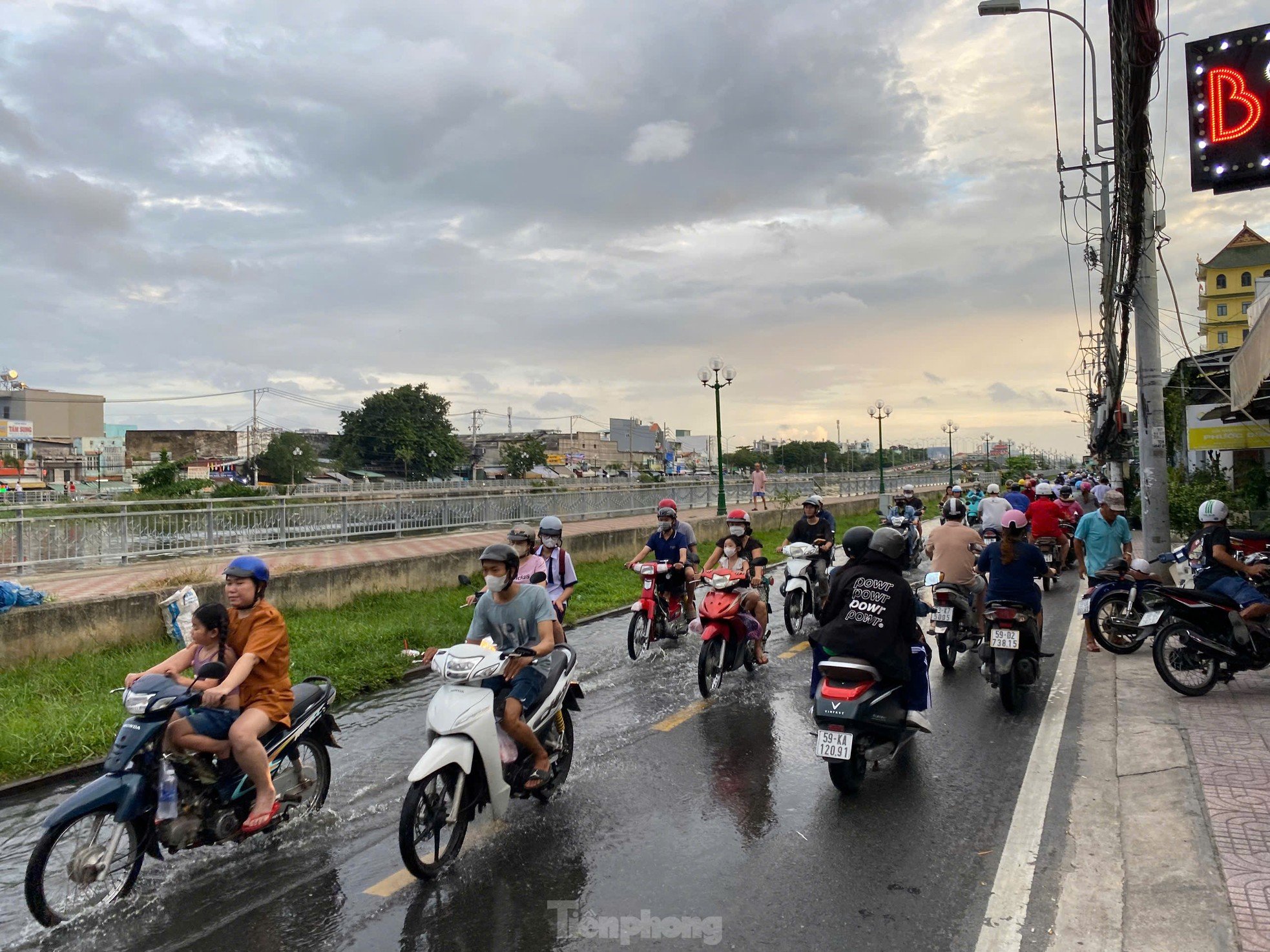
The canal water rose and flooded Tran Xuan Soan street. |
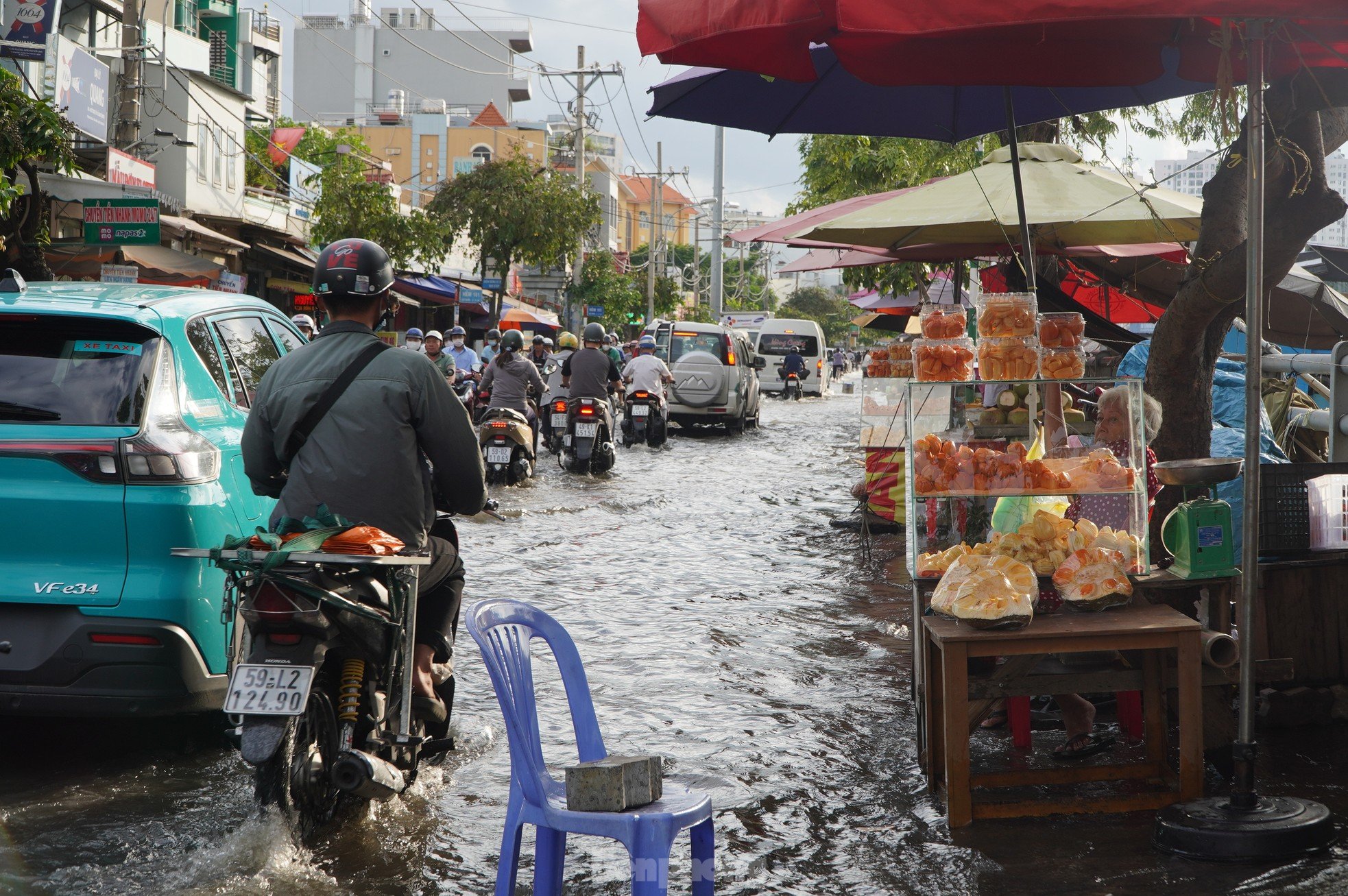 |
Some vendors have to place plastic chairs to prevent passing vehicles from splashing dirty water on the goods they are selling. |
 |
| According to the Southern Hydrometeorological Station, in the past 24 hours, water levels at stations downstream of the Saigon - Dong Nai river system continued to rise rapidly following the August Full Moon (lunar calendar) high tide and reached approximately Alarm Level II. It is forecasted that in the next 2 - 3 days, water levels at stations will continue to rise higher. |
 |
| The highest tide peaks in this period are forecast to appear on September 20 and 21 (ie August 18 - 19 of the lunar calendar) and reach the following levels: At Phu An station (Sai Gon river), Nha Be station (Dong Dien river) at 1.6 - 1.65m (approximately or 0.05m higher than Alarm Level III). The peak tides will appear from 5am - 7am and 5pm - 7pm. |
“High peak tide levels are likely to cause flooding in low-lying areas and riverside areas, affecting traffic, daily life, and socio -economic activities in the Ho Chi Minh City area. Some roads in Ho Chi Minh City may be flooded, such as Tran Xuan Soan, Dao Su Tich, Huynh Tan Phat, Nguyen Binh, Le Van Luong, Highway 50, Pham Huu Lau (concentrated in District 7 and Nha Be District),” the Southern Hydrometeorological Station informed.


Source: https://tienphong.vn/trieu-cuong-dang-cao-duong-pho-ngap-sau-nguoi-dan-tphcm-chat-vat-ve-nha-post1674790.tpo
![[Photo] Panorama of the 2025 Community Action Awards Final Round](https://vphoto.vietnam.vn/thumb/1200x675/vietnam/resource/IMAGE/2025/11/15/1763206932975_chi-7868-jpg.webp)

![[Photo] General Secretary To Lam receives Vice President of Luxshare-ICT Group (China)](https://vphoto.vietnam.vn/thumb/1200x675/vietnam/resource/IMAGE/2025/11/15/1763211137119_a1-bnd-7809-8939-jpg.webp)


![[Photo] Prime Minister Pham Minh Chinh meets with representatives of outstanding teachers](https://vphoto.vietnam.vn/thumb/1200x675/vietnam/resource/IMAGE/2025/11/15/1763215934276_dsc-0578-jpg.webp)


Comment (0)