
On August 23, at the Party Central Committee headquarters, General Secretary and President To Lam chaired a Politburo meeting to give opinions on the planning of Ho Chi Minh City for the 2021-2030 period, with a vision to 2050.
Global urban, river-based, sea-oriented
After listening to the representative of the Ho Chi Minh City Party Committee report on the request for direction on the Ho Chi Minh City Planning, and the opinions of agencies contributing to the Planning Project, the Politburo focused on discussing and basically agreed on the major and important policies and viewpoints guiding the planning of Ho Chi Minh City.
Concluding the conference, General Secretary andPresident To Lam noted that the planning must concretize the Party's policies and guidelines, the resolutions of the Party Central Committee, the Politburo, and the Secretariat issued in recent times, especially Resolution No. 31 of the Politburo on the direction and tasks of developing Ho Chi Minh City until 2030, with a vision to 2045. At the same time, the planning must comply with the provisions of law, especially the Planning Law; be consistent with the national master plan, regional planning, and sectoral planning, and not conflict with each other. If there are conflicts or contradictions, they must be adjusted to ensure consistency.

Saigon River needs to be fully exploited to promote regional connectivity.
In addition, the planning must clearly demonstrate the particularly important role and position of Ho Chi Minh City as the economic, cultural, educational - training, scientific - technological center of the whole country; aiming to become the economic, financial, service, cultural, educational - training, scientific - technological and innovation center of Southeast Asia and Asia, with global competitiveness.
General Secretary and President To Lam emphasized the need to effectively exploit ground space, water surface, underground space, and airspace; organize urban, service, industrial, and rural spaces appropriately; and orientate modern transportation methods commensurate with the appearance of a global city in the future.
The General Secretary and President also noted the balance between economic and cultural development, taking people as the central subject of development.
According to the report, from now until 2030, Ho Chi Minh City's space will be arranged and organized to become a global, multi-center, green, smart, creative, unique, river-based, sea-oriented, climate change-adaptive, urban-rural harmonization city; especially enhancing regional connectivity.
During the process of Ho Chi Minh City's planning, Chairman of the City People's Committee Phan Van Mai has repeatedly emphasized the focus on studying "dynamism" and "openness" in regional connectivity. Mr. Phan Van Mai said that the previous orientation of the Ho Chi Minh City Master Plan to 2025 according to Decision 24/2010 of the Prime Minister determined that Ho Chi Minh City would develop according to a multi-polar concentrated model (also known as a metropolis). However, reality shows that this model is difficult to implement. First of all, the population distribution is currently decreasing in the central area and increasing rapidly in the directions. Along with that, Ho Chi Minh City has not clearly formed large centers, while urban areas in the suburbs mainly develop in a widespread manner. In many areas, spontaneous development is still taking place in an "oil spill" style, lacking synchronous infrastructure connections.
Therefore, in the new stage of development, Ho Chi Minh City is studying to transform itself into a multi-center model (multi-polar combined with secondary centers). New planning research projects need to be completed and further clarified in the multi-center urban model of the city. From there, the consulting unit has proposed a number of solutions to connect the city with major cities in the region such as building axes from Ho Chi Minh City connecting with major cities in the region; forming industrial - urban - service belts along Ring Roads 3 and 4; building Can Gio international transit port; forming a road axis along the Saigon River connecting the Southeast provinces...

General Secretary and President To Lam chaired a Politburo meeting to give opinions on Ho Chi Minh City's planning for the 2021-2030 period, with a vision to 2050.
Saigon River must be an important highlight
Currently, Ho Chi Minh City is implementing 3 very important plans for future development, including the Ho Chi Minh City Planning for the period 2021 - 2030, vision 2050; Reviewing and adjusting the Ho Chi Minh City master plan to 2040, vision 2060 and developing the Thu Duc City master plan at the same time as the Ho Chi Minh City master plan. Ho Chi Minh City authorities have identified the Saigon River planning as the center in reviewing the city's master plan in the coming time and consider this a highlight in developing these plans.
Dr. Tran Ngoc Chinh, Chairman of the Vietnam Urban Planning and Development Association, assessed the Saigon River as a special resource that few places have, a special landscape that nature has bestowed upon Ho Chi Minh City. However, in recent times, planning studies to develop urban spaces along the river have been very vague, not fully exploiting the potential of the river. Dr. Tran Ngoc Chinh cited: “In Da Nang, the Han River flows through the city center for only about 7 km but has been very well exploited, including urban spaces along the river and bridges across.
This helps Da Nang successfully build the brand of “city of bridges”. In the world, many rivers such as Huangpu in Shanghai (China), Thames (UK)… do not have beautiful locations like Saigon River but are utilized and developed very well, becoming famous landscapes. With the length of Saigon River through Ho Chi Minh City about 40 km and very wide, if well planned and implemented, in 10-15 years, Saigon River will not only be the highlight of the city but will be famous in the world".
From the above perspective, Dr. Tran Ngoc Chinh believes that in planning work, Ho Chi Minh City needs to pay special attention to the importance of the Saigon River. Not only is it a unique landscape axis, the river also brings economic potential and many cultural values. Moreover, the Saigon River can also play an important role in connecting Ho Chi Minh City with localities with special relationships such as Tay Ninh province, expanding the international traffic network through Moc Bai border gate. Therefore, the areas of Cu Chi, Hoc Mon, and Go Vap districts are important routes, needing to develop new centers along the route, focusing on high-tech industrial and agricultural sectors, and developing independently.
Agreeing, Mr. Nguyen Kim Toan, General Director of Thuong Nhat Company Limited, emphasized that in the story of regional connectivity, it is necessary to reaffirm the position of the Saigon River. The Southeast region from Tay Ninh, Binh Duong, Binh Phuoc to Dong Nai, Ba Ria-Vung Tau; the Southwest region such as My Tho, Vinh Long, Can Tho, An Giang, Kien Giang, Bac Lieu, Soc Trang... the entire river region of Southern Vietnam has been completely connected and traveled by waterway since the beginning.
It can be said that the connection of the river system and waterways from Ho Chi Minh City to the Southeast and Southwest regions is the legacy of our ancestors. Whether the South can be prosperous and develop strongly or not depends on the inheritance and promotion of the value of these legacies. Human history has also proven that the lands located next to the basins of large rivers have formed great civilizations, deep cultures and strong economies. Therefore, not only the Saigon River but also the spatial development of the entire river system in Ho Chi Minh City connecting with the Southeast and Southwest provinces must be an important content specified in the planning of Ho Chi Minh City this time.
“We are living in a flat world, the lands are getting closer and closer, the geographical distance is getting more and more blurred. The connection between localities is increasingly diverse with many methods such as air, rail, sea, road. The Southern region is currently planned to be connected by many highways, in the future there will be railways, there will be Long Thanh international airport, but waterways and rivers must certainly be developed, even must be the shape for regional development and connection. Building a railway line, building a highway costs thousands of billions, while the river and canal system is already available, just need to clear the flow, have a specific planning strategy, build an implementation program to do it right away. If Ho Chi Minh City wants to go to the sea, wants to bring seaports deep into the interior, it must also rely on rivers. Saigon River is not only the driving force for Ho Chi Minh City to develop but also something Ho Chi Minh City must do”, Mr. Nguyen Kim Toan analyzed.

Ho Chi Minh City – Cu Chi River Tour
High-class riverside tourism products and services
In many discussions between the leaders of the Ho Chi Minh City People's Committee and the provinces of Ba Ria-Vung Tau, Binh Duong, Binh Phuoc, Dong Nai, Tay Ninh, the leaders of the localities agreed on the policy of proposing the planning orientation of the Saigon River and Dong Nai River, connecting the Southeast region. Based on the common view that the planning of the Saigon River and Dong Nai River is important to exploit the potential of riverside economy, ports, tourism, waterway transport, environmental protection, ecology, and water security of the localities, the provinces agreed on the planning of the development of the Saigon River corridor to synchronously and comprehensively connect the technical infrastructure system (overpasses, roads, inland waterway wharves, cargo ports, etc.) with Binh Duong province and the provinces in the upper stream. The scope of the study of the Saigon River road will extend to the border of Tay Ninh province; study solutions to connect with the traffic network of Tay Ninh province. The general orientation is to make the most of existing routes running along the Saigon River (which have been invested in) to flexibly plan the route direction, suitable to the current status and urban landscape along the river.
A leader of the Ho Chi Minh City Department of Transport assessed that the synchronization of both sides of the river as well as urban development on this section is having many advantages. In Ho Chi Minh City, there is a section from Mui Den Do Park along Nha Rong - Khanh Hoi port. When the port is relocated, it will also be an opportunity to immediately implement an urban area along the river with many mixed functions such as trade, logistics, port formation, tourist water terminals... Or in Cu Chi or Tay Ninh, there are urban and tourism development projects that can also be linked with traffic projects...
“The urban areas along the river will be flexibly implemented according to each opportunity, not mechanically waiting to build a route of tens of kilometers from here to Tay Ninh. Ho Chi Minh City and the provinces are implementing the viewpoint of planning to expand the connecting space, local planning linked to regional planning, including satellite cities. The riverside route along Ring Road 3, Ring Road 4 and Ho Chi Minh City - Moc Bai Expressway not only provide convenient traffic connections but also open up potential for economic and tourism development, bringing along many advantages of the Southeast region associated with the characteristics of rivers. The most important thing is to have a plan. From the plan, there will be a detailed implementation plan and determine the capital source to gradually form this project,” he emphasized.
Economist Dinh The Hien noted that along the river is the most commercial land. Therefore, the river banks must certainly exploit high-end services such as commerce, tourism, entertainment, and resorts. Those services must be connected to the inside of farms and gardens to integrate more land along the river, creating a vibrant economic ecosystem parallel to the road. The Saigon River is not only an urban center, but must become a pillar of sustainable economic and tourism development in a green, ecological direction, the center of large-scale tourism ecosystems, a place where cultural spaces, festivals, sports, and ecology of high class, global orientation are gathered. From there, create a range of high-end, unique, and sustainable tourism products along the river.
“Opening a good river route means there must be a wharf. Restaurants, garden houses, real estate businesses will automatically form in a harmonious and sustainable way. The economy along the river will automatically form and develop,” said Mr. Hien.
Recalling the “golden age” of inter-provincial waterway tourism in the years 2000-2012, Mr. Nguyen Kim Toan said that during that period, the trains from Ho Chi Minh City to Long An, Tay Ninh, up to Dong Nai, to Vung Tau or down to Ben Tre, My Tho, Chau Doc, to U Minh Ha, U Minh Thuong... were very strong, running every 2-3 days. The train route across the border to Cambodia was also very “in demand”. However, later on, fuel costs were too high, the high-speed trains could not stay together, the slow overnight trains took too much time, the price was high, so customers were few. Gradually, the river tourism routes gradually faded away and lost their position.
The Politburo requested the Ho Chi Minh City Party Committee to focus on leadership to urgently complete the Planning. After the Planning is approved, it is necessary to be determined, drastic, have mechanisms and policies to open up and activate all resources to effectively implement it, building Ho Chi Minh City to be worthy of the wishes of the Party Central Committee, the Politburo and the people of the whole country.
The corridor along the Saigon River extending to Tay Ninh will be an opportunity for inter-provincial river tourism to revive. Ho Chi Minh City and the provinces along the route can study the combination of waterways and roads, choosing river routes with unique and special landscapes for visitors to experience traveling on the river, then stop and travel by road. Utilizing both methods is economically effective. With infrastructure and the formation of satellite destinations, tourism will continue to develop. The most important thing is to have a general director to build a reasonable product structure.
Mr. Nguyen Kim Toan , General Director of Thuong Nhat Company Limited
Thanhnien.vn
Source: https://thanhnien.vn/tphcm-phai-tro-thanh-trung-tam-kinh-te-tam-chau-luc-185240823232744801.htm
![[Photo] Panorama of the Opening Ceremony of the 43rd Nhan Dan Newspaper National Table Tennis Championship](https://vphoto.vietnam.vn/thumb/1200x675/vietnam/resource/IMAGE/2025/5/19/5e22950340b941309280448198bcf1d9)
![[Photo] Close-up of Tang Long Bridge, Thu Duc City after repairing rutting](https://vphoto.vietnam.vn/thumb/1200x675/vietnam/resource/IMAGE/2025/5/19/086736d9d11f43198f5bd8d78df9bd41)
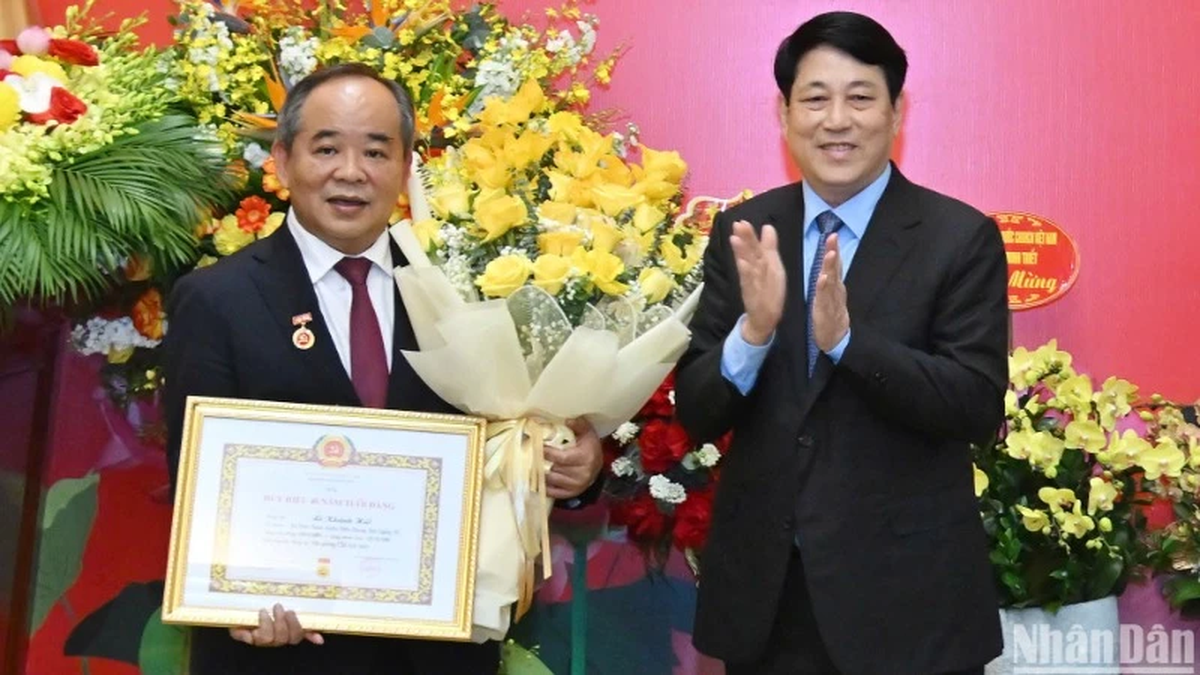
![[Photo] President Luong Cuong presents the 40-year Party membership badge to Chief of the Office of the President Le Khanh Hai](https://vphoto.vietnam.vn/thumb/1200x675/vietnam/resource/IMAGE/2025/5/19/a22bc55dd7bf4a2ab7e3958d32282c15)
![[Photo] General Secretary To Lam attends the conference to review 10 years of implementing Directive No. 05 of the Politburo and evaluate the results of implementing Regulation No. 09 of the Central Public Security Party Committee.](https://vphoto.vietnam.vn/thumb/1200x675/vietnam/resource/IMAGE/2025/5/19/2f44458c655a4403acd7929dbbfa5039)


![[Photo] Prime Minister Pham Minh Chinh inspects the progress of the National Exhibition and Fair Center project](https://vphoto.vietnam.vn/thumb/1200x675/vietnam/resource/IMAGE/2025/5/19/35189ac8807140d897ad2b7d2583fbae)


![[VIDEO] - Enhancing the value of Quang Nam OCOP products through trade connections](https://vphoto.vietnam.vn/thumb/402x226/vietnam/resource/IMAGE/2025/5/17/5be5b5fff1f14914986fad159097a677)


Comment (0)