
On the side of the unit that builds and operates the online training platform, there are Mr. Nguyen Ngoc Quang - Director of VEGA Institute of Space and Geospatial; Ms. Do Thi Hang - Deputy Director of VEGA Institute of Space and Geospatial; Mr. Vu Huu Tuan - Deputy Technical Director of Esri Vietnam Company.
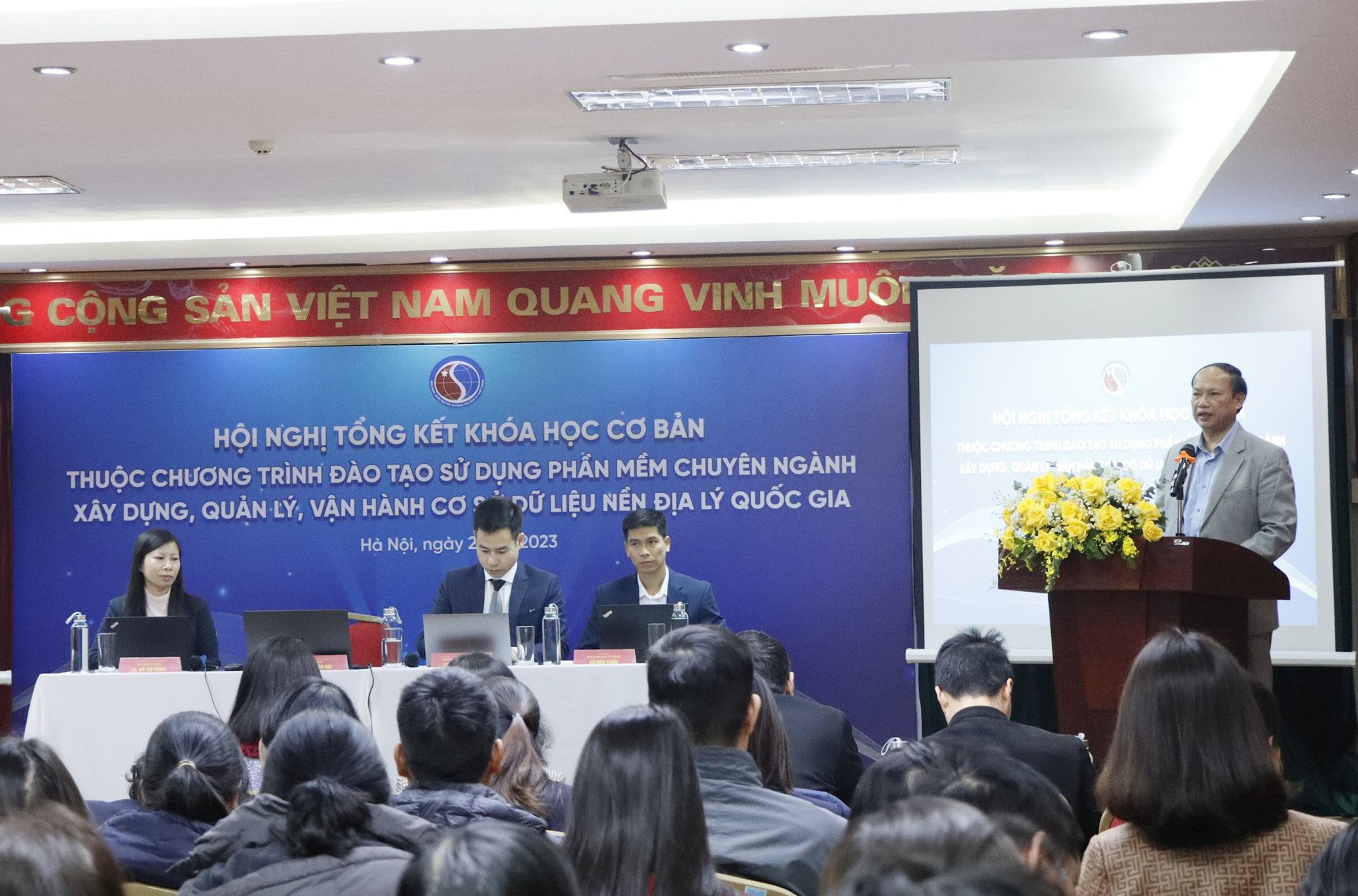
In his opening speech at the Conference, Mr. Duong Van Hai, Deputy Director of the Department of Surveying, Mapping and Geographic Information of Vietnam, said that, implementing Decision No. 40/QD-TTg dated January 9, 2020 of the Prime Minister on approving the Project "Building and perfecting the national geographic database", the Ministry of Natural Resources and Environment assigned the Department of Surveying, Mapping and Geographic Information of Vietnam to organize the implementation of the task of building the national geographic database and establishing national topographic maps at scales of 1:25,000, 1:100,000, 1:250,000, 1:500,000, 1:1,000,000 for the mainland; Building a national geographic database on Vietnam's sea at scales of 1:10,000, 1:50,000, 1:100,000, 1:250,000, 1:500,000, 1:1,000,000 to serve the planning and socio-economic development work. The products after completion were promptly provided to a number of ministries and branches to serve the planning work as well as the direction and operation work. In addition, the products were also handed over to localities for management, exploitation and use according to regulations.
In order to effectively manage, exploit and use the national geographic database built, provided and handed over to ministries, branches and localities by the Ministry of Natural Resources and Environment, on November 10, 2023, the Ministry of Natural Resources and Environment officially opened the "Training program on using specialized software to build, manage and operate the national geographic database" in the form of online training via the E-Learning platform.

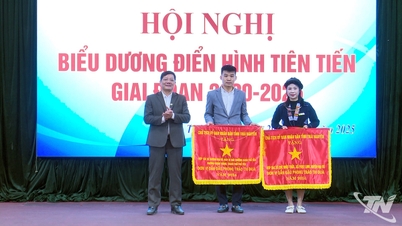
Up to now, after nearly 2 months of implementation, the Department of Surveying, Mapping and Geographic Information of Vietnam has organized a Conference to summarize the basic course with the aim of evaluating the training implementation situation as well as to create conditions for trainees to exchange difficulties and problems in the learning process. From there, they will learn from experience and make adjustments in the future to be more suitable.
According to Mr. Duong Van Hai, in the past time, basically, students have actively participated in the training program to help them gain skills and experience in building national geographic databases as well as specialized geographic databases by using GIS software. However, besides that, there are also many students who have been assigned by agencies and units to attend the course but have not spent enough time to study the lectures according to the plan.
Accordingly, to ensure that after completing the training program, the trainees will not only be proficient in using GIS technology, but also be capable of processing and analyzing in-depth geographic data, Mr. Duong Van Hai suggested that the trainees who have been assigned by their agencies and units to participate in the course should focus on spending time to complete the training program according to the plan.
“I believe that with the knowledge and experience gained after the training course, managers will easily make appropriate and accurate decisions for tasks related to geographic data. For technical staff, it will help them gain in-depth knowledge of GIS, they will be the ones contributing to the success of tasks and projects related to building and updating geographic databases. In particular, after the course, each student will not only gain new knowledge about GIS but also confidence and passion in the field of geographic information,” Mr. Duong Van Hai emphasized.
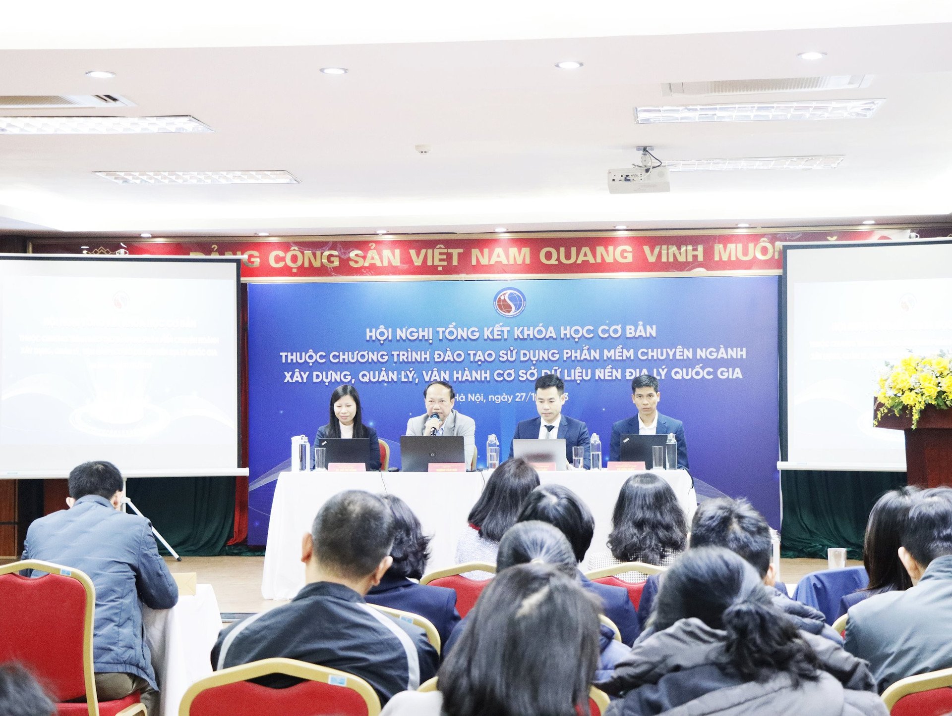
Reporting on the training results of the basic training course on using specialized software for building, managing and operating national geographic databases, Ms. Do Thi Hang - Deputy Director of VEGA Institute of Space and Geospatial Sciences said that the course had more than 3,800 participants with nearly 1,000 students registering after the opening day. Every day, there are an average of more than 500 activities on the platform, with some days reaching up to 1,000 activities on the platform.
Along with that, the advantage of operating the E-learning online learning platform is that the system runs stably (Uptime reaches 99.8%) which helps to continuously support students through many channels, helping students and teachers interact and answer questions quickly and conveniently.
Regarding learning outcomes on the E-Learning platform, up to now, 310 students have completed the basic course and received certificates; 435 students have completed course I and 324 students have completed course II, and there are more than 300 students.
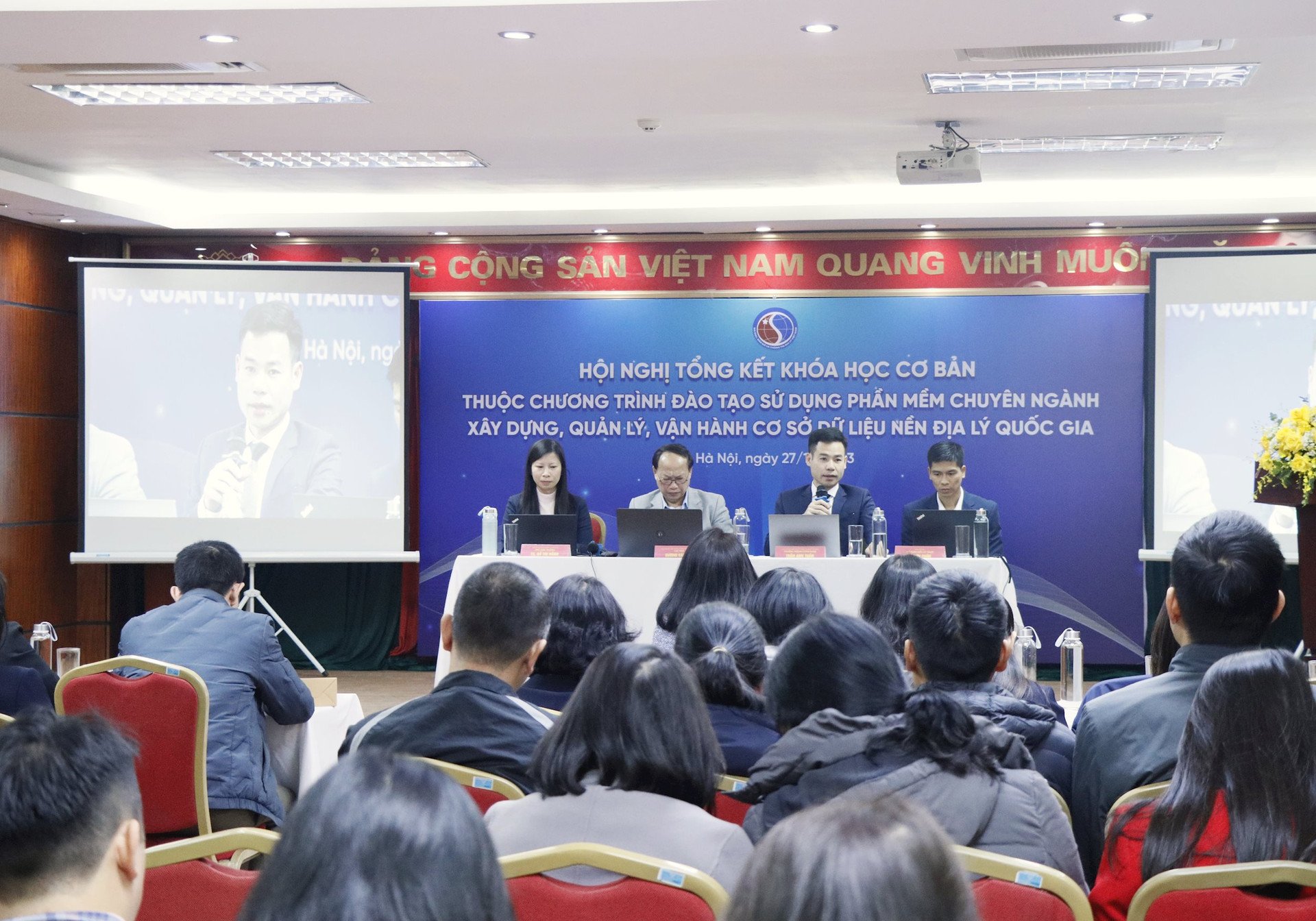
At the Conference, leaders of the Department of Surveying, Mapping and Geographic Information of Vietnam discussed, shared and answered questions from students attending the course related to the content of the curriculum; about the copyright of ArcGIS software granted to students for training purposes; ways to convert the structural model and content of the national geographic database using software tools or manually converting based on mapping information fields on ArcGIS software;….
Source


Comment (0)