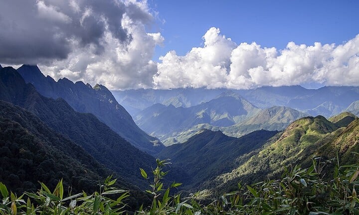
1. Hoang Lien Son province was merged from which localities?
- A
Tuyen Quang and Ha Giang
- B
Lao Cai and Tuyen Quang
- C
Yen Bai and Tuyen Quang
- D
Lao Cai and Yen Bai
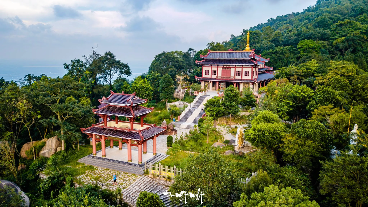
Hoang Lien Son is a former province of Vietnam, located between the northeast and northwest of Northern Vietnam, established on December 27, 1975 on the basis of merging the two provinces of Lao Cai and Yen Bai and the districts of Mu Cang Chai, Van Chan, Tram Tau, Than Uyen of Nghia Lo province (the two districts of Bac Yen and Phu Yen were merged into Son La province). The provincial capital of Hoang Lien Son is Yen Bai town.
When merged, Hoang Lien Son province has 4 towns: Yen Bai town (provincial capital), Cam Duong, Lao Cai, Nghia Lo and 16 districts: Bac Ha, Bao Thang, Bao Yen, Bat Xat, Luc Yen, Mu Cang Chai, Muong Khuong, Sa Pa, Si Ma Cai, Than Uyen, Tram Tau, Tran Yen, Van Ban, Van Chan, Van Yen, Yen Binh.

2. In what year was Hoang Lien Son divided into two provinces?
- A
1991
On August 12, 1991, the 9th Session of the 8th National Assembly passed a resolution to divide Hoang Lien Son province to re-establish Lao Cai province and Yen Bai province (including the part belonging to Nghia Lo province).
- B
1992
- C
1993
- D
1994
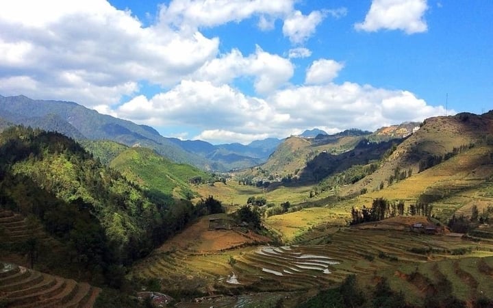
3. Which river flows through both Lao Cai and Yen Bai?
- A
Da River
- B
Red River
In Lao Cai, the Red River is 73 m above sea level. In Yen Bai, the river is only 55 m high. Between the two provinces are 26 rapids and rapids. In Viet Tri, the river slope is not much anymore so the flow speed slows down. The Red River Delta is located downstream of this river.
The Red River has a very large average annual water flow, up to 2,640 m³/s (at the river mouth) with a total water flow of up to 83.5 billion m³, however the water flow is unevenly distributed. In the dry season, the flow decreases to only about 700 m³/s, but at the peak of the rainy season it can reach 30,000 m³/s. - C
Lo River
- D
Day River
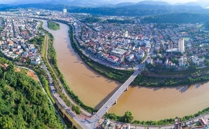
4. Which mineral has the largest reserves in Lao Cai and is famous nationwide?
- A
Copper
- B
Charcoal
- C
Yellow
- D
Apatite ore
Lao Cai apatite ore is a type of ore belonging to the methane phosphorite (apatite-dolomite) formation, which is the main formation used for the phosphate fertilizer production industry in our country.
Apatite reserves are distributed along the right bank of the Red River in Lao Cai. The Lao Cai apatite mine is 200m thick, 1-4km wide and 100km long, located in Vietnam, from Bao Ha in the Southeast to Bat Xat in the North, bordering China.
Lao Cai apatite ore is a type of phosphate ore of marine sedimentary origin, discovered in 1924. Geologists completed studies on detailed surveys of apatite-containing strata, studied the tectonic structure of the mine, and determined the reserves of each type of ore.
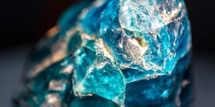
5. Which province is the 'Roof of Indochina'?
- A
Lao Cai
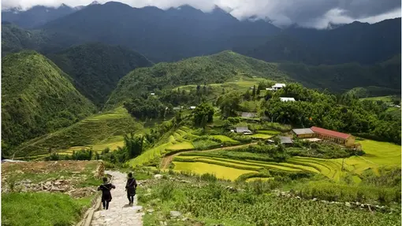
Fansipan (also known as Phan Si Pang or Phan Xi Pang) is the highest mountain peak in Vietnam, located on a famous mountain range in the Northwest region. Fansipan is also the highest mountain peak of the Indochina peninsula and is known as the "Roof of Indochina".
Fansipan fascinates tourists with its majestic natural landscapes and is an endless passion for tourists who love exploring and climbing. - B
Yen Bai
- C
Dien Bien
- D
Ha Giang
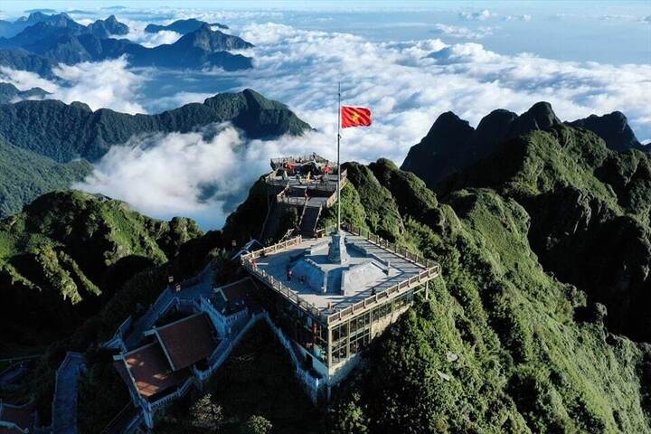
Source: https://vtcnews.vn/tinh-hoang-lien-son-duoc-sap-nhap-tu-nhung-dia-phuong-nao-ar911391.html


![[Photo] Closing ceremony of the 18th Congress of Hanoi Party Committee](https://vphoto.vietnam.vn/thumb/1200x675/vietnam/resource/IMAGE/2025/10/17/1760704850107_ndo_br_1-jpg.webp)










![[Video] From the 2026-2027 school year, a set of shared textbooks will be deployed](https://vphoto.vietnam.vn/thumb/402x226/vietnam/resource/IMAGE/2025/10/18/1760745668900_720-jpg.webp)










![[Photo] Nhan Dan Newspaper launches “Fatherland in the Heart: The Concert Film”](https://vphoto.vietnam.vn/thumb/1200x675/vietnam/resource/IMAGE/2025/10/16/1760622132545_thiet-ke-chua-co-ten-36-png.webp)
























![[Infographic] 8 cancers related to tobacco](https://vphoto.vietnam.vn/thumb/402x226/vietnam/resource/IMAGE/2025/10/18/1760748667221_anh-chup-man-hinh-2025-09-26-110-2182-jpg.webp)







Comment (0)