

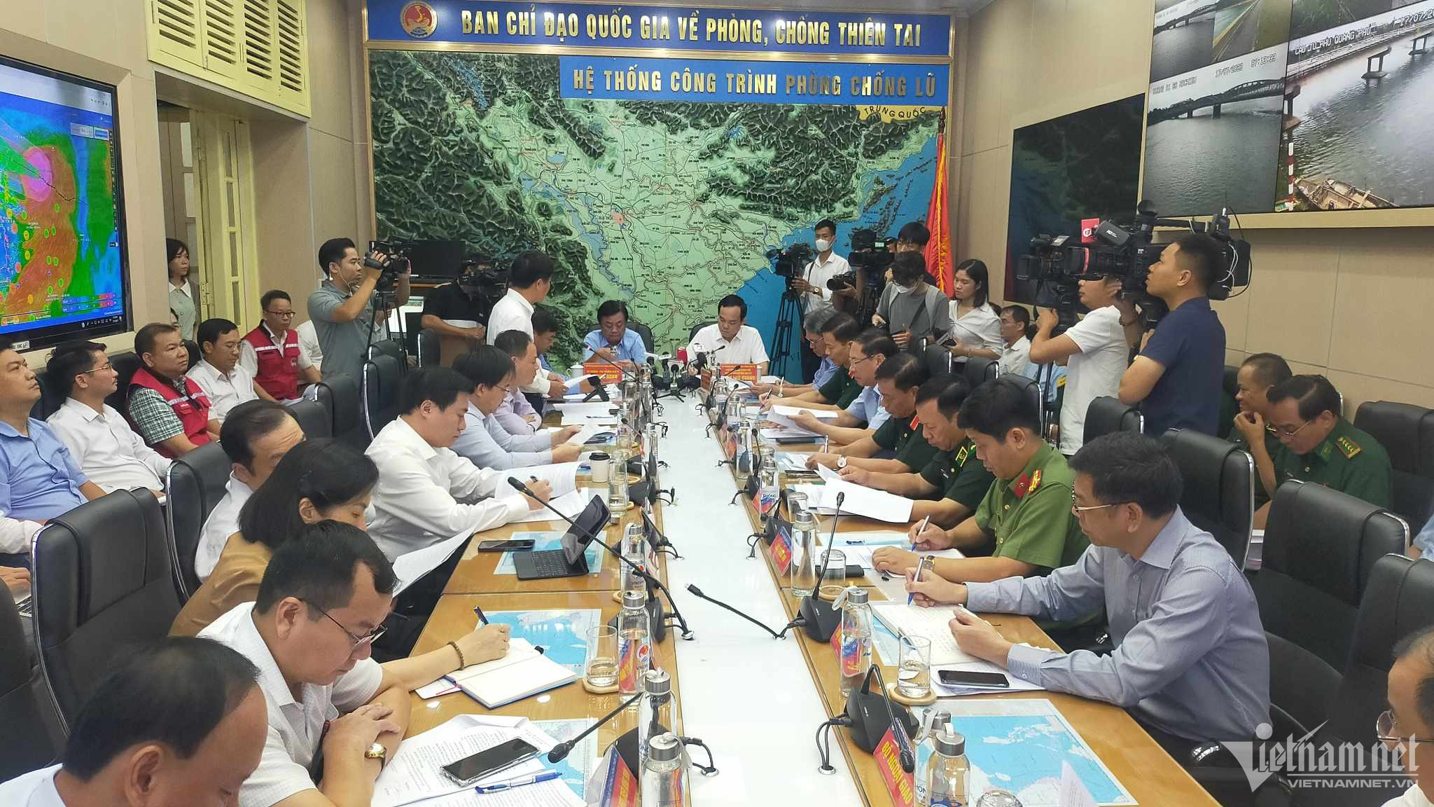
On the morning of July 17th, the National Steering Committee for Disaster Prevention and Control held a meeting to respond to Typhoon No. 1 and the subsequent floods.
At the meeting, Mr. Pham Duc Luan, Director of the Department of Dike Management and Disaster Prevention and Control, stated that at 4:00 AM today, the storm's center was located at 20 degrees North latitude; 113.5 degrees East longitude, approximately 340km east-southeast of the Leizhou Peninsula (China). The strongest wind speed was level 11-12, with gusts up to level 15.
Over the next 24 hours, the storm will move west-northwest at a speed of 15-20 km/h; intensity level 11-12, gusts up to level 15. The danger zone over the next 24 hours is located north of 17.5 degrees North latitude, from 107.5-115.5 degrees East longitude.
From the afternoon and evening of July 17th, the northern part of the Gulf of Tonkin (including Bach Long Vy and Co To islands) will experience increasingly strong winds, reaching levels 6-7, then increasing to levels 8-9, with winds near the storm's center reaching levels 10-11, gusting to level 14. The sea will be extremely rough.
Towards dawn on July 18th, the coastal area from Quang Ninh to Nam Dinh experienced increasingly strong winds, reaching levels 6-7, then increasing to level 8, with winds near the storm's center reaching levels 9-10, gusting to level 13; the inland area of the Northeast region experienced winds of levels 6-7, gusting to level 9.
The northern South China Sea has waves 5-7m high; the northern Gulf of Tonkin has waves 3-5m high; and the coastal area from Quang Ninh to Nam Dinh has waves 2-4m high.
Coastal areas from Quang Ninh to Thai Binh are experiencing storm surges of 0.5-0.8m. Typhoon No. 1 is expected to make landfall in the Quang Ninh - Thai Binh area on the evening of July 18th.
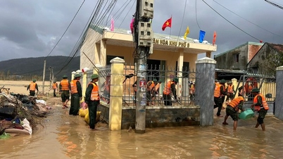
From the night of July 17th to July 20th, Northern Vietnam will experience rainfall of 200-400mm, with some areas exceeding 500mm; Thanh Hoa and Nghe An will receive 100-200mm, with some areas exceeding 300mm. The rain in Northern Vietnam may continue.
The National Steering Committee for Disaster Prevention and Control reported that, according to a report from the Border Guard Command, as of 6:00 AM on July 17th, they had informed, counted, and guided 52,188 vessels/226,183 people about the developments and trajectory of Typhoon No. 1 to enable them to proactively move to avoid it. Currently, there are no vessels operating in the dangerous zone. However, attention should be paid to small boats and tourist boats that return within the day.
According to a report from the Ministry of Transport, there are 553 seagoing vessels and inland waterway vessels operating in the area from Quang Ninh to Nghe An; these vessels have received information about Typhoon No. 1. However, attention needs to be paid to the mooring of cargo ships at ports and river mouth areas.
The coastal provinces from Quang Ninh to Nghe An have a total aquaculture area of 119,803 hectares, 3,806 watchtowers, and 20,189 cages/rafts; local authorities have informed people about the storm so that they can proactively implement safety measures.
As of 6 PM on July 16th, a total of 17,414 tourists remained on islands in Quang Ninh and Hai Phong (4,096 in Quang Ninh and 13,318 in Hai Phong). All tourists had received information about the storm and began moving back to the mainland from July 16th; for those who wished to stay on the islands, local authorities instructed tourism businesses to arrange safe accommodation.
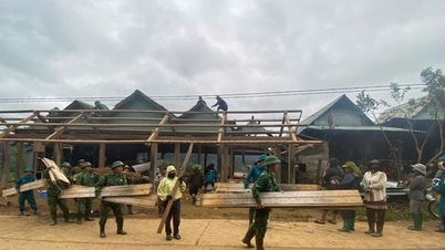
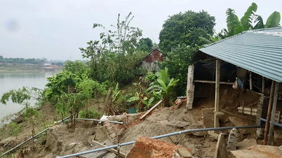
Typhoon No. 1 is strong, and very heavy rain is forecast to continue after the storm. To proactively respond and minimize damage, ministries, departments, and localities need to strictly implement the Prime Minister's directive and the directives of the National Steering Committee for Natural Disaster Prevention and Control.
Source


Comment (0)