
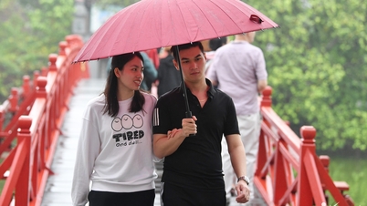
According to the National Center for Hydro-Meteorological Forecasting, Hanoi's weather in the next 3 days (September 19-21) will change from intermittent sunshine to thunderstorms and locally heavy rain.
Specifically, today (September 19), Hanoi capital will be cloudy, no rain, intermittent sunny days; from tonight to September 21, it will be cloudy, with rain, moderate rain and thunderstorms, locally heavy rain; in thunderstorms there is a possibility of tornadoes, lightning, and strong gusts of wind.
The highest temperature on the first day is about 31-33 degrees, the following days it drops slightly by 1-2 degrees, the weather is cool; at night it drops to 25-27 degrees.
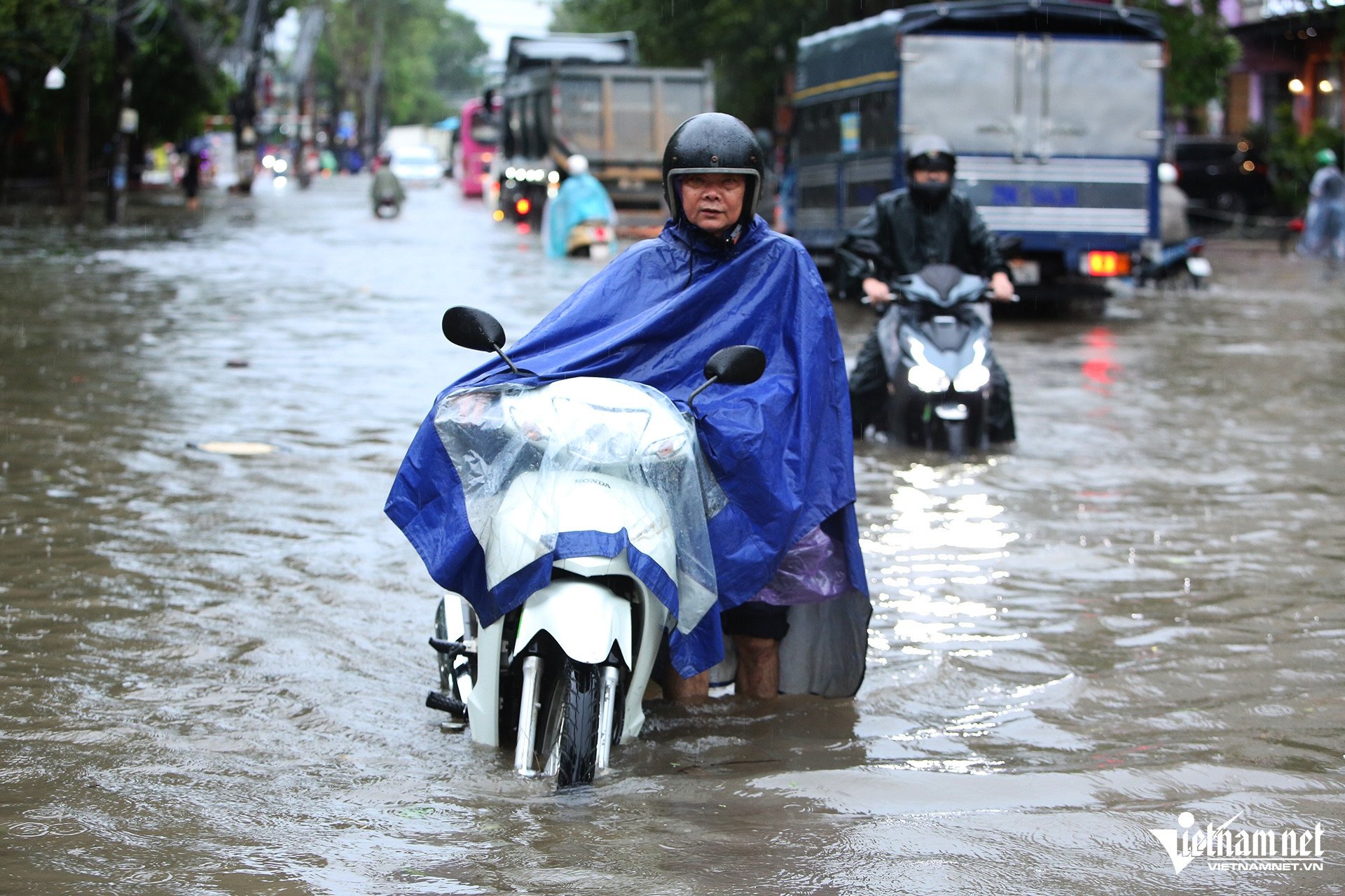
In addition, the meteorological agency also said that today and tonight in the Northern Delta region, there will be scattered showers and thunderstorms, locally heavy rain with rainfall from 10-30mm, locally over 70mm; rain will be concentrated in the afternoon and at night.
Weather in Hanoi capital in the next 3 days (September 19-21) :
| Day | Day (7am-7pm) | Night (7pm-7am) |
| 19/9 | Cloudy, no rain, sunny. Light wind. | Cloudy with occasional showers. |
| 20/9 | Cloudy with moderate rain and thunderstorms. During thunderstorms, watch out for tornadoes, lightning, and strong gusts of wind. | Cloudy with moderate rain and thunderstorms. During thunderstorms, watch out for tornadoes, lightning, and strong gusts of wind. |
| 9/21 | Cloudy with showers and thunderstorms. During thunderstorms watch out for tornadoes, lightning, and strong gusts of wind. | Cloudy with showers and thunderstorms. During thunderstorms watch out for tornadoes, lightning, and strong gusts of wind. |
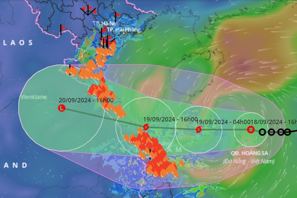
Fake news appeared that storm number 4 has entered the Central region, the Meteorological Center issued an urgent warning
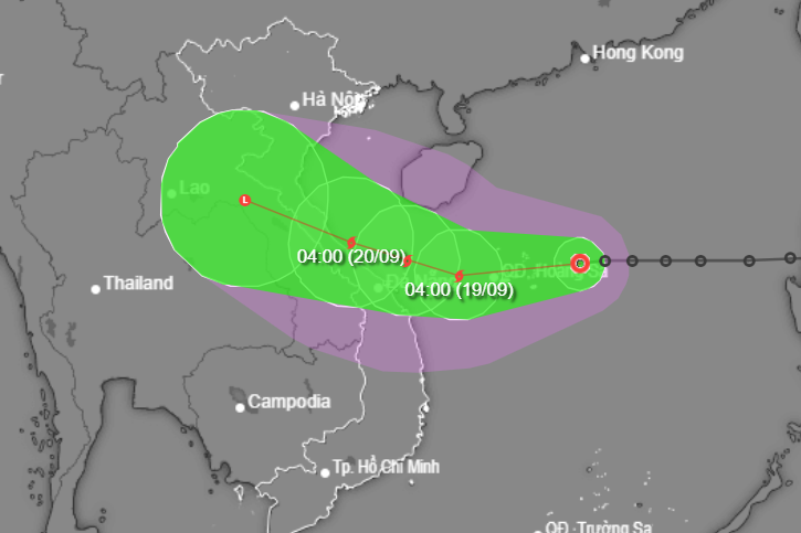
Why is there heavy rain in the Central region even though storm number 4 has not officially formed?
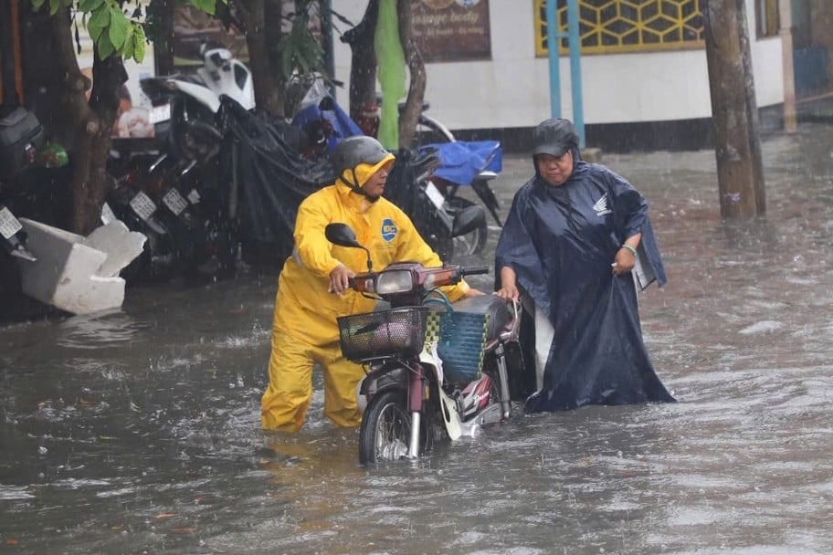
Raining continuously from morning to noon, many streets in Ho Chi Minh City were heavily flooded.
Source: https://vietnamnet.vn/thoi-tiet-ha-noi-3-ngay-toi-mua-rao-lien-tiep-de-phong-giong-loc-2323589.html
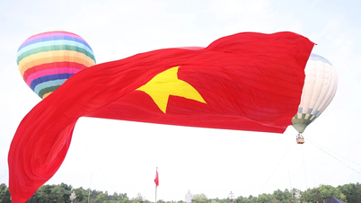
![[Photo] Special flag-raising ceremony to celebrate the 135th birthday of President Ho Chi Minh](https://vphoto.vietnam.vn/thumb/1200x675/vietnam/resource/IMAGE/2025/5/19/1c5ec80249cc4ef3a5226e366e7e58f1)


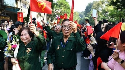
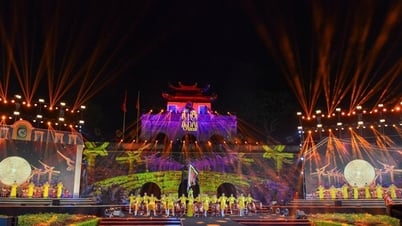
![[Photo] Party and State leaders attend the special art program "You are Ho Chi Minh"](https://vphoto.vietnam.vn/thumb/1200x675/vietnam/resource/IMAGE/2025/5/18/6895913f94fd4c51aa4564ab14c3f250)
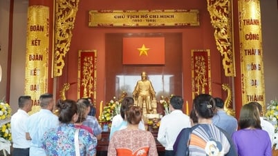
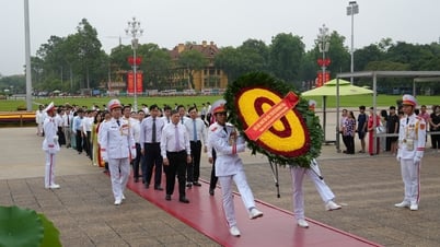
![[Photo] Party and State leaders visit President Ho Chi Minh's Mausoleum](https://vphoto.vietnam.vn/thumb/1200x675/vietnam/resource/IMAGE/2025/5/19/d7e02f242af84752902b22a7208674ac)


Comment (0)