
Projected route of high-speed railway on North-South axis
The latest research results of the consultant have shortened the length of the high-speed railway line on the North-South axis by about 4 km compared to the plan submitted in 2019 with the main line length after review being 1,541 km.
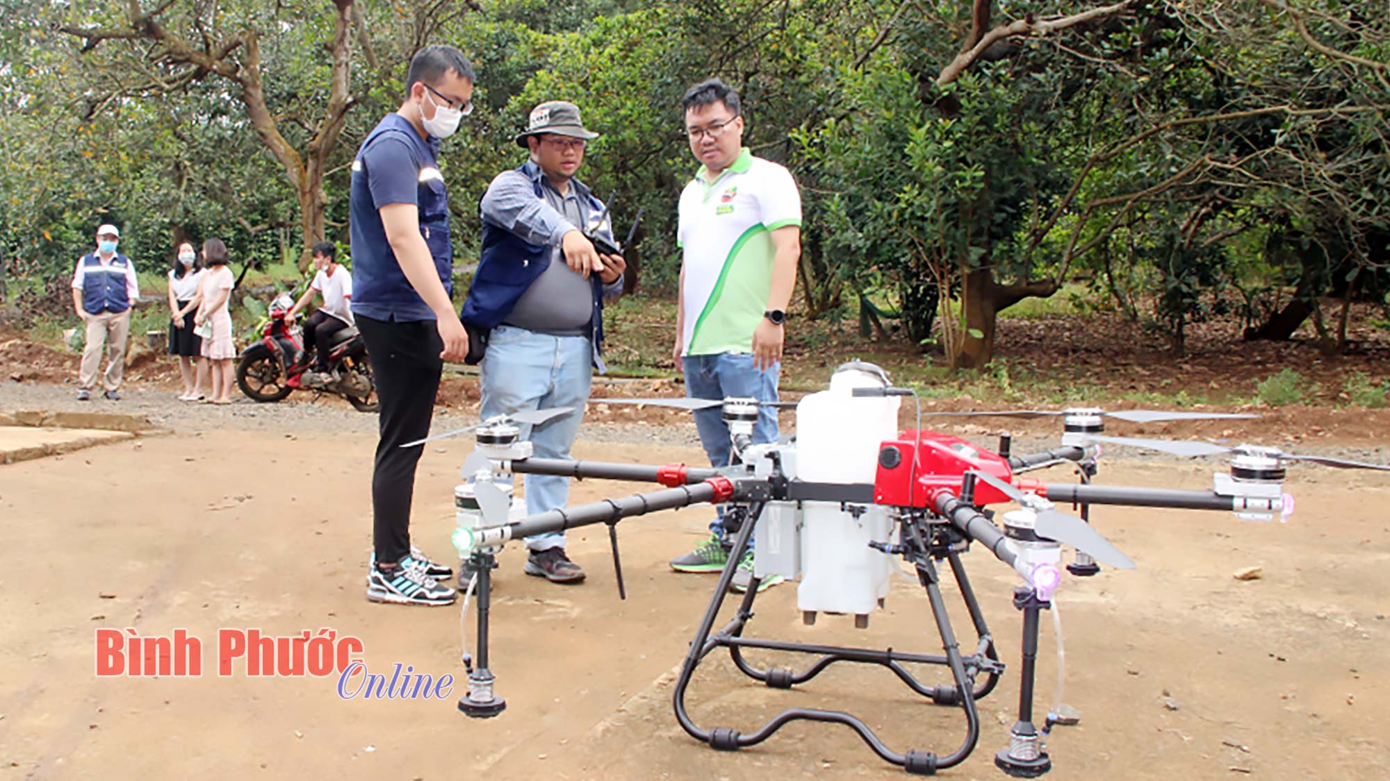
 |
| Illustration |
According to the Pre-Feasibility Study Report of the North-South High-Speed Railway Project, which is being consulted by members of the State Appraisal Council, the latest research results of the consulting consortium TEDI - TRICC - TEDI SOUTH have shortened the route length by about 4 km compared to the plan submitted in 2019 with the main route length after review being about 1,541 km.
The project will start at Ngoc Hoi station in Thanh Tri district, Hanoi, including considering a plan to organize train operations so that the high-speed railway can run trains to Hanoi station.
The final destination for passenger trains is Thu Thiem station in An Phu ward, Thu Duc city, Ho Chi Minh city; for freight trains, the final destination is Trang Bom station, Dong Nai province.
The high-speed railway route is expected to pass through 20 provinces and cities with a total length of about 1,541 km, including 23 passenger stations and 5 freight stations.
On the route, it is planned to arrange 5 depots for passenger trains in Hanoi, Nghe An, Da Nang, Khanh Hoa and Ho Chi Minh City, including 3 passenger train depots combined with major repair areas in Ngoc Hoi (Hanoi), Da Nang and Long Truong (Ho Chi Minh City) and 2 passenger train depots without major repair areas in Vinh and Nha Trang.
In addition, 4 more depots for freight trains will be built right next to the freight stations in Vung Ang, Chu Lai, Van Phong and Trang Bom. Ngoc Hoi depot will be built for both passenger and freight trains.
The consulting consortium TEDI – TRICC – TEDI SOUTH proposed to build 40 infrastructure maintenance facilities on the route, of which 5 will be located at the same location as the depot.
In the Pre-Feasibility Study Report of the North-South High-Speed Railway Project, the route of the North-South high-speed railway is briefly described as follows.
Within Hanoi, the route from Ngoc Hoi station basically follows the planning corridor. At the end of Phu Xuyen district, the proposed route splits to the East to avoid Dong Van industrial park in Duy Tien district, Ha Nam province.
Next, the route crosses National Highway 1, the current railway goes east of the expressway to Phu Ly City. Phu Ly Station is located in Liem Tuyen and Liem Tiet communes, Phu Ly City, near the Liem Tuyen junction, east of the North-South expressway.
From Phu Ly station, the basic route follows the current railway and National Highway 21 towards Nam Dinh City. Nam Dinh station is located in My Hung commune, My Loc district (near Dang Xa current railway station).
After Nam Dinh station, the route goes towards Ninh Binh, crossing the Day River in the eastern area of Khanh Phu Industrial Park (Ninh Binh City). After intersecting with National Highway 10, the route runs parallel to the east of the expressway.
Ninh Binh station is located in Khanh Thuong commune, Yen Mo district, about 1 km east of Mai Son intersection, 7.5 km south of Ninh Binh city center and Ninh Binh station on the current railway line.
Next, the route goes straight to the South, crosses Yen Thang Lake, avoids Dong Thai Lake eco-tourism area, then goes through the mountain through Tam Diep tunnel into Thanh Hoa province.
From Tam Diep mountain area, the basic route goes south, turns to the west of National Highway 1A in Ha Trung area, crosses Ma River at a location about 4.3 km upstream from Ham Rong bridge. Thanh Hoa station is located in the west of Thanh Hoa city.
Next, the basic route runs parallel to the East of the highway, through Yen My lake area, to Nghi Son economic zone. This is where the planned station is expected to be located.
The route crosses Mong Ga mountain into Nghe An province. Next, the basic route runs parallel to the East of the expressway, through Cau Giat area, the route tends to go near the current railway, crosses Than Vu mountain, and goes to the West of Vinh bypass.
Vinh Station is located between the expressway and the current Vinh bypass. The route then crosses the Lam River and enters Ha Tinh province.
From Hong Linh to Ha Tinh City, the route runs parallel to and about 2-3km west of National Highway 1. Ha Tinh Station is located in the western part of the city, on Ham Nghi Street connecting to the city center. Then the route basically follows the highway corridor towards Vung Ang.
Vung Ang – Ha Tinh Station is located in Ky Hoa commune, near Ky Anh bypass. At this location, there is a branch connecting to the freight station located in Vung Ang economic zone. Then, the line crosses the Hoanh Son range and enters Quang Binh province.
From Hoanh Son mountain, the route goes south, along Vuc Tron lake, almost parallel to the direction of the expressway, avoiding Con Se location, crossing Gianh river at a location about 5 km upstream from the current Gianh bridge, the route goes west of Dong Hoi city.
Dong Hoi Station is located in Nghia Ninh Commune, Dong Hoi City, about 4.58 km southwest of Dong Hoi City center (or Ly Trach Commune, Bo Trach District, about 9.35 km northwest of the city center). The route crosses Nhat Le River at a location about 1.3 km upstream of Nhat Le Bridge of National Highway 1.
The route then goes south, crosses Kien Giang River at a location about 1.8 km west of Trung Quan Bridge, crosses the existing railway and Provincial Road 16, passes through sparsely populated areas and agricultural land and low hills of Quang Ninh and Le Thuy districts to Quang Tri province.
From the Quang Binh - Quang Tri border, the basic route runs parallel to the direction of the expressway, going west of the large lake systems (Bao Dai, La Nga, Kinh Mon...), approaching Dong Ha Station located in the west of Dong Ha City (near Dien Bien Phu street).
Next, the route goes straight to the South, crossing the Thach Han River about 3.5 km upstream from the current railway bridge, the route is about 2 km west of La Vang holy land, crossing the O Lau River to Thua Thien Hue province.
The route continues to connect the West of Quang Tri province. After passing Hai Lang station, the route turns left, crosses the North-South railway, crosses National Highway 1, reaches Phong Hoa commune (Thua Thien Hue), passes between the boundary of the existing Phong Dien Industrial Park and the planned expansion of Phong Dien Industrial Park.
The route crosses the Huong River to Phu Vang district, cuts through the commercial project combined with the wharf of Phu Thanh commune, Pho An park area, cuts through areas C, D, E of the new urban area of An Van Duong, cuts through Phu My commune, goes through Phu Ho and Phu Luong communes, cuts through the planning area of Phu Da town, goes through Phu Gia and Vinh Ha communes. Hue station is located in Phu My commune, Phu Vang district, Thua Thien Hue province.
The route passes through Cau Hai lagoon area, crosses National Highway 49B into Chan May economic zone, turns right across National Highway 1 and the current railway, crosses Hai Van pass to Da Nang city.
In Da Nang City, after passing Hai Van Pass, the route follows the Cu De River basin, along the corridor, running parallel to the East of the expressway. Hoa Vang Station is located in Hoa Son Commune, Hoa Vang District, Da Nang City, the northern area of the intersection between Ba Na - Suoi Mo Road and the expressway.
After the Da Nang station area, the route still follows the expressway, passing between the expressway and the existing railway to Quang Nam province.
In the Da Nang – Tam Ky section, the route runs almost parallel to the East of the current railway and the expressway. The location of Tam Ky station is in the West, near the Tam Ky City bypass.
In Quang Nam province, Chu Lai cargo terminal is located in the border area of Tam Hiep commune and Tam My Tay commune, Nui Thanh district, Quang Nam province near DT.617 road. This terminal will serve to connect with Chu Lai airport area, Ky Ha and Dung Quat seaports.
The basic route then goes west of the highway, through Doc Soi area into Quang Ngai province. Next, the route continues to follow the current highway towards Quang Ngai city. Quang Ngai station is located in the western area of the city, near Hoang Hoa Tham street.
From Quang Ngai station, the line runs basically parallel to the west of the current railway in Nghia Hanh district, crossing the Ve River at a location about 2 km upstream from the Ve River bridge of the current railway.
Within Mo Duc and Duc Pho districts, the route runs between the existing railway and the highway. At the end of Duc Pho town, the route crosses the highway, goes west over Binh De pass and into Binh Dinh province.
From the border with Binh Dinh province, the line goes along the corridor to the west of the expressway to Bong Son station area, in Hoai Tan commune and Bong Son town, Hoai Nhon district. Then the railway line crosses the expressway, heading towards Quy Nhon city.
Dieu Tri station is located in Phuoc An commune, Tuy Phuoc district, then crosses Cu Mong pass to Phu Yen province. The route continues west of the highway, to Song Cau town, the route goes east of the highway.
To Tuy Hoa City, there are two options for the route to the central area and to bypass the west of the city. The option to go to the west of the city is chosen, Tuy Hoa station is located in Hoa Thanh commune, Dong Hoa town, about 4.2 km west of the airport. Then the route goes along the same corridor as the highway, crossing Ca Pass to Khanh Hoa province.
From the border with Phu Yen province, the route passes through the Ca Pass and Co Ma areas, heading west of National Highway 1A and the current railway. Dien Khanh station is located in Dien Thanh commune, Dien Khanh district, near National Highway 27C, about 11 km west of Nha Trang city center.
Van Phong freight station is located in Ninh An commune, Ninh Hoa town to ensure synchronization and suitability with the development orientation of Van Phong economic zone.
The route then shares the same corridor with the Cam Lam – Vinh Hao expressway, entering Ninh Thuan province. The route basically runs in the corridor between National Highway 1A, the existing railway and the expressway. Through Phan Rang – Thap Cham city, the route runs parallel to the East and is about 2 km from the existing railway. Thap Cham station is located in Phuoc My ward, Phan Rang – Thap Cham city, near the intersection of National Highway 27.
Then, the route goes south, through Ca Na area into Binh Thuan province. From Ca Na area, the route basically goes along the eastern corridor of the expressway, going to Phan Ri station located in Phan Hoa commune, Bac Binh district, about 5 km from Phan Ri Cua town center.
Next, the route crosses the Luy River, goes to the North of Binh Tan 1, 2 Solar Power Project, goes to the West of Ta Zon Mountain, goes parallel to the East of the current railway to Muong Man Station in Muong Man Commune, Ham Thuan Nam District, located about 0.4 km from the current Muong Man Station, about 13.2 km from the center of Phan Thiet City.
Next, the line runs parallel to the East of the current railway, north of Tan Minh town, through the North of Tan Duc industrial park and towards Dong Nai province.
In Dong Nai province, the route basically shares the same corridor to the East of the Phan Thiet - Dau Giay expressway.
Arriving at Cam My district, the route turns left to enter the central axis of Long Thanh international airport, and arranges an additional right turn along Ring Road 4 to the North to connect with Trang Bom Cargo Station to serve cargo transit. Long Thanh passenger station is located in the central area of the airport in Binh Son commune, Long Thanh district.
The route then goes south, along the Ho Chi Minh City – Long Thanh – Dau Giay expressway corridor to Thu Thiem Station , the final station of the project.
According to TEDI – TRICC – TEDI SOUTH consultants, the proposed route basically ensures the proposed technical standards.
“In some areas, due to the control of current conditions and planning, the technical factors of the route are studied and reduced within the allowable range to minimize the volume of site clearance and avoid major impacts on local planning such as Hanoi, Vinh, Dong Nai, and Ho Chi Minh City,” said the consulting consortium TEDI – TRICC – TEDI SOUTH.


![[Photo] Prime Minister Pham Minh Chinh chairs Government Conference with localities on economic growth](https://vstatic.vietnam.vn/vietnam/resource/IMAGE/2025/2/21/f34583484f2643a2a2b72168a0d64baa)


Comment (0)