According to the National Center for Hydro-Meteorological Forecasting, after more than a week of widespread showers and thunderstorms, cool weather, from May 16, the low pressure area in the West will develop and expand to the East, the North and Central regions, the temperature will increase again, the possibility of widespread heat waves from May 17 to 23.
According to initial warnings, the highest temperature in Thanh Hoa, Nghe An, Ha Tinh , Son La, Lao Cai... provinces could reach nearly 40 degrees Celsius.

Tuan's arrival will bring widespread heat waves to the North and Central regions. (Illustration: Trong Tung)
Also according to the meteorological agency, from around the end of May 2023, the temperature will tend to be 0.5-1 degree Celsius higher than the average of many years, the number of hot days will also increase in the North, North and Central Central regions and will be higher than in 2022.
In the following days, people in the North and Central regions will experience a hotter and more intense summer than in 2022 when the number of hot days in May, June, and July is forecast to appear more frequently and more intensely than in the same period in 2022.
During these months, people need to be on guard against local droughts outside the water supply areas of irrigation works in Nghe An, Ninh Thuan , Binh Thuan provinces and the Central Highlands region.
In August 2023, the North and Central regions will still experience heat waves, which may be more severe than in 2022. Around September 2023, the heat wave will tend to decrease.
In August-October 2023, the temperature in the North will generally be about 0.5-1 degree Celsius higher than the average of the same period in many years; in the Central, Central Highlands and South, it will generally be about 0.5 degree Celsius higher. In October 2023, the temperature in the Central region will be about 0.5-1 degree Celsius higher.
Total rainfall in August 2023 in the North is generally approximately the same level, but in September-October 2023, total rainfall is about 10-25% lower than the average of many years in the same period.
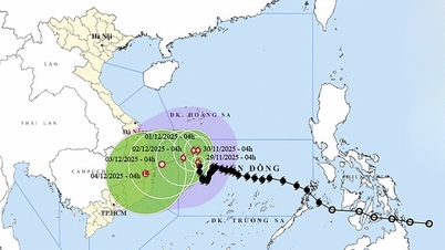
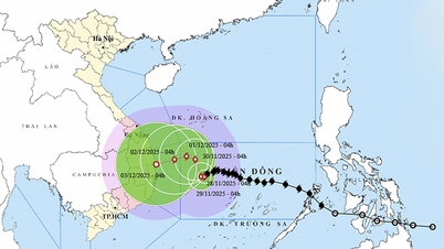
Also according to the National Center for Hydro-Meteorological Forecasting, from around mid-June 2023, storms or tropical depressions may begin to appear in the East Sea.
From August to October 2023, the number of storms/tropical depressions in the East Sea is likely to be lower than the average of many years in the same period (during this period, there are usually 6-7 storms/tropical depressions active in the East Sea) and mainly affect the North and Central regions. Although the number of storms is expected to be lower, people need to be on guard against storms with complex developments in both trajectory and intensity, which will greatly affect activities at sea as well as life and construction works.
Nguyen Hue
Useful
Emotion
Creative
Unique
Wrath
Source


![[Photo] 60th Anniversary of the Founding of the Vietnam Association of Photographic Artists](/_next/image?url=https%3A%2F%2Fvphoto.vietnam.vn%2Fthumb%2F1200x675%2Fvietnam%2Fresource%2FIMAGE%2F2025%2F12%2F05%2F1764935864512_a1-bnd-0841-9740-jpg.webp&w=3840&q=75)


![[Photo] National Assembly Chairman Tran Thanh Man attends the VinFuture 2025 Award Ceremony](/_next/image?url=https%3A%2F%2Fvphoto.vietnam.vn%2Fthumb%2F1200x675%2Fvietnam%2Fresource%2FIMAGE%2F2025%2F12%2F05%2F1764951162416_2628509768338816493-6995-jpg.webp&w=3840&q=75)


Comment (0)