
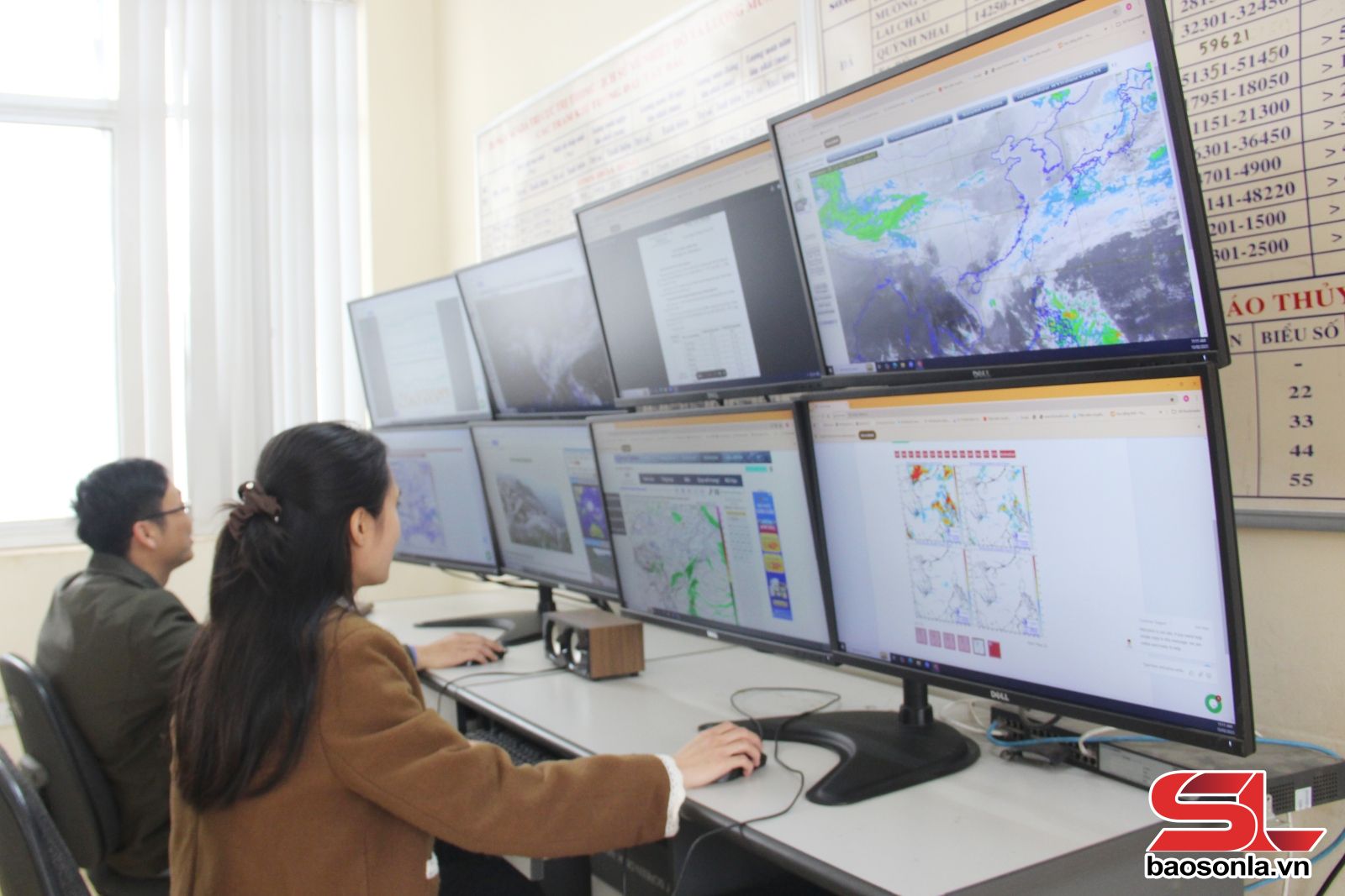
A typical example is the initiative to apply software to collect, manage, analyze and display geographic information (ArcGIS) and the Python programming language to build tools to create forecast maps, meteorological and hydrological factors, helping to issue weather forecast bulletins quickly and accurately.
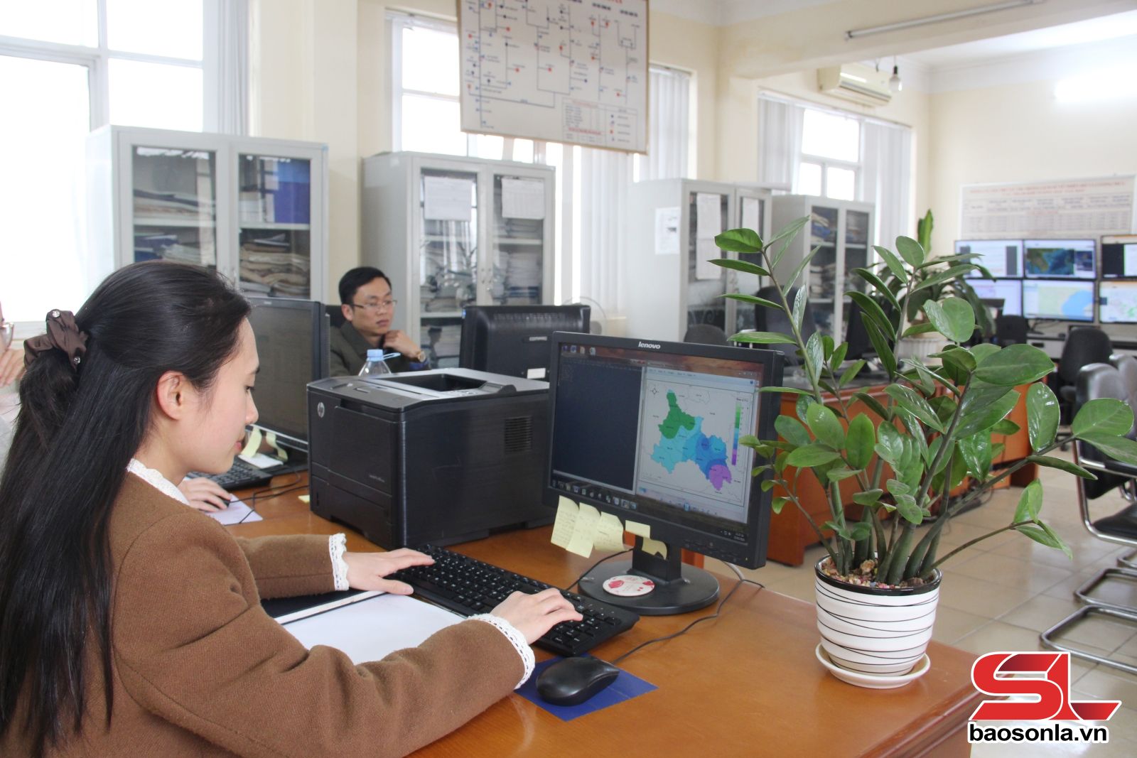
Small and dynamic, Nguyen Thi Thanh Lam, hydrometeorological forecaster, Meteorological and Hydrological Station (KTTV) of Son La province is the owner of the initiative. Ms. Lam shared: To improve the method of building forecast maps, implementing the direction of the unit's leaders, I proactively researched and used ArcGIS 10.8 software, which is a software for collecting, managing, analyzing and displaying geographic information, and Python 2.7 programming language. After successful research, I deployed and guided meteorological forecasters to apply it to make weather forecast bulletins. From March 2024 to now, there have been hundreds of forecast bulletins and warnings made using this method, bringing efficiency in weather forecasting, serving production and economic development for the people.
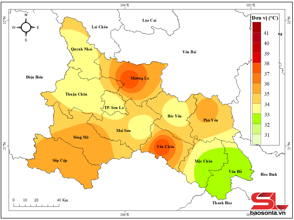
Talking about the automatic map editing tool, Ms. Lam explained: The tool is designed simply, allowing any forecaster to use it, without requiring many operations and complicated commands on graphics software like before. First, the forecaster will compile a bulletin according to the template and provide forecast values for each forecast point. Then, when the forecast value is available, the forecaster will enter that value into the automatic map editing program, the program will automatically create a map and interpolate the forecast elements according to the value the forecaster enters, the created map will be automatically saved to the pre-set folder address, then the forecaster will use the command to copy and paste the map into the previously compiled forecast bulletin.
Promoting the practical effectiveness of the initiative, from June 2024 until now, Ms. Lam has also transferred and guided the method to Lai Chau Provincial Hydrometeorological Station and Dien Bien Provincial Hydrometeorological Station, in which Lai Chau Provincial Hydrometeorological Station has applied the initiative to produce more than 100 news bulletins, Dien Bien Provincial Hydrometeorological Station has produced nearly 300 news bulletins.
Ms. Lam's initiative not only simplifies the process of making bulletins for forecasters, but also contributes to improving the quality of all types of meteorological forecast and warning bulletins, all exceeding the targets assigned by the Northern Mountainous Region Hydrometeorological Station, specifically: 10-day point weather forecasts reached 79.3%, exceeding the assigned target by 9.3%; monthly weather forecast quality reached 84.6%, exceeding the assigned target by 14.8%; dangerous weather quality reached 85.5%, exceeding the assigned target by 7.5%.
Mr. Nguyen Van Nguyen, Director of Son La Provincial Hydrometeorological Station commented: Previously, when manually editing maps, it took about 15-20 minutes. After applying Comrade Lam's initiative, the map editing time was shortened to 2-3 minutes. The process of making bulletins is simplified, the map products created are intuitive and vivid; ensuring time and reliability when editing and issuing forecast bulletins quickly and promptly, to provide proactive and early response plans to natural disasters.
Source: https://baosonla.vn/xa-hoi/sang-kien-tieu-bieu-trong-du-bao-thoi-tiet-HF1NC7JNg.html
![[Photo] Prime Minister Pham Minh Chinh works with the Standing Committee of Thai Binh Provincial Party Committee](https://vphoto.vietnam.vn/thumb/1200x675/vietnam/resource/IMAGE/2025/5/12/f514ab990c544e05a446f77bba59c7d1)
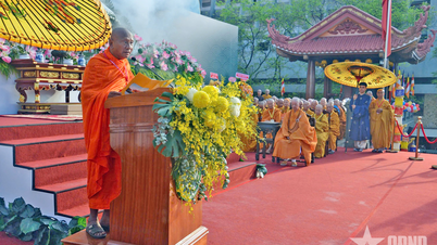
![[Photo] Buddha's Birthday 2025: Honoring the message of love, wisdom, and tolerance](https://vphoto.vietnam.vn/thumb/1200x675/vietnam/resource/IMAGE/2025/5/12/8cd2a70beb264374b41fc5d36add6c3d)

![[Photo] Prime Minister Pham Minh Chinh starts construction of vital highway through Thai Binh and Nam Dinh](https://vphoto.vietnam.vn/thumb/1200x675/vietnam/resource/IMAGE/2025/5/12/52d98584ccea4c8dbf7c7f7484433af5)


Comment (0)