
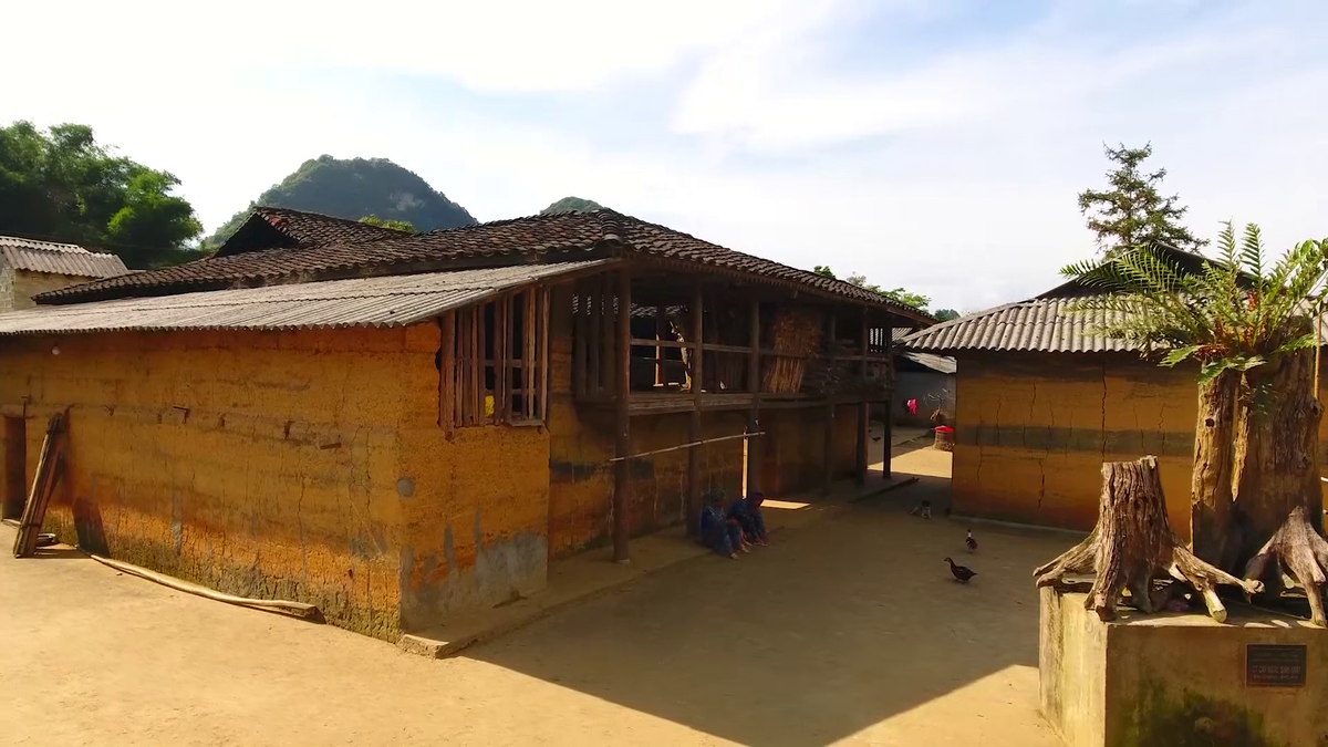
According to the project, the planning scope includes the administrative boundaries of Chi Thanh town and the communes of An Cu, An Dan, An Ninh Dong, An Ninh Tay, An Thach (excluding the area under the General Planning Project for the construction of the area around O Loan lagoon). At the same time, research, update and demonstrate to ensure synchronization for the area under the scope of the General Planning Project for the construction of the area around O Loan lagoon and the entire area under the administrative boundaries of An Chan and An My communes according to the General Planning Project of Tuy Hoa city and neighboring areas, Phu Yen province until 2040 approved by the Provincial People's Committee.
The planned area is expected to have a population of 66,000 people by 2030; and 80,000 people by 2035.
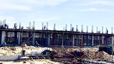
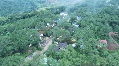
The urban area develops according to a multipolar model. Development space is concentrated in the eastern plain, along National Highway 1 and the coastal road of the province. Chi Thanh town is the center, supporting the development of the entire urban area. National Highway 1 and the Eastern North-South Expressway are inter-regional connections, urban development and industrial functions, commercial hubs, and logistic services. Along the coastal road, service and tourism functions associated with the sea space are developed, forming urban clusters to support the overall development of the entire urban area and each tourism and service area.
Source: https://baophuyen.vn/kinh-te/202504/quy-hoach-chung-do-thi-chi-thanh-va-vung-phu-can-den-nam-2035-5f80a3d/

![[Photo] Magical moment of double five-colored clouds on Ba Den mountain on the day of the Buddha's relic procession](https://vphoto.vietnam.vn/thumb/1200x675/vietnam/resource/IMAGE/2025/5/9/7a710556965c413397f9e38ac9708d2f)


![[Photo] General Secretary To Lam begins official visit to Russia and attends the 80th Anniversary of Victory over Fascism](https://vphoto.vietnam.vn/thumb/1200x675/vietnam/resource/IMAGE/2025/5/8/5d2566d7f67d4a1e9b88bc677831ec9d)


Comment (0)