
The Rappler news site reported today, September 11, that a tropical depression outside the Philippine Monitoring Area (PAR) has strengthened into a tropical storm as it passed near the US island of Guam on the evening of September 10. This new storm has been internationally named Bebinca.

Tropical Storm Bebinca was located 2,105 km east of Eastern Visayas (Philippines) at 10 p.m. September 10.
Photo: The Rappler screenshot
In a notice posted early on September 11, the Philippine Atmospheric, Geophysical and Astronomical Services Administration (PAGASA) said Typhoon Bebinca was 2,105 km east of the country's Eastern Visayas region at 10 p.m. on September 10.
The tropical storm is moving northeast at 20 km/h. As of now, Bebinca's maximum sustained winds are 65 km/h and gusts up to 80 km/h.
PAGASA's initial forecast shows that Typhoon Bebinca may enter PAR on the evening of September 13, and leave PAR on September 14.
When it enters PAR, Bebinca could be a severe tropical storm, as it could reach that level by the morning of September 13. PAGASA does not rule out the possibility of Bebinca becoming a stronger storm, “as the weather disturbance remains over the Pacific Ocean.”
While Bebinca is expected to stay in the PAR for a short period, the tropical storm is forecast to only cross the sea near the northeastern boundary of the PAR, meaning it will not make landfall. Tropical Storm Bebinca is also not forecast to directly impact any part of the Philippines.
However, PAGASA warned that Bebinca will intensify the southwest monsoon. The southwest monsoon will then cause scattered rains in the Visayas and Palawan provinces, as well as scattered showers and thunderstorms in some other areas, starting tomorrow, September 12.
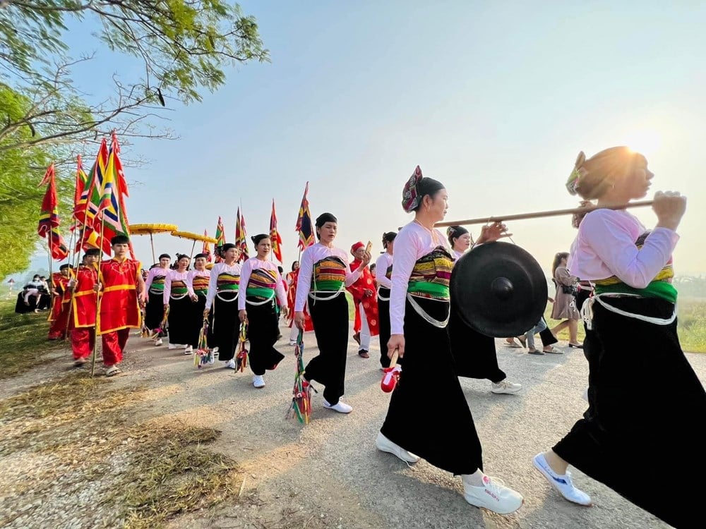
![[Photo] Vietnam shines at Paris International Fair 2025 with cultural and culinary colors](https://vstatic.vietnam.vn/vietnam/resource/IMAGE/2025/5/4/74b16c2a197a42eb97597414009d4eb8)

![[Photo] Bus station begins to get crowded welcoming people returning to the capital after 5 days of holiday](https://vstatic.vietnam.vn/vietnam/resource/IMAGE/2025/5/4/c3b37b336a0a450a983a0b09188c2fe6)
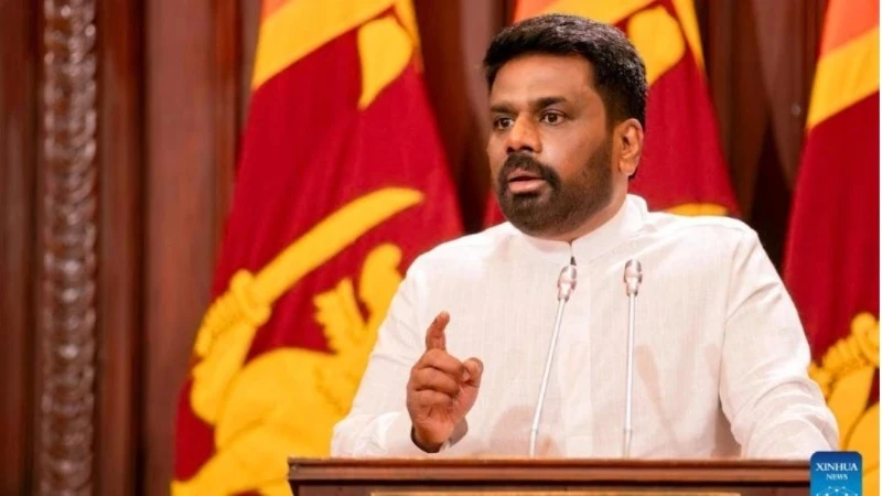
![[Photo] General Secretary To Lam receives Sri Lankan President Anura Kumara Dissanayaka](https://vstatic.vietnam.vn/vietnam/resource/IMAGE/2025/5/4/75feee4ea0c14825819a8b7ad25518d8)


![[Video]. Building OCOP products based on local strengths](https://vstatic.vietnam.vn/vietnam/resource/IMAGE/2025/5/3/61677e8b3a364110b271e7b15ed91b3f)


Comment (0)