
Hat Luu Commune is located in an area with steep mountainous terrain, with heavy rainfall during the rainy season. In recent years, this area has recorded many cases of flash floods and landslides, causing severe damage.
According to statistics, in the flash flood in October 2017, more than 20 households in the village suffered severe damage; many households lost their lives, their homes, their properties, and many rice fields were buried by rocks and soil. Not to mention that every year, dozens of landslides and flash floods occur, affecting transportation, irrigation, agricultural production, and hundreds of households. This poses an urgent need for research and risk mapping to take timely response measures.
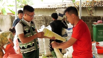
The technical assistance project "Improving capacity to reduce flash flood and landslide risks in the Northern mountainous region" funded by the Japan International Cooperation Agency (JICA) has helped Yen Bai province in general and Tram Tau district in particular in the work of preventing and combating flash floods and landslides in the locality. The project's products were piloted in Hat Luu commune with activities such as mapping flash flood and landslide risks in the Hat Luu basin; installing a landslide monitoring and early warning system in Luu 1 village; developing a plan to reduce flash flood and landslide risks in the Hat Luu basin, helping the government and people proactively prevent and promptly evacuate areas at high risk of flash floods and landslides.
In particular, this product has been tested through storm No. 3 YAGI in September 2024 and was highly appreciated by local authorities. The Hat Luu basin flash flood and landslide risk map product is a very important product that helps local authorities integrate with disaster prevention plans, use land for sustainable socio-economic development in the locality, helping local authorities carry out disaster prevention work according to the 4 on-site motto with high efficiency, minimizing damage caused by natural disasters.
Mr. Toru KOIKE - Head of the expert team of the Japan International Cooperation Agency (JICA) said: "Mapping the risk of flash floods and landslides in Hat Luu aims to identify high-risk areas, thereby proposing effective prevention and response solutions. This map is not only a useful tool for state management agencies but also helps people to be more aware of risks and how to prevent them."
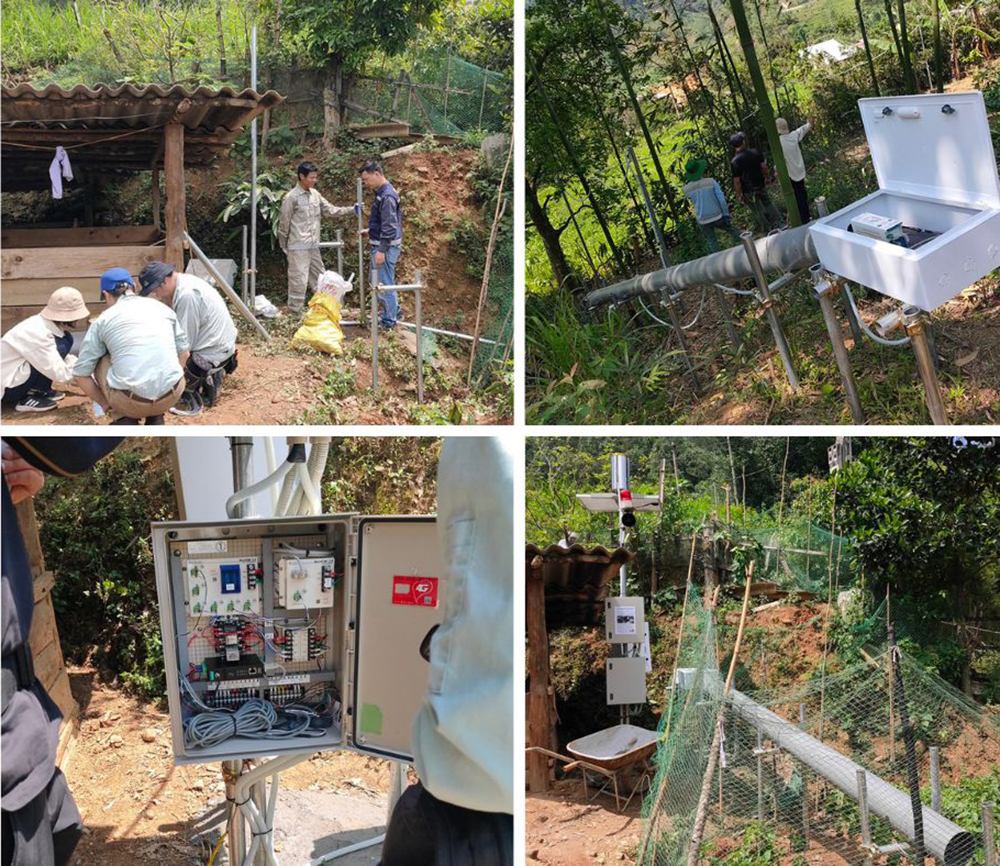
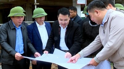
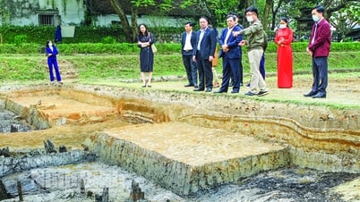
A delegation of experts from the Japan International Cooperation Agency (JICA) and leaders of the Department of Dykes and Flood Control, the provincial Flood Control Office inspected the installation of landslide sensors in Mo De commune, Mu Cang Chai district.
It is known that before deploying the use of the flash flood and landslide risk map product, experts from the Japan International Cooperation Agency (JICA) surveyed the site, conducted field surveys to collect data on terrain, geology, climate and other risk factors. Then, GIS software was used to analyze the collected data, identifying high-risk areas. From there, a flash flood and landslide risk map was created based on the analysis results. Finally, the accuracy of the map was assessed and adjusted if necessary based on feedback from the community and experts.
However, Mr. Toru KOIKE also said that one of the important factors to improve risk reduction capacity is to train local officials and people on disaster risk awareness, thereby forming a proactive mindset to respond to flash floods and landslides.
Mr. Tran Anh Van - Deputy Head of Irrigation Department of Yen Bai Province Department of Agriculture and Environment said: "In order for the coordination between experts from the Japan International Cooperation Agency (JICA) with local authorities and people to be effective, it is necessary to have training sessions and instructions on risk maps, which explain how to use the maps to make response plans. At the same time, the training will provide the necessary skills to respond to flash floods and landslides."
According to Mr. Van, cooperation between government agencies, non-governmental organizations and the community is very important. Parties can coordinate in updating data on weather conditions and natural disaster risks; make a master plan for the area, ensuring that everyone knows how to respond when an incident occurs. On that basis, building and improving infrastructure such as drainage systems, flood protection dykes, and anti-landslide works are necessary to minimize the impact of flash floods and landslides. These works need to be designed based on risk maps to ensure effectiveness.
Improving the capacity to reduce the risk of flash floods and landslides in the Hat Luu basin of Tram Tau district through risk mapping is a necessary and urgent step and has initially recognized its effectiveness in clearly identifying safe areas when there is an incident to evacuate and stabilize the lives of local people and infrastructure in the long term. In particular, risk maps not only help protect people's lives and property but also contribute to the sustainable development of the area. With Yen Bai province, the terrain is mostly mountainous, it is necessary for agencies and functional sectors to pay attention and disseminate this application to other districts and towns in the whole province. Only then will the response to climate change be more proactive by the government and people, minimizing the damage caused by flash floods and landslides.
Thuy Thanh
Source: https://baoyenbai.com.vn/12/348268/Nang-cao-nang-luc-giam-thieu-rui-ro-lu-quet-va-sat-lo-dat-Nhin-tu--Hat-Luu.aspx
![[Photo] Prime Minister Pham Minh Chinh chairs conference on anti-smuggling, trade fraud, and counterfeit goods](https://vphoto.vietnam.vn/thumb/1200x675/vietnam/resource/IMAGE/2025/5/14/6cd67667e99e4248b7d4f587fd21e37c)


Comment (0)