
The probability of La Nina occurring in the coming months is significantly lower than previous forecasts. The strongest cold air occurs around the end of December with widespread severe cold spells.
The National Center for Hydro-Meteorological Forecasting has just issued a seasonal meteorological forecast and warning nationwide, from December 2024 to May 2025.
Specifically, regarding the general weather trend, Deputy Director Hoang Phuc Lam said that the ENSO phenomenon with the standard deviation of sea surface temperature in the equatorial central Pacific region is at a level lower than the long-term average (TBNN) of -0.3 degrees in the first week of November.
According to the latest forecasts, the probability of La Nina appearing in the last months of 2024 and early 2025 has decreased significantly compared to previous forecasts. In the next 3 months, La Nina has about 50-55% chance of appearing, although the 3-month average sea surface temperature standard deviation is still lower than the average, but it is unlikely to exceed the -0.5 degree threshold (the threshold to determine La Nina).

Because La Nina is not yet clear, the period from December 2024 to February 2025, storm, rain, and cold air patterns across the country are basically equivalent to the average.
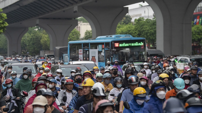
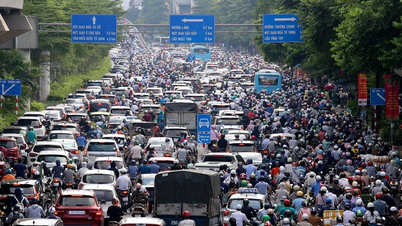
In particular, the activity of storms/tropical depressions (TDPs) in the East Sea and their impact on the mainland of our country is likely to be at a level similar to the average (average in the East Sea: 1.4 storms, making landfall: 0.2 storms). Storms/TDPs making landfall are likely to be concentrated in the Central region and the Southern provinces.
Notably, there is still the possibility of dangerous weather phenomena such as thunderstorms, tornadoes, lightning and strong gusts of wind across the country.
At the same time, heavy rains will continue to appear in the Central and South Central regions in the second half of November and early December.
Mr. Lam also noted that the rainy season in the Central, Central Highlands and Southern regions may end later than usual (around the end of November in the Central Highlands and Southern regions and the end of December in the Central and South Central regions).
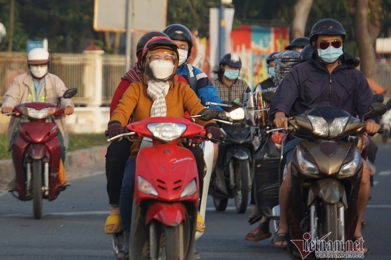
In particular, during this period, cold air is likely to be active and cause severe cold spells; it is necessary to guard against the possibility of prolonged spells, especially in the northern mountainous areas, accompanied by frost and ice.
“The phenomenon of severe cold in the Northern region is likely to appear widely from the second half of December (equivalent to the average),” Mr. Lam noted.
In a further forecast, from March to May 2025, the ENSO phenomenon is likely to be in a neutral state with a probability of 55-70%.
Also during this period, storm/tropical tropical depression activity in the East Sea and landfall were at the same level as the average (average in the East Sea: 0.5 storms, no landfalls).
Cold air is likely to continue to appear around March, but with less intensity.
In addition, during the dry season in the Southern region, unseasonal rain may occur.
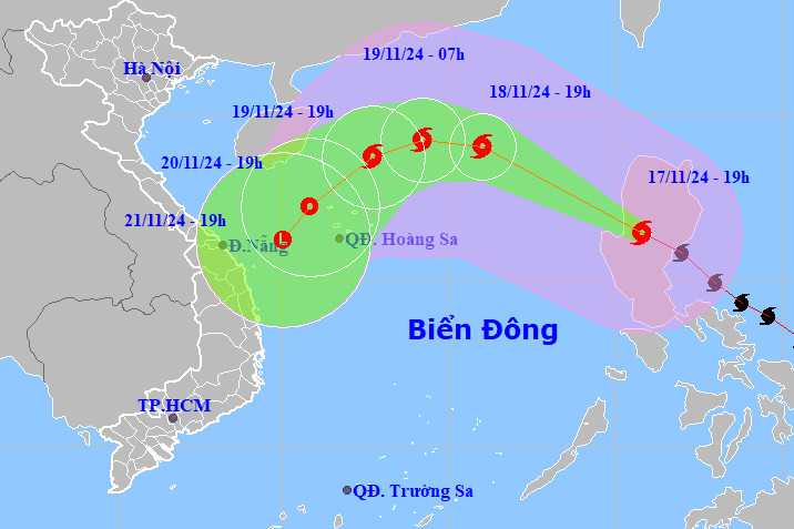
Typhoon Man-yi downgraded by 2 levels, about to move into the East Sea as storm number 9
Source: https://vietnamnet.vn/khong-khi-lanh-manh-nhat-vao-nua-cuoi-thang-12-2342916.html


Comment (0)