
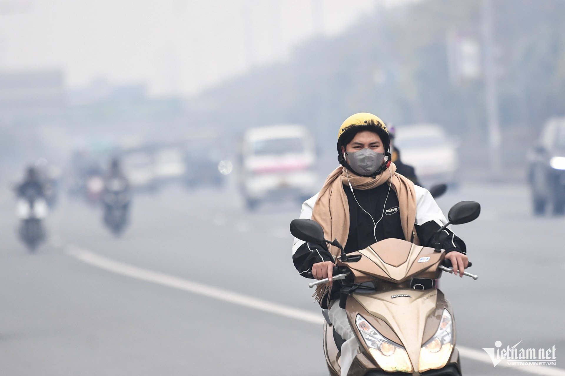
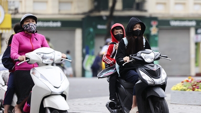
In March, cold air tends to move eastward and change, causing many days of light rain, drizzle and fog in the northern provinces. In March and April, heat waves can occur mainly in the Northwest and Central regions.
Mr. Hoang Phuc Lam, Deputy Director of the National Center for Hydro-Meteorological Forecasting, has just said that currently, the ENSO phenomenon is in La Nina conditions, with the standard deviation of sea surface temperature in the equatorial central Pacific region being 0.6 degrees Celsius lower than the average of many years in the first week of February. From March to May 2025, ENSO is likely to gradually shift to a neutral state with a probability of 60-70%.
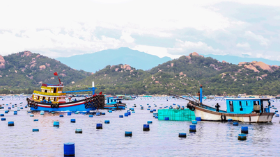
At the same time, from March to May, storms/tropical depressions are less likely to be active in the East Sea and are equivalent to the average of many years (0.9 storms).
In March, cold air activity was approximately at the multi-year average, with the continental cold high pressure center shifting to the East, causing many days of light rain, drizzle and fog in the North. From April 2025, cold air activity gradually decreased.
Also in March, the Central and Southern regions are likely to have some scattered showers and thunderstorms in some places. From April, rain is likely to appear early and increase in the Central Highlands and Southern regions; in the Northern region, the rainy season appears similar to the average of many years.
Heat waves are likely to appear later in the Central Highlands and the South with fewer days than in 2024. In the North and Central regions in March and April, heat waves may occur mainly in the Northwest, the North and the Central regions; the intensity of heat waves is likely to be less severe than in the same period last year. From May 2025, heat waves in the North will gradually spread to the East, and heat waves in the Central region are likely to increase.
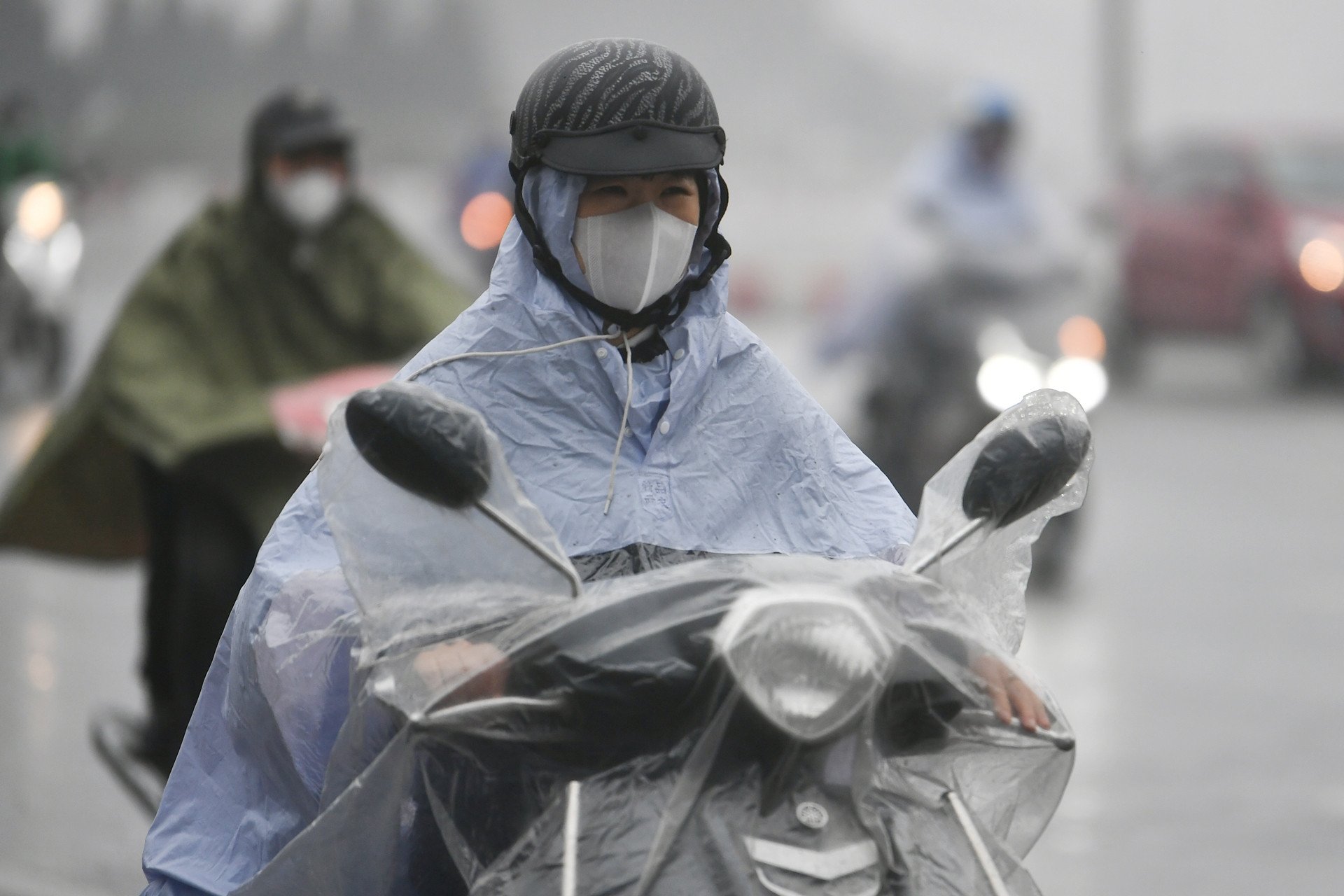
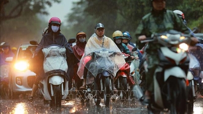
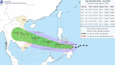
Dr. Hoang Phuc Lam noted that during this period, cold air is likely to cause strong winds and large waves, affecting the activities of ships. On land, cold air shifts to the East and changes, causing many days of light rain, drizzle and fog, especially in the northeastern and north central provinces, which will affect people's daily activities and traffic.
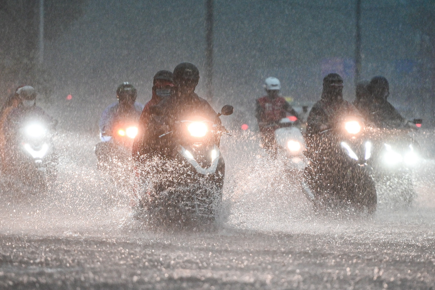
In addition, there is a possibility of dangerous weather phenomena such as thunderstorms, tornadoes, lightning, hail and dangerous strong winds across the country. Heat waves have a negative impact on the daily life and health of the community.
It is forecasted that in March-May, the average temperature across the country will be approximately the same as the average of many years; in May alone, in the Northwest region, it will be 0.5-1 degree higher.
In the rainy season in the Central Highlands and the South, total rainfall is less.
Commenting on meteorological, hydrological and oceanographic trends from June to August 2025, Mr. Hoang Phuc Lam said that during this period, the ENSO phenomenon is likely to remain in a neutral state. Tropical storm/low pressure activity in the East Sea and direct impacts on the mainland are at a level equivalent to the average of many years (average of many years in the East Sea: 5.2 storms, landfall: 1.9 storms).
In the Central Highlands and the South, widespread heat waves are likely to end from June 2025. From June to August, heat waves are likely to continue in the North and Central regions. During the rainy months in the Central Highlands and the South, total rainfall tends to be lower than the average of many years due to the southwest monsoon being weaker than usual.
In June, the average temperature across the country is generally at a level similar to the average of many years; from July to August it is 0.5-1 degree higher.
Cold air weakens rapidly, the North is filled with fog and drizzle again
Weather forecast for the next 10 days: The North will welcome two more cold air waves with rain
Source: https://vietnamnet.vn/khong-khi-lanh-lech-dong-bien-tinh-mien-bac-nhieu-ngay-suong-mu-mua-phun-2371610.html
![[Photo] Prime Minister Pham Minh Chinh receives the Chairman of the Japan-Vietnam Friendship Association in the Kansai region](https://vphoto.vietnam.vn/thumb/1200x675/vietnam/resource/IMAGE/2025/11/03/1762176259003_ndo_br_dsc-9224-jpg.webp)
![[Photo] Lam Dong: Close-up of illegal lake with broken wall](https://vphoto.vietnam.vn/thumb/1200x675/vietnam/resource/IMAGE/2025/11/03/1762166057849_a5018a8dcbd5478b1ec4-jpg.webp)

![[Photo] General Secretary To Lam receives Singaporean Ambassador Jaya Ratnam](https://vphoto.vietnam.vn/thumb/1200x675/vietnam/resource/IMAGE/2025/11/03/1762171461424_a1-bnd-5309-9100-jpg.webp)
![[Photo] Fall Fair 2025 and impressive records](https://vphoto.vietnam.vn/thumb/1200x675/vietnam/resource/IMAGE/2025/11/03/1762180761230_ndo_br_tk-hcmt-15-jpg.webp)


Comment (0)