
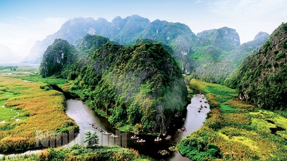
The "Northernmost Point" is actually a rocky outcrop on the banks of the Nho Que River, located in Seo Lung village, Lung Cu commune, Dong Van district, Ha Giang province. According to historical records, in 1960, when writer Nguyen Tuan made a field trip to Ha Giang, he visited Lung Cu commune. At that time, the Lung Cu national flagpole had not yet been erected on the summit of Dragon Mountain as it is today. Upon reaching the "Northernmost Point," Nguyen Tuan hung a map of Vietnam on the wall of a Hmong family's house. He then took a string and placed it at the exact northernmost point of Seo Lung village, letting it hang vertically. The end of the string coincided with the southernmost point in Dat Mui commune, Ngoc Hien district, Ca Mau province, at coordinates 8 degrees 30 minutes North latitude and 104 degrees 50 minutes East longitude. Nguyen Tuan was surprised and concluded that this was indeed the "northernmost point" of the country. From then on, Seo Lung promontory, the northernmost point of the country, came to be known as "Northernmost Point".
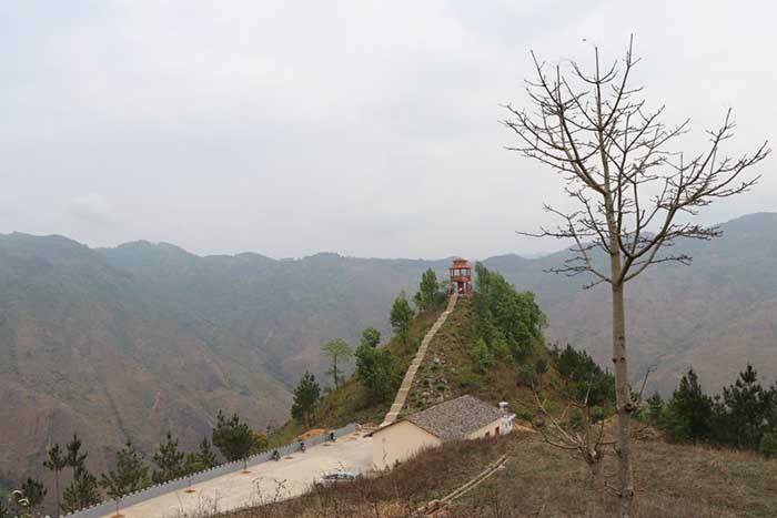
"Northernmost Point" photographed from a distance. (Photo source: st)
The "Northernmost Point" is located in a rugged and difficult-to-access area. In reality, the "Lung Cu National Flagpole" or Milestone 428 (the border demarcation point between Vietnam and China) are symbolic landmarks representing the northernmost point of the country, a destination that many travelers aspire to conquer during their explorations. However, the Vietnam-China border is actually much further away. According to satellite maps, the actual distance between the "Northernmost Point" and the Lung Cu flagpole is 3.3 km, and about 2.2 km from Milestone 428 as the crow flies. Therefore, tourists consider the Lung Cu flagpole, located more than 3 km away, as a landmark when exploring the northernmost point of Vietnam.
Explore the landmarks of Lung Cu commune.
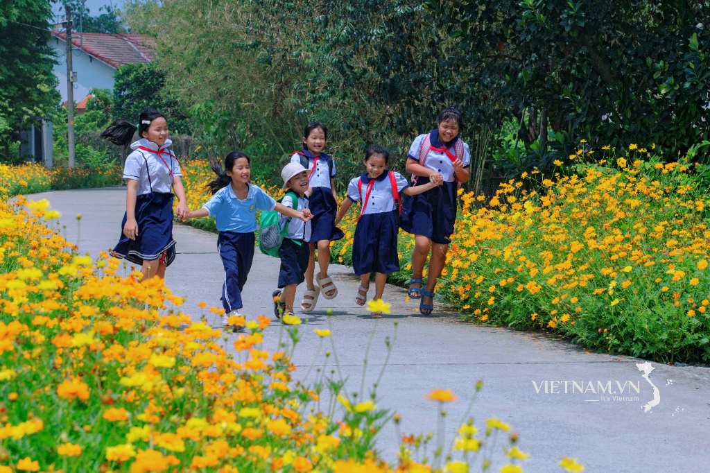
Visiting Lung Cu commune to see the northernmost point of the country, tourists can learn about and visit the Lung Cu National Flagpole. Just about 1km from the flagpole, visitors can explore the Lo Lo Chai Community Tourism Village, home to one of the oldest and smallest ethnic groups in Ha Giang and Vietnam. This area is considered a fairytale land due to its stunning natural scenery, featuring a natural lake called "dragon's eye"; traditional houses with earthen walls and yin-yang tiled roofs typical of the Ha Giang Stone Plateau; characteristic stone fences; and peach, pear, and plum blossoms, all adorned with the colorful costumes of the Lo Lo girls.
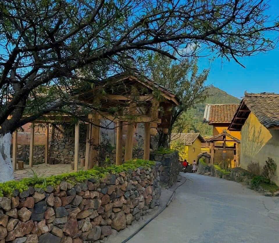
The peaceful beauty of Lo Lo Chai Community Tourism Village.
To have the most meaningful and fulfilling experience when visiting Lung Cu, tourists need to pay attention to personal clothing according to the season, as this is one of the places with very harsh weather in Ha Giang. It is also a border area, so there are many sensitive issues; tourists need to research information carefully if they want to visit border markers or the border line between the two countries.
Source: https://hagiang.gov.vn/diem-du-lich-danh-lam-thang-canh/kham-pha-mom-tot-bac-lung-cu-dong-van-610190


![[Photo] Prime Minister Pham Minh Chinh attends the Conference on the Implementation of Tasks for 2026 of Vietnam Television.](/_next/image?url=https%3A%2F%2Fvphoto.vietnam.vn%2Fthumb%2F1200x675%2Fvietnam%2Fresource%2FIMAGE%2F2026%2F01%2F10%2F1768047311329_ndo_br_dsc-3214-jpg.webp&w=3840&q=75)


![[Infographics] Resolution No. 79-NQ/TW of the Politburo on the development of the state-owned economy](https://vphoto.vietnam.vn/thumb/402x226/vietnam/resource/IMAGE/2026/01/10/1768038914679_chp_3-11-23.jpeg)


Comment (0)