
(NLDO) - Two consecutive strong cold spells have caused rain and severe cold in the North, with some mountainous areas below 8 degrees Celsius.
According to the National Center for Hydro-Meteorological Forecasting, a strong cold air mass has now approached the border of our country. On March 5, this cold air mass will have a weak impact on the mountainous areas of the Northeast.

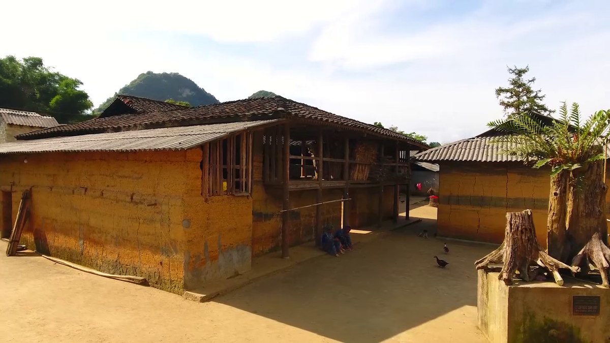
Hanoi and the Northern region will experience heavy rain and cold weather from March 6 to 8. Photo: Van Duan
Then, around the night of March 5 and the day of March 6, the cold air was strengthened, affecting other places in the Northeast and North Central regions, then affecting the Northwest and some places in the Central Central region. Inland, the wind changed to the Northeast, gradually increasing to level 3-4, coastal areas level 4-5, with some places gusting to level 6.
In the North, from March 5, temperatures will gradually decrease. From the night of March 5, the weather will turn cold in the North and North Central regions, with some mountainous areas in the North experiencing severe cold.
From around the night of March 6, the area from Quang Binh to Hue will turn cold. The lowest temperature in this cold air mass in the North is generally 12-15 degrees Celsius, in some mountainous areas below 8 degrees Celsius; North Central region is generally 14-17 degrees Celsius; Quang Binh to Hue is generally 17-20 degrees Celsius.
In Hanoi, the weather has turned cold since early morning on March 6. The lowest temperature in this cold air mass is commonly 13-15 degrees Celsius.
It is forecasted that severe cold in the mountainous areas of the Northeast will likely last until around March 8.
In the northern part of the Gulf of Tonkin from the night of March 4, the wind changed direction to Northeast level 4-5. From early morning of March 6, in the Gulf of Tonkin, the Northeast wind gradually increased to level 6, sometimes level 7, gusting to level 8-9, rough seas, waves 2-3.5 m high.
In the North East Sea (including the Hoang Sa archipelago), the Northeast wind is strong at level 6, sometimes at level 7, gusting to level 8-9, from early morning on March 7, it gradually increases to level 7, gusting to level 9, rough seas, waves 3-5 m high. From the night of March 6, the sea from Quang Tri to Khanh Hoa has the Northeast wind gradually increases to level 6, gusting to level 7-8; waves 2-4 m high.
Due to the influence of strengthening cold air, the Northern and North Central regions have scattered rain and light rain.
Weather forecast for regions on March 5
Hanoi area is cloudy, with scattered rain and light rain. Northeast wind level 2-3. Cold at night and morning. Lowest temperature: 20-22 degrees. Highest temperature: 24-26 degrees.
The Northwest is cloudy, with some rain at night and sunny during the day, with some hot spots in the Northwest. Light wind. Cold at night and in the morning. Lowest temperature: 19-22 degrees, some places below 18 degrees. Highest temperature: 25-28 degrees; in the Northwest 31-34 degrees, some places above 35 degrees.
Northeast region: Cloudy, with scattered rain and light rain. Northeast wind level 2-3. Cold at night and morning. Lowest temperature: 19-22 degrees, in mountainous areas below 18 degrees. Highest temperature: 23-26 degrees.
Thanh Hoa to Hue City, in the North it is cloudy, with rain in some places, early morning there is scattered fog and light fog, afternoon and evening the clouds decrease and the sky is sunny; in the South it is cloudy, at night there are showers and thunderstorms in some places, sunny during the day. Lowest temperature: 21-24 degrees. Highest temperature: North 23-26, some places above 26 degrees; South 27-30 degrees, some places above 30 degrees.
The area from Da Nang City to Binh Thuan is cloudy, with showers and thunderstorms in some places in the late afternoon and at night, and sunny during the day. Light wind. During thunderstorms, there is a possibility of tornadoes, lightning and strong gusts of wind. Lowest temperature: 22-25 degrees. Highest temperature: 29-32 degrees, some places above 32 degrees.
The Central Highlands is cloudy, with showers and thunderstorms in some places in the late afternoon and at night, and sunny during the day. Light wind. There is a possibility of tornadoes, lightning and strong gusts of wind during thunderstorms. Lowest temperature: 19-22 degrees, some places below 19 degrees. Highest temperature: 31-34 degrees, some places above 35 degrees.
Southern region is cloudy, no rain at night, sunny during the day, some places are hot. Light wind. Lowest temperature: 23-26 degrees. Highest temperature: 31-34 degrees, some places above 35 degrees.
Source: https://nld.com.vn/hai-dot-khong-khi-lanh-manh-lien-tiep-tran-ve-mien-bac-tro-ret-co-noi-8-do-c-196250305090603127.htm


![[Photo] Magical moment of double five-colored clouds on Ba Den mountain on the day of the Buddha's relic procession](https://vphoto.vietnam.vn/thumb/1200x675/vietnam/resource/IMAGE/2025/5/9/7a710556965c413397f9e38ac9708d2f)


![[Photo] General Secretary To Lam begins official visit to Russia and attends the 80th Anniversary of Victory over Fascism](https://vphoto.vietnam.vn/thumb/1200x675/vietnam/resource/IMAGE/2025/5/8/5d2566d7f67d4a1e9b88bc677831ec9d)


Comment (0)