
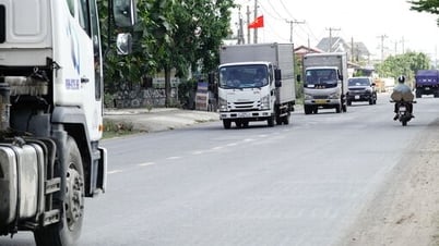
Mr. Dang Van Luong, Deputy Director of Lao Cai Department of Transport, said that adjusting the scope and route of provincial roads will facilitate investment, exploitation and management.
Specifically, the adjusted routes include:
Provincial Road 151, 39.8 km long, starting point from National Highway 4E, Giao Binh village, Xuan Giao commune, Bao Thang district - ending point National Highway 279 (Khe Lech bridgehead), Son Thuy commune, Van Ban district.
Provincial Road 151B, length 50.6 km, starting point of Provincial Road 151, Vo Lao Commune, Van Ban District - ending point of Nam Tha Commune, Van Ban District (administrative boundary of Lao Cai Province).
Provincial Road 151C, length 37.6 km, starting point National Highway 4E (head of Pho Lu bridge), Son Ha commune, Bao Thang district - ending point Tan An commune, Van Ban district (administrative boundary of Lao Cai and Yen Bai provinces).
Provincial Road 152, length 68.2 km, starting point National Highway 4D, Sa Pa ward, Sa Pa town - ending point National Highway 4E (beginning of Pho Lu bridge), Son Ha commune, Bao Thang district.
Provincial Road 152B, 55 km long, starting point of Provincial Road 152 in Muong Bo commune, Sa Pa town - ending point of National Highway 279, Duong Quy commune, Van Ban district.
Provincial Road 153, 66.3 km long, starting point from Provincial Road 154, Coc Ly Commune, Bac Ha District - ending point National Highway 279, Nghia Do Commune, Bao Yen District.
Provincial Road 154, length 110.5 km, starting point National Highway 70, Ban Phiet commune, Bao Thang district - ending point National Highway 70, Phong Nien commune, Bao Thang district.
Provincial Road 155, length 64.5 km, starting point of Provincial Road 158, Den Sang Commune, Bat Xat District - ending point of National Highway 4D, Lao Cai City.
Provincial Road 156, length 58 km, starting point D1 Road, Kim Thanh Industrial Park, Lao Cai City - ending point Provincial Road 158, Y Ty Commune, Bat Xat District.
Provincial Road 156B, length 18.4 km, starting point Ban Vuoc Border Gate, Ban Vuoc Commune, Bat Xat District - ending point Provincial Road 155, Ban Xeo Commune, Bat Xat District.
Provincial Road 157, 43 km long, starting point Lao Cai ward (head of Pho Moi bridge), Lao Cai city - ending point National Highway 4E, Xuan Quang commune, Bao Thang district.
Provincial Road 158, 71.2 km long, starting point National Highway 4E, Tung Sang village, A Mu Sung commune, Bat Xat district - ending point Sang Ma Sao commune, Bat Xat district (administrative boundary of Lao Cai and Lai Chau provinces).

Provincial Road 159, 68 km long, starting point National Highway 4, Si Ma Cai town, Si Ma Cai district - ending point Provincial Road 153, Ban Lien commune, Bac Ha district.
Provincial Road 160, 107.4 km long, starting point of National Highway 4E at Lang Giang bridge, Xuan Tang ward, Lao Cai city - ending point at Viet Tien commune, Bao Yen district (administrative boundary of Lao Cai and Yen Bai provinces).
Provincial Road 161, 64.2 km long, starting point Van Hoa commune, Lao Cai city - ending point Bao Ha commune, Bao Yen district (administrative boundary of Lao Cai and Yen Bai provinces).
Provincial Road 162, length 37.5 km, starting point National Highway 279, Khanh Yen Thuong commune, Van Ban district - ending point Pho Lu town, Bao Thang district.
National Highway 4D bypass, length 8.7 km, starting point National Highway 4D, O Quy Ho ward, Sa Pa town - ending point National Highway 4D, Sa Pa ward, Sa Pa town.
Source
![[Photo] General Secretary To Lam attends the conference to review 10 years of implementing Directive No. 05 of the Politburo and evaluate the results of implementing Regulation No. 09 of the Central Public Security Party Committee.](https://vphoto.vietnam.vn/thumb/1200x675/vietnam/resource/IMAGE/2025/5/19/2f44458c655a4403acd7929dbbfa5039)
![[Photo] Close-up of Tang Long Bridge, Thu Duc City after repairing rutting](https://vphoto.vietnam.vn/thumb/1200x675/vietnam/resource/IMAGE/2025/5/19/086736d9d11f43198f5bd8d78df9bd41)
![[Photo] Panorama of the Opening Ceremony of the 43rd Nhan Dan Newspaper National Table Tennis Championship](https://vphoto.vietnam.vn/thumb/1200x675/vietnam/resource/IMAGE/2025/5/19/5e22950340b941309280448198bcf1d9)
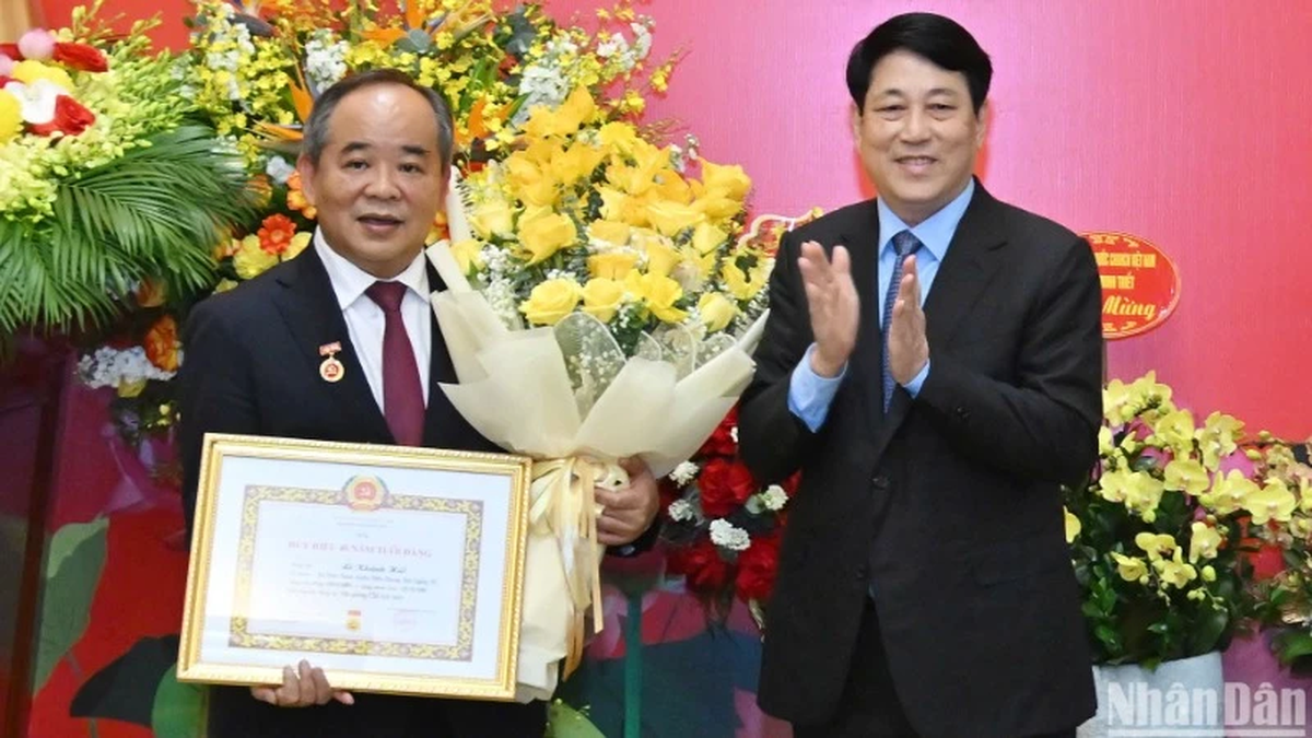
![[Photo] President Luong Cuong presents the 40-year Party membership badge to Chief of the Office of the President Le Khanh Hai](https://vphoto.vietnam.vn/thumb/1200x675/vietnam/resource/IMAGE/2025/5/19/a22bc55dd7bf4a2ab7e3958d32282c15)


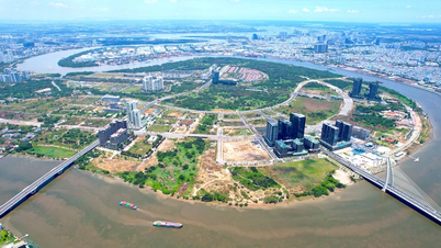
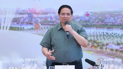
![[Photo] Prime Minister Pham Minh Chinh inspects the progress of the National Exhibition and Fair Center project](https://vphoto.vietnam.vn/thumb/1200x675/vietnam/resource/IMAGE/2025/5/19/35189ac8807140d897ad2b7d2583fbae)


![[VIDEO] - Enhancing the value of Quang Nam OCOP products through trade connections](https://vphoto.vietnam.vn/thumb/402x226/vietnam/resource/IMAGE/2025/5/17/5be5b5fff1f14914986fad159097a677)


Comment (0)