
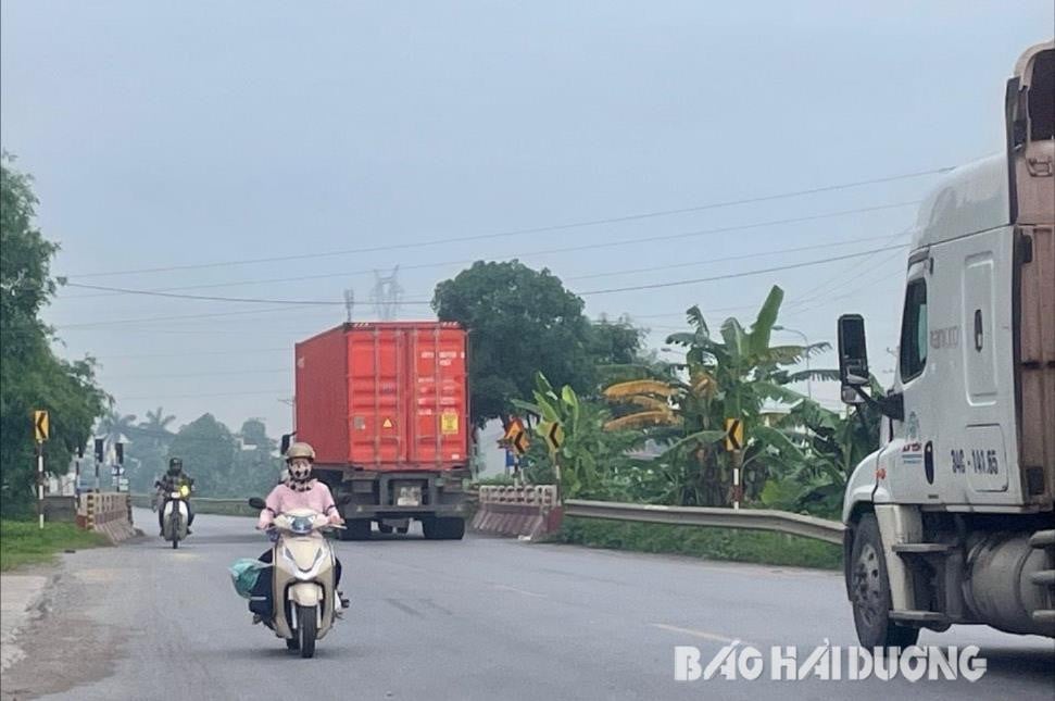
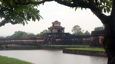
Dangerous locations
At the end of 2023, the Provincial Traffic Safety Committee, the Traffic Police Department (Provincial Police), and the Department of Transport coordinated to inspect and review infrastructure shortcomings and potential traffic accident points in the province. These included 6 locations with potential traffic accident risks on National Highway 38.
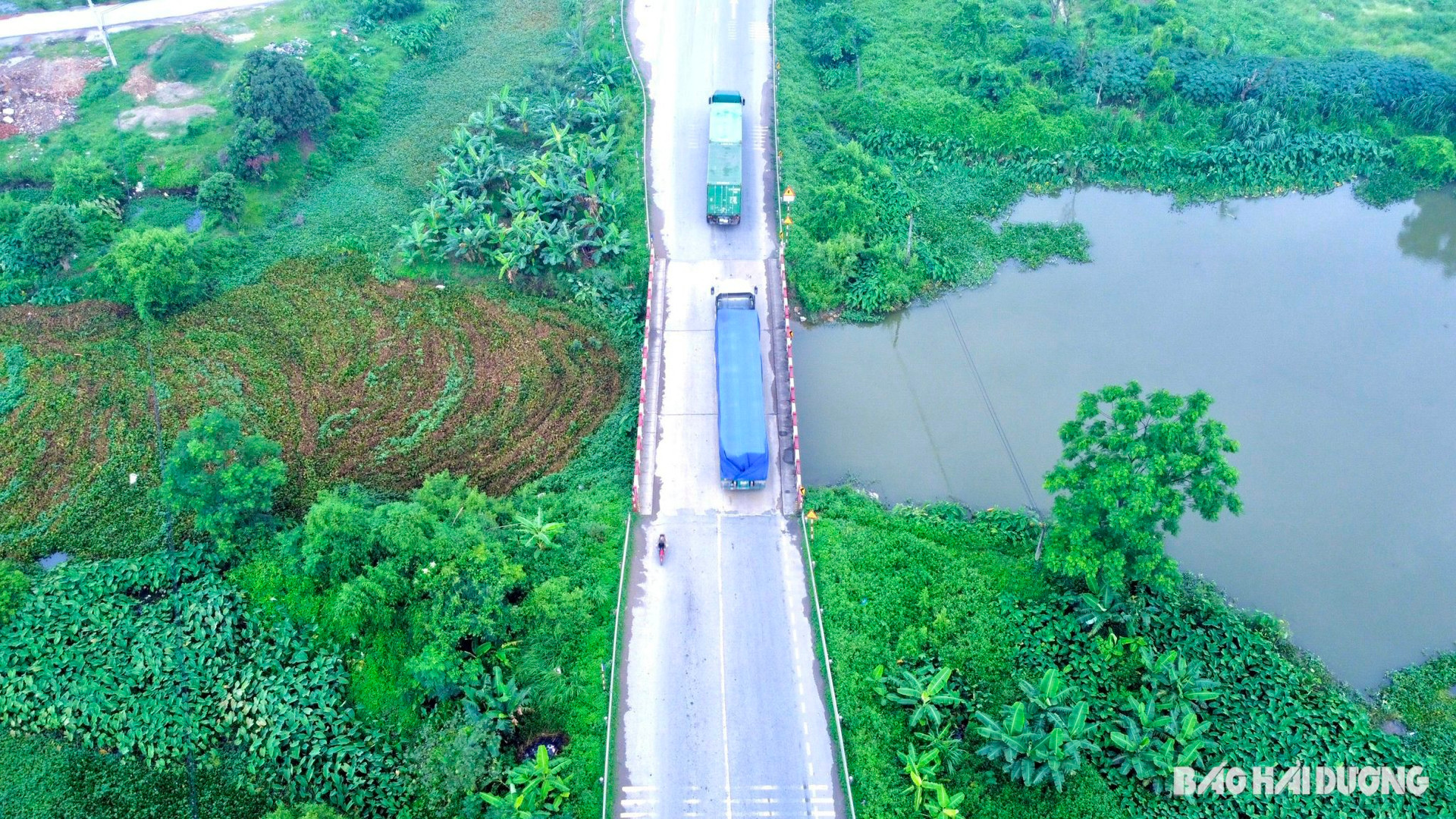
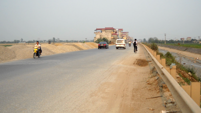
At km 22+800, in the Do bridge area, Cam Hung commune (Cam Giang), the road section from National Highway 38 to Do bridge is narrowed. Although it has been renovated and supplemented with reflective poles and reflective studs at both ends of the bridge, the road markings have faded, damaged, lost their signaling effect, and there is no lighting system.
The section at km 24+300 - km 24+500 across Guot bridge in Ngoc Lien commune is narrowed, the road markings are also blurred, and there are no lights.
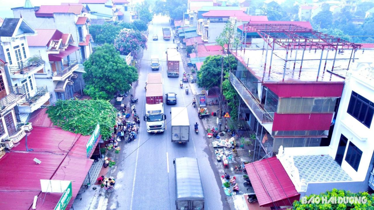
At km 25+200, there is Ngoc Lien market, a local market. From 5:00 to 8:30 a.m. every day, many stalls are set up along the road, and vendors encroach on the traffic safety corridor. Buyers park right on the road, leading to traffic congestion. Similarly, at km 30+700, there is Dong Giao market in Luong Dien commune, where people often display goods, stop to buy goods, and encroach on the traffic safety corridor.
At km32+80 of National Highway 38, at both ends of the Quan Goi overpass (Binh Giang), the road markings are blurred and traffic organization is not appropriate, so vehicles often collide.
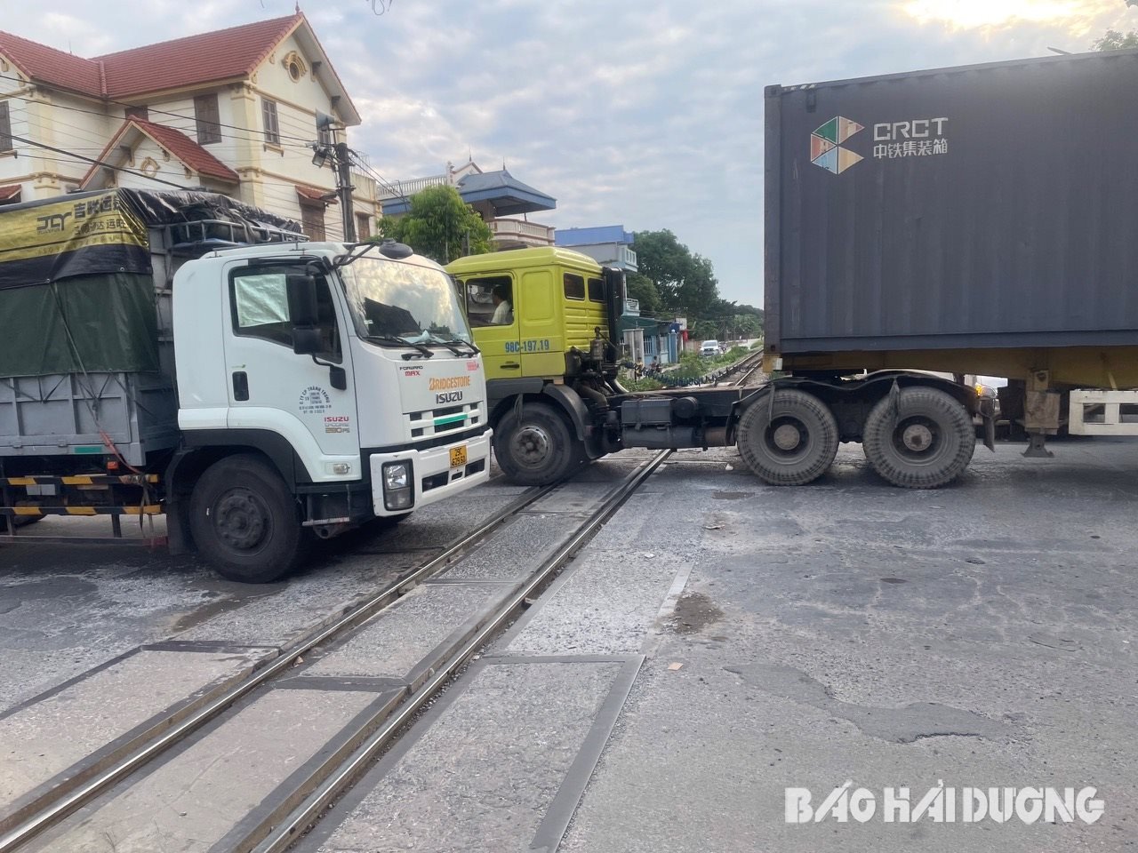
The most complicated situation is the traffic situation at the Hanoi - Hai Phong railway complex intersection with National Highway 38. The Hanoi - Hai Phong railway intersection with National Highway 38 is at km 27 +450 - km27 +550. This is also the section parallel to Provincial Road 394C towards Cam Giang town and Provincial Road 19 (towards Hung Yen). Immediately after that, at km 27 +650 is the intersection of National Highway 38 with Provincial Road 280 towards Bac Ninh. These two intersections are 100 m apart, the road is narrow, curved, and during rush hour, workers go to work and get off work at the same time as the trains, so traffic jams often occur.
Here, many vehicles are not driving in the correct lane, on Highway 38, while vehicles from provincial routes 19, 280, 394C are crossing, causing traffic chaos. The road surface at the junction between Highway 38 and the Gia Lam - Hai Phong railway is damaged in some places, with potholes. The signs in this area are placed low, difficult to observe and are obscured by the wood of houses along the road...
More than 4 km, 1 person died in an accident
At 7:10 p.m. on February 28, Mr. P.D.Tr., born in 1971 in Ngoc Mai village, Vinh Hung commune (Binh Giang), was riding a motorbike on Highway 38 from Hung Yen to Quan Goi. When he reached km 33, in Vinh Lai village, Vinh Hung commune, Mr. Tr. crashed into a marker post on the same side of the road, then plunged into a ditch and died.
Previously, at 1:10 p.m. on January 12, at km 23+350 of National Highway 38 in Cam Hung Commune (Cam Giang), a traffic accident occurred between two cars and a motorbike, killing a 52-year-old woman at the scene. The victim was Ms. LTG, born in 1972 in Nghia Dao Commune, Thuan Thanh Town (Bac Ninh).
These are just 2 of a total of 6 traffic accidents that occurred on National Highway 38 passing through Hai Duong in the first 4 months of 2024, killing 3 people and injuring 4 others. According to traffic accident data on national highways passing through Hai Duong in the first 4 months of 2024, National Highways 5 and 37 are the 2 routes with the most traffic accidents. However, if the ratio of the route length to the number of deaths due to traffic accidents is divided, the traffic situation on National Highway 38 is the most complicated and potentially dangerous. Because in the first 4 months of 2024, on average, every 4.3 km on National Highway 38, there was 1 person who died in a traffic accident. Meanwhile, on National Highway 5, on average, every 7.3 km, there was 1 person who died in a traffic accident. This number on National Highway 37 is 8 km, and on National Highway 17B is 9.3 km.
On February 1, 2024, the Provincial Traffic Safety Committee coordinated with the Road Management Office I.5, the Provincial Traffic Police Department, BOT 38 Joint Stock Company and relevant parties to agree on a plan to handle traffic infrastructure shortcomings on National Highway 38. BOT 38 Joint Stock Company has sent a document to the Vietnam Road Administration requesting a policy to handle traffic infrastructure shortcomings on the entire national highway.
After inspecting the scene of the accident that occurred at km 33 of National Highway 38 in Vinh Hung Commune (Binh Giang), the Provincial Traffic Safety Committee and related units discovered that at the new Sat bridge area, the road was steep and curved, there was no corrugated iron strip from the bridge down to the end of the slope, and there was no lighting system. The Provincial Traffic Safety Committee requested the Department of Transport of Hung Yen province to direct the unit managing and exploiting National Highway 38 to inspect and add corrugated iron strips with reflective eyes guiding from the bridge down to the end of the slope, coordinate with the locality to close the right-side connection point at km 32+950 of National Highway 38; and add lighting to the Sat bridge area at km 33, National Highway 38.
Hopefully, proposals and recommendations on improving traffic infrastructure on national highways through Hai Duong, especially on National Highway 38, will soon be considered and resolved to ensure traffic safety for the people.
NINH THANHSource


![[Photo] Prime Minister Pham Minh Chinh chairs a meeting of the Steering Committee for key projects in the transport sector.](https://vphoto.vietnam.vn/thumb/1200x675/vietnam/resource/IMAGE/2025/5/10/0f4a774f29ce4699b015316413a1d09e)

![[Photo] General Secretary To Lam holds a brief meeting with Russian President Vladimir Putin](https://vphoto.vietnam.vn/thumb/1200x675/vietnam/resource/IMAGE/2025/5/10/bfaa3ffbc920467893367c80b68984c6)


Comment (0)