
This is where the river originates from the U Bo and Co Roi mountains of the western Truong Son range, also called Nhat Le, and flows into the ocean.
Quang Binh people have an anecdote that the name Nhat Le originated from the story of King Tran Nhan Tong marrying Princess Huyen Tran to King Che Man of Champa. On the way to the South with her husband, the boat carrying the princess stopped at the Tru Nha (Nhat Le) seaport. Looking back at her homeland, which was gradually becoming distant, the Tran princess shed tears of longing, and the seaport here was named Nhat Le from that moment on.

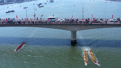
Nhat Le estuary
In 1069, when the Song Dynasty (China) threatened Dai Viet from the north, the Champa army again caused unrest in the south. This time, King Ly Thanh Tong was determined to pacify Champa before dealing with the Song army. The king sent Ly Thuong Kiet as the vanguard and personally commanded the navy. When Ly Thuong Kiet's army reached Nhat Le estuary, the Champa navy rushed out to block the Vietnamese army, but was defeated. The Champa king Che Cu (Yang Pu Sri Rudravarmadeva) was captured and had to redeem his life by offering the three provinces of Bo Chinh (present-day Tuyen Hoa, Quang Trach, Bo Trach), Dia Ly (present-day Le Thuy and Quang Ninh) and Ma Linh (present-day Quang Tri province).
In 1470, Le Thanh Tong went to fight against Champa. When the navy passed through Nhat Le seaport, the king composed a poem about Nhat Le sea battle, a heroic poem, carrying the spirit of the most intelligent and talented king in the history of the country.
During the half-century of the Trinh - Nguyen war, Nhat Le seaport held a very important position, so both sides were determined to take it. Therefore, this place became a fierce battlefield between the two feudal forces of Dang Trong - Dang Ngoai, lasting from the first battle in March 1627 to the last battle in 1672. In 1631, Dao Duy Tu advised Lord Nguyen and then personally urged the construction of Tran Ninh rampart, running from Nhat Le seaport to the foot of Dau Mau mountain, using the river and streams outside as a moat, and using iron chains to block Nhat Le and Minh Linh ports. In 1633, Nguyen Huu Dat built Truong Sa rampart in Cu Ha commune to resist the Trinh army's attack by sea. The rampart started from Nhat Le seaport and ran along the coast to Gia Ninh commune (Quang Ninh district). Traces of these works still remain today. The inconclusive war caused much pain and suffering to the people.
During the resistance war against the US to save the country (1954 - 1975), Nhat Le estuary was where ships transported food and weapons from the North to support the battlefield in the South. Therefore, during the war of destruction, the US army used the air force to fiercely attack North Vietnam, most heavily in Quang Binh province. The main places attacked included Long Dai ferry (now Long Dai bridge), Xuan Son ferry, Gianh river ferry (now Gianh river bridge), Ngang pass, National Highway 1, Road 15, Truong Son road system (Road 559), Dong Hoi city and Nhat Le estuary.

Mother Suot Monument

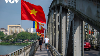
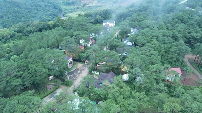
Dong Hoi city seen from Nhat Le gate
In 1809 - 1813, Nguyen Du worked as a surveyor in Quang Binh. The poem Tai thu nguyen van he wrote while he was here, later engraved and printed in the collection Nam trung tap ngam , begins with 2 lines:
The original water station of Phat Son village,
Nhat Le dynasty bravely crossed the sea gate.
Translation:
Tram River flows from the mountain village
Nhat Le tide reaches all the way to the port.
After all the wars have passed, Nhat Le estuary has returned to a peaceful life, the sea and sky are in harmony, the mountains and rivers sing in joy. The estuary has been mentioned in poetry, now it is a bustling area, with boats on the wharf and under the boats, and is one of the scenic spots of Quang Binh province.
Located next to Nhat Le estuary is Nhat Le beach. This beach has a very favorable location and is one of the most beautiful and convenient tourist destinations in Vietnam because it is only about 1 km from the center of Quang Binh city, nearly 5 km from Dong Hoi station and more than 8 km from Dong Hoi airport. The special feature of Nhat Le beach is that although it is very close to residential areas, it still retains its inherent wildness and peace. Walking along the beach, breathing in the fresh air, listening to the sound of waves lapping the shore, visitors will experience many different emotions.
At dawn, the landscape here seems to be dressed in a new coat by nature, radiant in the morning sunlight. When night falls, the streets are lit up, the boats preparing to go out to sea to fish turn on their headlights and release magical, shimmering halos into the air.
Nhat Le River, Nhat Le estuary, Nhat Le beach are cultural and historical heritages that have become valuable tourism resources of Dong Hoi City and Quang Binh Province.
On November 15, 2014, the Vietnam Record Organization awarded a certificate of recognition for Nhat Le beach as one of the top 10 most attractive sea tourism destinations in Vietnam according to the criteria for announcing the value of Top attractive destinations in Vietnam.
Previously, Nhat Le estuary had become a national historical and cultural relic according to Decision No. 97/QD dated January 21, 1992 of the Minister of Culture - Information, now the Ministry of Culture - Sports - Tourism. (to be continued)
Source: https://thanhnien.vn/nhung-cua-bien-mien-trung-huyen-thoai-cua-bien-nhat-le-noi-lich-su-in-day-dau-chan-185250304201002707.htm


![[Photo] Explore the Great Wall of Water in the Suburbs of Beijing, China](https://vphoto.vietnam.vn/thumb/402x226/vietnam/resource/IMAGE/2025/5/5/c2e706533d824a329167c84669e581a0)


![[Photo] Prime Minister Pham Minh Chinh meets with the Policy Advisory Council on Private Economic Development](https://vphoto.vietnam.vn/thumb/1200x675/vietnam/resource/IMAGE/2025/5/8/387da60b85cc489ab2aed8442fc3b14a)
![[Photo] General Secretary To Lam begins official visit to Russia and attends the 80th Anniversary of Victory over Fascism](https://vphoto.vietnam.vn/thumb/1200x675/vietnam/resource/IMAGE/2025/5/8/5d2566d7f67d4a1e9b88bc677831ec9d)


Comment (0)